Ness Loch

Lake, Pool, Pond, Freshwater Marsh in Shetland

Scotland

Ness Loch

Turriefield, Sandness
Turriefield, Sandness Credit: Mike Pennington

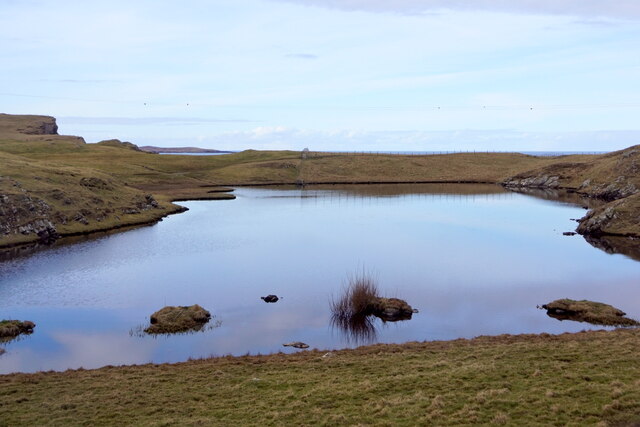
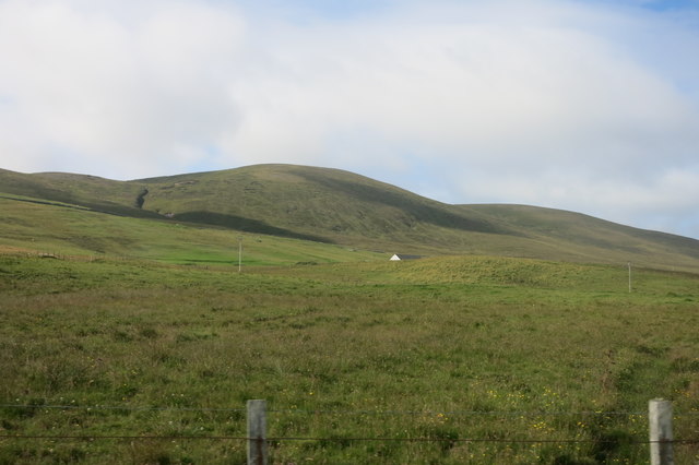
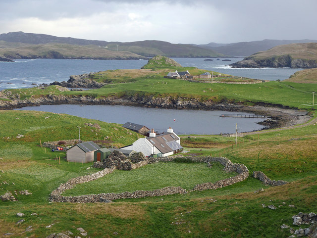
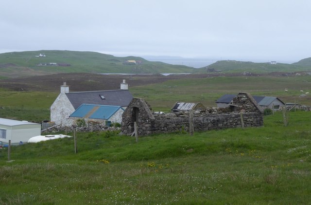
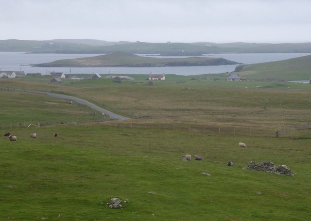
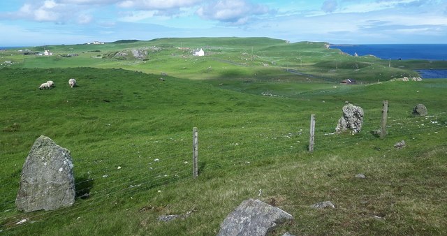
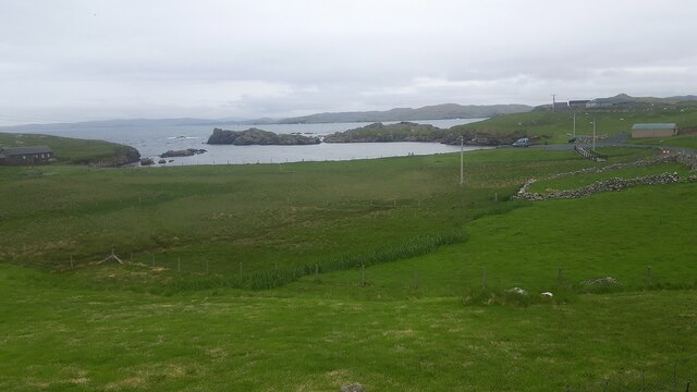
Ness Loch is a small, picturesque freshwater loch located on the island of Shetland, Scotland. It is situated in the south-eastern part of the island, near the village of Sandwick. The loch covers an area of approximately 10 hectares and is surrounded by rolling hills and heather-covered moorland.

Ness Loch is a shallow body of water with an average depth of around 2 meters. It is fed by a number of small streams and springs that flow from the surrounding hills. The loch is known for its clear, pristine waters, which support a diverse range of aquatic life.

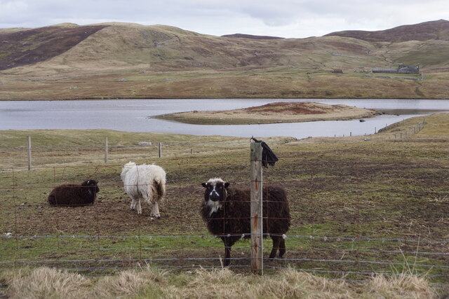
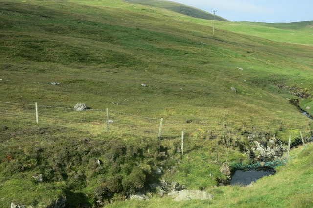
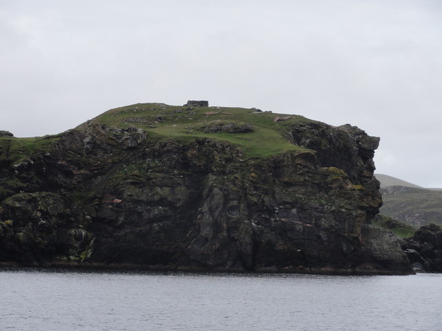
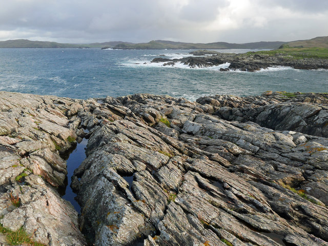
The shores of Ness Loch are mainly rocky, with some areas covered in reed beds and marsh vegetation. The surrounding landscape is dominated by heather, grasses, and scattered birch trees. The loch serves as an important habitat for a variety of bird species, including common sandpipers, red-throated divers, and tufted ducks. It is also home to several species of fish, such as brown trout and pike.

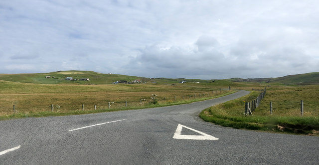
Ness Loch is a popular destination for anglers, who come to fish for trout and pike in its tranquil waters. The loch is easily accessible, with a road running along its eastern shore, providing stunning views of the surrounding countryside. It is also a favored spot for nature lovers and photographers, who are drawn to its natural beauty and abundant wildlife.

Overall, Ness Loch is a charming and peaceful freshwater loch, offering visitors a chance to connect with nature and enjoy the tranquility of the Shetland landscape.

If you have any feedback on the listing, please let us know in the comments section below.
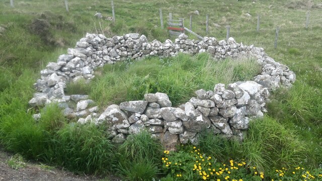
Ness Loch Images

Images are sourced within 2km of 60.30431/-1.6086804 or Grid Reference HU2157. Thanks to Geograph Open Source API. All images are credited.

Turriefield, Sandness
Bousta Geo, Sandness
Da Bod and Little Bousta, Sandness
Loch of Valtigarth, Sandness
Loch of Collaster, Sandness
Burn of Trona Scord A small stream that runs beside the road for a while.
Burn of Trona Scord
A small stream that runs beside the road for a while.
Cattle Grid, A971
Cattle Grid, A971
Rough Grazing by the Road Landscape near Sandness
Rough Grazing by the Road
Landscape near Sandness
The Road to Bousta
The Road to Bousta
Cliff Face View from Papa Stour Ferry
Cliff Face
View from Papa Stour Ferry
Little Bousta, near Sandness, Shetland A croft at the end of the road. Muckle Bousta, the nearest croft to Little Bousta,  is visible over the small bay.
Little Bousta, near Sandness, Shetland
A croft at the end of the road. Muckle Bousta, the nearest croft to Little Bousta, is visible over the small bay.
Hillside behind Little Bousta Good country for sheep. Interesting topography near Bousta.
Hillside behind Little Bousta
Good country for sheep. Interesting topography near Bousta.
Coastline by Skerry of Stools A headland of sharp clean rock projecting into St Magnus Bay.
Coastline by Skerry of Stools
A headland of sharp clean rock projecting into St Magnus Bay.
Turrifield South east of Norby. Crofts old and new.
Turrifield
South east of Norby. Crofts old and new.
View across rough pasture To Holm of Melby with Papa Stour beyond.
View across rough pasture
To Holm of Melby with Papa Stour beyond.
Rinns of Shurdimires prehistoric stone row A probable single stone row measuring 16.2m long, including two large-sized orthostats and one medium-sized stone situated on the western side of a rock outcrop. The row is orientated north to south. <span class="nowrap"><a title="https://stonerows.wordpress.com/gazetteer/region/rest-of-scotland/rinns-of-shurdimires/" rel="nofollow ugc noopener" href="https://stonerows.wordpress.com/gazetteer/region/rest-of-scotland/rinns-of-shurdimires/">Link</a><img style="margin-left:2px;" alt="External link" title="External link - shift click to open in new window" src="https://s1.geograph.org.uk/img/external.png" width="10" height="10"/></span>
Rinns of Shurdimires prehistoric stone row
A probable single stone row measuring 16.2m long, including two large-sized orthostats and one medium-sized stone situated on the western side of a rock outcrop. The row is orientated north to south. LinkExternal link
Sheepfold next to the road at Bousta
Bay at Bousta
Bay at Bousta
Show me another place!

Ness Loch is located at Grid Ref: HU2157 (Lat: 60.30431, Lng: -1.6086804)

Unitary Authority: Shetland Islands

Police Authority: Highlands and Islands

What 3 Words

///giants.rock.town. Near Walls, Shetland Islands

Related Wikis

Bousta

Bousta is a settlement on Mainland, in Shetland, Scotland. Bousta is situated in the parish of Walls and Sandness.Scott's Hawkweed is native to the pastures...

Sandness

Sandness (the "d" is not pronounced locally) is a headland and district in the west of Shetland Mainland, Scotland. Sandness was a civil parish, which...

Forewick Holm

Forewick Holm is a 1-hectare (2.5-acre) island in the Sound of Papa in the Shetland islands, Scotland. Located between Papa Stour and the Sandness peninsula...

Brei Holm

Brei Holm is a tiny tidal islet in the western Shetland Islands. It is due east of Papa Stour, to which it is connected at low tide, just outside Housa...

Nearby Amenities

Located within 500m of 60.30431,-1.6086804
Power: pole
Lat/Long: 60.3029175/-1.6171727
Power: pole
Lat/Long: 60.3029656/-1.6167429
Power: pole
Lat/Long: 60.3030183/-1.6157147
Power: pole
Lat/Long: 60.3030778/-1.6143282
Power: pole
Lat/Long: 60.3031224/-1.6131844
Power: pole
Lat/Long: 60.3031522/-1.6125143
Power: pole
Lat/Long: 60.3031854/-1.6117218
Power: pole
Lat/Long: 60.3032495/-1.6103076
Power: pole
Lat/Long: 60.3032907/-1.6093649
Power: pole
Lat/Long: 60.3033319/-1.6085446
Power: pole
Lat/Long: 60.3033869/-1.607172
Power: pole
Lat/Long: 60.3034395/-1.6059104
Power: pole
Lat/Long: 60.3031763/-1.6047596
Power: pole
Lat/Long: 60.3029656/-1.6038377
Power: pole
Lat/Long: 60.302763/-1.6029919
Power: pole
Lat/Long: 60.3025764/-1.6022109
Power: pole
Lat/Long: 60.3022673/-1.6009077
Power: pole
Lat/Long: 60.3025249/-1.6047527
Power: pole
Lat/Long: 60.3017796/-1.6047458
Power: pole
Lat/Long: 60.3011168/-1.6047434
Power: pole
Lat/Long: 60.300723/-1.6047342
Power: pole
Lat/Long: 60.3006417/-1.6117784
Power: pole
Lat/Long: 60.3012427/-1.6119563
Power: pole
Lat/Long: 60.3019101/-1.6121481
Power: pole
Lat/Long: 60.3025707/-1.6123399
Power: pole
Lat/Long: 60.3033113/-1.6009319
Power: pole
Lat/Long: 60.3030732/-1.6013571
The data included in this document is from www.openstreetmap.org. The data is made available under ODbL.

Have you been to Ness Loch?

Leave your review of Ness Loch below (or comments, questions and feedback).