Brim Bray Pond

Lake, Pool, Pond, Freshwater Marsh in Yorkshire Harrogate

England

Brim Bray Pond

Drift Lane Walled track leading towards the Drovers Inn, Dallowgill now adopted by the Ripon Rowell Walk.
Drift Lane Credit: Chris Heaton

Brim Bray Pond is a small freshwater pond located in the Yorkshire Dales National Park in Yorkshire, England. The pond is surrounded by lush greenery and is a popular spot for birdwatching and wildlife observation. The pond is fed by natural springs and a small stream that flows into it, keeping the water clear and clean.

Brim Bray Pond is home to a variety of aquatic plants and animals, including water lilies, frogs, and various species of fish. The pond is also frequented by a variety of bird species, making it a great spot for birdwatchers to observe waterfowl and other aquatic birds.

Visitors to Brim Bray Pond can enjoy a peaceful and serene setting, perfect for picnicking or simply relaxing by the water's edge. The pond is surrounded by walking paths and benches, making it a great spot for a leisurely stroll or a quiet moment of reflection.

Overall, Brim Bray Pond is a beautiful and tranquil spot in the Yorkshire Dales, offering visitors a chance to connect with nature and enjoy the peaceful surroundings of this picturesque pond.

If you have any feedback on the listing, please let us know in the comments section below.

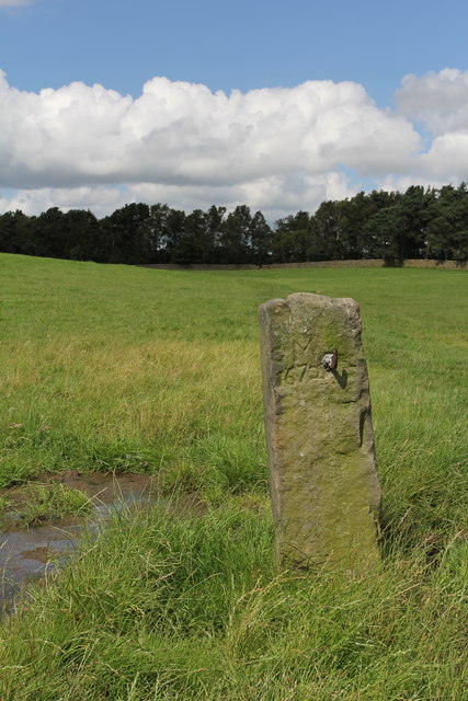
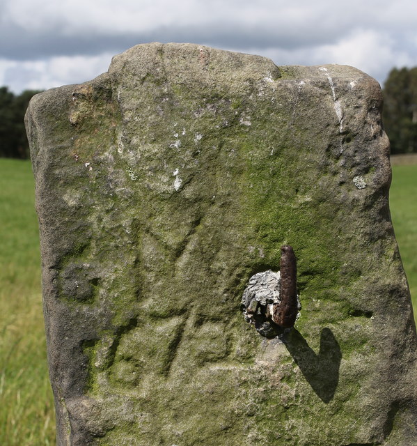
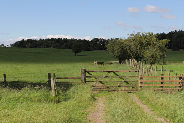
Brim Bray Pond Images

Images are sourced within 2km of 54.113441/-1.6690331 or Grid Reference SE2168. Thanks to Geograph Open Source API. All images are credited.

Drift Lane Walled track leading towards the Drovers Inn, Dallowgill now adopted by the Ripon Rowell Walk.
Drift Lane
Walled track leading towards the Drovers Inn, Dallowgill now adopted by the Ripon Rowell Walk.
Road on Skelding Moor Narrow moorland road crossing Skelding Moor - the gorse already starting to flower despite still in the month of January.
Road on Skelding Moor
Narrow moorland road crossing Skelding Moor - the gorse already starting to flower despite still in the month of January.
Road over Skelding Moor to Harper Hill Narrow road from Low Grantley to Harper Hill
Road over Skelding Moor to Harper Hill
Narrow road from Low Grantley to Harper Hill
Skelding Moor Moorland landscape near Grantley
Skelding Moor
Moorland landscape near Grantley
Old Gatepost. inscribed with the letters GM and numbers 1672. <a href="https://www.geograph.org.uk/photo/3056118">SE2270 : Old Gatepost (detail).</a>
Old Gatepost.
inscribed with the letters GM and numbers 1672. SE2270 : Old Gatepost (detail).
Old Gatepost (detail). <a href="https://www.geograph.org.uk/photo/3056115">SE2270 : Old Gatepost.</a>
Old Gatepost (detail).
Footpath from Redmires towards Lumley Moor.
Moorland edge off Drift Lane Close to the limits of improved land is this area of attractive moorland grasses, sedges and heather. Higher ground in the distance has improved grassland.
Moorland edge off Drift Lane
Close to the limits of improved land is this area of attractive moorland grasses, sedges and heather. Higher ground in the distance has improved grassland.
Drift Lane A bridleway near the moor edge. One could spend a happy hour or two here in late summer picking the huge crop of hedgerow blackberries.
Drift Lane
A bridleway near the moor edge. One could spend a happy hour or two here in late summer picking the huge crop of hedgerow blackberries.
Where the fields meet Skelding Moor Just off Ripon Rowel Walk
Where the fields meet Skelding Moor
Just off Ripon Rowel Walk
Track north of Redmires Looking down the arrow straight track that runs from the lane at Redmires House to woods that conceal Lumley Moor Reservoir
Track north of Redmires
Looking down the arrow straight track that runs from the lane at Redmires House to woods that conceal Lumley Moor Reservoir
Straight On! This lanes runs across Skelding Moor from Drift Lane to Bonfire Hill almost without a curve for over a mile.
Straight On!
This lanes runs across Skelding Moor from Drift Lane to Bonfire Hill almost without a curve for over a mile.
Drift Lane towards Belford
Heatherlands, near High Grantley
Road at the entrance to Grantley Thwaites Looking westward.
Road at the entrance to Grantley Thwaites
Looking westward.
Drift Lane (Track) at Toft Ridge Looking northward.
Drift Lane (Track) at Toft Ridge
Looking northward.
A steady downhill The minor road dropping off Skelding Moor towards the farmland below. The hill in the distance, complete with tower is How Hill on the Fountains Abbey estate, whilst the rather obvious white blob to the right is the incinerator plant at Alleron park to the east of Knaresborough.
A steady downhill
The minor road dropping off Skelding Moor towards the farmland below. The hill in the distance, complete with tower is How Hill on the Fountains Abbey estate, whilst the rather obvious white blob to the right is the incinerator plant at Alleron park to the east of Knaresborough.
Eagle-eyed Benchmark Spotter This benchmark is less than 500m away from the entrance to Grantley Thwaites, and it is on a sandstone gatepost midway along an intake field.
It is recorded as being at 623.7ft asl.
Eagle-eyed Benchmark Spotter
This benchmark is less than 500m away from the entrance to Grantley Thwaites, and it is on a sandstone gatepost midway along an intake field. It is recorded as being at 623.7ft asl.
Show me another place!

Brim Bray Pond is located at Grid Ref: SE2168 (Lat: 54.113441, Lng: -1.6690331)

Division: West Riding

Administrative County: North Yorkshire

District: Harrogate

Police Authority: North Yorkshire

What 3 Words

///window.tastings.finders. Near Pateley Bridge, North Yorkshire

Related Wikis

Eavestone

Eavestone is a hamlet and civil parish in the Harrogate district of North Yorkshire, England. It is situated near Brimham Rocks, 3 miles (4.8 km) east...

Grantley, North Yorkshire

Grantley is a village (also known as High Grantley) and civil parish in North Yorkshire, England. It lies 5 miles (8 km) west of Ripon. The parish also...

Grantley Hall

Grantley Hall is an English country house located in North Yorkshire, England. It is situated near Grantley, about 5 miles (8 km) to the west of Ripon...

Ripon and Pateley Bridge Rural District

Ripon and Pateley Bridge was a rural district in the West Riding of Yorkshire, England from 1937 to 1974. It was created in 1937 by a County Review Order...

Nearby Amenities

Located within 500m of 54.113441,-1.6690331
Norberry Hill
Natural: peak
Source: OS 1:25k
Source Name: OS 1:25k
Lat/Long: 54.112528/-1.6646232
Ford: yes
Lat/Long: 54.1123377/-1.6695918
Barrier: stile
Lat/Long: 54.115364/-1.6740819
The data included in this document is from www.openstreetmap.org. The data is made available under ODbL.

Have you been to Brim Bray Pond?

Leave your review of Brim Bray Pond below (or comments, questions and feedback).