Tarra Water

Lake, Pool, Pond, Freshwater Marsh in Shetland

Scotland

Tarra Water

Turriefield, Sandness
Turriefield, Sandness Credit: Mike Pennington

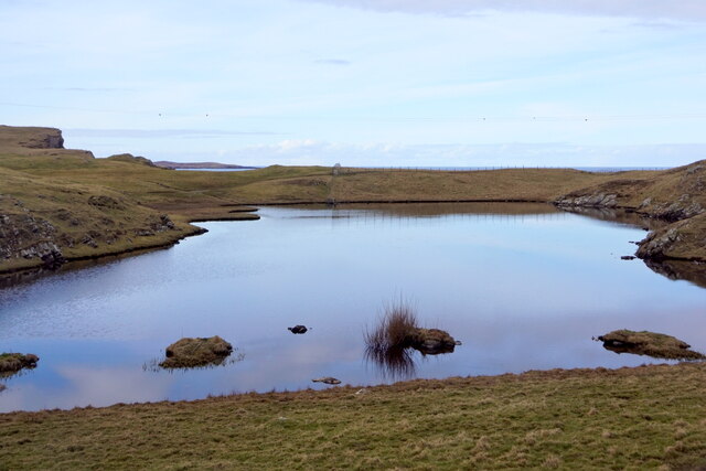
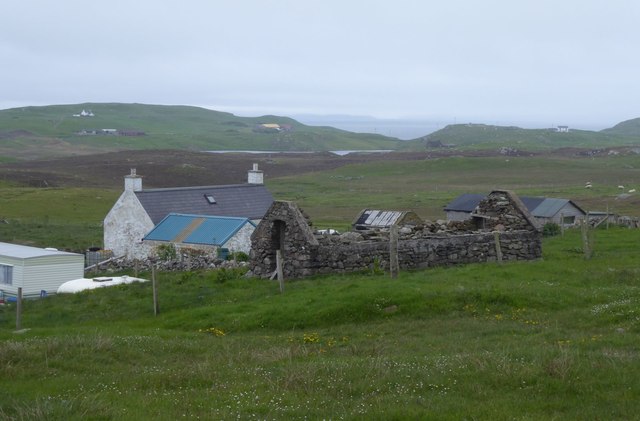
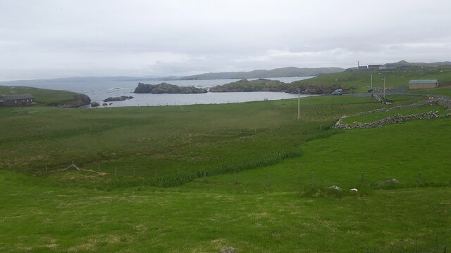
Tarra Water is a small freshwater loch located on the Shetland Islands, Scotland. It is situated in the central part of the Mainland, the largest island in the Shetland archipelago. This body of water is commonly referred to as a "water" in the local dialect, which is a term used for a small lake or loch.

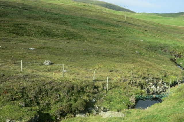
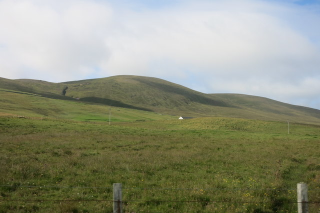
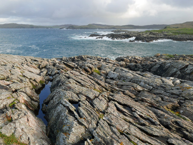
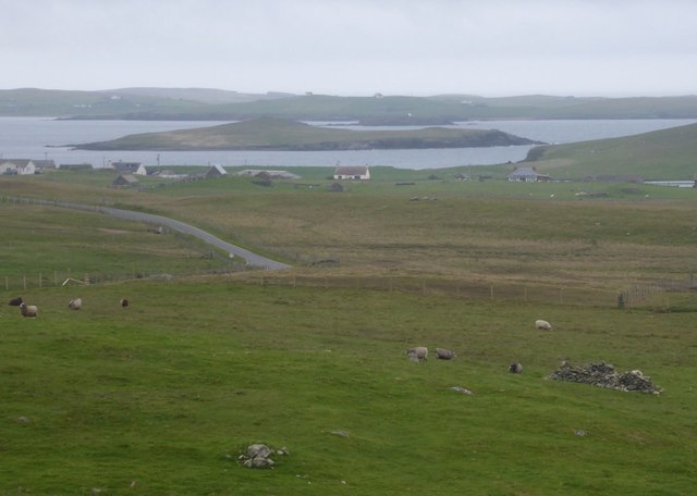
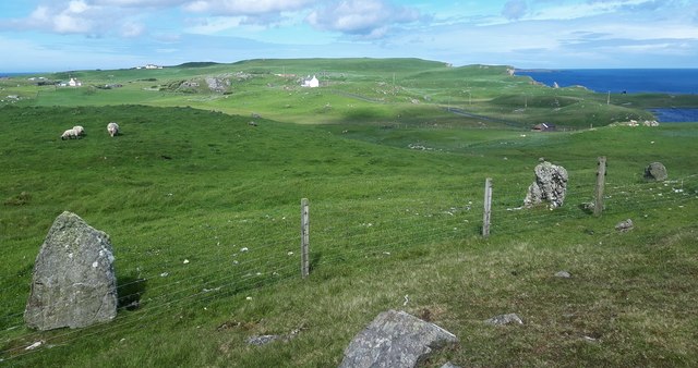
Tarra Water covers an area of approximately 4 hectares (10 acres) and has a maximum depth of around 6 meters (20 feet). It is surrounded by rolling hills and lush vegetation, creating a picturesque setting. The water in Tarra Water is sourced from rainfall and runoff from the surrounding land, making it a freshwater body.

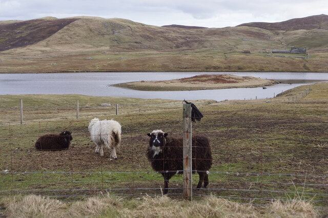
The loch is home to a variety of aquatic flora and fauna. Common plant species found in and around Tarra Water include water lilies, reeds, and various submerged aquatic plants. These provide habitat and food for a diverse range of wildlife, including waterfowl such as ducks and swans, as well as fish and invertebrates.

Fishing is a popular activity at Tarra Water, with anglers often targeting species like brown trout and pike. The loch is also a haven for birdwatchers, as it attracts a wide range of bird species throughout the year, including migratory birds during the spring and autumn seasons.

Tarra Water offers a tranquil and serene environment for visitors seeking a peaceful retreat. Its natural beauty, combined with the surrounding landscape, makes it a popular spot for nature lovers, photographers, and those simply looking to enjoy the great outdoors.

If you have any feedback on the listing, please let us know in the comments section below.
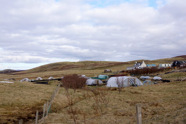
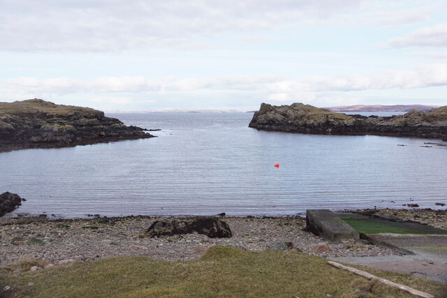
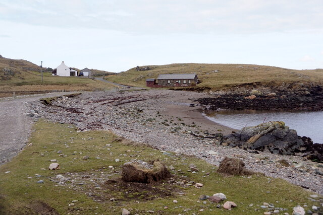
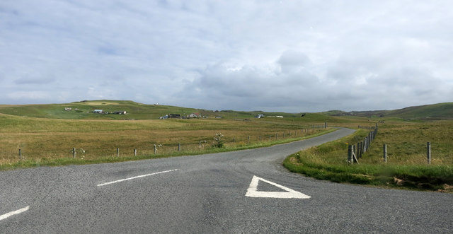
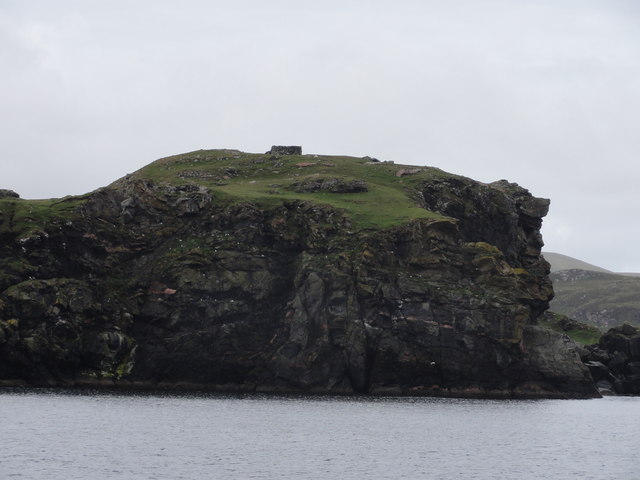
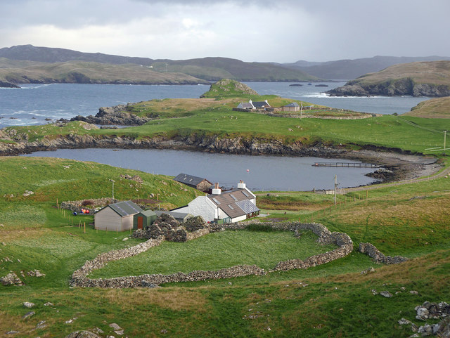
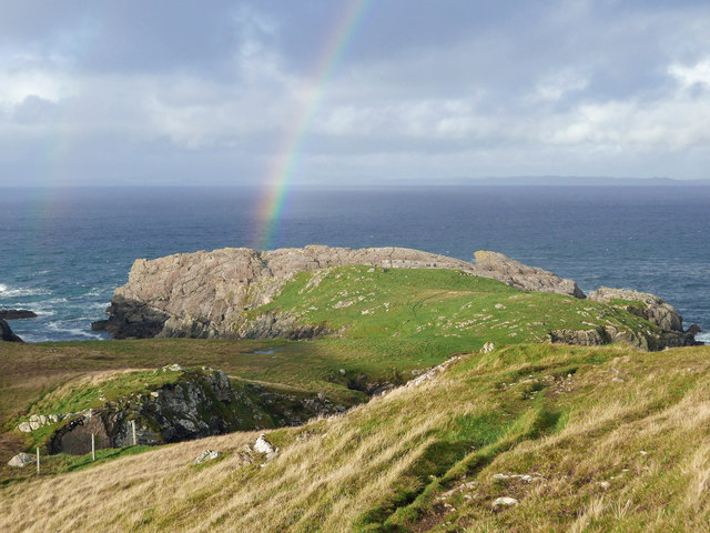
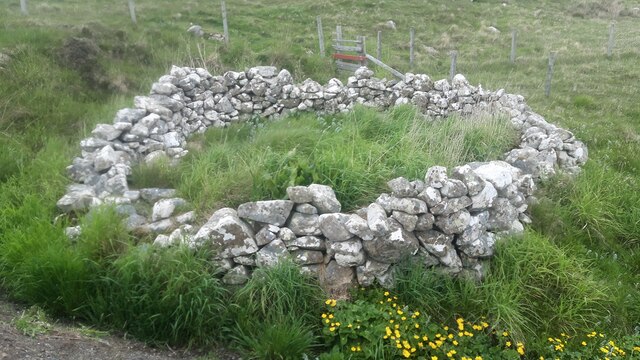
Tarra Water Images

Images are sourced within 2km of 60.302389/-1.6057542 or Grid Reference HU2157. Thanks to Geograph Open Source API. All images are credited.

Turriefield, Sandness
Bousta Geo, Sandness
Da Bod and Little Bousta, Sandness
Loch of Valtigarth, Sandness
Loch of Collaster, Sandness
Burn of Trona Scord A small stream that runs beside the road for a while.
Burn of Trona Scord
A small stream that runs beside the road for a while.
Cattle Grid, A971
Cattle Grid, A971
Rough Grazing by the Road Landscape near Sandness
Rough Grazing by the Road
Landscape near Sandness
The Road to Bousta
The Road to Bousta
Cliff Face View from Papa Stour Ferry
Cliff Face
View from Papa Stour Ferry
Little Bousta, near Sandness, Shetland A croft at the end of the road. Muckle Bousta, the nearest croft to Little Bousta,  is visible over the small bay.
Little Bousta, near Sandness, Shetland
A croft at the end of the road. Muckle Bousta, the nearest croft to Little Bousta, is visible over the small bay.
Hillside behind Little Bousta Good country for sheep. Interesting topography near Bousta.
Hillside behind Little Bousta
Good country for sheep. Interesting topography near Bousta.
Coastline by Skerry of Stools A headland of sharp clean rock projecting into St Magnus Bay.
Coastline by Skerry of Stools
A headland of sharp clean rock projecting into St Magnus Bay.
Turrifield South east of Norby. Crofts old and new.
Turrifield
South east of Norby. Crofts old and new.
View across rough pasture To Holm of Melby with Papa Stour beyond.
View across rough pasture
To Holm of Melby with Papa Stour beyond.
Rinns of Shurdimires prehistoric stone row A probable single stone row measuring 16.2m long, including two large-sized orthostats and one medium-sized stone situated on the western side of a rock outcrop. The row is orientated north to south. <span class="nowrap"><a title="https://stonerows.wordpress.com/gazetteer/region/rest-of-scotland/rinns-of-shurdimires/" rel="nofollow ugc noopener" href="https://stonerows.wordpress.com/gazetteer/region/rest-of-scotland/rinns-of-shurdimires/">Link</a><img style="margin-left:2px;" alt="External link" title="External link - shift click to open in new window" src="https://s1.geograph.org.uk/img/external.png" width="10" height="10"/></span>
Rinns of Shurdimires prehistoric stone row
A probable single stone row measuring 16.2m long, including two large-sized orthostats and one medium-sized stone situated on the western side of a rock outcrop. The row is orientated north to south. LinkExternal link
Sheepfold next to the road at Bousta
Bay at Bousta
Bay at Bousta
Show me another place!

Tarra Water is located at Grid Ref: HU2157 (Lat: 60.302389, Lng: -1.6057542)

Unitary Authority: Shetland Islands

Police Authority: Highlands and Islands

What 3 Words

///cheering.beep.passage. Near Walls, Shetland Islands

Related Wikis

Bousta

Bousta is a settlement on Mainland, in Shetland, Scotland. Bousta is situated in the parish of Walls and Sandness.Scott's Hawkweed is native to the pastures...

Sandness

Sandness (the "d" is not pronounced locally) is a headland and district in the west of Shetland Mainland, Scotland. Sandness was a civil parish, which...

Forewick Holm

Forewick Holm is a 1-hectare (2.5-acre) island in the Sound of Papa in the Shetland islands, Scotland. Located between Papa Stour and the Sandness peninsula...

Broch of West Burrafirth

The Broch of West Burrafirth is an Iron Age broch located on the west side of Mainland, Shetland (grid reference HU25625720). == Location == The broch...

Nearby Amenities

Located within 500m of 60.302389,-1.6057542
Power: pole
Lat/Long: 60.3030778/-1.6143282
Power: pole
Lat/Long: 60.3031224/-1.6131844
Power: pole
Lat/Long: 60.3031522/-1.6125143
Power: pole
Lat/Long: 60.3031854/-1.6117218
Power: pole
Lat/Long: 60.3032495/-1.6103076
Power: pole
Lat/Long: 60.3032907/-1.6093649
Power: pole
Lat/Long: 60.3033319/-1.6085446
Power: pole
Lat/Long: 60.3033869/-1.607172
Power: pole
Lat/Long: 60.3034395/-1.6059104
Power: pole
Lat/Long: 60.3031763/-1.6047596
Power: pole
Lat/Long: 60.3029656/-1.6038377
Power: pole
Lat/Long: 60.302763/-1.6029919
Power: pole
Lat/Long: 60.3025764/-1.6022109
Power: pole
Lat/Long: 60.3022673/-1.6009077
Power: pole
Lat/Long: 60.3020613/-1.6000088
Power: pole
Lat/Long: 60.3020555/-1.5993225
Power: pole
Lat/Long: 60.3020532/-1.5979107
Power: pole
Lat/Long: 60.3025249/-1.6047527
Power: pole
Lat/Long: 60.3017796/-1.6047458
Power: pole
Lat/Long: 60.3011168/-1.6047434
Power: pole
Lat/Long: 60.300723/-1.6047342
Power: pole
Lat/Long: 60.3006417/-1.6117784
Power: pole
Lat/Long: 60.3012427/-1.6119563
Power: pole
Lat/Long: 60.3019101/-1.6121481
Power: pole
Lat/Long: 60.3025707/-1.6123399
Power: pole
Lat/Long: 60.3033113/-1.6009319
Power: pole
Lat/Long: 60.3030732/-1.6013571
The data included in this document is from www.openstreetmap.org. The data is made available under ODbL.

Have you been to Tarra Water?

Leave your review of Tarra Water below (or comments, questions and feedback).