The Clipps

Coastal Feature, Headland, Point in Shetland

Scotland

The Clipps

Turriefield, Sandness
Turriefield, Sandness Credit: Mike Pennington

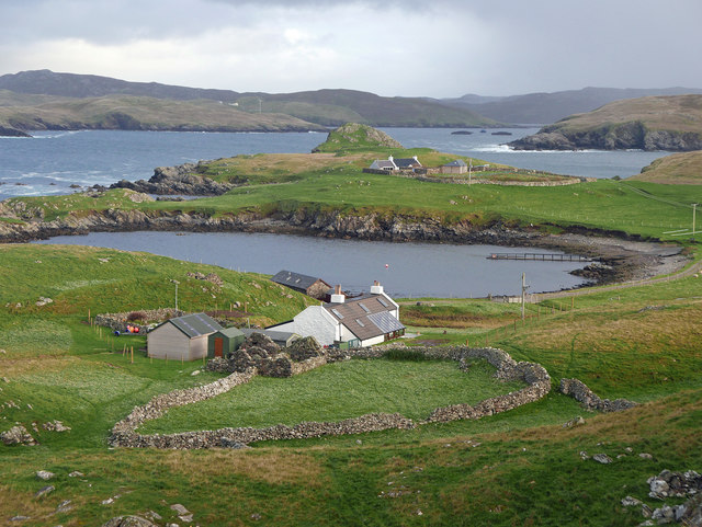
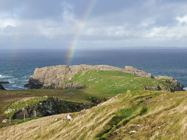
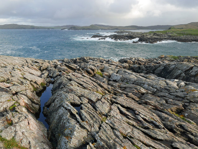
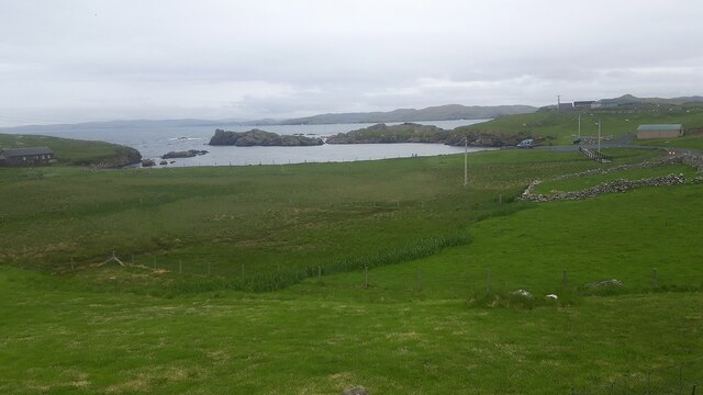
The Clipps is a prominent coastal feature located in the Shetland Islands, situated off the northeast coast of Scotland. It is specifically categorized as a headland or point due to its distinctive shape and geographical characteristics.

The Clipps stands at an impressive height of approximately 50 meters, towering over the surrounding rugged coastline. Its steep cliffs, composed of hard, resistant rocks like granite and gneiss, provide a stunning backdrop against the crashing waves of the North Atlantic Ocean. The headland extends out into the sea, forming a narrow, elongated shape that juts into the water.

The geological formation of The Clipps is a result of erosional processes over millions of years. The relentless power of the ocean waves and strong currents have gradually shaped the headland, carving out caves, arches, and stacks along its perimeter. These natural features have become a haven for various marine life, including seabirds, seals, and other coastal species.

The Clipps is not only a significant geological landmark but also boasts breathtaking panoramic views of the surrounding coastline. It offers a vantage point where visitors can admire the vastness of the ocean, observe the interplay of light and shadow on the cliffs, and witness the dynamic forces of nature at work.

Due to its outstanding natural beauty and ecological importance, The Clipps is a popular destination for nature enthusiasts, hikers, and photographers. It serves as a reminder of the incredible and ever-changing landscapes that exist in the Shetland Islands, adding to the allure of this remote and captivating part of the world.

If you have any feedback on the listing, please let us know in the comments section below.
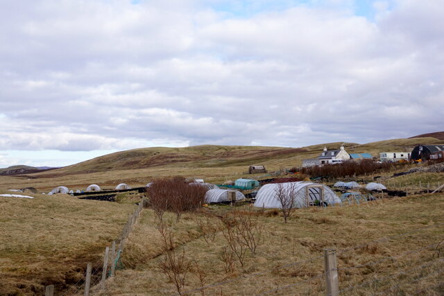
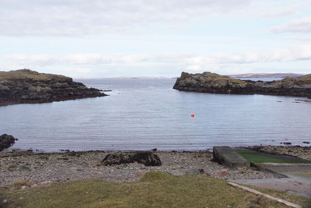
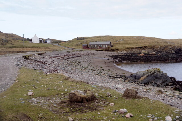
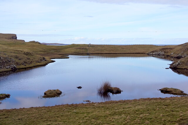
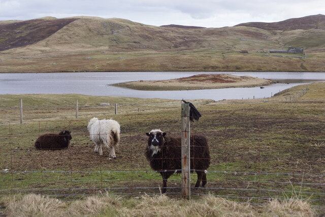
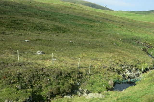
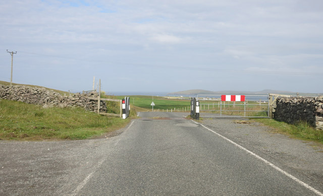
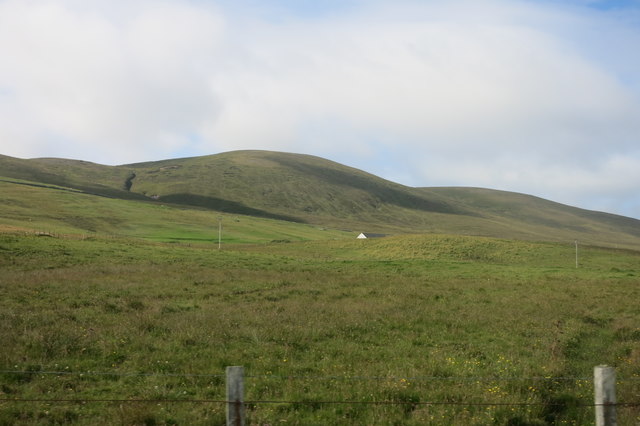
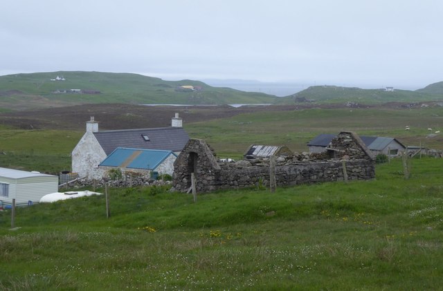
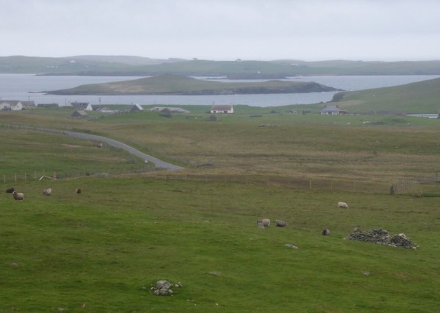
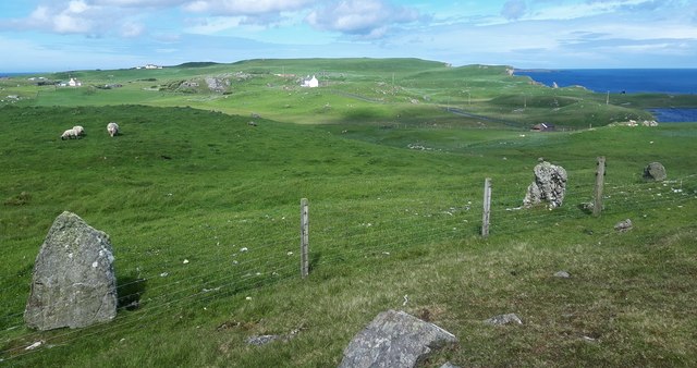
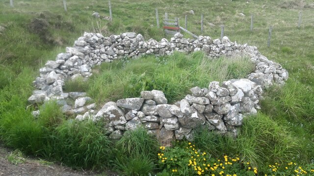
The Clipps Images

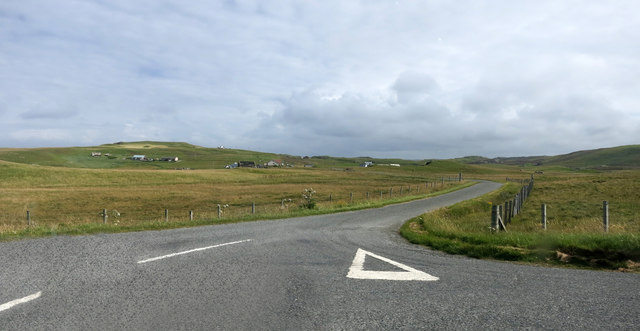
Images are sourced within 2km of 60.304515/-1.6144682 or Grid Reference HU2157. Thanks to Geograph Open Source API. All images are credited.

Turriefield, Sandness
Bousta Geo, Sandness
Da Bod and Little Bousta, Sandness
Loch of Valtigarth, Sandness
Loch of Collaster, Sandness
Burn of Trona Scord A small stream that runs beside the road for a while.
Burn of Trona Scord
A small stream that runs beside the road for a while.
Cattle Grid, A971
Cattle Grid, A971
Rough Grazing by the Road Landscape near Sandness
Rough Grazing by the Road
Landscape near Sandness
The Road to Bousta
The Road to Bousta
Little Bousta, near Sandness, Shetland A croft at the end of the road. Muckle Bousta, the nearest croft to Little Bousta,  is visible over the small bay.
Little Bousta, near Sandness, Shetland
A croft at the end of the road. Muckle Bousta, the nearest croft to Little Bousta, is visible over the small bay.
Hillside behind Little Bousta Good country for sheep. Interesting topography near Bousta.
Hillside behind Little Bousta
Good country for sheep. Interesting topography near Bousta.
Coastline by Skerry of Stools A headland of sharp clean rock projecting into St Magnus Bay.
Coastline by Skerry of Stools
A headland of sharp clean rock projecting into St Magnus Bay.
Turrifield South east of Norby. Crofts old and new.
Turrifield
South east of Norby. Crofts old and new.
View across rough pasture To Holm of Melby with Papa Stour beyond.
View across rough pasture
To Holm of Melby with Papa Stour beyond.
Rinns of Shurdimires prehistoric stone row A probable single stone row measuring 16.2m long, including two large-sized orthostats and one medium-sized stone situated on the western side of a rock outcrop. The row is orientated north to south. <span class="nowrap"><a title="https://stonerows.wordpress.com/gazetteer/region/rest-of-scotland/rinns-of-shurdimires/" rel="nofollow ugc noopener" href="https://stonerows.wordpress.com/gazetteer/region/rest-of-scotland/rinns-of-shurdimires/">Link</a><img style="margin-left:2px;" alt="External link" title="External link - shift click to open in new window" src="https://s1.geograph.org.uk/img/external.png" width="10" height="10"/></span>
Rinns of Shurdimires prehistoric stone row
A probable single stone row measuring 16.2m long, including two large-sized orthostats and one medium-sized stone situated on the western side of a rock outcrop. The row is orientated north to south. LinkExternal link
Sheepfold next to the road at Bousta
Bay at Bousta
Bay at Bousta
Bay of Garth Looking West across the Bay of Garth
Bay of Garth
Looking West across the Bay of Garth
Show me another place!

The Clipps is located at Grid Ref: HU2157 (Lat: 60.304515, Lng: -1.6144682)

Unitary Authority: Shetland Islands

Police Authority: Highlands and Islands

What 3 Words

///lifeboats.dreams.shackles. Near Walls, Shetland Islands

Related Wikis

Bousta

Bousta is a settlement on Mainland, in Shetland, Scotland. Bousta is situated in the parish of Walls and Sandness.Scott's Hawkweed is native to the pastures...

Sandness

Sandness (the "d" is not pronounced locally) is a headland and district in the west of Shetland Mainland, Scotland. Sandness was a civil parish, which...

Forewick Holm

Forewick Holm is a 1-hectare (2.5-acre) island in the Sound of Papa in the Shetland islands, Scotland. Located between Papa Stour and the Sandness peninsula...

Brei Holm

Brei Holm is a tiny tidal islet in the western Shetland Islands. It is due east of Papa Stour, to which it is connected at low tide, just outside Housa...

Nearby Amenities

Located within 500m of 60.304515,-1.6144682
Power: pole
Lat/Long: 60.3024986/-1.6211702
Power: pole
Lat/Long: 60.3025993/-1.6201443
Power: pole
Lat/Long: 60.3027607/-1.6186862
Power: pole
Lat/Long: 60.3029175/-1.6171727
Power: pole
Lat/Long: 60.3029656/-1.6167429
Power: pole
Lat/Long: 60.3030183/-1.6157147
Power: pole
Lat/Long: 60.3030778/-1.6143282
Power: pole
Lat/Long: 60.3031224/-1.6131844
Power: pole
Lat/Long: 60.3031522/-1.6125143
Power: pole
Lat/Long: 60.3031854/-1.6117218
Power: pole
Lat/Long: 60.3032495/-1.6103076
Power: pole
Lat/Long: 60.3032907/-1.6093649
Power: pole
Lat/Long: 60.3033319/-1.6085446
Power: pole
Lat/Long: 60.3033869/-1.607172
Power: pole
Lat/Long: 60.3034395/-1.6059104
Power: pole
Lat/Long: 60.3038265/-1.6192362
Power: pole
Lat/Long: 60.3033182/-1.6189681
Power: pole
Lat/Long: 60.3025867/-1.6185222
Power: pole
Lat/Long: 60.3020979/-1.618023
Power: pole
Lat/Long: 60.3016022/-1.6180346
Power: pole
Lat/Long: 60.3006417/-1.6117784
Power: pole
Lat/Long: 60.3012427/-1.6119563
Power: pole
Lat/Long: 60.3019101/-1.6121481
Power: pole
Lat/Long: 60.3025707/-1.6123399
The data included in this document is from www.openstreetmap.org. The data is made available under ODbL.

Have you been to The Clipps?

Leave your review of The Clipps below (or comments, questions and feedback).