Spring Pools
Lake, Pool, Pond, Freshwater Marsh in Worcestershire Bromsgrove
England
Spring Pools
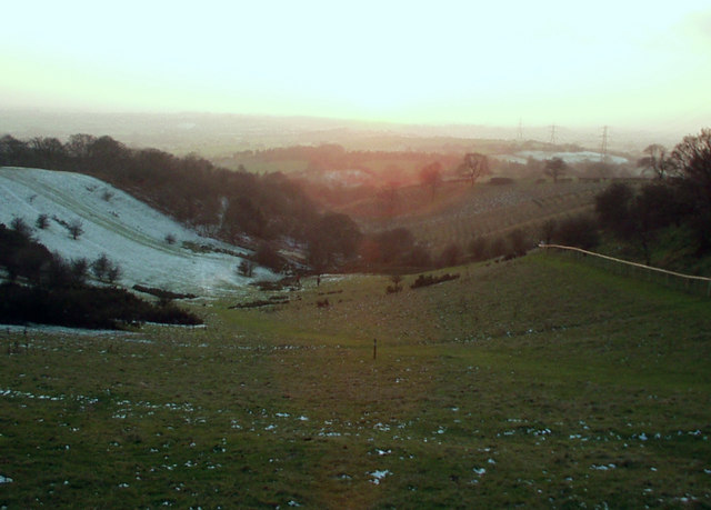
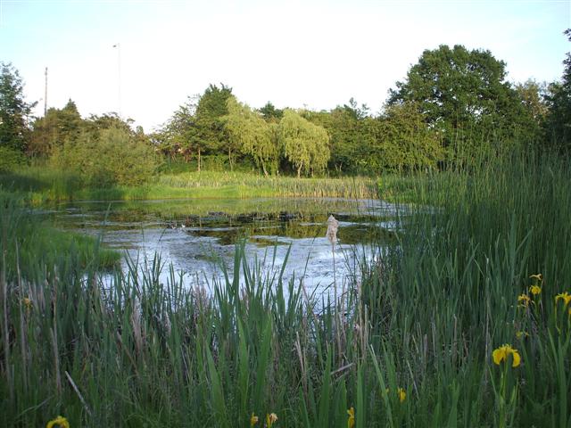
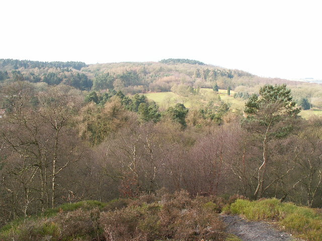
Spring Pools is a picturesque freshwater marsh located in Worcestershire, England. It is comprised of a series of interconnected pools, lakes, and ponds that are fed by natural springs, giving the area its name. Spanning over a vast expanse of approximately 100 acres, Spring Pools is a haven for various species of aquatic plants and animals.
The pools and lakes within Spring Pools are characterized by their crystal-clear, emerald-green waters, which are a result of the constant filtration by the spring water. The depth of the pools varies, with some reaching depths of up to 15 feet, providing ample space for a diverse range of aquatic life.
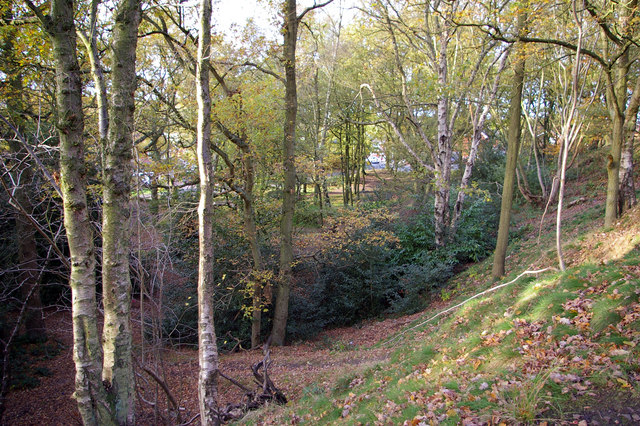
The marshland surrounding the pools is rich in biodiversity, boasting an array of plant species such as reeds, rushes, and water lilies. These plants provide important habitats for numerous bird species, including ducks, geese, and herons, who can often be seen gracefully gliding across the water's surface.
Spring Pools also serves as a valuable breeding ground for amphibians, with several species of frogs and toads making their homes in the marshland. The pools provide ideal conditions for these creatures to lay their eggs and complete their life cycles.
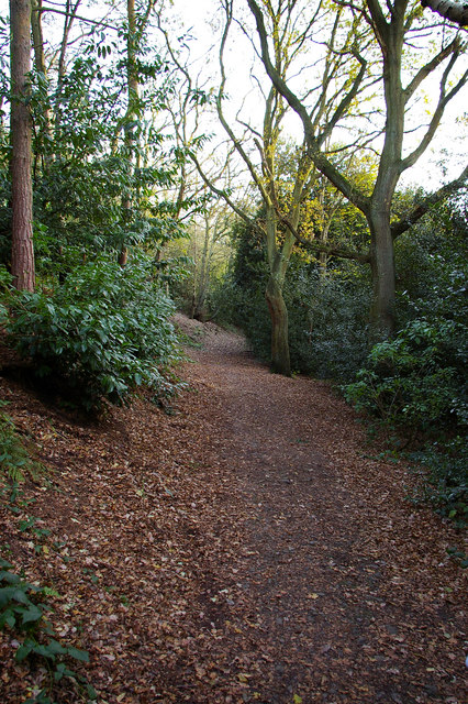
The area surrounding Spring Pools is well-maintained, with designated footpaths and viewing platforms for visitors to enjoy the natural beauty of the marsh. It is a popular spot for birdwatching and nature enthusiasts, who can appreciate the tranquil atmosphere and observe the diverse wildlife that thrives in the pools and their surrounding habitats.
Overall, Spring Pools in Worcestershire is a stunning example of a freshwater marsh ecosystem, offering a glimpse into the interconnectedness of nature and the importance of preserving these fragile environments.
If you have any feedback on the listing, please let us know in the comments section below.
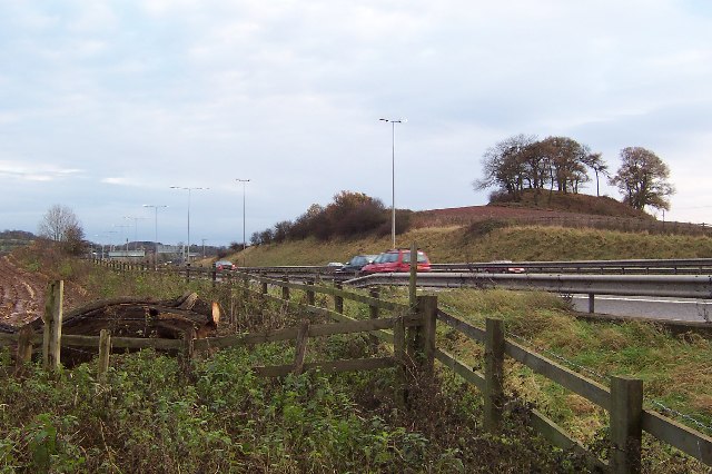
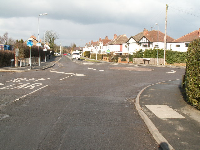
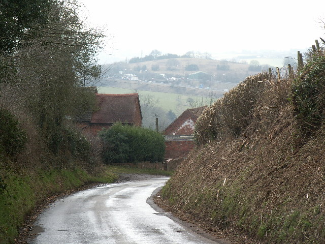
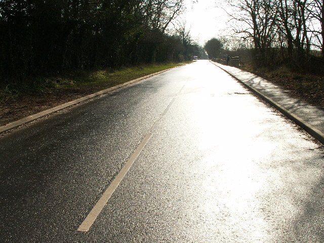
Spring Pools Images
Images are sourced within 2km of 52.383161/-2.0373906 or Grid Reference SO9776. Thanks to Geograph Open Source API. All images are credited.


Spring Pools is located at Grid Ref: SO9776 (Lat: 52.383161, Lng: -2.0373906)
Administrative County: Worcestershire
District: Bromsgrove
Police Authority: West Mercia
What 3 Words
///ears.deflection.sector. Near Barnt Green, Worcestershire
Nearby Locations
Related Wikis

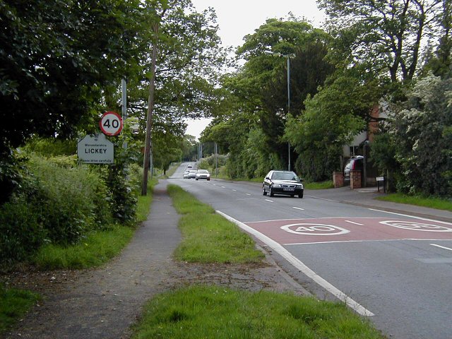
Lydiate Ash
Lydiate Ash is a hamlet in North Worcestershire, England, consisting of a few houses, the road gritting and works depot for Worcestershire County Council...
Waseley Hills High School and Sixth Form Centre
Waseley Hills High School and Sixth Form Centre is a mixed secondary school and sixth form with academy status in the town of Rubery, on the border of...

Rubery
Rubery is a village in the Bromsgrove District and a suburb of Birmingham in the counties of Worcestershire and West Midlands, England. It is 9 miles...
St Chad's Church, Rubery
St Chad’s Church, Rubery is a Church of England parish church in Rubery, Worcestershire. == History == The church evolved in 1895 as a mission church from...
Lickey Grange
Lickey Grange is a Victorian house and estate in the village of Lickey, Bromsgrove District, Worcestershire, near Birmingham, England, where the automobile...
Lickey Hills Country Park
Lickey Hills Country Park is a country park in England. It is 10 miles (16 kilometres) south west of Birmingham and 24 miles (39 kilometres) north east...

Lickey Hills
The Lickey Hills (known locally as simply The Lickeys) are a range of hills in Worcestershire, England, 11 miles (18 km) to the south-west of the centre...
Bilberry Hill
Bilberry Hill is one of the Lickey Hills in northern Worcestershire, England, 10.3 miles (16.6 kilometres) south west of Birmingham and 24 miles (39 kilometres...
Nearby Amenities
Located within 500m of 52.383161,-2.0373906Have you been to Spring Pools?
Leave your review of Spring Pools below (or comments, questions and feedback).