Backhill of Clackriach

Settlement in Aberdeenshire

Scotland

Backhill of Clackriach

Formartine and Buchan  Way, Den of Old Maud The railway trackbed, now a well surfaced path (well this bit is, I have heard tales that it is not so great past Maud), runs beside a damp valley bottom.
Formartine and Buchan Way, Den of Old Maud Credit: Richard Webb

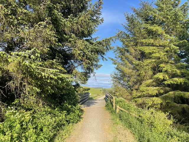
Backhill of Clackriach is a small rural area located in Aberdeenshire, Scotland. It is situated in the northeast of the country, around 20 miles west of Aberdeen. The area is characterized by its picturesque countryside, rolling hills, and tranquil atmosphere.

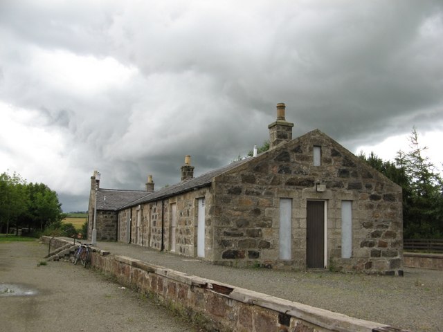
The landscape of Backhill of Clackriach is predominantly agricultural, with vast fields and farmlands surrounding the area. The fertile soil and favorable climate make it ideal for farming activities, particularly livestock rearing and crop cultivation. As a result, the area is dotted with farms and country estates.

The community of Backhill of Clackriach is small and close-knit, consisting mainly of local residents and farmers. The residents often engage in community activities and events, fostering a strong sense of camaraderie and neighborliness.

The nearby River Dee adds to the natural beauty of the area, providing opportunities for fishing and outdoor recreational activities. The surrounding hills and countryside also offer excellent opportunities for hiking, cycling, and exploring nature.

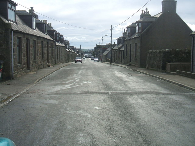
Despite its rural setting, Backhill of Clackriach benefits from its proximity to nearby towns and amenities. The city of Aberdeen is a short drive away, offering a range of services, including schools, hospitals, and shopping centers.

Overall, Backhill of Clackriach is a charming and idyllic rural area, perfect for those seeking a peaceful and scenic lifestyle amidst the beauty of the Scottish countryside.

If you have any feedback on the listing, please let us know in the comments section below.

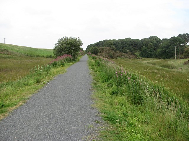
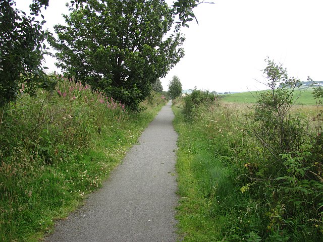
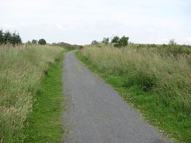
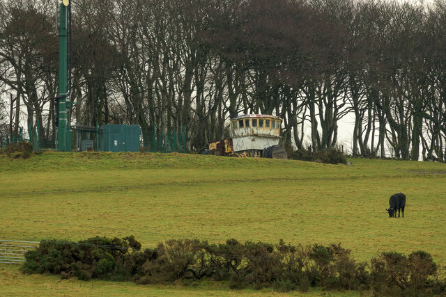
Backhill of Clackriach Images

Images are sourced within 2km of 57.513977/-2.12654 or Grid Reference NJ9247. Thanks to Geograph Open Source API. All images are credited.

Formartine and Buchan  Way, Den of Old Maud The railway trackbed, now a well surfaced path (well this bit is, I have heard tales that it is not so great past Maud), runs beside a damp valley bottom.
Formartine and Buchan Way, Den of Old Maud
The railway trackbed, now a well surfaced path (well this bit is, I have heard tales that it is not so great past Maud), runs beside a damp valley bottom.
Formartine and Buchan  Way The former railway approaches Maud where the path divides for Peterhead or Fraserburgh. The surface is good here.
Formartine and Buchan Way
The former railway approaches Maud where the path divides for Peterhead or Fraserburgh. The surface is good here.
Formartine and Buchan  Way The trackbed path approaches Maud Station where the path divides for either Fraserburgh or Peterhead.
Formartine and Buchan Way
The trackbed path approaches Maud Station where the path divides for either Fraserburgh or Peterhead.
Castle Road, Maud Three years on from: <a href="https://www.geograph.org.uk/photo/833501">NJ9248 : Castle Road, Maud</a>
Castle Road, Maud
Three years on from: NJ9248 : Castle Road, Maud
Field, Affleck Some effort was required here to clear the field of stones. There are several big clearance cairns.
Field, Affleck
Some effort was required here to clear the field of stones. There are several big clearance cairns.
Formartine and Buchan Way A cutting on the old railway to / from Peterhead and Fraserburgh. 

The former railway from Dyce to Maud and on to either Peterhead or Fraserburgh is now a footpath/cycle path. It has not been converted to a road and gives a more interesting but still easy alternative to the usual Sustrans conversions. It is also nearly 90km long.
Formartine and Buchan Way
A cutting on the old railway to / from Peterhead and Fraserburgh. The former railway from Dyce to Maud and on to either Peterhead or Fraserburgh is now a footpath/cycle path. It has not been converted to a road and gives a more interesting but still easy alternative to the usual Sustrans conversions. It is also nearly 90km long.
Maud Post Office
Maud Post Office
Millennium milepost, Maud
Station Hotel, Maud The porch with a granite horseshoe. Very 19th century Aberdeenshire.
Station Hotel, Maud
The porch with a granite horseshoe. Very 19th century Aberdeenshire.
Wheelhouse on a hill This is the bridge of a fishing boat that was saved from the scrapyard and is now a summerhouse on top of Bank Hill.
Wheelhouse on a hill
This is the bridge of a fishing boat that was saved from the scrapyard and is now a summerhouse on top of Bank Hill.
Snowy fields of Maud
The Formartine and Buchan Way The Formartine and Buchan Way is a long-distance trail in Scotland, extending from Dyce north to Peterhead and Fraserburgh in the Buchan and Formartine districts of Aberdeenshire in Scotland. It follows the track of a former railway line, the Formartine and Buchan Railway, and is open to walkers, cyclists and horse riders.The railway closed in 1979 (Fraserburgh) and 1970 (Maud-Peterhead). The walkway opened in the early 1990s, and is managed by Aberdeenshire Council. It is listed as one of Scotland's Great Trails by NatureScot
64 km (40 mi) to Fraserburgh, plus 21 km (13 mi) spur to Peterhead.
The Formartine and Buchan Way
The Formartine and Buchan Way is a long-distance trail in Scotland, extending from Dyce north to Peterhead and Fraserburgh in the Buchan and Formartine districts of Aberdeenshire in Scotland. It follows the track of a former railway line, the Formartine and Buchan Railway, and is open to walkers, cyclists and horse riders.The railway closed in 1979 (Fraserburgh) and 1970 (Maud-Peterhead). The walkway opened in the early 1990s, and is managed by Aberdeenshire Council. It is listed as one of Scotland's Great Trails by NatureScot 64 km (40 mi) to Fraserburgh, plus 21 km (13 mi) spur to Peterhead.
The Formartine and Buchan Way
Maud's Windmill walk A 6km walk in farmland round the Village of Maud
Maud's Windmill walk
A 6km walk in farmland round the Village of Maud
Windmill Picnic Geocaching is a type of global treasure hunt of people looking for caches, or hidden stashes of objects. Geocaching may also be described as a series of hide-and-seek games, where hiders provide online clues for seekers. Seekers use global positioning system (GPS) devices to find hidden caches
Windmill Picnic
Geocaching is a type of global treasure hunt of people looking for caches, or hidden stashes of objects. Geocaching may also be described as a series of hide-and-seek games, where hiders provide online clues for seekers. Seekers use global positioning system (GPS) devices to find hidden caches
Which way ?
Which way ?
Show me another place!

Backhill of Clackriach is located at Grid Ref: NJ9247 (Lat: 57.513977, Lng: -2.12654)

Unitary Authority: Aberdeenshire

Police Authority: North East

What 3 Words

///tape.yacht.newest. Near Mintlaw, Aberdeenshire

Related Wikis

Maud Hospital

Maud Hospital was a small hospital providing psychogeriatric services in Maud, Aberdeenshire. It was managed by NHS Grampian. == History == The hospital...

Clackriach Castle

Clackriach Castle was a 16th-century tower house, about 11 miles (18 km) north of Ellon, Aberdeenshire, Scotland, and 1 mile (1.6 km) south-east of Maud...

Maud Junction railway station

Maud Junction railway station was a railway station in Maud, Aberdeenshire, Scotland, now housing the Maud Railway Museum. It was a junction where the...

Maud, Aberdeenshire

Maud (Scottish Gaelic: Am Mòd) is a village in the Buchan area of the Scottish county of Aberdeenshire, with a population of 780 (2006 estimate). Located...

Maud F.C.

Maud Football Club are a Scottish football club from the village of Maud, Aberdeenshire. Members of the Scottish Junior Football Association, they currently...

Brucklay Castle

Brucklay Castle, also known as Brucklay House, is a 16th-century castle in the Buchan area of Aberdeenshire, Scotland. The earliest part of the castle...

Brucklay railway station

Brucklay railway station was a former railway station in Brucklay, Aberdeenshire. == History == The station was opened on 24 April 1865 by the Formartine...

New Deer

New Deer (Scottish Gaelic: Achadh Reite) is a settlement in Aberdeenshire, North East Scotland, which lies in the valley of Deer. It is located at the...

Nearby Amenities

Located within 500m of 57.513977,-2.12654
Power: pole
Lat/Long: 57.5173817/-2.1266437
Power: pole
Lat/Long: 57.5170979/-2.1278631
Power: pole
Lat/Long: 57.5168078/-2.1289623
Power: pole
Lat/Long: 57.5165724/-2.1298645
Power: pole
Lat/Long: 57.5163677/-2.1306862
Power: pole
Lat/Long: 57.5157955/-2.131167
Power: pole
Lat/Long: 57.5152279/-2.1316605
Power: pole
Lat/Long: 57.5146091/-2.1322048
Power: pole
Lat/Long: 57.5140165/-2.1327237
Power: pole
Lat/Long: 57.5136229/-2.1329799
Power: pole
Lat/Long: 57.513202/-2.1332595
Power: pole
Lat/Long: 57.5127413/-2.1335623
Power: pole
Lat/Long: 57.5123205/-2.1338588
Power: pole
Lat/Long: 57.5096721/-2.1282719
Power: pole
Lat/Long: 57.5099952/-2.1272256
Power: pole
Lat/Long: 57.5102955/-2.1262196
Power: pole
Lat/Long: 57.5106846/-2.1256118
Power: pole
Lat/Long: 57.5110327/-2.1251882
Power: pole
Lat/Long: 57.5114104/-2.1247202
Power: pole
Lat/Long: 57.5117926/-2.124233
Power: pole
Lat/Long: 57.5121862/-2.1237332
Power: pole
Lat/Long: 57.512581/-2.123227
Power: pole
Lat/Long: 57.5129222/-2.1227886
Power: pole
Lat/Long: 57.5173955/-2.1267722
Power: pole
Lat/Long: 57.5173594/-2.1270935
Power: pole
Lat/Long: 57.5172514/-2.1278864
Power: pole
Lat/Long: 57.5171002/-2.1289072
Power: pole
Lat/Long: 57.516892/-2.1302966
Power: pole
Lat/Long: 57.5169512/-2.1312178
Power: pole
Lat/Long: 57.5170057/-2.1321328
Power: pole
Lat/Long: 57.5176091/-2.1261561
Power: pole
Lat/Long: 57.517839/-2.1245037
Power: pole
Lat/Long: 57.5177183/-2.1262133
Power: pole
Lat/Long: 57.5178938/-2.125018
Power: pole
Lat/Long: 57.5181116/-2.1236701
Power: pole
Lat/Long: 57.5179019/-2.1255425
Power: pole
Lat/Long: 57.5183888/-2.1249552
Power: pole
Lat/Long: 57.5123534/-2.1191893
Power: pole
Lat/Long: 57.5129723/-2.1195917
Power: pole
Lat/Long: 57.5136047/-2.1199644
Power: pole
Lat/Long: 57.5143703/-2.1199369
Power: pole
Lat/Long: 57.5151244/-2.1199369
Power: pole
Lat/Long: 57.5158729/-2.1198797
Power: pole
Lat/Long: 57.5165678/-2.1201741
Power: pole
Lat/Long: 57.5167134/-2.1213029
Power: pole
Lat/Long: 57.516859/-2.1224254
Power: pole
Lat/Long: 57.517008/-2.1235394
Power: pole
Lat/Long: 57.5171388/-2.1245412
Power: pole
Lat/Long: 57.517289/-2.1256637
The data included in this document is from www.openstreetmap.org. The data is made available under ODbL.

Have you been to Backhill of Clackriach?

Leave your review of Backhill of Clackriach below (or comments, questions and feedback).