Backhill of Fortrie
Settlement in Aberdeenshire
Scotland
Backhill of Fortrie

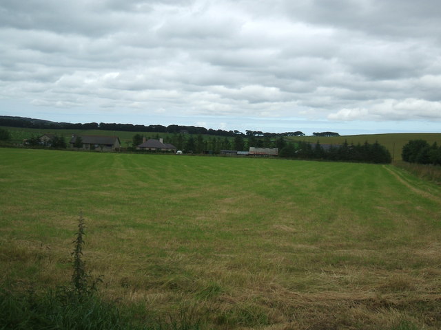
Backhill of Fortrie is a small rural settlement located in Aberdeenshire, Scotland. Situated approximately 5 miles southeast of the town of Turriff, it is nestled amidst picturesque rolling countryside. The area is known for its natural beauty and tranquility, making it an ideal destination for those seeking a peaceful retreat.
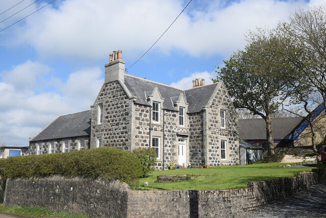
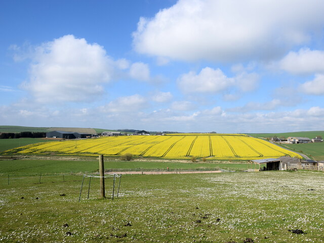
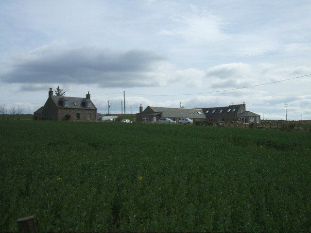
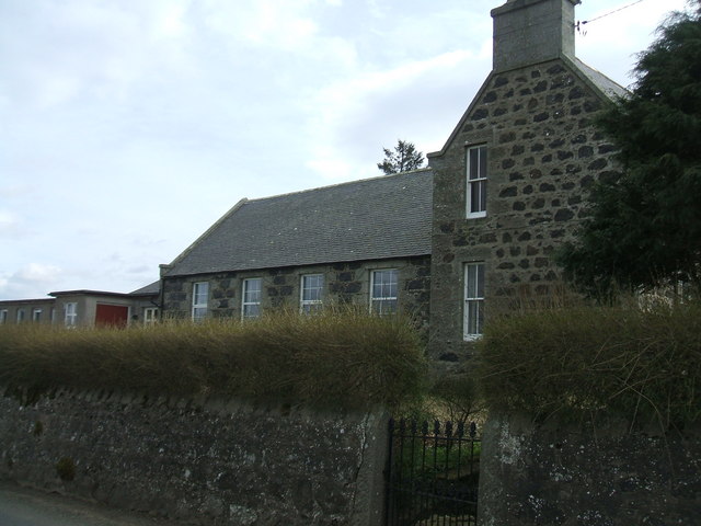
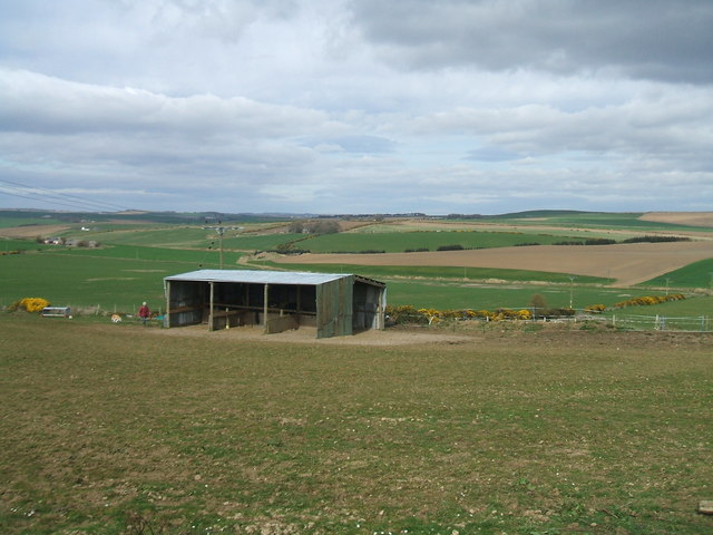
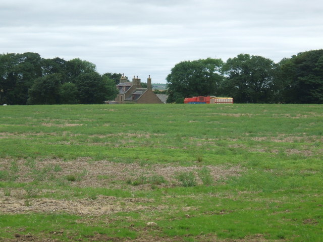
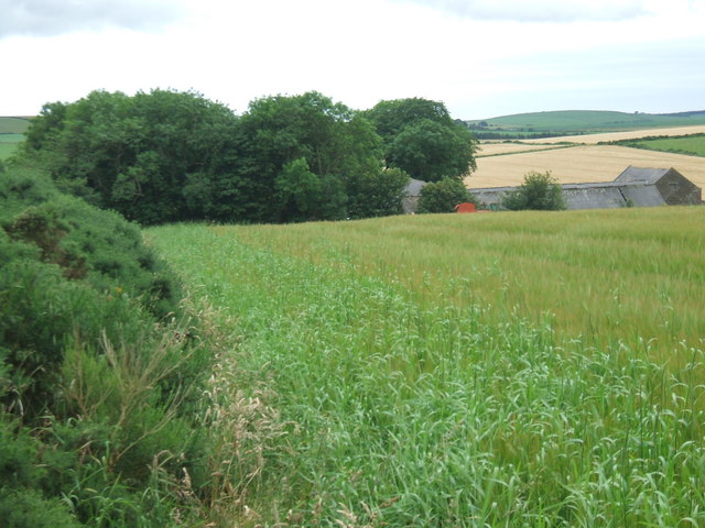
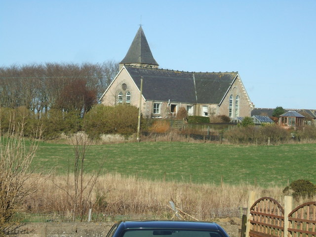
Backhill of Fortrie consists of a cluster of traditional stone-built houses, many of which date back several centuries. These properties add to the charm and character of the village, providing a glimpse into its rich history. The surrounding landscape is predominantly agricultural, with lush fields and farmland stretching as far as the eye can see.
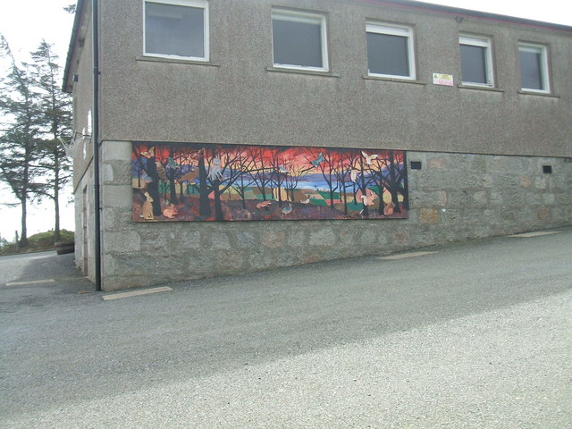
The community of Backhill of Fortrie is small but tight-knit, with a population of around 100 residents. The village prides itself on its strong sense of community spirit, and local events and gatherings are common. The residents are friendly and welcoming, always ready to lend a helping hand to their neighbors.
Despite its rural setting, Backhill of Fortrie benefits from good transport links, with the A947 road passing nearby. This allows for easy access to nearby towns and cities, including Aberdeen, which is approximately 30 miles to the southeast.
In summary, Backhill of Fortrie is a charming and peaceful rural village in Aberdeenshire. With its beautiful countryside, historic buildings, and strong sense of community, it offers a truly idyllic place to live or visit.
If you have any feedback on the listing, please let us know in the comments section below.
Backhill of Fortrie Images
Images are sourced within 2km of 57.450288/-2.0683022 or Grid Reference NJ9640. Thanks to Geograph Open Source API. All images are credited.


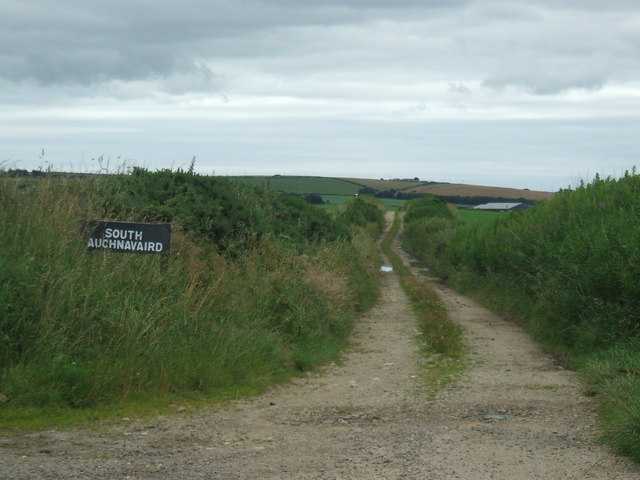
Backhill of Fortrie is located at Grid Ref: NJ9640 (Lat: 57.450288, Lng: -2.0683022)
Unitary Authority: Aberdeenshire
Police Authority: North East
What 3 Words
///disarmed.sprains.reckoned. Near Mintlaw, Aberdeenshire
Nearby Locations
Related Wikis

Formartine and Buchan Way
The Formartine and Buchan Way is a long-distance trail in Scotland, extending from Dyce north to Peterhead and Fraserburgh in the Buchan and Formartine...

Skelmuir Hill
Skelmuir Hill is a landform in Aberdeenshire, Scotland. This is the location of a trig point or official government survey marker. Skelmuir Hill is the...

Auchnagatt
Auchnagatt (Scottish Gaelic: Achadh nan Cat) is a village and rural area in Buchan, Aberdeenshire, Scotland, situated on the Ebrie Burn and on the A948...

Auchnagatt railway station
Auchnagatt railway station was a railway station in Auchnagatt, Aberdeenshire. Before its closure, services ran to Fraserburgh, Peterhead and Aberdeen...
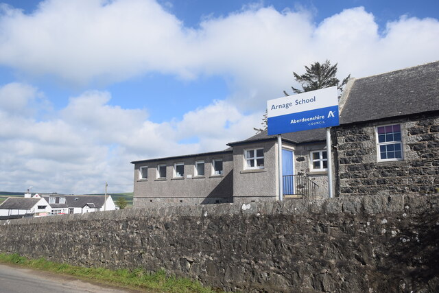
Arnage Castle
Arnage Castle is a country house, incorporating a Z-plan tower house, located around 4 miles (6.4 km) north of Ellon, in Aberdeenshire, north-east Scotland...

Arnage railway station
Arnage railway station was a railway station in Arnage, Aberdeenshire. == History == The station was opened on 18 July 1861 by the Formartine and Buchan...
Clola
Clola is a hamlet in Buchan, Aberdeenshire, Scotland. Clola is situated on the A952 road. There is considerable evidence of local habitation by early man...
Kinmuck Castle
Kinmuck Castle was a 14th-century castle, about 4.0 miles (6.4 km) north-east of Ellon, Aberdeenshire, Scotland, at, or close to, Mains of Kinmuck. Alternative...
Nearby Amenities
Located within 500m of 57.450288,-2.0683022Have you been to Backhill of Fortrie?
Leave your review of Backhill of Fortrie below (or comments, questions and feedback).