Backhill

Settlement in Aberdeenshire

Scotland

Backhill

Bales near Lethenty Looking south-westwards over a field of scattered bales near Lethenty, with Bennachie on the horizon.
Bales near Lethenty Credit: Scott Cormie

Backhill is a small village located in Aberdeenshire, Scotland. Situated in the picturesque countryside, it is known for its tranquil and idyllic setting. The village is nestled amidst rolling hills and vast green fields, offering breathtaking views of the surrounding landscape.

With a population of approximately 200 residents, Backhill exudes a close-knit community atmosphere. The village is characterized by its charming traditional stone houses, which add to its rustic appeal. The locals take great pride in maintaining their homes and gardens, resulting in a visually pleasing environment.

Although Backhill is a small village, it boasts a range of amenities to cater to the needs of its residents. There is a local primary school, providing education for the village's children. Additionally, a community center serves as a hub for social gatherings and events, fostering a sense of camaraderie among the villagers.

Nature enthusiasts will find plenty to explore in Backhill. The village is surrounded by ample walking trails and scenic routes, offering opportunities for outdoor activities such as hiking and cycling. The nearby countryside also provides a haven for birdwatchers and wildlife enthusiasts.

While Backhill may not have extensive commercial facilities, the village is conveniently located within a short distance of larger towns and cities. This allows residents to access a wider range of amenities, including shopping centers, healthcare facilities, and employment opportunities.

In conclusion, Backhill, Aberdeenshire is a charming village with a strong sense of community. Its picturesque setting, range of amenities, and proximity to larger towns make it an appealing place to live for those seeking a peaceful and close-knit community.

If you have any feedback on the listing, please let us know in the comments section below.
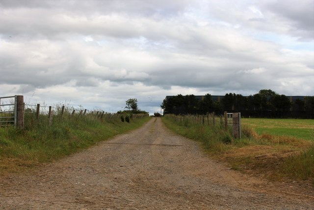
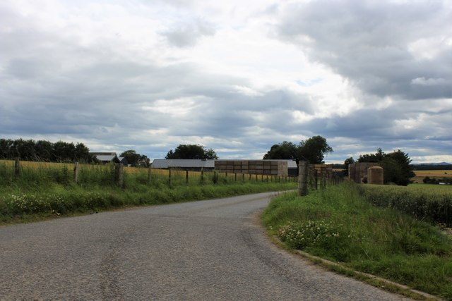
Backhill Images

Images are sourced within 2km of 57.449127/-2.348279 or Grid Reference NJ7939. Thanks to Geograph Open Source API. All images are credited.

Bales near Lethenty Looking south-westwards over a field of scattered bales near Lethenty, with Bennachie on the horizon.
Bales near Lethenty
Looking south-westwards over a field of scattered bales near Lethenty, with Bennachie on the horizon.
Chalmers' of Monkshill Memorial Roadside memorial to Charles Chalmers of Monkshill.
Chalmers' of Monkshill Memorial
Roadside memorial to Charles Chalmers of Monkshill.
Field north of Monkshill Looking south-west over a field to the north of Monkshill, with the Aberdeenshire countryside beyond.
Field north of Monkshill
Looking south-west over a field to the north of Monkshill, with the Aberdeenshire countryside beyond.
Burnside of Gourdas Looking east from the roadside to a house at Burnside of Gourdas.
Burnside of Gourdas
Looking east from the roadside to a house at Burnside of Gourdas.
Fields east of Tifty Looking south over fields to the east of Tifty.
Fields east of Tifty
Looking south over fields to the east of Tifty.
C26S (Aberdeenshire) Road The C26S road heading south down the Hill of Tifty.
C26S (Aberdeenshire) Road
The C26S road heading south down the Hill of Tifty.
Parkburn Belt A fine strip wood above Fyvie.
Parkburn Belt
A fine strip wood above Fyvie.
Moss of Windyhill The moss at Windyhill by Gight.
Moss of Windyhill
The moss at Windyhill by Gight.
Approaching Lethenty The sign points right to Lethenty Farm, which is in <a href="https://www.geograph.org.uk/gridref/NJ8041">NJ8041</a>.
Approaching Lethenty
The sign points right to Lethenty Farm, which is in NJ8041.
The lane through Lethenty The sign is at the entrance to 'Highfields, Lethenty' which is marked but not named on the maps.
The lane through Lethenty
The sign is at the entrance to 'Highfields, Lethenty' which is marked but not named on the maps.
Farmland north of Monkshill
The lane over Monks' Hill
Tillyfar Farm Road The access road to Tillyfar.
Tillyfar Farm Road
The access road to Tillyfar.
Darnabo Farm The large farm of Darnabo with its access road.
Darnabo Farm
The large farm of Darnabo with its access road.
Road Ahead by Darnabo Farmland on either side of this minor road by Darnabo.
Road Ahead by Darnabo
Farmland on either side of this minor road by Darnabo.
Wheat by Lethenty A wheat field by Lethenty with a wide view to Bennachie.
Wheat by Lethenty
A wheat field by Lethenty with a wide view to Bennachie.
Hay by Sunnyside A tractor hay turning by roofless Sunnyside.
Hay by Sunnyside
A tractor hay turning by roofless Sunnyside.
Back to Lethenty The winding road by Lethenty Croft.
Back to Lethenty
The winding road by Lethenty Croft.
Show me another place!

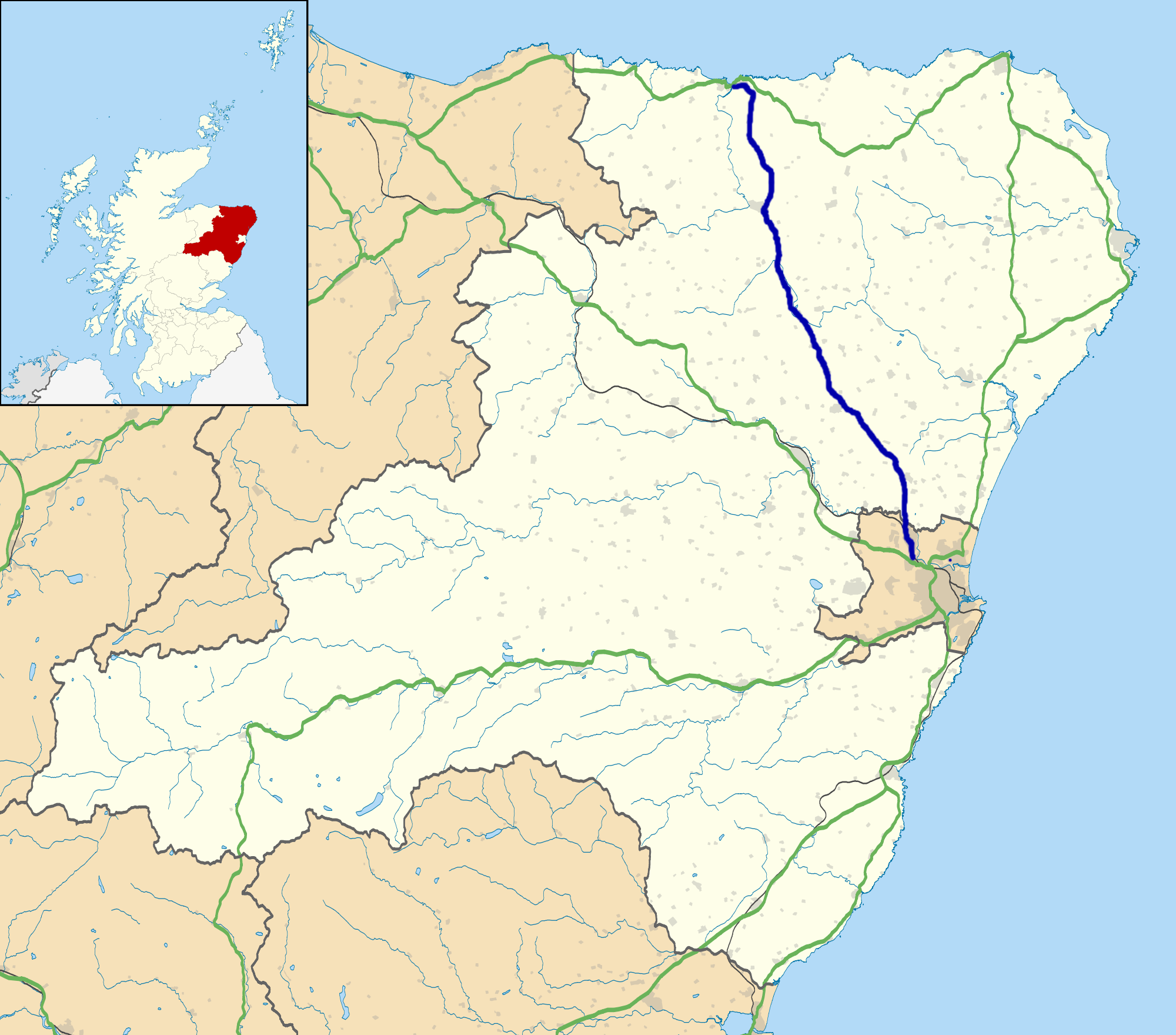
Backhill is located at Grid Ref: NJ7939 (Lat: 57.449127, Lng: -2.348279)

Unitary Authority: Aberdeenshire

Police Authority: North East

What 3 Words

///port.increases.this. Near Rothienorman, Aberdeenshire

Nearby Locations

Windy Hills Backhill

Related Wikis

Backhill

Backhill is a rural area near Woodhead of Fyvie in Aberdeenshire, Scotland. == References ==

Woodhead, Aberdeenshire

Woodhead of Fyvie, often simply called "Woodhead", is an inland hamlet in Formartine, Aberdeenshire, Scotland, that lies to the east of Fyvie near the...

Tifty, Aberdeenshire

Tifty is near Turriff, Aberdeenshire, Scotland. == References ==

Fyvie Castle

Fyvie Castle is a castle in the village of Fyvie, near Turriff in Aberdeenshire, Scotland. == History == The earliest parts of Fyvie Castle date from the...

Fyvie

Fyvie is a village in the Formartine area of Aberdeenshire, Scotland. == Geography == Fyvie lies alongside the River Ythan and is on the A947 road. �...

Fyvie railway station

Fyvie railway station was a railway station near Fyvie, Aberdeenshire. It served the rural area and Fyvie Castle, but lay about 1 mile (1.6 km) from the...

Gight

Gight is the name of an estate in the parish of Fyvie in the Formartine area of Aberdeenshire, Scotland, United Kingdom. It is best known as the location...

A947 road

The A947 is a single-carriageway road in Scotland that links Aberdeen to Banff via several towns in Aberdeenshire, including Newmachar, Oldmeldrum, Fyvie...

Nearby Amenities

Located within 500m of 57.449127,-2.348279
Power: pole
Lat/Long: 57.4498391/-2.3488067
Power: pole
Lat/Long: 57.4493938/-2.3485823
Power: pole
Lat/Long: 57.449174/-2.34785
Power: pole
Lat/Long: 57.4491283/-2.347618
Power: pole
Lat/Long: 57.4489941/-2.3466711
Power: pole
Lat/Long: 57.4488927/-2.3457586
Power: pole
Lat/Long: 57.4487662/-2.3448823
Power: pole
Lat/Long: 57.4482674/-2.3506229
Power: pole
Lat/Long: 57.44851/-2.3498397
Power: pole
Lat/Long: 57.4487457/-2.3490734
Power: pole
Lat/Long: 57.4489496/-2.3484088
Power: pole
Lat/Long: 57.4494048/-2.3463925
Power: pole
Lat/Long: 57.4496862/-2.3451434
Power: pole
Lat/Long: 57.4499467/-2.3440081
Power: pole
Lat/Long: 57.4501962/-2.3428944
Power: pole
Lat/Long: 57.4504951/-2.3416817
Power: pole
Lat/Long: 57.450757/-2.3405302
Power: pole
Lat/Long: 57.4530017/-2.347579
Power: pole
Lat/Long: 57.453037/-2.3465143
Power: pole
Lat/Long: 57.4530802/-2.3452972
Power: pole
Lat/Long: 57.4513401/-2.3410086
The data included in this document is from www.openstreetmap.org. The data is made available under ODbL.

Have you been to Backhill?

Leave your review of Backhill below (or comments, questions and feedback).