Bank Hill
Hill, Mountain in Aberdeenshire
Scotland
Bank Hill
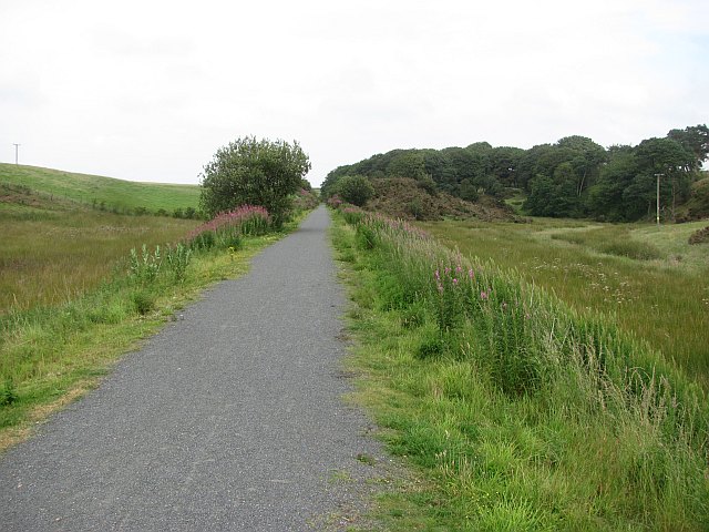
Bank Hill is a prominent hill located in Aberdeenshire, Scotland. Rising to a height of approximately 438 meters (1,437 feet), it is classified as a hill rather than a mountain. Situated in the eastern part of Aberdeenshire, Bank Hill offers breathtaking views of the surrounding countryside and is a popular destination for hikers and nature enthusiasts.
The hill is characterized by its gently sloping sides and a distinctive summit, which provides panoramic vistas of the neighboring landscape. Its location in the heart of Aberdeenshire makes it easily accessible, and it is a frequented attraction for both locals and tourists alike.
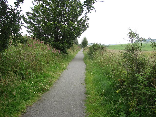
Bank Hill is known for its diverse flora and fauna, with a variety of plant species adorning its slopes, including heather, grasses, and wildflowers. The hill is also home to numerous bird species, making it an excellent spot for birdwatching and wildlife observation.
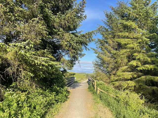
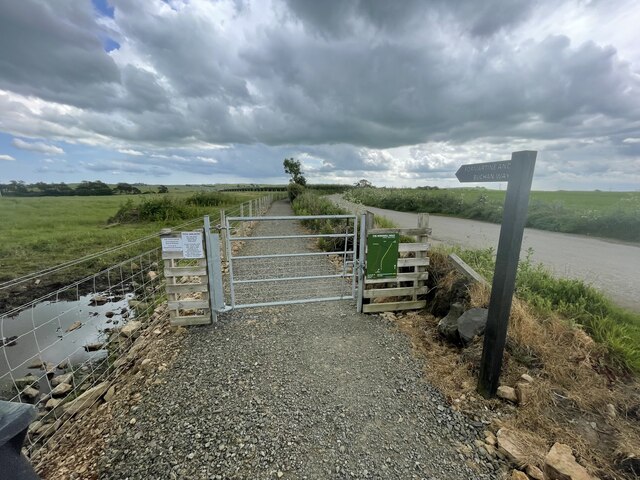
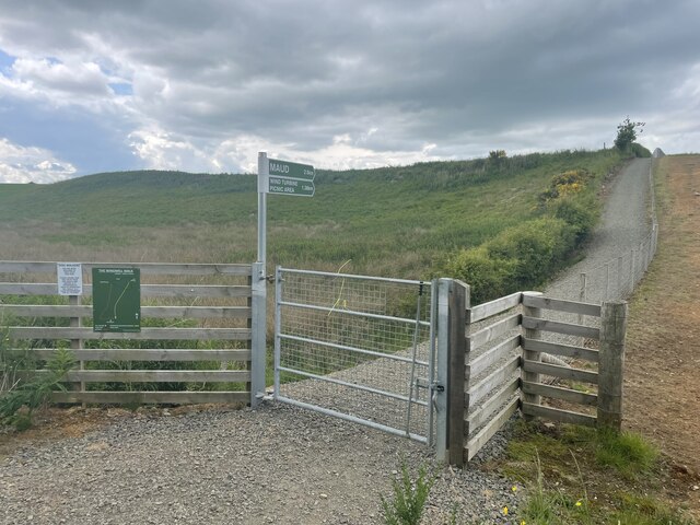
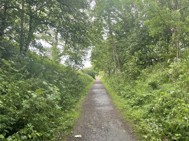
Due to its moderate elevation, Bank Hill is a suitable destination for hikers of all skill levels. There are several well-marked trails that lead to the summit, offering a range of difficulty levels and distances. These paths traverse through picturesque woodlands and open moorland, enhancing the overall hiking experience.
In addition to its natural beauty, Bank Hill is also of historical significance. It is believed to have been a site of human activity since ancient times, with archaeological remains suggesting human habitation in the area during the Neolithic period.
Overall, Bank Hill in Aberdeenshire offers a captivating blend of natural beauty, outdoor recreation, and historical value, making it a must-visit destination for those exploring the region.
If you have any feedback on the listing, please let us know in the comments section below.
Bank Hill Images
Images are sourced within 2km of 57.518418/-2.1197968 or Grid Reference NJ9247. Thanks to Geograph Open Source API. All images are credited.


Bank Hill is located at Grid Ref: NJ9247 (Lat: 57.518418, Lng: -2.1197968)
Unitary Authority: Aberdeenshire
Police Authority: North East
What 3 Words
///removal.deflated.pops. Near Mintlaw, Aberdeenshire
Nearby Locations
Related Wikis

Maud Hospital
Maud Hospital was a small hospital providing psychogeriatric services in Maud, Aberdeenshire. It was managed by NHS Grampian. == History == The hospital...
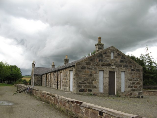
Maud Junction railway station
Maud Junction railway station was a railway station in Maud, Aberdeenshire, Scotland, now housing the Maud Railway Museum. It was a junction where the...

Maud, Aberdeenshire
Maud (Scottish Gaelic: Am Mòd) is a village in the Buchan area of the Scottish county of Aberdeenshire, with a population of 780 (2006 estimate). Located...

Clackriach Castle
Clackriach Castle was a 16th-century tower house, about 11 miles (18 km) north of Ellon, Aberdeenshire, Scotland, and 1 mile (1.6 km) south-east of Maud...
Maud F.C.
Maud Football Club are a Scottish football club from the village of Maud, Aberdeenshire. Members of the Scottish Junior Football Association, they currently...

Brucklay railway station
Brucklay railway station was a former railway station in Brucklay, Aberdeenshire. == History == The station was opened on 24 April 1865 by the Formartine...
Brucklay Castle
Brucklay Castle, also known as Brucklay House, is a 16th-century castle in the Buchan area of Aberdeenshire, Scotland. The earliest part of the castle...
Abbey of Deer Platform railway station
Abbey of Deer Platform was a small railway station on the branch line from Maud to Peterhead in the Scottish county of Aberdeenshire. == History == The...
Nearby Amenities
Located within 500m of 57.518418,-2.1197968Have you been to Bank Hill?
Leave your review of Bank Hill below (or comments, questions and feedback).