Barge Ford
Lake, Pool, Pond, Freshwater Marsh in Yorkshire Ribble Valley
England
Barge Ford

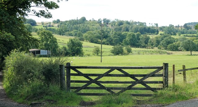
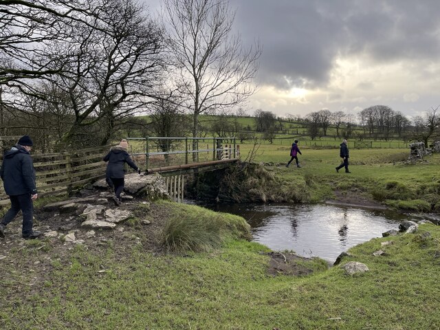
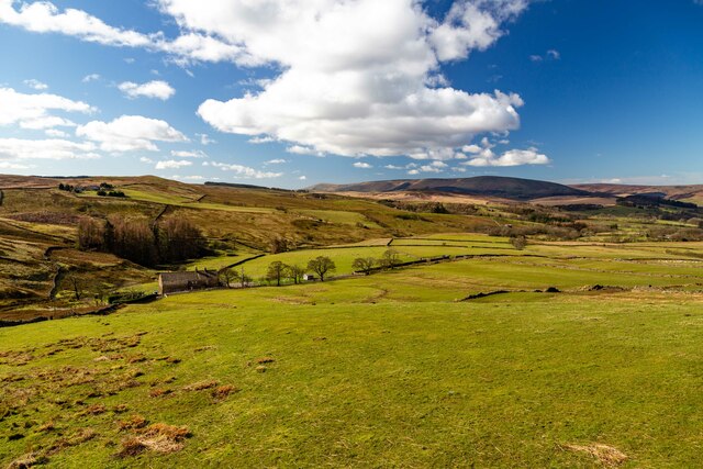
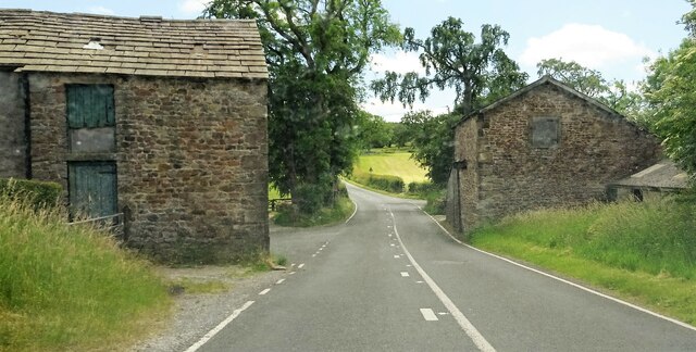
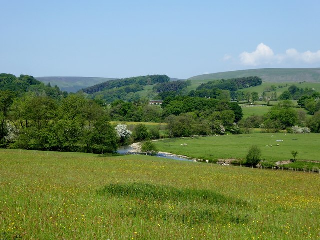
Barge Ford is a picturesque freshwater ecosystem located in Yorkshire, England. Situated amidst rolling hills and lush greenery, this site encompasses a lake, pool, pond, and a freshwater marsh, making it a haven for diverse flora and fauna.
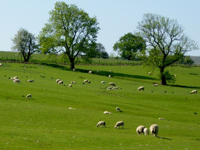
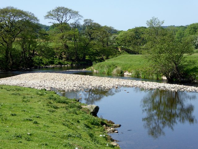
The centerpiece of Barge Ford is the lake, which is a sizable body of water characterized by its calm, reflective surface. The lake is home to various species of fish, including trout and perch, attracting anglers from far and wide. Its tranquil ambiance also lures in visitors who seek relaxation and enjoy the stunning views.
Adjacent to the lake, there is a smaller pool that serves as a natural habitat for waterfowl, such as ducks and swans. This area is often teeming with birdlife, making it a favorite spot for birdwatchers. The pool is surrounded by reeds and water lilies, adding to the beauty and serenity of the place.
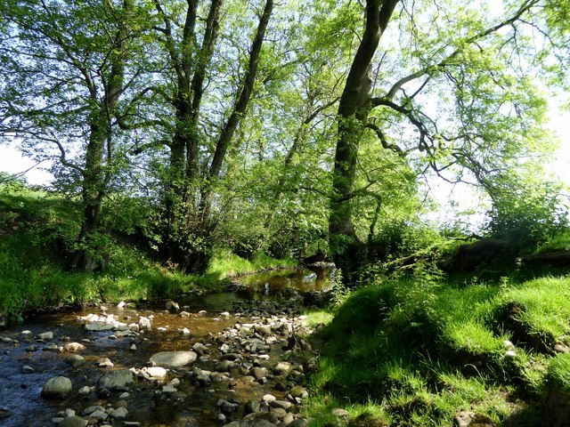
Further into the ecosystem, one can find a pond tucked away amidst the vegetation. The pond is a breeding ground for amphibians like frogs and newts, contributing to the biodiversity of the area. Its calm waters provide a perfect environment for these creatures to thrive.
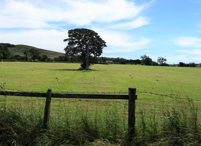
Lastly, the freshwater marsh completes the diverse landscape of Barge Ford. This marshland is characterized by its wet, spongy ground and is home to various plant species, including reeds, sedges, and rushes. It serves as a vital habitat for insects, small mammals, and numerous bird species, making it a significant ecological asset.
Overall, Barge Ford in Yorkshire offers a captivating blend of aquatic environments, attracting nature enthusiasts, anglers, and those seeking a peaceful retreat in the heart of nature.
If you have any feedback on the listing, please let us know in the comments section below.
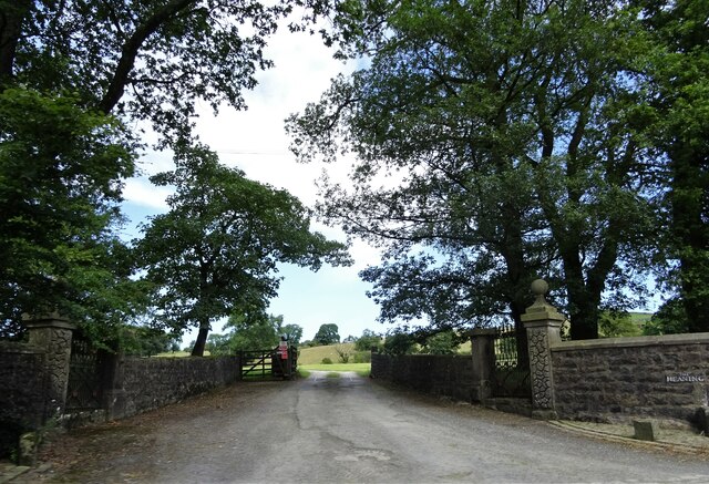
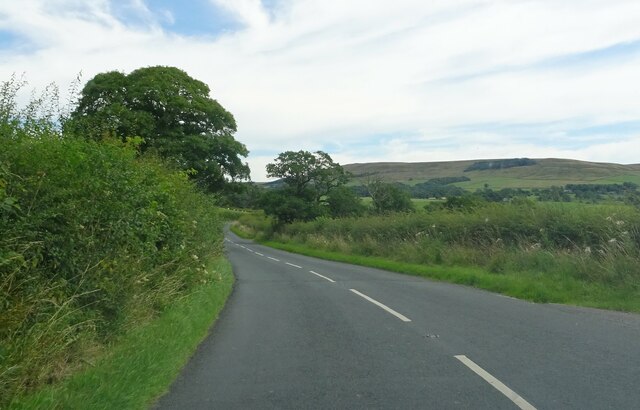
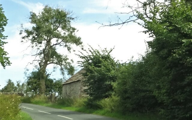
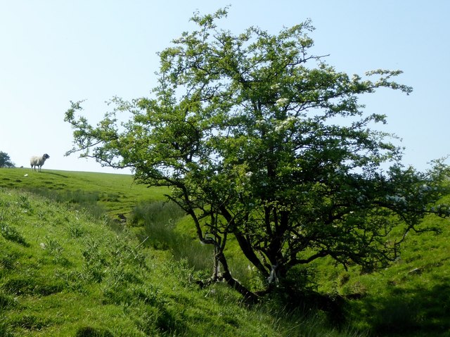
Barge Ford Images
Images are sourced within 2km of 53.942302/-2.4693288 or Grid Reference SD6949. Thanks to Geograph Open Source API. All images are credited.


Barge Ford is located at Grid Ref: SD6949 (Lat: 53.942302, Lng: -2.4693288)
Division: West Riding
Administrative County: Lancashire
District: Ribble Valley
Police Authority: Lancashire
What 3 Words
///concerts.beep.handbag. Near Waddington, Lancashire
Nearby Locations
Related Wikis

Newton-in-Bowland
Newton or Newton-in-Bowland is a village and civil parish in the Ribble Valley district, in the county of Lancashire, England, formerly known as Newton...

St Andrew's Church, Slaidburn
St Andrew's Church is in Church Street, Slaidburn, Lancashire, England. It is an active Anglican parish church in the deanery of Bowland, the archdeaconry...

River Dunsop
The River Dunsop is a river in the Forest of Bowland in Northern England. It flows into the River Hodder at Dunsop Bridge. It begins at the confluence...

Langden Brook
Langden Brook is a watercourse in the Trough of Bowland, Lancashire, England. A tributary of the River Hodder, its source is near the summit of Hawthornthwaite...
Nearby Amenities
Located within 500m of 53.942302,-2.4693288Have you been to Barge Ford?
Leave your review of Barge Ford below (or comments, questions and feedback).