Newton

Civil Parish in Yorkshire Ribble Valley

England

Newton

Barns at Foulscales On the road to Cow Ark.
Barns at Foulscales Credit: Phil and Juliette Platt

Newton is a civil parish located in the county of Yorkshire, England. Situated in the district of Ryedale, it is nestled in the beautiful countryside of North Yorkshire. The parish covers a total area of approximately 4 square miles.

The village of Newton itself is a small and picturesque settlement, with a population of around 200 residents. It is characterized by its charming stone cottages and well-maintained gardens, which add to the overall aesthetic appeal of the area. The village is surrounded by lush green fields and rolling hills, offering breathtaking views of the countryside.

Newton boasts a rich history, with evidence of human habitation dating back to the Bronze Age. The area also played a significant role during the Roman period, as it was situated on the route of a major Roman road. Today, visitors can explore the remnants of this ancient road, which adds an archaeological interest to the parish.

Despite its small size, Newton is home to a tight-knit community that takes great pride in maintaining the village's character and heritage. The parish has a local church, St. John the Baptist, which dates back to the 12th century and is a focal point for community gatherings and events.

The surrounding area offers ample opportunities for outdoor activities and exploration. The nearby North York Moors National Park provides a vast expanse of natural beauty, with walking trails and picturesque villages to discover. Additionally, Newton's proximity to the market town of Malton allows residents easy access to amenities and services.

Overall, Newton, Yorkshire is a tranquil and idyllic parish that offers a peaceful retreat in the heart of the Yorkshire countryside.

If you have any feedback on the listing, please let us know in the comments section below.
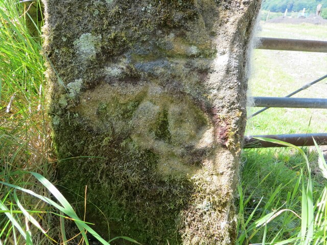
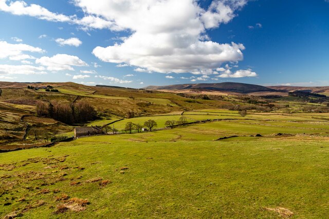
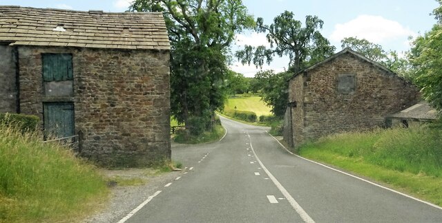
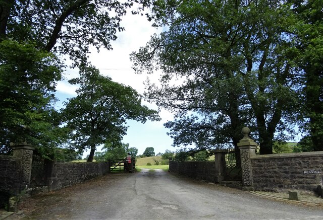
Newton Images

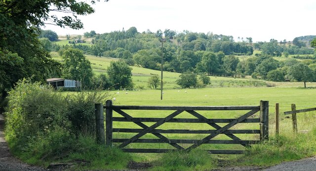
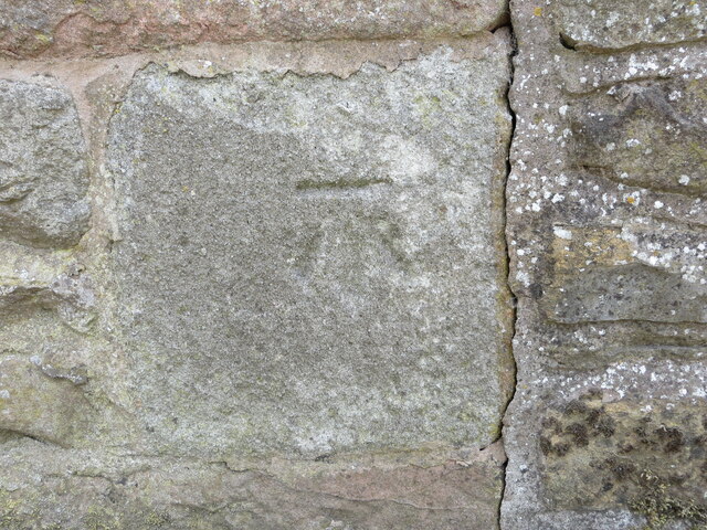
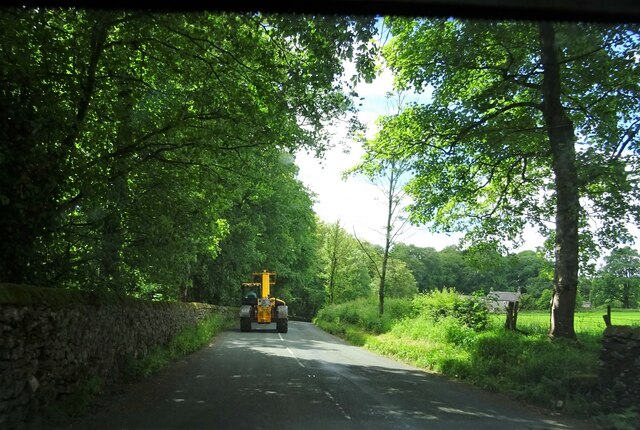
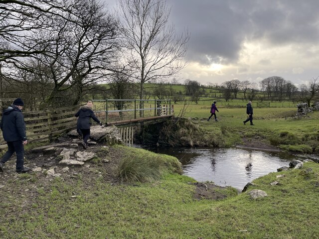
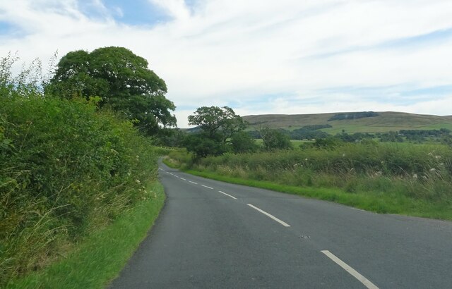
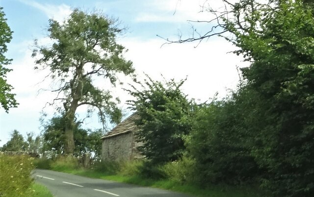
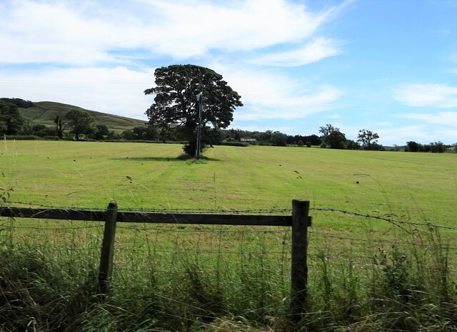
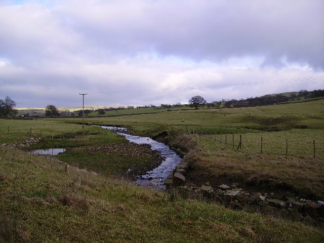
Images are sourced within 2km of 53.943275/-2.462542 or Grid Reference SD6949. Thanks to Geograph Open Source API. All images are credited.

Barns at Foulscales On the road to Cow Ark.
Barns at Foulscales
On the road to Cow Ark.
Field at Storth Sheep graze south of Newton.
Field at Storth
Sheep graze south of Newton.
The one that got away A sheep on the wrong side of the fence.
The one that got away
A sheep on the wrong side of the fence.
Foulscales farm A grade II listed farmhouse by Foulscales Brook.
Foulscales farm
A grade II listed farmhouse by Foulscales Brook.
Ordnance Survey Cut Mark This mark can be found on the roadside wall of a dwelling, former farm building, at Robinson's Farm, Easington.
The benchmark has a recorded height of 141.0157 metres above sea level.
For more detail see : <span class="nowrap"><a title="https://www.bench-marks.org.uk/bm145767" rel="nofollow ugc noopener" href="https://www.bench-marks.org.uk/bm145767">Link</a><img style="margin-left:2px;" alt="External link" title="External link - shift click to open in new window" src="https://s1.geograph.org.uk/img/external.png" width="10" height="10"/></span>
Ordnance Survey Cut Mark
This mark can be found on the roadside wall of a dwelling, former farm building, at Robinson's Farm, Easington. The benchmark has a recorded height of 141.0157 metres above sea level. For more detail see : LinkExternal link
Slow moving traffic on the road to Newton in Bowland Near Bluebutts Farm.
Slow moving traffic on the road to Newton in Bowland
Near Bluebutts Farm.
Ford at Newton This ford is found on a stream leading into the Hodder at Newton.
Ford at Newton
This ford is found on a stream leading into the Hodder at Newton.
Farm Ford at Easington This ford is found at Manor House near Easington.
Farm Ford at Easington
This ford is found at Manor House near Easington.
Ordnance Survey Cut Mark This mark can be found on a roadside gatepost at the track entrance to Fowler's Laithe.
The benchmark has a recorded height of 156.3716 metres above sea level.
For more detail see : <span class="nowrap"><a title="https://www.bench-marks.org.uk/bm152249" rel="nofollow ugc noopener" href="https://www.bench-marks.org.uk/bm152249">Link</a><img style="margin-left:2px;" alt="External link" title="External link - shift click to open in new window" src="https://s1.geograph.org.uk/img/external.png" width="10" height="10"/></span>
Ordnance Survey Cut Mark
This mark can be found on a roadside gatepost at the track entrance to Fowler's Laithe. The benchmark has a recorded height of 156.3716 metres above sea level. For more detail see : LinkExternal link
Lower Underhand Lower Underhand seen from Slaidburn Road.
Lower Underhand
Lower Underhand seen from Slaidburn Road.
Clerk Laithe Lodge On the B6478 outside Newton in Bowland and originally a barn the building is now converted to a guest house
Clerk Laithe Lodge
On the B6478 outside Newton in Bowland and originally a barn the building is now converted to a guest house
Farm buildings At Hill House on the B6478 south of Newton in Bowland.
Farm buildings
At Hill House on the B6478 south of Newton in Bowland.
Gateway to The Heaning On the road from Dunsop Bridge to Newton.
Gateway to The Heaning
On the road from Dunsop Bridge to Newton.
Approaching Newton Near Fober Farm.
Approaching Newton
Near Fober Farm.
Roadside barn Outside Newton.
Roadside barn
Outside Newton.
Tree and telegraph pole Off the road to Cow Ark.
Tree and telegraph pole
Off the road to Cow Ark.
Dunnow do you ? A piece of Little Britain in Bowland
Dunnow do you ?
A piece of Little Britain in Bowland
Easington Brook Soon enters the River Hodder at Easington
Easington Brook
Soon enters the River Hodder at Easington
Show me another place!

Newton is located at Grid Ref: SD6949 (Lat: 53.943275, Lng: -2.462542)

Division: West Riding

Administrative County: Lancashire

District: Ribble Valley

Police Authority: Lancashire

What 3 Words

///staring.vowed.dished. Near Waddington, Lancashire

Related Wikis

Newton-in-Bowland

Newton or Newton-in-Bowland is a village and civil parish in the Ribble Valley district, in the county of Lancashire, England, formerly known as Newton...

St Andrew's Church, Slaidburn

St Andrew's Church is in Church Street, Slaidburn, Lancashire, England. It is an active Anglican parish church in the deanery of Bowland, the archdeaconry...

King's House, Slaidburn

King's House is a Grade II listed building in Slaidburn, Lancashire, England, now used as a youth hostel. It was originally built in the 18th century,...

Slaidburn

Slaidburn () is a village and civil parish within the Ribble Valley district of Lancashire, England. The parish covers just over 5,000 acres of the Forest...

Nearby Amenities

Located within 500m of 53.943275,-2.462542
Barrier: stile
Material: stone
Stile: stepover
Lat/Long: 53.9416553/-2.4663336
Barrier: stile
Material: wood
Stile: stepover
Lat/Long: 53.9439296/-2.4642144
Barrier: stile
Material: wood
Stile: stepover
Lat/Long: 53.9452636/-2.4617733
Barrier: stile
Material: stone
Source: survey;gps
Stile: stepover
Lat/Long: 53.9476048/-2.4605381
Barrier: stile
Source: survey;gps
Lat/Long: 53.9416329/-2.4663107
Power: pole
Lat/Long: 53.9475339/-2.4618783
Power: pole
Lat/Long: 53.9468752/-2.4624526
Location Transition: yes
Power: pole
Lat/Long: 53.9462548/-2.4629095
The data included in this document is from www.openstreetmap.org. The data is made available under ODbL.

Have you been to Newton?

Leave your review of Newton below (or comments, questions and feedback).