Long Stripes Plantation

Wood, Forest in Yorkshire Ribble Valley

England

Long Stripes Plantation

Barns at Foulscales On the road to Cow Ark.
Barns at Foulscales Credit: Phil and Juliette Platt

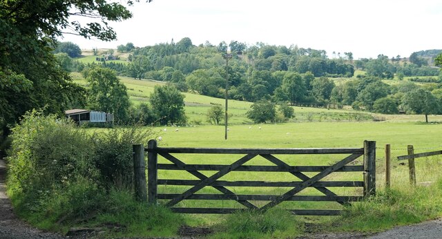
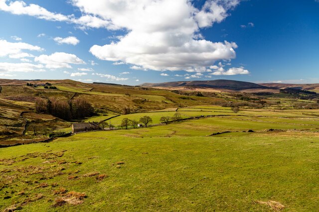
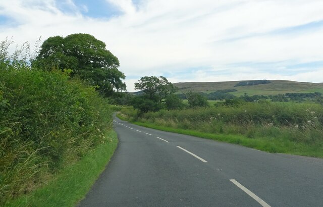
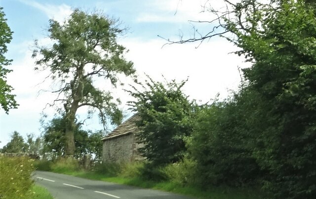
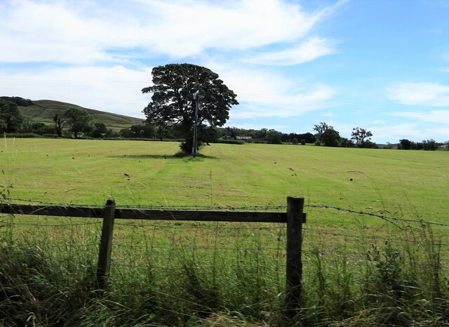
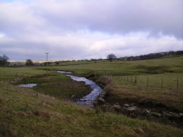
Long Stripes Plantation is a picturesque woodland located in Yorkshire, England. Situated amidst the stunning natural beauty of the region, the plantation spans across a vast area, offering visitors a serene and tranquil escape from the hustle and bustle of everyday life.

The plantation is predominantly covered with dense forests, consisting of a variety of tree species, including oak, beech, and pine. These towering trees provide a lush green canopy, creating a cool and refreshing atmosphere throughout the plantation. The woodland floor is adorned with a carpet of vibrant wildflowers, enhancing the natural beauty of the area.

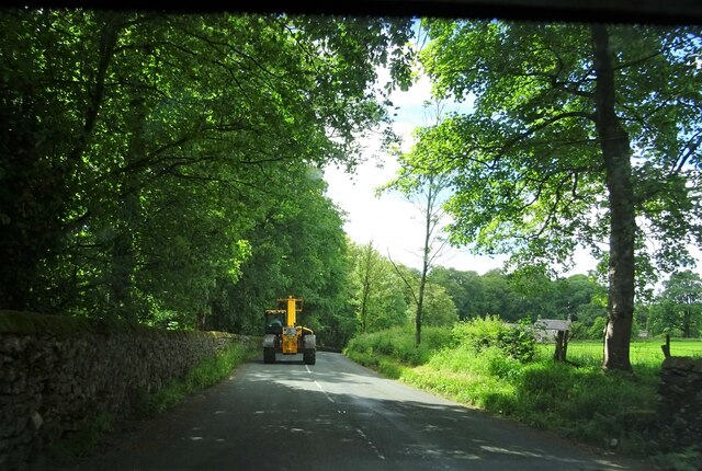
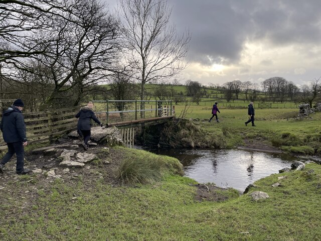
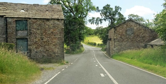
Long Stripes Plantation boasts numerous well-maintained walking trails that wind their way through the woodland, allowing visitors to fully immerse themselves in the enchanting surroundings. These paths are suitable for all levels of fitness, ranging from gentle strolls to more challenging hikes, ensuring there is something for everyone to explore and enjoy.

The plantation is home to a diverse range of wildlife, including various bird species, small mammals, and insects. Nature enthusiasts can spot an array of feathered creatures such as woodpeckers, owls, and robins, while lucky visitors may even catch a glimpse of a deer or rabbit darting through the undergrowth.

Long Stripes Plantation is a haven for outdoor activities such as picnicking, birdwatching, and photography. The tranquil ambiance and stunning vistas make it an ideal spot for nature lovers, hikers, and families seeking a peaceful retreat in the heart of Yorkshire's natural beauty.

If you have any feedback on the listing, please let us know in the comments section below.

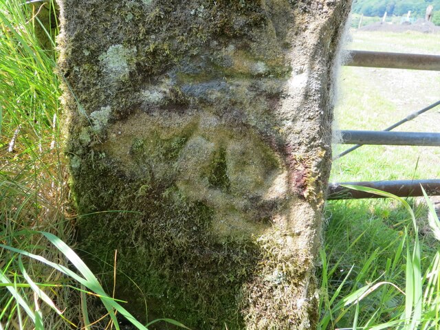
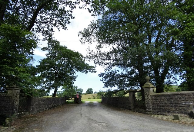
Long Stripes Plantation Images

Images are sourced within 2km of 53.942255/-2.4606905 or Grid Reference SD6949. Thanks to Geograph Open Source API. All images are credited.

Barns at Foulscales On the road to Cow Ark.
Barns at Foulscales
On the road to Cow Ark.
Field at Storth Sheep graze south of Newton.
Field at Storth
Sheep graze south of Newton.
The one that got away A sheep on the wrong side of the fence.
The one that got away
A sheep on the wrong side of the fence.
Foulscales farm A grade II listed farmhouse by Foulscales Brook.
Foulscales farm
A grade II listed farmhouse by Foulscales Brook.
Ordnance Survey Cut Mark This mark can be found on the roadside wall of a dwelling, former farm building, at Robinson's Farm, Easington.
The benchmark has a recorded height of 141.0157 metres above sea level.
For more detail see : <span class="nowrap"><a title="https://www.bench-marks.org.uk/bm145767" rel="nofollow ugc noopener" href="https://www.bench-marks.org.uk/bm145767">Link</a><img style="margin-left:2px;" alt="External link" title="External link - shift click to open in new window" src="https://s1.geograph.org.uk/img/external.png" width="10" height="10"/></span>
Ordnance Survey Cut Mark
This mark can be found on the roadside wall of a dwelling, former farm building, at Robinson's Farm, Easington. The benchmark has a recorded height of 141.0157 metres above sea level. For more detail see : LinkExternal link
Slow moving traffic on the road to Newton in Bowland Near Bluebutts Farm.
Slow moving traffic on the road to Newton in Bowland
Near Bluebutts Farm.
Ford at Newton This ford is found on a stream leading into the Hodder at Newton.
Ford at Newton
This ford is found on a stream leading into the Hodder at Newton.
Farm Ford at Easington This ford is found at Manor House near Easington.
Farm Ford at Easington
This ford is found at Manor House near Easington.
Ordnance Survey Cut Mark This mark can be found on a roadside gatepost at the track entrance to Fowler's Laithe.
The benchmark has a recorded height of 156.3716 metres above sea level.
For more detail see : <span class="nowrap"><a title="https://www.bench-marks.org.uk/bm152249" rel="nofollow ugc noopener" href="https://www.bench-marks.org.uk/bm152249">Link</a><img style="margin-left:2px;" alt="External link" title="External link - shift click to open in new window" src="https://s1.geograph.org.uk/img/external.png" width="10" height="10"/></span>
Ordnance Survey Cut Mark
This mark can be found on a roadside gatepost at the track entrance to Fowler's Laithe. The benchmark has a recorded height of 156.3716 metres above sea level. For more detail see : LinkExternal link
Lower Underhand Lower Underhand seen from Slaidburn Road.
Lower Underhand
Lower Underhand seen from Slaidburn Road.
Clerk Laithe Lodge On the B6478 outside Newton in Bowland and originally a barn the building is now converted to a guest house
Clerk Laithe Lodge
On the B6478 outside Newton in Bowland and originally a barn the building is now converted to a guest house
Farm buildings At Hill House on the B6478 south of Newton in Bowland.
Farm buildings
At Hill House on the B6478 south of Newton in Bowland.
Gateway to The Heaning On the road from Dunsop Bridge to Newton.
Gateway to The Heaning
On the road from Dunsop Bridge to Newton.
Approaching Newton Near Fober Farm.
Approaching Newton
Near Fober Farm.
Roadside barn Outside Newton.
Roadside barn
Outside Newton.
Tree and telegraph pole Off the road to Cow Ark.
Tree and telegraph pole
Off the road to Cow Ark.
Dunnow do you ? A piece of Little Britain in Bowland
Dunnow do you ?
A piece of Little Britain in Bowland
Easington Brook Soon enters the River Hodder at Easington
Easington Brook
Soon enters the River Hodder at Easington
Show me another place!

Long Stripes Plantation is located at Grid Ref: SD6949 (Lat: 53.942255, Lng: -2.4606905)

Division: West Riding

Administrative County: Lancashire

District: Ribble Valley

Police Authority: Lancashire

What 3 Words

///fractions.lifetimes.property. Near Waddington, Lancashire

Related Wikis

Newton-in-Bowland

Newton or Newton-in-Bowland is a village and civil parish in the Ribble Valley district, in the county of Lancashire, England, formerly known as Newton...

St Andrew's Church, Slaidburn

St Andrew's Church is in Church Street, Slaidburn, Lancashire, England. It is an active Anglican parish church in the deanery of Bowland, the archdeaconry...

King's House, Slaidburn

King's House is a Grade II listed building in Slaidburn, Lancashire, England, now used as a youth hostel. It was originally built in the 18th century,...

Slaidburn

Slaidburn () is a village and civil parish within the Ribble Valley district of Lancashire, England. The parish covers just over 5,000 acres of the Forest...

Nearby Amenities

Located within 500m of 53.942255,-2.4606905
Barrier: stile
Material: stone
Stile: stepover
Lat/Long: 53.9416553/-2.4663336
Barrier: stile
Material: wood
Stile: stepover
Lat/Long: 53.9439296/-2.4642144
Barrier: stile
Material: wood
Stile: stepover
Lat/Long: 53.9452636/-2.4617733
Barrier: stile
Source: survey;gps
Lat/Long: 53.9416329/-2.4663107
Power: pole
Lat/Long: 53.9455874/-2.4557765
Power: pole
Lat/Long: 53.9450114/-2.4547998
Location Transition: yes
Power: pole
Lat/Long: 53.9462548/-2.4629095
The data included in this document is from www.openstreetmap.org. The data is made available under ODbL.

Have you been to Long Stripes Plantation?

Leave your review of Long Stripes Plantation below (or comments, questions and feedback).