Dingle Reservoir

Lake, Pool, Pond, Freshwater Marsh in Lancashire

England

Dingle Reservoir

The Thomas Egerton A pub on the corner of Blackburn Road and Bedford Street in Egerton formerly called The Globe. It is thought that the pub was renamed after Thomas Egerton, Earl Wilton.
The Thomas Egerton Credit: philandju

Dingle Reservoir, located in the county of Lancashire, England, is a freshwater lake situated within the picturesque surroundings of the West Pennine Moors. Covering an area of approximately 15 hectares, the reservoir serves as an important water source for the local community.

The reservoir's origins date back to the mid-19th century when it was constructed as part of a wider effort to provide a reliable water supply to the growing industrial towns nearby. The construction of Dingle Reservoir involved the damming of a valley, resulting in a substantial body of water surrounded by rolling hills.

The reservoir boasts a serene and tranquil environment, attracting visitors who seek to escape the hustle and bustle of urban life. The crystal-clear water reflects the surrounding landscape, creating stunning vistas that are a treat for the eyes. The shores of Dingle Reservoir are adorned with lush greenery, providing a habitat for various plant species and wildlife.

The reservoir is a popular spot for fishing enthusiasts, who flock to its shores in pursuit of their catch. It is home to a variety of fish species, including carp, pike, and perch, providing an excellent opportunity for anglers to indulge in their favorite pastime.

Nature lovers also find solace in Dingle Reservoir's freshwater marsh, which thrives with diverse flora and fauna. The marshland is a haven for numerous bird species, such as ducks, swans, and herons, making it an ideal location for birdwatching.

Overall, Dingle Reservoir in Lancashire offers a serene retreat for those seeking natural beauty, recreational activities, and a peaceful escape in the heart of the West Pennine Moors.

If you have any feedback on the listing, please let us know in the comments section below.

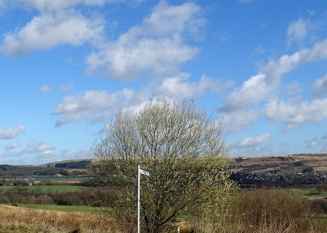
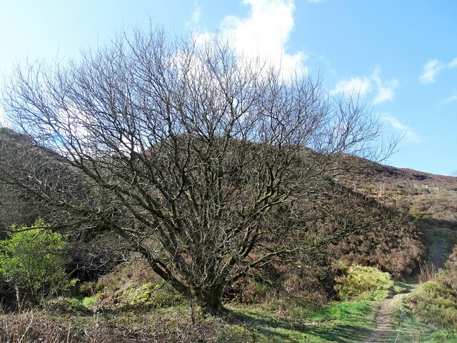
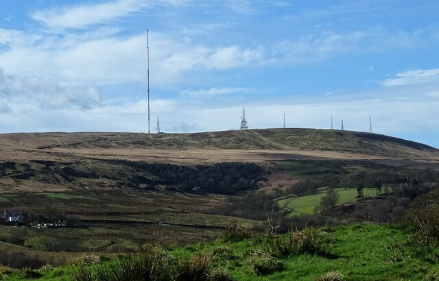
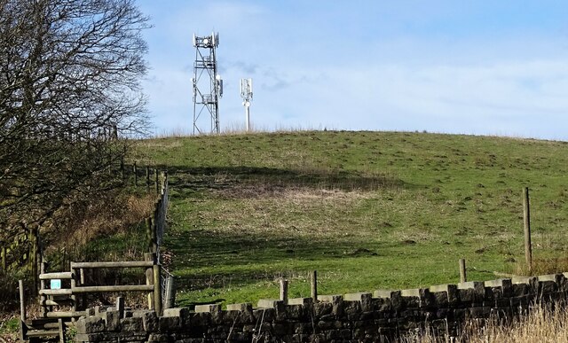
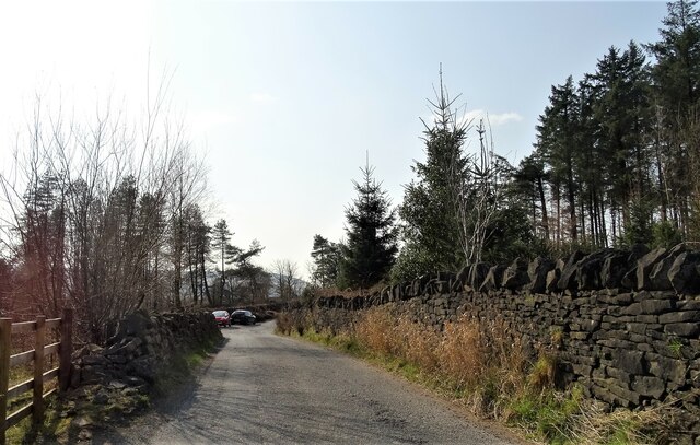
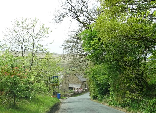
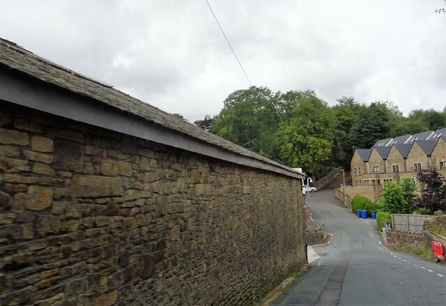
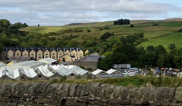
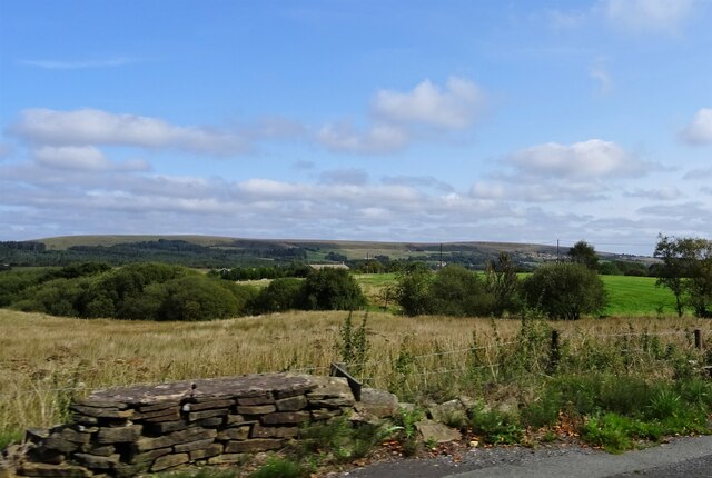
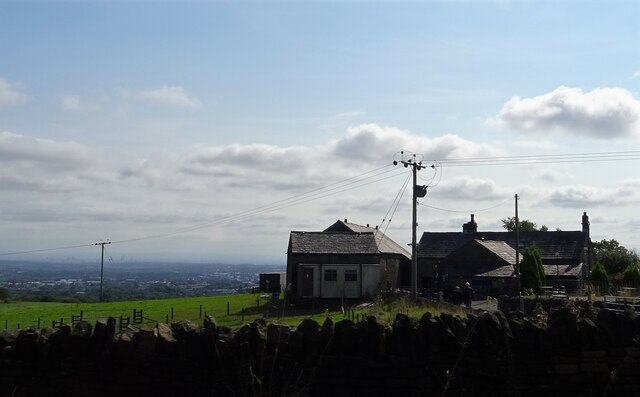
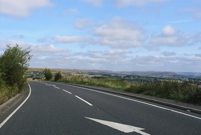
Dingle Reservoir Images

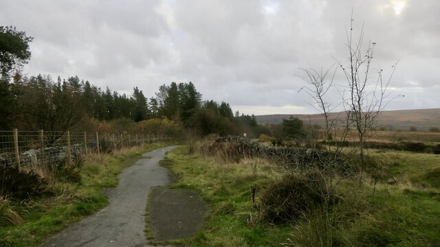
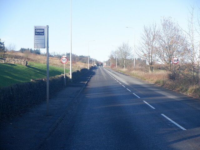
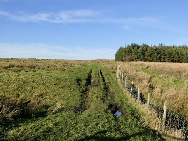
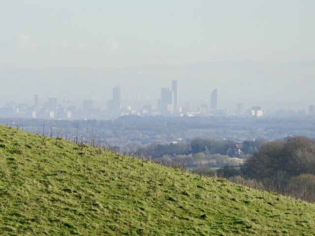
Images are sourced within 2km of 53.627447/-2.4657204 or Grid Reference SD6914. Thanks to Geograph Open Source API. All images are credited.

The Thomas Egerton A pub on the corner of Blackburn Road and Bedford Street in Egerton formerly called The Globe. It is thought that the pub was renamed after Thomas Egerton, Earl Wilton.
The Thomas Egerton
A pub on the corner of Blackburn Road and Bedford Street in Egerton formerly called The Globe. It is thought that the pub was renamed after Thomas Egerton, Earl Wilton.
Derelict road A narrow ribbon of  tarmac on what is still mapped as a yellow road.
Derelict road
A narrow ribbon of tarmac on what is still mapped as a yellow road.
Field off Egerton Road Sheep graze in front of a background of the A675 passing Winter Hill.
Field off Egerton Road
Sheep graze in front of a background of the A675 passing Winter Hill.
A675 leaving Bolton Beside the Wilton Arms
A675 leaving Bolton
Beside the Wilton Arms
Rough grazing Off Longworth Road North near Belmont. The now ubiquitous Herdwick sheep graze a rough pasture.
Rough grazing
Off Longworth Road North near Belmont. The now ubiquitous Herdwick sheep graze a rough pasture.
Skyscrapers amongst the moors View over a shoulder of Great Robert Hill towards a rather futuristic skyline.  Not been there for a while, and I don't remember so many skyscrapers. Not sure about the city - both Manchester and Salford?
Skyscrapers amongst the moors
View over a shoulder of Great Robert Hill towards a rather futuristic skyline. Not been there for a while, and I don't remember so many skyscrapers. Not sure about the city - both Manchester and Salford?
A view from Scout Road Springs reservoir is to the left and the village of Egerton is to the right.
A view from Scout Road
Springs reservoir is to the left and the village of Egerton is to the right.
Path on Horrocks Moor Off Scout Road and near the now disused Horrocks Fold quarry.
Path on Horrocks Moor
Off Scout Road and near the now disused Horrocks Fold quarry.
Winter Hill From Longworth Road.
Winter Hill
From Longworth Road.
Great Robert Hill A high point near Belmont suitable for the siting of communications masts.
Great Robert Hill
A high point near Belmont suitable for the siting of communications masts.
Stones Bank Road A narrow lane between the villages of Egerton and Belmont.
Stones Bank Road
A narrow lane between the villages of Egerton and Belmont.
Wittons Farmhouse On Egerton Road near Belmont.
Wittons Farmhouse
On Egerton Road near Belmont.
Egerton Road, Belmont Alongside Belmont Works. The blind bend ahead can be rather tricky.
Egerton Road, Belmont
Alongside Belmont Works. The blind bend ahead can be rather tricky.
Road junction The junction of Smithills Dean Road, Coal Pit Road, Colliers Row Road and Scout Road.
Road junction
The junction of Smithills Dean Road, Coal Pit Road, Colliers Row Road and Scout Road.
Belmont Works Alongside the old works are fairly new houses.
Belmont Works
Alongside the old works are fairly new houses.
Fields off Belmont Road If the field nearest the camera position is used as pasture, I am not aware of it.
Fields off Belmont Road
If the field nearest the camera position is used as pasture, I am not aware of it.
Bryan Hey Farm Off Scout Road in north Bolton.
Bryan Hey Farm
Off Scout Road in north Bolton.
Approaching a sharp bend On Scout Road.
Approaching a sharp bend
On Scout Road.
Show me another place!

Dingle Reservoir is located at Grid Ref: SD6914 (Lat: 53.627447, Lng: -2.4657204)

Unitary Authority: Blackburn with Darwen

Police Authority: Lancashire

What 3 Words

///clef.accent.leaky. Near Bolton, Manchester

Related Wikis

Dingle Reservoir

Dingle Reservoir is an artificial, low alkalinity, shallow reservoir near the town of Egerton, Greater Manchester. It is a little under 400 metres from...

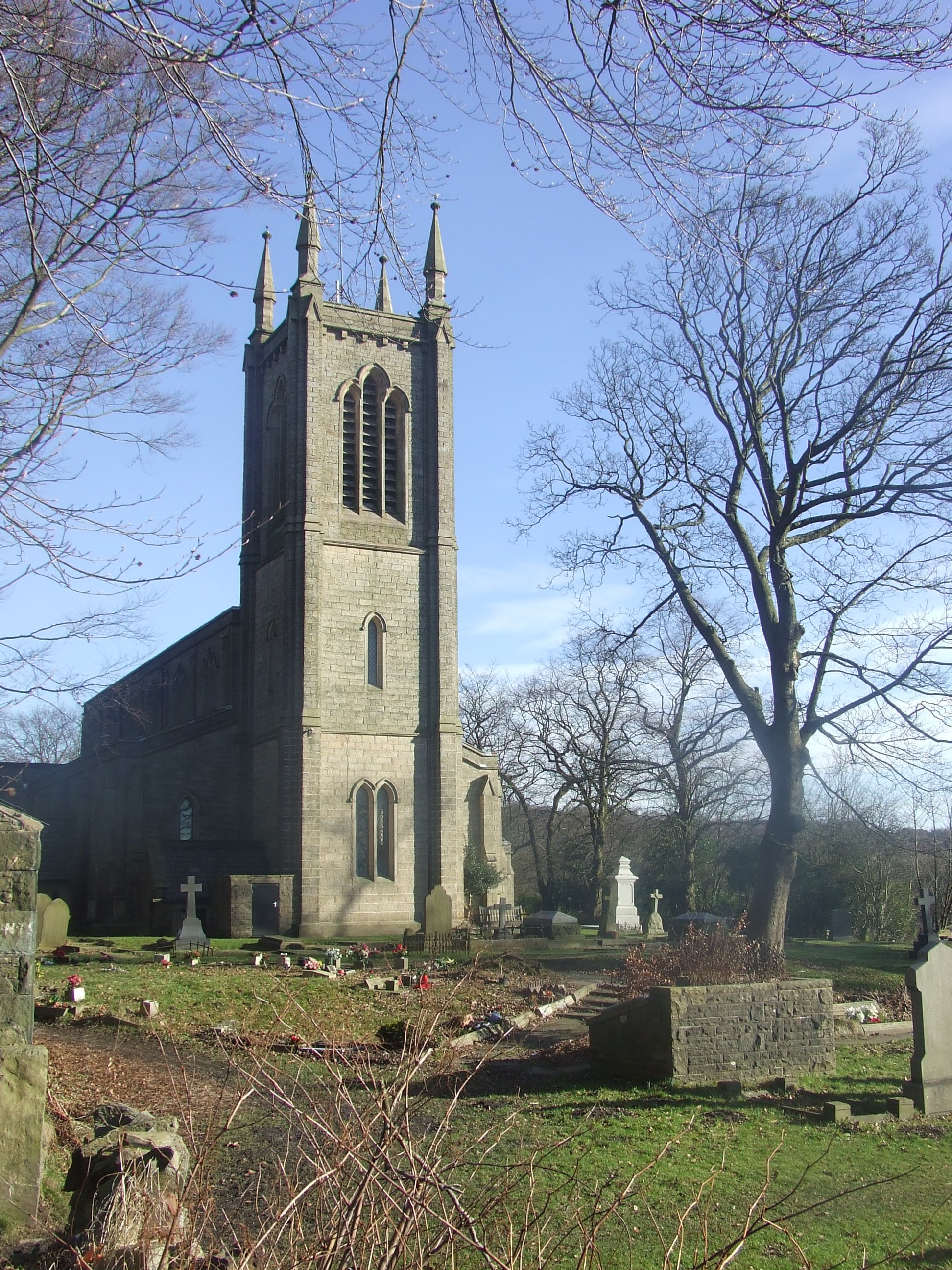
Christ Church, Walmsley

Christ Church is in Blackburn Road, Walmsley, Egerton, Greater Manchester, England. It is an active Church of England parish church in the deanery of Walmsley...

A666 road

The A666 is a major road in Greater Manchester and Lancashire, England. == Route == The road runs from its junction with the A6, and A580 at the Irlams...

Dean Mills Reservoir

Dean Mills Reservoir is a small water reservoir to the north of the town of Bolton, Greater Manchester located high on the slopes of Winter Hill. The reservoir...

Nearby Amenities

Located within 500m of 53.627447,-2.4657204
Barrier: stile
Lat/Long: 53.6253709/-2.4632896
Barrier: yes
Lat/Long: 53.6311822/-2.4660158
The data included in this document is from www.openstreetmap.org. The data is made available under ODbL.

Have you been to Dingle Reservoir?

Leave your review of Dingle Reservoir below (or comments, questions and feedback).