Anna Stream

Lake, Pool, Pond, Freshwater Marsh in Roxburghshire

Scotland

Anna Stream

Café on the A698, Mounthooly
Café on the A698, Mounthooly Credit: JThomas

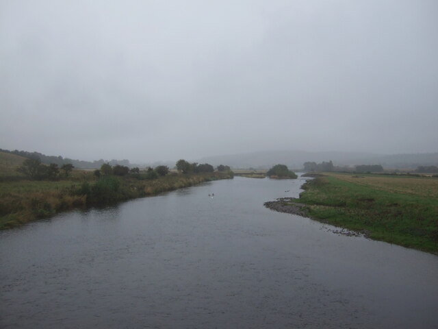
Anna Stream is a picturesque freshwater body located in the rural area of Roxburghshire, Scotland. Nestled amidst serene surroundings, this stream offers a tranquil and scenic retreat for nature enthusiasts and outdoor lovers alike.

As its name suggests, Anna Stream is primarily characterized by its flowing water, making it a popular destination for fishing enthusiasts. The stream is home to various species of freshwater fish, including trout and salmon, providing ample opportunities for anglers to test their skills and enjoy a day of fishing.

Aside from its fishing potential, Anna Stream offers a diverse range of ecosystems within its vicinity. The stream itself is relatively narrow, with crystal-clear waters that meander through the landscape. Along its banks, visitors can find a mix of marshy areas, pools, and ponds, each harboring its own unique plant and animal life.

The freshwater marshes surrounding Anna Stream are particularly noteworthy, offering a haven for a variety of plant species, such as reeds, cattails, and water lilies. These marshes provide important habitats for numerous bird species, including ducks, herons, and even occasional sightings of kingfishers.

The enchanting beauty of Anna Stream is further enhanced by its lush green surroundings, with rolling hills and dense woodland bordering the water's edge. The stream itself acts as a natural connector between different parts of the landscape, creating a sense of harmony and unity between the various elements of this idyllic setting.

Overall, Anna Stream in Roxburghshire is a charming freshwater body that offers a serene escape from the hustle and bustle of everyday life. Whether it's fishing, birdwatching, or simply enjoying the tranquility of nature, visitors are guaranteed a peaceful and rewarding experience in this hidden gem of Scotland.

If you have any feedback on the listing, please let us know in the comments section below.
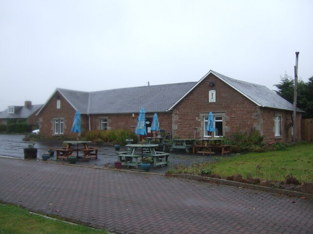
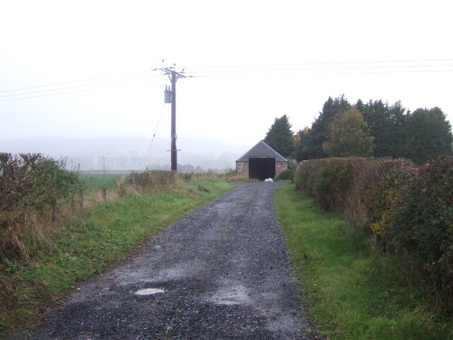
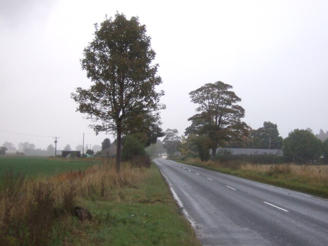
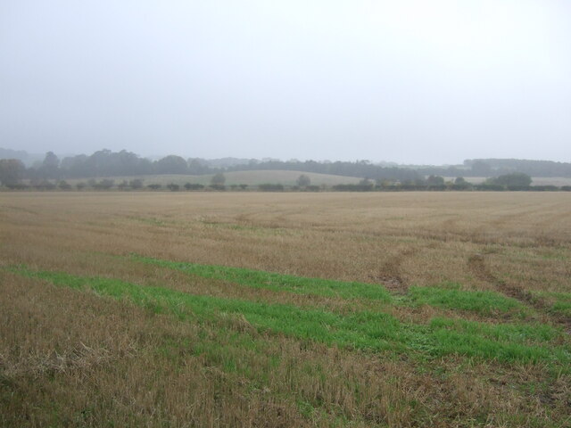
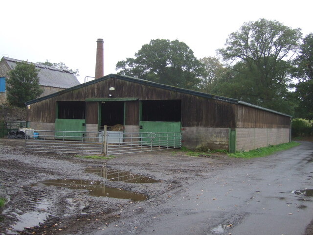
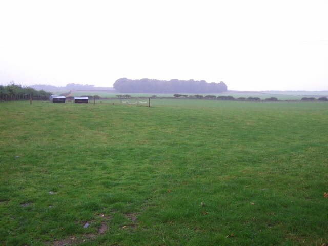
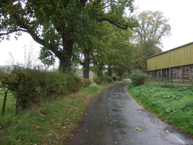
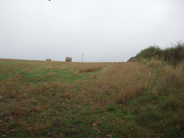
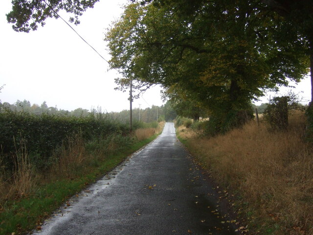
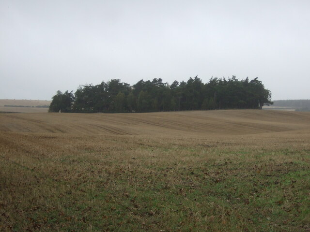
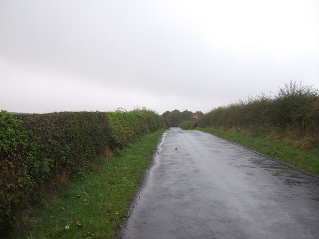
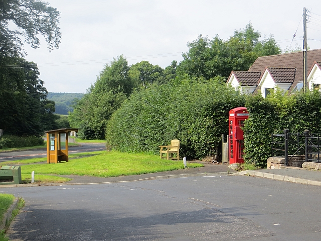
Anna Stream Images

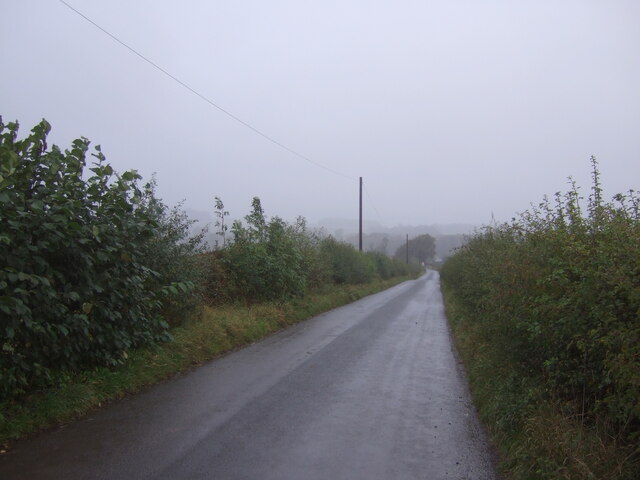
Images are sourced within 2km of 55.521115/-2.5095519 or Grid Reference NT6725. Thanks to Geograph Open Source API. All images are credited.

Café on the A698, Mounthooly
Track to Shortacres Off the A698.
Track to Shortacres
Off the A698.
A698 towards Kelso
A698 towards Kelso
Field, Palace Off the A698 on a dreich day (hence lack of light and colour).
Field, Palace
Off the A698 on a dreich day (hence lack of light and colour).
A698 heading east Towards Kelso.
A698 heading east
Towards Kelso.
Stubble field near Nisbet Off the B6400 -  on a dreich day (hence lack of light and colour).
Stubble field near Nisbet
Off the B6400 - on a dreich day (hence lack of light and colour).
B6400 towards Nisbet
River Teviot, Nisbet From the bridge on the B6400.
River Teviot, Nisbet
From the bridge on the B6400.
George V postbox, Nisbet Postbox No. TD8 96.

See <a href="https://www.geograph.org.uk/photo/7020744">NT6725 : George V postbox and telephone box, Nisbet</a> for context.
George V postbox, Nisbet
Postbox No. TD8 96. See NT6725 : George V postbox and telephone box, Nisbet for context.
George V postbox and telephone box, Nisbet Showing position of Postbox No. TD8 96.
Telephone box now houses a defibrillator.

See <a href="https://www.geograph.org.uk/photo/7020742">NT6725 : George V postbox, Nisbet</a> for postbox.
George V postbox and telephone box, Nisbet
Showing position of Postbox No. TD8 96. Telephone box now houses a defibrillator. See NT6725 : George V postbox, Nisbet for postbox.
Barn, East Nisbet
Barn, East Nisbet
Grazing, East Nisbet On a dreich day (hence lack of light and colour).
Grazing, East Nisbet
On a dreich day (hence lack of light and colour).
Minor road, East Nisbet Towards Roxburgh.
Minor road, East Nisbet
Towards Roxburgh.
Stubble field and bales near Whinny Knowe
Minor road towards Roxburgh
Stubble field and woodland, Upper Nisbet Undulating farmland on a dreich autumnal day.
Stubble field and woodland, Upper Nisbet
Undulating farmland on a dreich autumnal day.
Track to Upper Nisbet Farm Passes Ploughlands Pond Wood.
Track to Upper Nisbet Farm
Passes Ploughlands Pond Wood.
Minor road, Upper Nisbet Towards Roxburgh.
Minor road, Upper Nisbet
Towards Roxburgh.
Show me another place!

Anna Stream is located at Grid Ref: NT6725 (Lat: 55.521115, Lng: -2.5095519)

Unitary Authority: The Scottish Borders

Police Authority: The Lothians and Scottish Borders

What 3 Words

///expanded.flipping.skidding. Near Jedburgh, Scottish Borders

Related Wikis

Nearby Amenities

Located within 500m of 55.521115,-2.5095519
Give Way
Direction: forward
Lat/Long: 55.5170739/-2.5108597
Noexit: yes
Lat/Long: 55.5177905/-2.5086418
Noexit: yes
Lat/Long: 55.5179092/-2.5043506
Noexit: yes
Lat/Long: 55.5179152/-2.5090111
Noexit: yes
Lat/Long: 55.5181385/-2.5088065
Barrier: stile
Step Count: 4
Stile: ladder
Lat/Long: 55.5211567/-2.5163211
Power: pole
Lat/Long: 55.5181435/-2.508139
Power: pole
Lat/Long: 55.5180873/-2.5072834
Power: pole
Lat/Long: 55.5180327/-2.5064734
Power: pole
Lat/Long: 55.5173797/-2.5060952
Power: pole
Lat/Long: 55.5170179/-2.50681
Power: pole
Lat/Long: 55.5168529/-2.5079614
Power: pole
Lat/Long: 55.516689/-2.5091041
The data included in this document is from www.openstreetmap.org. The data is made available under ODbL.

Have you been to Anna Stream?

Leave your review of Anna Stream below (or comments, questions and feedback).