Burnfoot Stream

Lake, Pool, Pond, Freshwater Marsh in Roxburghshire

Scotland

Burnfoot Stream

Track off the A698, Jedfoot Bridge Part of the Borders Abbeys Way path.
Track off the A698, Jedfoot Bridge Credit: JThomas

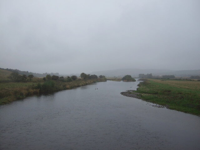
Burnfoot Stream is a freshwater marsh located in Roxburghshire, a county in the Scottish Borders region of Scotland. This small stream, often referred to as a burn in the local dialect, is surrounded by lush greenery and provides a rich and diverse ecosystem.

Meandering through the countryside, Burnfoot Stream is known for its calm and gentle flow, creating an idyllic environment for a variety of flora and fauna. The stream is fed by natural springs and rainfall, ensuring a constant supply of fresh water.

The stream is home to numerous aquatic plants, including water lilies, reeds, and various species of grasses. These plants provide shelter and food for a wide range of wildlife, attracting an abundance of bird species such as mallards, herons, and kingfishers. Additionally, small mammals like water voles and otters can often be spotted along the stream banks.

The crystal-clear waters of Burnfoot Stream also support a diverse population of fish, including brown trout and pike. Anglers frequent the area, attracted by the opportunity to catch these prized fish.

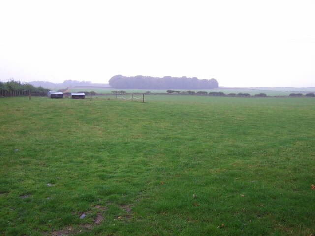
The surrounding landscape of Burnfoot Stream is a mix of wetland and woodland, creating a picturesque setting. The stream itself is relatively small, resembling a tranquil pool or pond in some areas. The water is typically calm and clear, allowing visitors to admire the underwater world and the reflection of the surrounding trees.

Overall, Burnfoot Stream is a hidden gem in Roxburghshire, offering a peaceful and vibrant habitat for a variety of plants and animals. Its natural beauty and serene atmosphere make it a popular destination for nature enthusiasts and those seeking a tranquil escape.

If you have any feedback on the listing, please let us know in the comments section below.

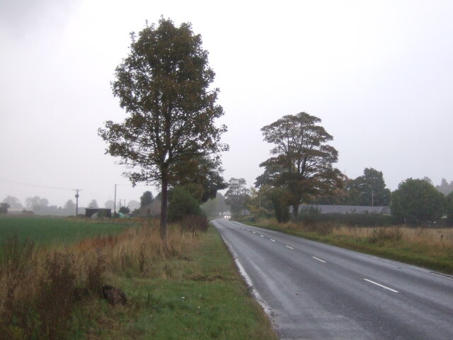
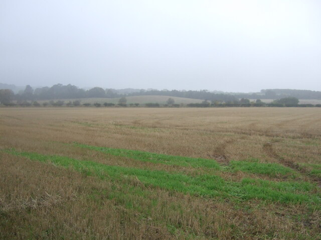
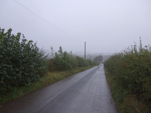
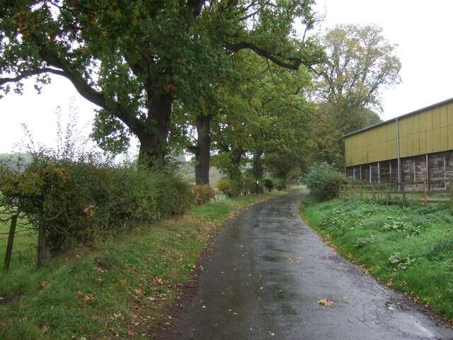
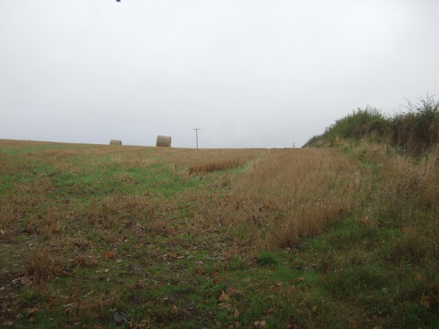
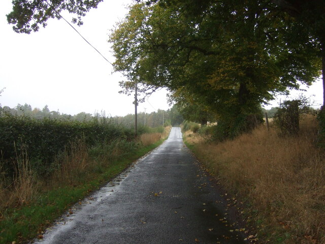
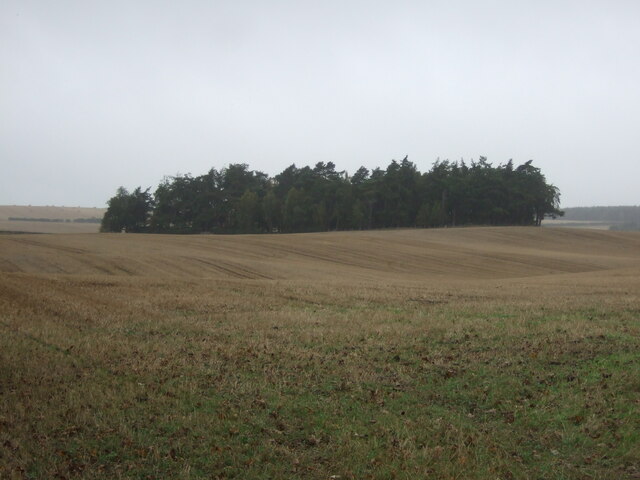
Burnfoot Stream Images

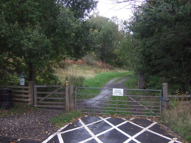
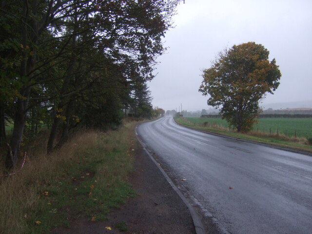
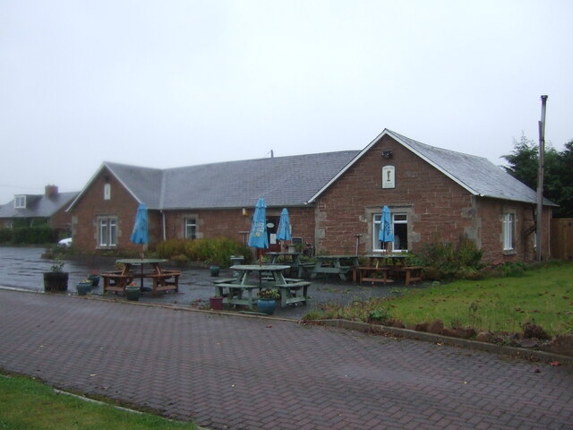
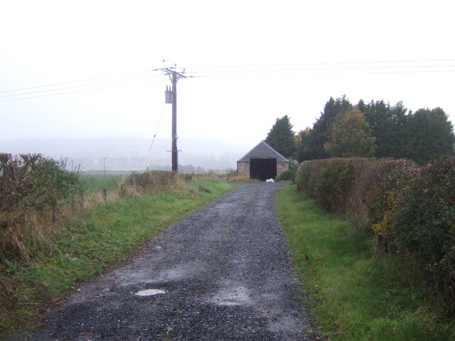
Images are sourced within 2km of 55.521448/-2.5138009 or Grid Reference NT6725. Thanks to Geograph Open Source API. All images are credited.

Track off the A698, Jedfoot Bridge Part of the Borders Abbeys Way path.
Track off the A698, Jedfoot Bridge
Part of the Borders Abbeys Way path.
A698, Jedfoot Bridge Towards Kelso.
A698, Jedfoot Bridge
Towards Kelso.
Café on the A698, Mounthooly
Track to Shortacres Off the A698.
Track to Shortacres
Off the A698.
A698 towards Kelso
A698 towards Kelso
Field, Palace Off the A698 on a dreich day (hence lack of light and colour).
Field, Palace
Off the A698 on a dreich day (hence lack of light and colour).
A698 heading east Towards Kelso.
A698 heading east
Towards Kelso.
Stubble field near Nisbet Off the B6400 -  on a dreich day (hence lack of light and colour).
Stubble field near Nisbet
Off the B6400 - on a dreich day (hence lack of light and colour).
B6400 towards Nisbet
River Teviot, Nisbet From the bridge on the B6400.
River Teviot, Nisbet
From the bridge on the B6400.
George V postbox, Nisbet Postbox No. TD8 96.

See <a href="https://www.geograph.org.uk/photo/7020744">NT6725 : George V postbox and telephone box, Nisbet</a> for context.
George V postbox, Nisbet
Postbox No. TD8 96. See NT6725 : George V postbox and telephone box, Nisbet for context.
George V postbox and telephone box, Nisbet Showing position of Postbox No. TD8 96.
Telephone box now houses a defibrillator.

See <a href="https://www.geograph.org.uk/photo/7020742">NT6725 : George V postbox, Nisbet</a> for postbox.
George V postbox and telephone box, Nisbet
Showing position of Postbox No. TD8 96. Telephone box now houses a defibrillator. See NT6725 : George V postbox, Nisbet for postbox.
Barn, East Nisbet
Barn, East Nisbet
Grazing, East Nisbet On a dreich day (hence lack of light and colour).
Grazing, East Nisbet
On a dreich day (hence lack of light and colour).
Minor road, East Nisbet Towards Roxburgh.
Minor road, East Nisbet
Towards Roxburgh.
Stubble field and bales near Whinny Knowe
Minor road towards Roxburgh
Stubble field and woodland, Upper Nisbet Undulating farmland on a dreich autumnal day.
Stubble field and woodland, Upper Nisbet
Undulating farmland on a dreich autumnal day.
Show me another place!

Burnfoot Stream is located at Grid Ref: NT6725 (Lat: 55.521448, Lng: -2.5138009)

Unitary Authority: The Scottish Borders

Police Authority: The Lothians and Scottish Borders

What 3 Words

///earpiece.flute.subsets. Near Jedburgh, Scottish Borders

Related Wikis

Nearby Amenities

Located within 500m of 55.521448,-2.5138009
Bus Stop
Riding Stables
Bench: no
Bus: yes
Departures Board: no
Lit: no
Local Ref: at
Naptan AtcoCode: 69001383
Naptan Bearing: N
Naptan CommonName: Riding Stables
Naptan Indicator: at
Naptan NaptanCode: 72725747
Naptan Street: B6400
Operator: Scottish Borders Council
Public Transport: platform
Ref: 69001383
Shelter: no
Source: local knowledge;survey;NaPTAN
Lat/Long: 55.5239962/-2.5198167
Noexit: yes
Lat/Long: 55.5219689/-2.5184343
Noexit: yes
Lat/Long: 55.5179152/-2.5090111
Noexit: yes
Lat/Long: 55.5181385/-2.5088065
Nisbet
Name Sco: Neisbet
Place: village
Wikidata: Q7040184
Wikimedia Commons: Category:Nisbet,_Jedburgh
Wikipedia: en:Nisbet, Scottish Borders
Lat/Long: 55.5244508/-2.5186354
Stone
Historic: monument
Lat/Long: 55.525045/-2.5145658
Noexit: yes
Lat/Long: 55.5234818/-2.5190148
Noexit: yes
Lat/Long: 55.5238578/-2.5204195
Noexit: yes
Lat/Long: 55.5245497/-2.5189441
Noexit: yes
Lat/Long: 55.5246507/-2.5186859
Noexit: yes
Lat/Long: 55.5254476/-2.5164716
Noexit: yes
Lat/Long: 55.5245831/-2.5179958
Noexit: yes
Lat/Long: 55.5239724/-2.5176495
Bench
Backrest: yes
Check Date: 2022-09-03
Lat/Long: 55.5244544/-2.5186058
Public Bookcase
Booth: K6
Colour: red
Disused Amenity: telephone
Man Made: telephone_box
Note: phone booth still present, no phone now. An aed, book library and tourist information
Public Bookcase Type: phone_box
Lat/Long: 55.5251784/-2.5176043
Post Box
Brand: Royal Mail
Brand Wikidata: Q638098
Collection Times: Mo-Fr 11:00, Sa 10:00
Operator: Royal Mail
Operator Wikidata: Q638098
Post Box Design: waggon_top
Post Box Mounting: wooden_post
Post Box Type: lamp
Ref: TD8 96
Royal Cypher: GR
Royal Cypher Wikidata: Q33102273
Lat/Long: 55.5251845/-2.5175882
Board Type: notice
Check Date: 2021-05-08
Information: board
Tourism: information
Lat/Long: 55.5251934/-2.5175673
Nisbet
Historic Railway: station
Railway: site
Wikidata: Q96395848
Wikipedia: en:Nisbet railway station
Lat/Long: 55.5220699/-2.5183038
Defibrillator
Access: yes
Defibrillator Location: inside red phone box, Nisbet
Emergency: defibrillator
Indoor: yes
Ref GB The Circuit: 1DB8BFB6-E067-48C8-913C-AAD800E30D8B
Lat/Long: 55.5251809/-2.5176027
Barrier: stile
Step Count: 4
Stile: ladder
Lat/Long: 55.5211567/-2.5163211
Bus Stop
West Nisbet Steading
Bench: yes
Bus: yes
Departures Board: no
Lit: no
Local Ref: at
Naptan AtcoCode: 69002021
Naptan Bearing: SW
Naptan CommonName: West Nisbet Steading
Naptan Indicator: at
Naptan NaptanCode: 72723309
Naptan Street: Cemetery
Operator: Scottish Borders Council
Public Transport: platform
Ref: 69002021
Shelter: no
Source: local knowledge;survey;NaPTAN
Lat/Long: 55.5244999/-2.518607
Bus Stop
Riding Stables
Bench: no
Bus: yes
Departures Board: no
Lit: no
Local Ref: opp
Naptan AtcoCode: 69001382
Naptan Bearing: S
Naptan CommonName: Riding Stables
Naptan Indicator: opp
Naptan NaptanCode: 72725746
Naptan Street: B6400
Operator: Scottish Borders Council
Public Transport: platform
Ref: 69001382
Shelter: no
Source: local knowledge;survey;NaPTAN
Lat/Long: 55.5234418/-2.5190654
Description: Borders Abbeys Way finger post
Information: guidepost
Material: wood
Tourism: information
Lat/Long: 55.522277/-2.5175562
Bench: yes
Covered: no
Leisure: picnic_table
Lit: no
Material: wood
Lat/Long: 55.5252489/-2.5175321
Bench
Backrest: yes
Colour: brown
Material: wood
Seats: 3
Lat/Long: 55.525073/-2.5178147
Give Way
Direction: backward
Lat/Long: 55.5245351/-2.5185212
Give Way
Direction: forward
Lat/Long: 55.5241408/-2.5199802
The data included in this document is from www.openstreetmap.org. The data is made available under ODbL.

Have you been to Burnfoot Stream?

Leave your review of Burnfoot Stream below (or comments, questions and feedback).