Boat Hole
Lake, Pool, Pond, Freshwater Marsh in Roxburghshire
Scotland
Boat Hole
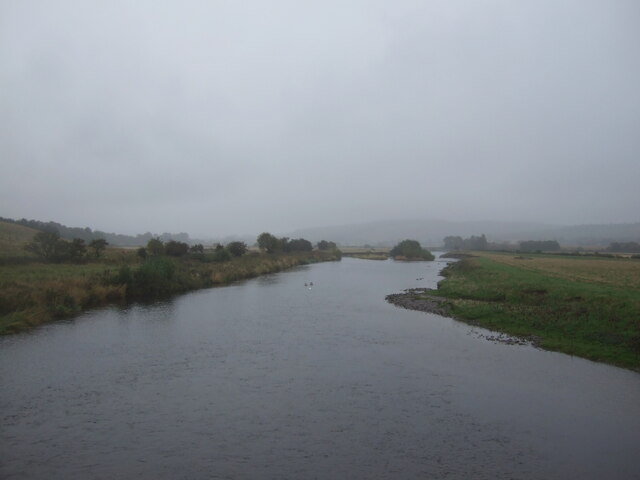
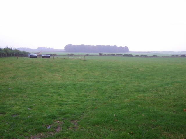
Boat Hole is a small freshwater marsh located in Roxburghshire, a historic county in the Scottish Borders region of Scotland. Situated near the village of Denholm, Boat Hole is a picturesque body of water that serves as a lake, pool, pond, and freshwater marsh all in one.
Covering an area of approximately 2 acres, Boat Hole is surrounded by lush vegetation and offers a serene and tranquil setting for visitors. The water in the marsh is primarily sourced from local rainfall and small streams, ensuring a constant flow of freshwater throughout the year.
The marsh is home to a diverse range of plant and animal species, making it a haven for nature enthusiasts. Common species found in the area include water lilies, reeds, and sedges, which provide essential habitat and food sources for various insects, birds, and amphibians.
The marsh also attracts a wide array of bird species, including ducks, swans, and herons, making it a popular spot for birdwatching. Visitors can often observe these birds gracefully gliding across the water or nesting in the surrounding wetlands.
Boat Hole offers opportunities for recreational activities such as fishing and boating. Anglers can try their luck at catching brown trout or salmon, while boaters can enjoy a peaceful paddle across the calm waters.
Overall, Boat Hole in Roxburghshire provides a beautiful and important habitat for a variety of plant and animal species, as well as a tranquil setting for visitors to enjoy nature and engage in recreational activities.
If you have any feedback on the listing, please let us know in the comments section below.
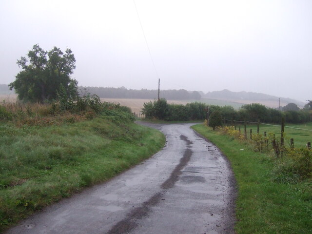
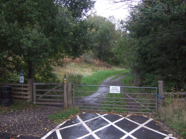
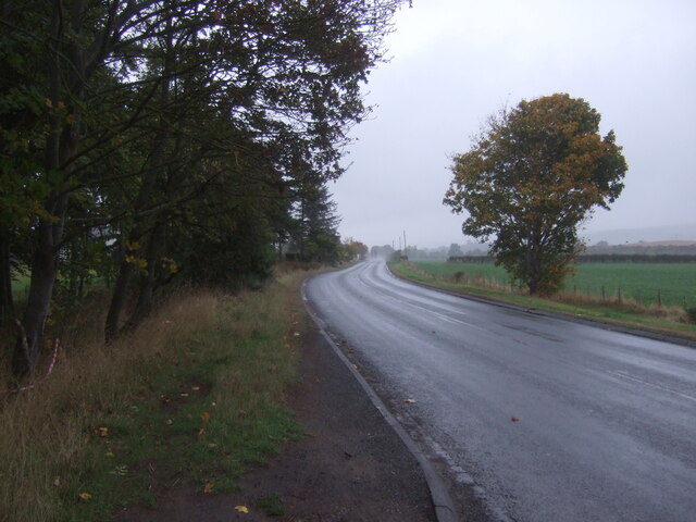
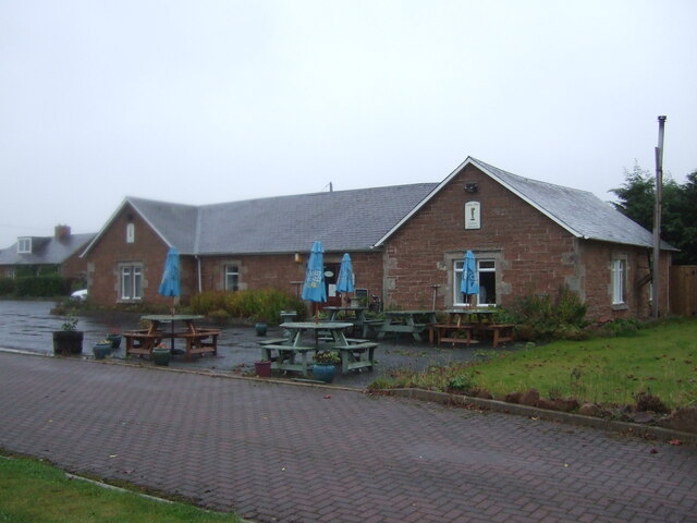
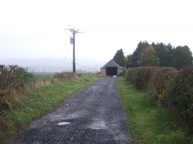
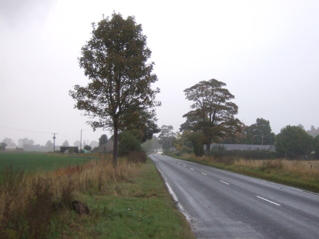
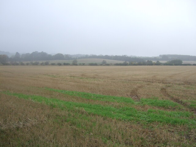
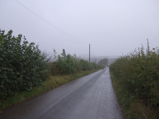
Boat Hole Images
Images are sourced within 2km of 55.520217/-2.522179 or Grid Reference NT6725. Thanks to Geograph Open Source API. All images are credited.


Boat Hole is located at Grid Ref: NT6725 (Lat: 55.520217, Lng: -2.522179)
Unitary Authority: The Scottish Borders
Police Authority: The Lothians and Scottish Borders
What 3 Words
///pony.convinces.moguls. Near Jedburgh, Scottish Borders
Nearby Locations
Related Wikis

Nisbet railway station
Nisbet railway station served the hamlet of Nisbet, Scottish Borders, Scotland from 1856 to 1948, on the Jedburgh Railway. == History == The station opened...

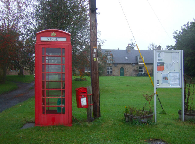
Nisbet, Scottish Borders
Nisbet is a small hamlet on the B6400, in Roxburghshire, along the River Teviot, in the Scottish Borders area of Scotland. It is located 5.5 kilometres...

Jed Water
The Jed Water is a river and a tributary of the River Teviot in the Borders region of Scotland. In total the Jed Water is over 21.75 miles (35.00 km) long...

Jedfoot railway station
Jedfoot railway station served the town of Jedburgh, Scottish Borders, Scotland from 1856 to 1948 on the Jedburgh Railway. == History == The station opened...

Waterloo Monument
The Waterloo Monument near Ancrum in the Scottish Borders is a 150-foot tower, built between 1817 and 1824 to commemorate the Battle of Waterloo. It was...

Peniel Heugh
Peniel Heugh (237 m) is a hill near Ancrum and Nisbet in the Scottish Borders area of Scotland. On it stands the Waterloo Monument. == Geology == The heugh...

Monteviot House
Monteviot House is the early 18th century home of the Marquess of Lothian, the politician better known as Michael Ancram. It is located on the River Teviot...

Bonjedward
Bonjedward (Scottish Gaelic: Bun Jedward) is a hamlet in the Scottish Borders area of Scotland, two miles north of Jedburgh where the Jed Water joins the...
Nearby Amenities
Located within 500m of 55.520217,-2.522179Have you been to Boat Hole?
Leave your review of Boat Hole below (or comments, questions and feedback).