Causeway Pool
Lake, Pool, Pond, Freshwater Marsh in Gloucestershire Forest of Dean
England
Causeway Pool
Causeway Pool is a picturesque freshwater lake located in Gloucestershire, England. Spanning an area of approximately 10 acres, this natural body of water is nestled within a serene and tranquil environment, making it a popular destination for nature enthusiasts and wildlife lovers alike.
The pool is characterized by its crystal-clear waters, which are fed by natural springs and small streams that flow into the lake. Surrounded by lush greenery and tall trees, Causeway Pool offers a peaceful and idyllic setting for visitors to relax and enjoy the beauty of nature.
The pool is home to a diverse range of flora and fauna, including various species of water plants, fish, and waterfowl. The abundance of aquatic vegetation provides a habitat for a variety of fish species, making it a haven for anglers seeking a peaceful fishing experience.
In addition to its natural beauty, Causeway Pool offers a range of recreational activities. Visitors can enjoy swimming or paddling in the pristine waters, or simply take a leisurely stroll along the well-maintained footpaths that surround the lake. There are also designated picnic areas where families and friends can gather to enjoy a meal amidst the tranquil surroundings.
Causeway Pool is easily accessible, with ample parking facilities available nearby. The pool is open to the public throughout the year, offering a serene and relaxing escape from the hustle and bustle of everyday life. Whether it's for a peaceful walk, a picnic, or a day of fishing, Causeway Pool is a haven of natural beauty and tranquility in the heart of Gloucestershire.
If you have any feedback on the listing, please let us know in the comments section below.
Causeway Pool Images
Images are sourced within 2km of 51.771292/-2.5980115 or Grid Reference SO5808. Thanks to Geograph Open Source API. All images are credited.


Causeway Pool is located at Grid Ref: SO5808 (Lat: 51.771292, Lng: -2.5980115)
Administrative County: Gloucestershire
District: Forest of Dean
Police Authority: Gloucestershire
What 3 Words
///common.swimsuits.grumbles. Near Coleford, Gloucestershire
Nearby Locations
Related Wikis

Ellwood, Gloucestershire
Ellwood is a hamlet in the Forest of Dean district in Gloucestershire, England. It lies around 3 kilometres (1.9 mi) south-east of Coleford. The hamlet...

Sling, Gloucestershire
Sling is a village in Gloucestershire, England. The village is located between Clearwell and Bream. It is just south of the village of Milkwall. ��2�...

Darkhill Ironworks
Darkhill Ironworks, and the neighbouring Titanic Steelworks, are internationally important industrial remains associated with the development of the iron...

Milkwall
Milkwall is a village in the Forest of Dean in Gloucestershire, England. It lies between the village of Sling to the south, and the town of Coleford to...

Gorsty Knoll
Gorsty Knoll is a small hamlet, located in the Forest of Dean, Gloucestershire, England. The internationally important remains of Darkhill Ironworks and...

Old Bow and Old Ham Mines
Old Bow And Old Ham Mines (grid reference SO579088) is a 40.3-hectare (100-acre) biological Site of Special Scientific Interest in Gloucestershire, notified...

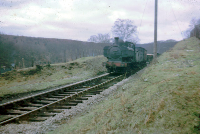
Milkwall railway station
Milkwall railway station is a disused station on the former Severn and Wye Railway. It served the village of Milkwall, Gloucestershire, England. The station...
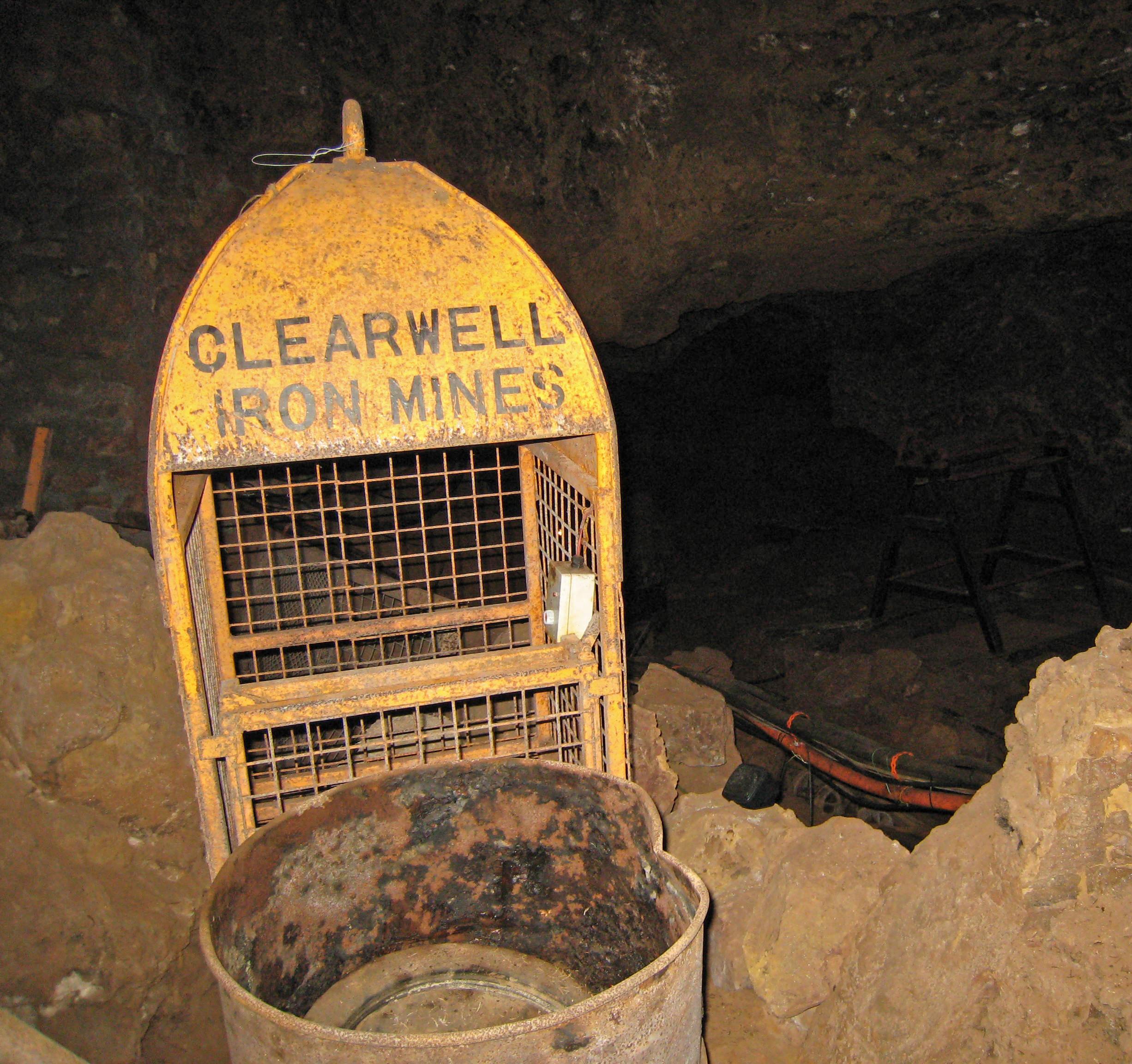
Clearwell Caves
Clearwell Caves, at Clearwell in the Forest of Dean, Gloucestershire, England, is a natural cave system which has been extensively mined for iron ore....
Nearby Amenities
Located within 500m of 51.771292,-2.5980115Have you been to Causeway Pool?
Leave your review of Causeway Pool below (or comments, questions and feedback).