Brigglebeck Pond
Lake, Pool, Pond, Freshwater Marsh in Cumberland Eden
England
Brigglebeck Pond
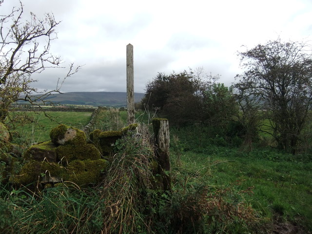
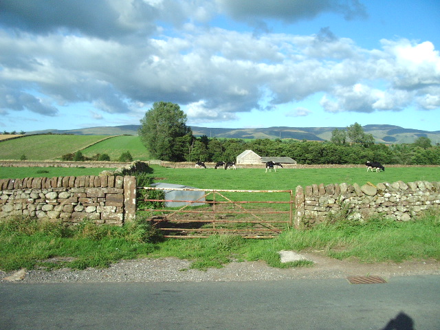
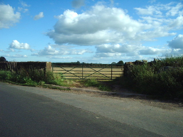
Brigglebeck Pond, located in Cumberland, is a picturesque freshwater marsh that offers a serene and natural setting for outdoor enthusiasts. Spanning an area of approximately 10 acres, this body of water serves as a vital habitat for a diverse range of flora and fauna.
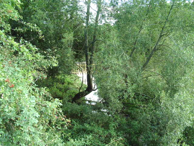
The pond is characterized by its calm and clear waters, which provide an ideal environment for various aquatic plants to flourish. Lush greenery surrounds the pond, with tall grasses, cattails, and water lilies adorning its edges. These plants not only enhance the aesthetic appeal of the pond but also provide shelter and food for numerous bird species, amphibians, and small mammals.
The pond is home to a thriving ecosystem, with a variety of fish species such as bass, trout, and perch inhabiting its depths. Anglers frequent the pond to indulge in recreational fishing, enjoying the challenge of catching these prized fish.
Brigglebeck Pond is a popular destination for nature lovers and birdwatchers. The surrounding marshland is a haven for migratory birds, providing them with a resting place during their long journeys. Visitors can spot a multitude of bird species, including herons, ducks, and egrets, as well as observe their fascinating behaviors in their natural habitat.
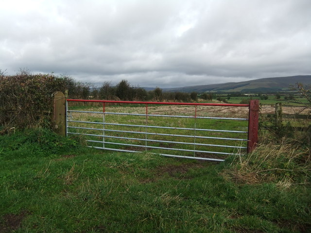
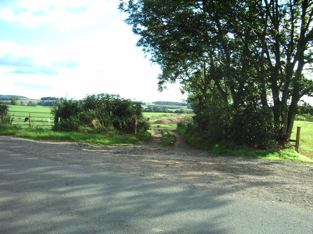
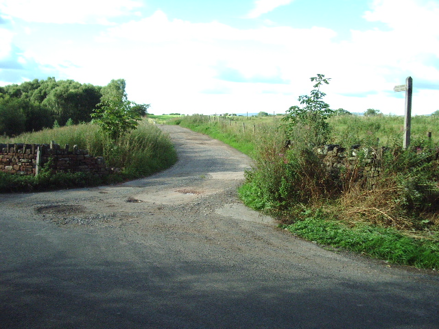
The pond is easily accessible to the public, with designated walking trails and observation points. Visitors can enjoy the peaceful ambiance of the area while immersing themselves in the beauty of nature. Whether it's fishing, birdwatching, or simply enjoying a leisurely stroll, Brigglebeck Pond offers a tranquil retreat for all to enjoy.
If you have any feedback on the listing, please let us know in the comments section below.
Brigglebeck Pond Images
Images are sourced within 2km of 54.695942/-2.6411656 or Grid Reference NY5833. Thanks to Geograph Open Source API. All images are credited.


Brigglebeck Pond is located at Grid Ref: NY5833 (Lat: 54.695942, Lng: -2.6411656)
Administrative County: Cumbria
District: Eden
Police Authority: Cumbria
What 3 Words
///infringe.speaks.taxpayers. Near Penrith, Cumbria
Nearby Locations
Related Wikis

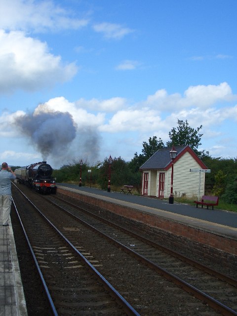
Langwathby railway station
Langwathby is a railway station on the Settle and Carlisle Line, which runs between Carlisle and Leeds via Settle. The station, situated 19 miles 59 chains...

Langwathby
Langwathby is a village and civil parish in northern Cumbria, and in the historic English county of Cumberland, about 5 miles (8 km) north east of Penrith...

Hunsonby
Hunsonby is a village and civil parish in the Eden district of Cumbria, England, 7 miles (11 km) north east of Penrith. The parish is located 28 miles...

Edenhall
Edenhall is a clustered village and former civil parish, now in the south-west of the parish of Langwathby, 800m to the north in the Westmorland and Furness...
St Cuthbert's Church, Edenhall
St Cuthbert's Church is located near the village of Edenhall, Cumbria, England. It is an active Anglican parish church in the deanery of Penrith, the...

Little Salkeld railway station
Little Salkeld was a railway station which served the village of Little Salkeld in Hunsonby parish and Great Salkeld, Cumbria, England. The Settle-Carlisle...

Skirwith
Skirwith is a village and former civil parish, now in the parish of Culgaith, in the Eden district, in the county of Cumbria, England. In 1931 the parish...

Little Salkeld
Little Salkeld is a small village and former civil parish, now in the parish of Hunsonby, in the Eden district of Cumbria, England, a few miles to the...
Nearby Amenities
Located within 500m of 54.695942,-2.6411656Have you been to Brigglebeck Pond?
Leave your review of Brigglebeck Pond below (or comments, questions and feedback).