Ellwood
Settlement in Gloucestershire Forest of Dean
England
Ellwood
Ellwood is a small village located in the Forest of Dean district of Gloucestershire, England. Situated on the western edge of the forest, it is surrounded by picturesque woodland and offers a tranquil setting for its residents and visitors alike.
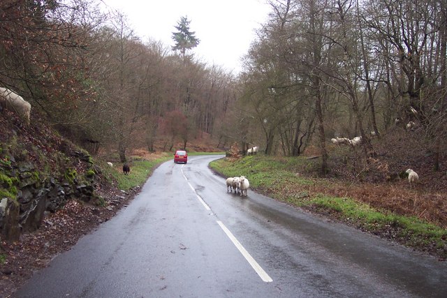
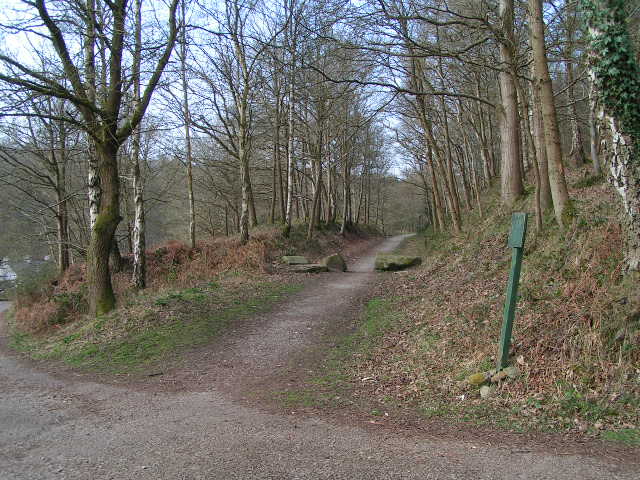
The village is known for its natural beauty, with numerous walking trails and nature reserves in the vicinity, making it a popular destination for outdoor enthusiasts and nature lovers. The nearby Cannop Ponds, a series of man-made lakes, provide opportunities for fishing and birdwatching.
Ellwood itself has a close-knit community and a range of local amenities. There is a village hall that hosts various events throughout the year, including community gatherings and social activities. The village also has a primary school, ensuring that families have access to education within the local area.
For those seeking a taste of history, Ellwood is home to St. Laurence's Church, a Grade II listed building dating back to the 19th century. The church's architecture and stained glass windows are worth exploring, offering glimpses into the area's past.
Ellwood is conveniently located near the town of Coleford, which provides additional amenities such as shops, restaurants, and a leisure center. The village is also within easy reach of the A4136 road, providing good connections to other parts of Gloucestershire and the wider region.
Overall, Ellwood is a charming village nestled within the beauty of the Forest of Dean, offering a peaceful and picturesque retreat for both residents and visitors.
If you have any feedback on the listing, please let us know in the comments section below.
Ellwood Images
Images are sourced within 2km of 51.769564/-2.597046 or Grid Reference SO5808. Thanks to Geograph Open Source API. All images are credited.


Ellwood is located at Grid Ref: SO5808 (Lat: 51.769564, Lng: -2.597046)
Administrative County: Gloucestershire
District: Forest of Dean
Police Authority: Gloucestershire
What 3 Words
///victor.linen.brotherly. Near Bream, Gloucestershire
Nearby Locations
Related Wikis

Ellwood, Gloucestershire
Ellwood is a hamlet in the Forest of Dean district in Gloucestershire, England. It lies around 3 kilometres (1.9 mi) south-east of Coleford. The hamlet...

Sling, Gloucestershire
Sling is a village in Gloucestershire, England. The village is located between Clearwell and Bream. It is just south of the village of Milkwall. ��2�...

Darkhill Ironworks
Darkhill Ironworks, and the neighbouring Titanic Steelworks, are internationally important industrial remains associated with the development of the iron...

Milkwall
Milkwall is a village in the Forest of Dean in Gloucestershire, England. It lies between the village of Sling to the south, and the town of Coleford to...
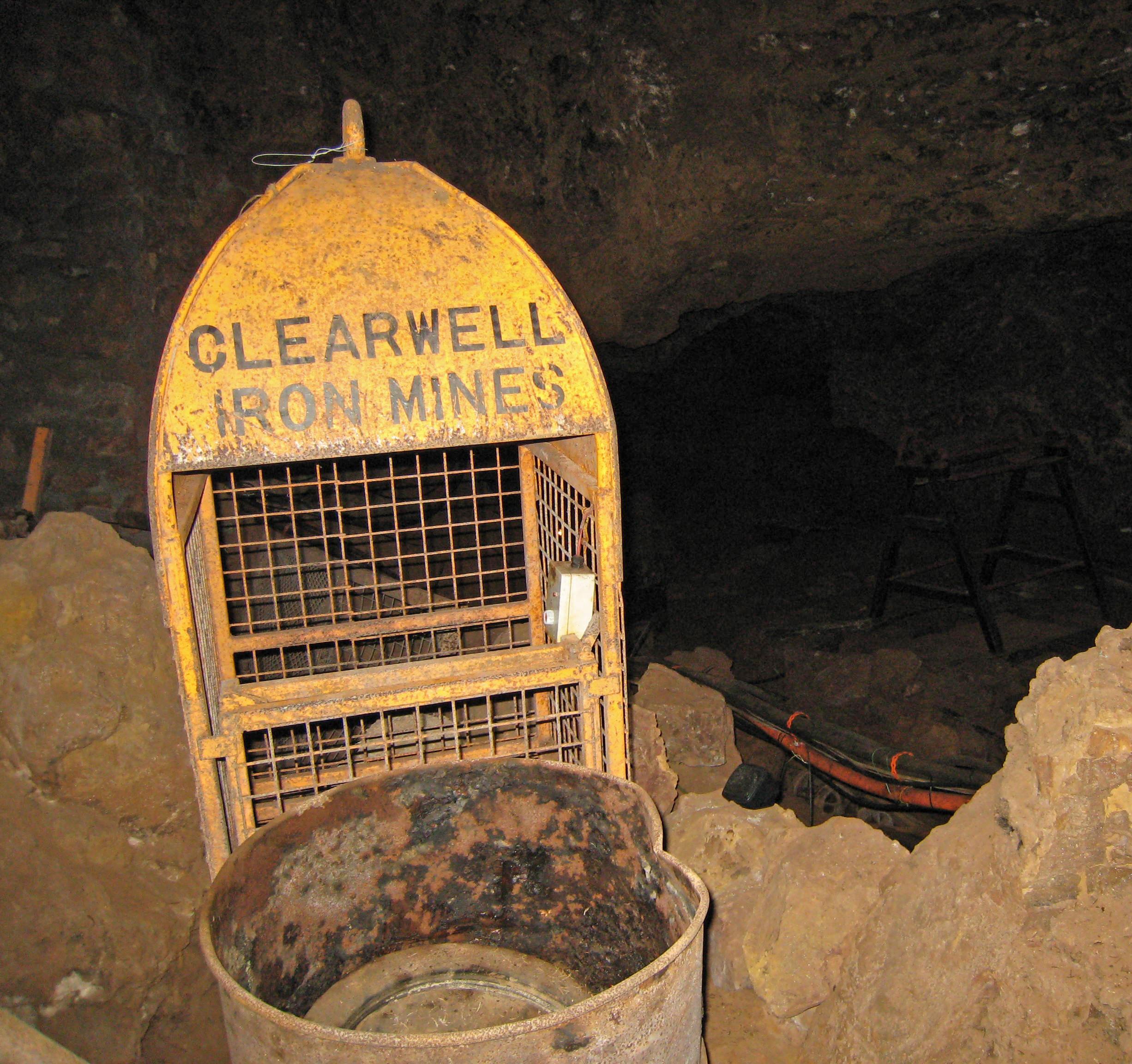
Clearwell Caves
Clearwell Caves, at Clearwell in the Forest of Dean, Gloucestershire, England, is a natural cave system which has been extensively mined for iron ore....

Old Bow and Old Ham Mines
Old Bow And Old Ham Mines (grid reference SO579088) is a 40.3-hectare (100-acre) biological Site of Special Scientific Interest in Gloucestershire, notified...

Gorsty Knoll
Gorsty Knoll is a small hamlet, located in the Forest of Dean, Gloucestershire, England. The internationally important remains of Darkhill Ironworks and...

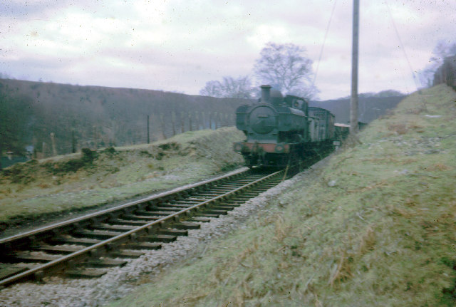
Milkwall railway station
Milkwall railway station is a disused station on the former Severn and Wye Railway. It served the village of Milkwall, Gloucestershire, England. The station...
Nearby Amenities
Located within 500m of 51.769564,-2.597046Have you been to Ellwood?
Leave your review of Ellwood below (or comments, questions and feedback).