Elm
Settlement in Cambridgeshire Fenland
England
Elm
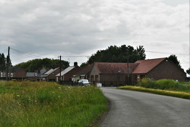
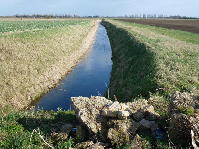
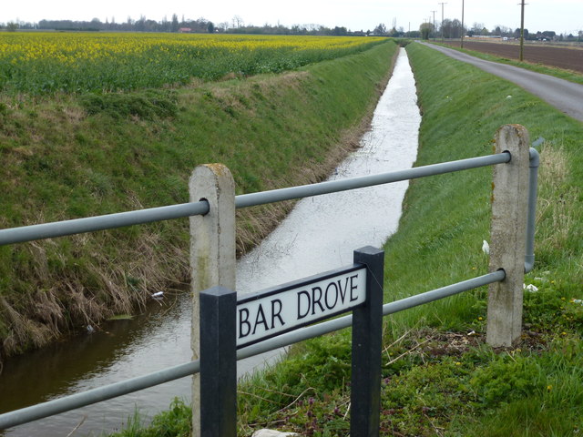
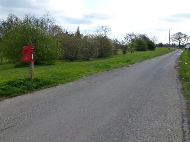
Elm is a small village located in the county of Cambridgeshire, England. Situated approximately 3 miles east of Wisbech, Elm is known for its picturesque countryside and charming rural atmosphere. The village is surrounded by agricultural land, with fields of crops and grazing livestock adding to its scenic beauty.
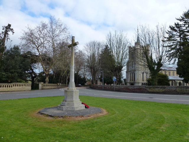
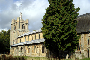
Elm has a rich history, dating back to the medieval times. Its name is believed to derive from the Elm trees that once populated the area. Today, the village retains much of its historical charm, with several well-preserved buildings and structures. St. Peter's Church, a Grade I listed building, is a prominent landmark in the village, featuring a Norman tower and beautiful stained-glass windows.
The village offers a range of amenities to its residents and visitors. There is a local primary school, providing education to the younger population. Elm also has a village hall, which serves as a community center and hosts various events and activities throughout the year.
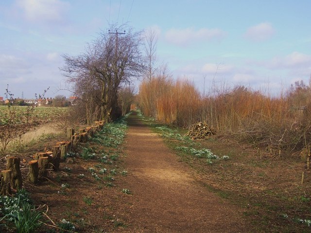
For nature enthusiasts, Elm is an ideal destination. The nearby Elm Low Nature Reserve, managed by the Wildlife Trust, provides opportunities for wildlife observation and peaceful walks along its nature trails. The reserve is home to a diverse range of plant and animal species, making it a haven for nature lovers.
Overall, Elm, Cambridgeshire offers a peaceful and idyllic rural setting, with its historical landmarks and natural beauty attracting visitors seeking a serene escape from the hustle and bustle of city life.
If you have any feedback on the listing, please let us know in the comments section below.
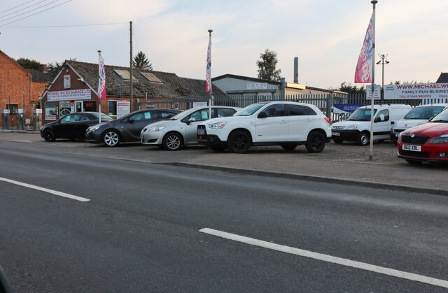
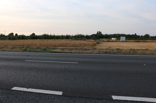
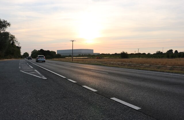
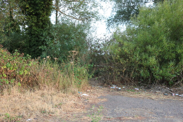
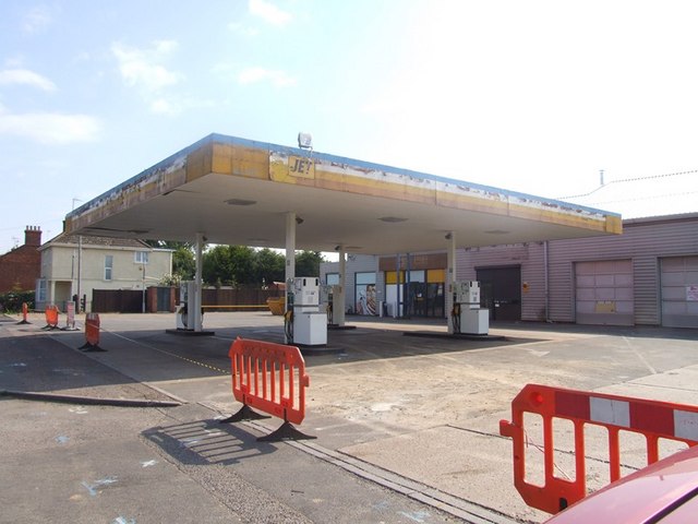
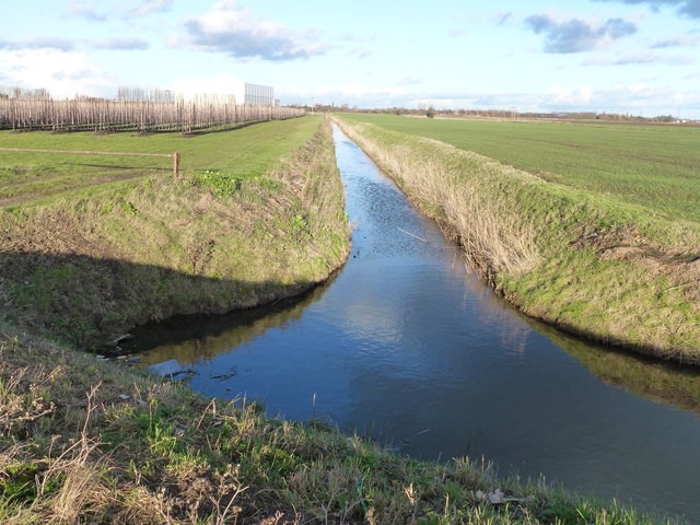
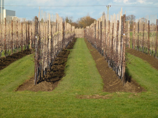
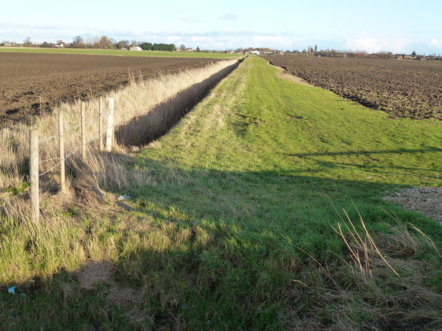
Elm Images
Images are sourced within 2km of 52.639581/0.170056 or Grid Reference TF4606. Thanks to Geograph Open Source API. All images are credited.

Elm is located at Grid Ref: TF4606 (Lat: 52.639581, Lng: 0.170056)
Division: Isle of Ely
Administrative County: Cambridgeshire
District: Fenland
Police Authority: Cambridgeshire
What 3 Words
///crows.cheetahs.boxer. Near Emneth, Norfolk
Nearby Locations
Related Wikis
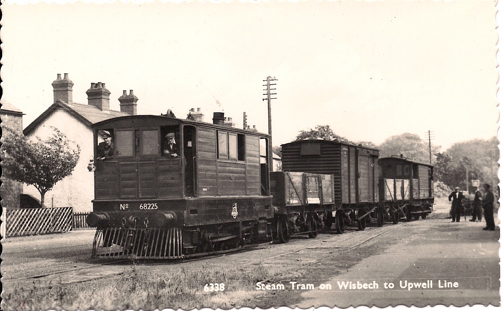
Wisbech and Upwell Tramway
The Wisbech and Upwell Tramway was a rural standard gauge tramway in East Anglia. It was built by the Great Eastern Railway between Wisbech, Isle of Ely...

Elmbridge railway station
Elmbridge railway station was a stop on the Wisbech and Upwell Tramway. It was in a projection of the parish of Emneth, Norfolk but was immediately south...
Elm, Cambridgeshire
Elm is a village and civil parish in the Fenland District of Cambridgeshire, England. In Domesday, it is called Helle.The village is about 11⁄2 miles or...

Collett's Bridge
Collett's Bridge is a hamlet within the parish of Elm in the Isle of Ely, Cambridgeshire, England. It is situated on the eastern boundary of the district...
Thomas Clarkson Academy
Thomas Clarkson Academy is a mixed secondary school and sixth form located in Wisbech, Cambridgeshire, England. A new school building has been constructed...
Walsoken railway station
Walsoken railway station was located on the line between Wisbech East and Emneth. It served the village and parish of Walsoken in Norfolk, England, and...
Friday Bridge, Cambridgeshire
Friday Bridge is a village in the civil parish of Elm, in the Fenland district of Cambridgeshire, England. It is 3 miles south of Wisbech. In 2021 it had...

Wisbech East railway station
Wisbech East was a railway station in Wisbech, Cambridgeshire. It was opened in 1848 and became part of the Great Eastern Railway network, providing connections...
Nearby Amenities
Located within 500m of 52.639581,0.170056Have you been to Elm?
Leave your review of Elm below (or comments, questions and feedback).