Wales Field
Downs, Moorland in Cambridgeshire Fenland
England
Wales Field
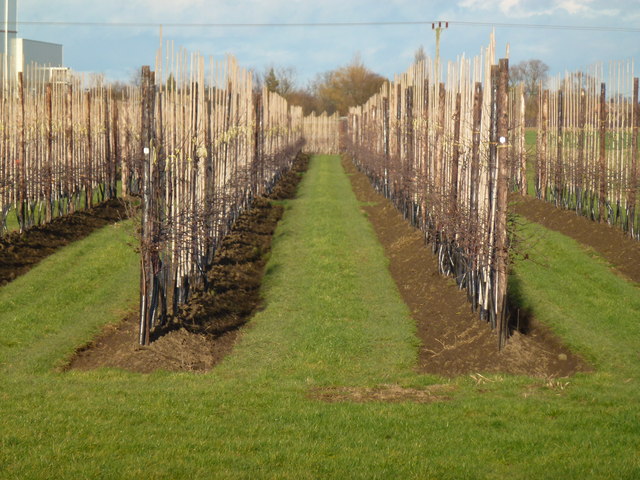
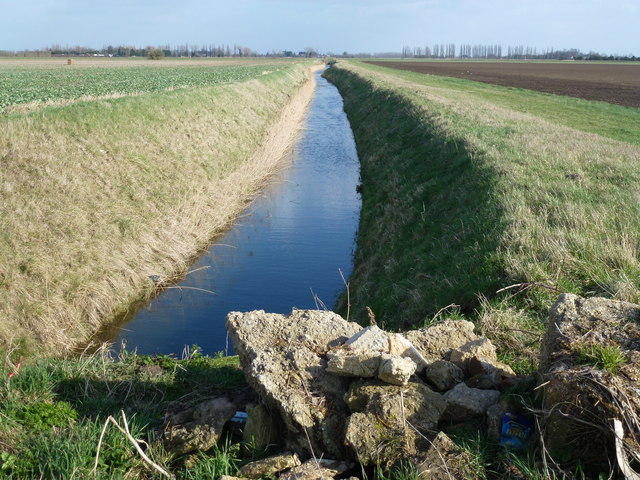
Wales Field, located in Cambridgeshire, England, is a picturesque area known for its diverse landscape encompassing downs and moorland. Spread across approximately 100 acres, this captivating field offers visitors a unique and immersive experience in the heart of nature.
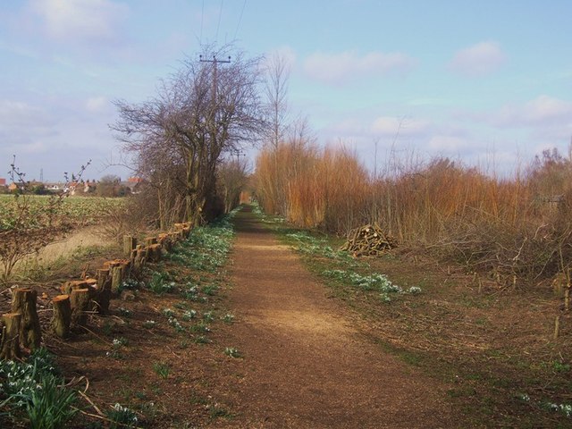
The downs section of Wales Field is characterized by its rolling hills and vast open spaces. Visitors can enjoy breathtaking panoramic views of the surrounding countryside, with its lush greenery and scattered wildflowers. The undulating terrain provides excellent opportunities for hiking, horseback riding, and picnicking, attracting outdoor enthusiasts of all ages.
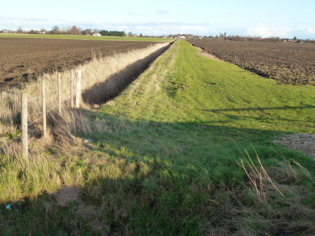
Adjacent to the downs, the moorland area of Wales Field offers a contrasting landscape with its expansive heathland and diverse flora and fauna. This section is known for its rich biodiversity, including rare plant species and unique wildlife. Birdwatchers will be delighted by the presence of various avian species, such as skylarks, meadow pipits, and curlews.
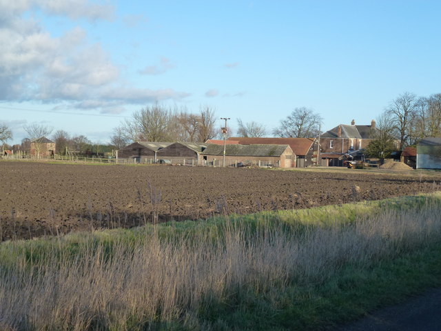
Wales Field is not only a haven for nature lovers but also holds historical and cultural significance. The area is dotted with ancient archaeological sites, including burial mounds and remnants of Iron Age settlements, providing a glimpse into the region's past. Additionally, the field hosts occasional events and festivals, celebrating local traditions and fostering a sense of community.
Whether one seeks solitude, adventure, or an opportunity to connect with nature, Wales Field in Cambridgeshire offers a captivating and diverse experience for all who visit.
If you have any feedback on the listing, please let us know in the comments section below.
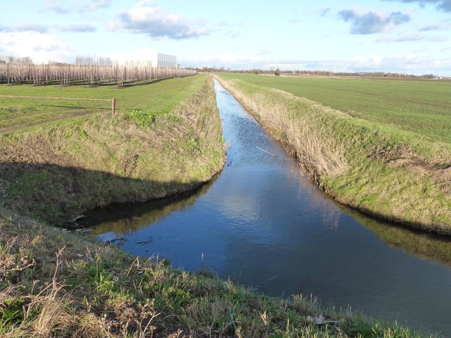
Wales Field Images
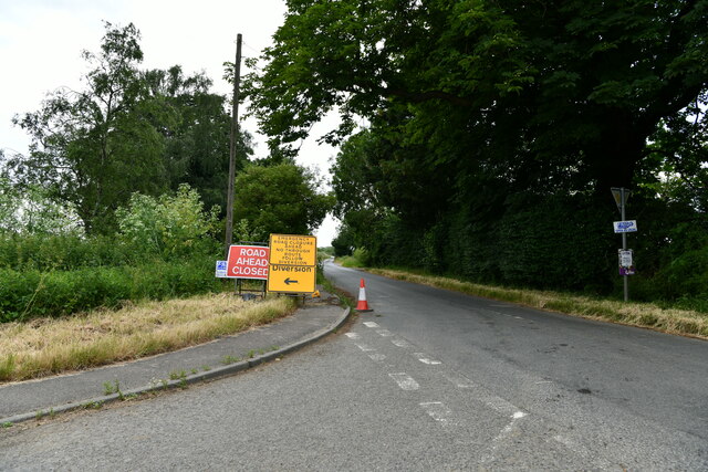
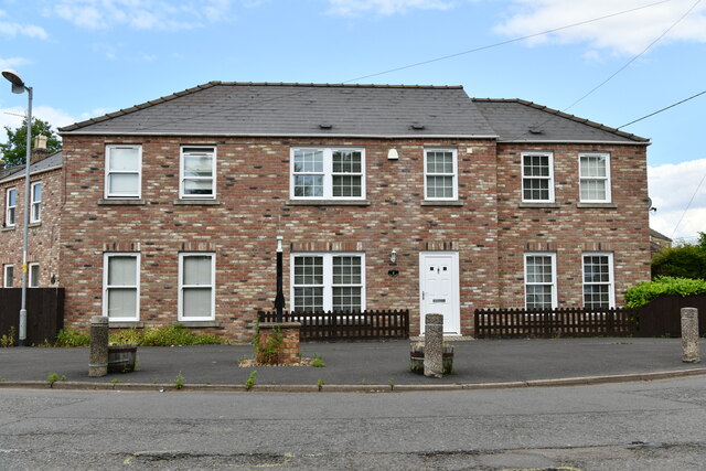
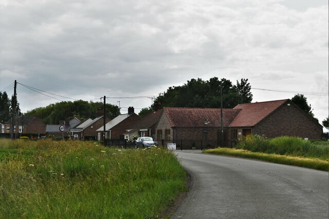
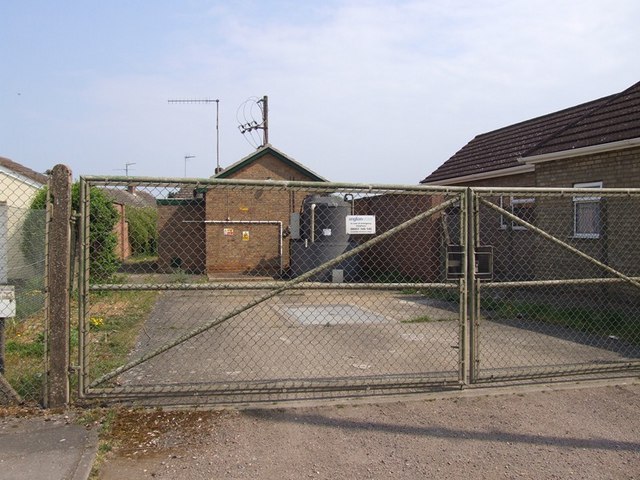
Images are sourced within 2km of 52.636777/0.16233085 or Grid Reference TF4606. Thanks to Geograph Open Source API. All images are credited.
Wales Field is located at Grid Ref: TF4606 (Lat: 52.636777, Lng: 0.16233085)
Division: Isle of Ely
Administrative County: Cambridgeshire
District: Fenland
Police Authority: Cambridgeshire
What 3 Words
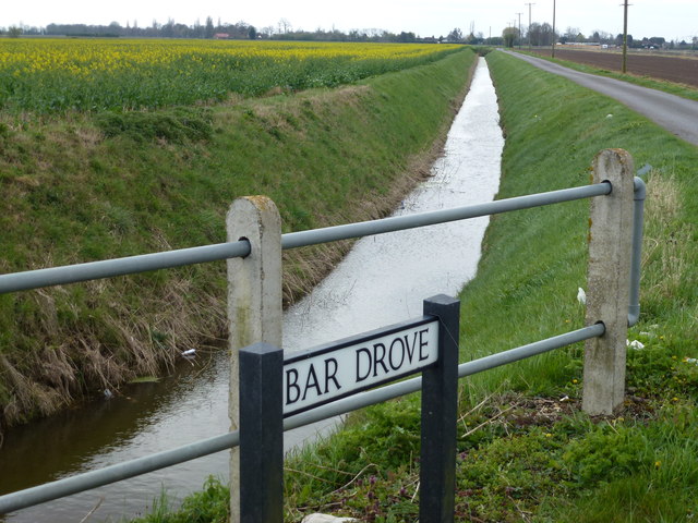
///just.sleeps.snooping. Near Emneth, Norfolk
Nearby Locations
Related Wikis
Elm, Cambridgeshire
Elm is a village and civil parish in the Fenland District of Cambridgeshire, England. In Domesday, it is called Helle.The village is about 11⁄2 miles or...

Begdale
Begdale is a hamlet between Wisbech, Elm and Friday Bridge in Cambridgeshire, England. == References ==
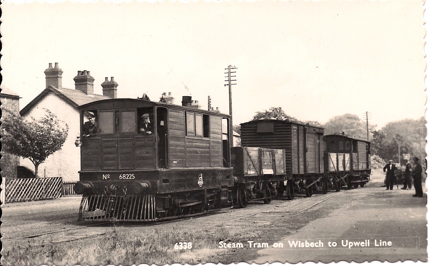
Wisbech and Upwell Tramway
The Wisbech and Upwell Tramway was a rural standard gauge tramway in East Anglia. It was built by the Great Eastern Railway between Wisbech, Isle of Ely...

Elmbridge railway station
Elmbridge railway station was a stop on the Wisbech and Upwell Tramway. It was in a projection of the parish of Emneth, Norfolk but was immediately south...
Friday Bridge, Cambridgeshire
Friday Bridge is a village in the civil parish of Elm, in the Fenland district of Cambridgeshire, England. It is 3 miles south of Wisbech. In 2021 it had...
Collett's Bridge
Collett's Bridge is a hamlet within the parish of Elm in the Isle of Ely, Cambridgeshire, England. It is situated on the eastern boundary of the district...
Thomas Clarkson Academy
Thomas Clarkson Academy is a mixed secondary school and sixth form located in Wisbech, Cambridgeshire, England. A new school building has been constructed...

Wisbech East railway station
Wisbech East was a railway station in Wisbech, Cambridgeshire. It was opened in 1848 and became part of the Great Eastern Railway network, providing connections...
Nearby Amenities
Located within 500m of 52.636777,0.16233085Have you been to Wales Field?
Leave your review of Wales Field below (or comments, questions and feedback).