General's Stream
Lake, Pool, Pond, Freshwater Marsh in Roxburghshire
Scotland
General's Stream
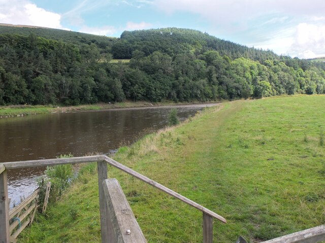
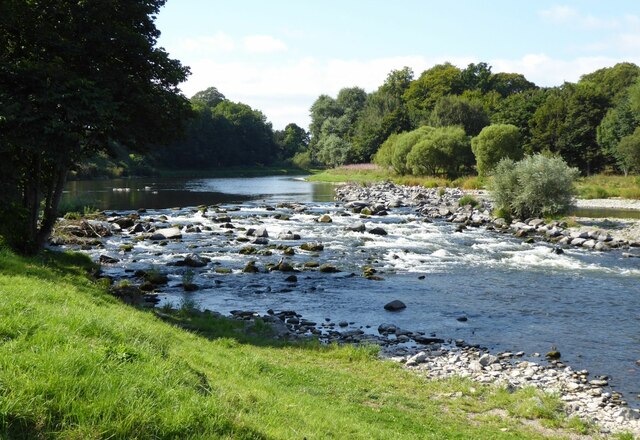
General's Stream is a serene freshwater marsh located in Roxburghshire, a beautiful region in the Scottish Borders. Nestled amidst rolling hills and verdant landscapes, this tranquil water body is known for its picturesque beauty and diverse ecosystem. It is often referred to as a lake, pool, or pond due to its calm and placid nature.
Covering an area of approximately 2 hectares, General's Stream is surrounded by lush vegetation, including reeds, grasses, and a variety of wildflowers. The marsh serves as a vital habitat for numerous species of plants, insects, birds, and aquatic animals. Its shallow waters and muddy substrate make it an ideal breeding ground for amphibians such as frogs and newts.
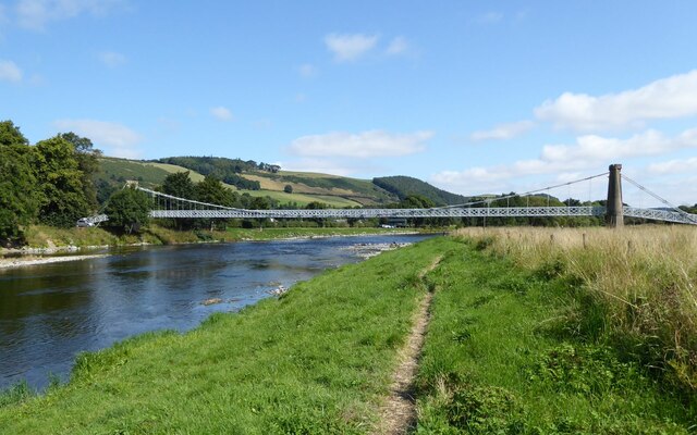
The stream itself is fed by natural springs and rainfall, ensuring a constant flow of freshwater throughout the year. The crystal-clear water reflects the surrounding landscape, creating a mesmerizing sight for visitors. The gentle babbling sound of the stream further enhances the soothing ambiance of the area.
General's Stream is a popular spot for nature enthusiasts, birdwatchers, and photographers. The marsh attracts a wide range of bird species, including ducks, herons, and kingfishers, making it an excellent location for birdwatching. Visitors can also spot dragonflies and butterflies fluttering around the marsh, adding a touch of color to the scenery.
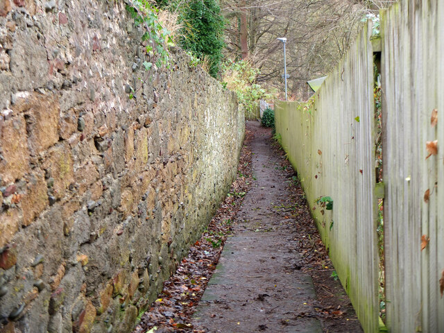
The surrounding area offers several walking trails, providing visitors with the opportunity to explore the marsh and its surroundings. General's Stream is a true haven of tranquility, where visitors can escape the hustle and bustle of everyday life and immerse themselves in the beauty of nature.
If you have any feedback on the listing, please let us know in the comments section below.
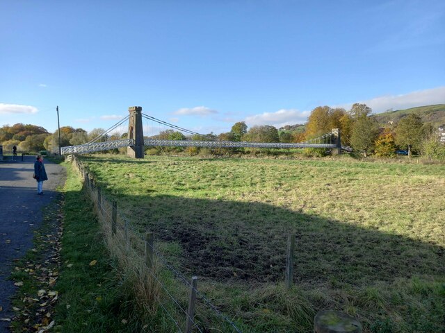
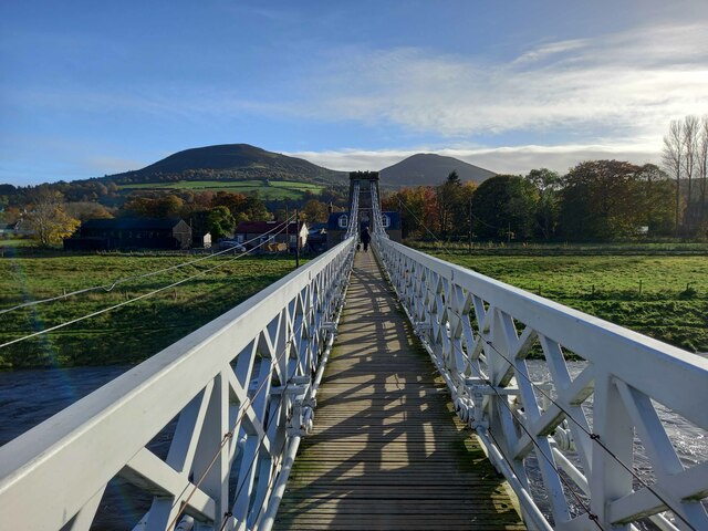
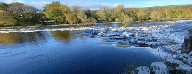
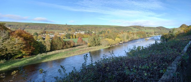
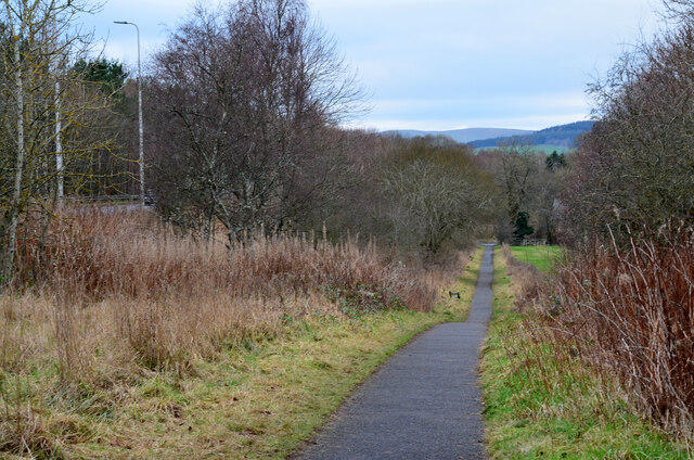
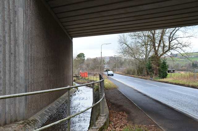
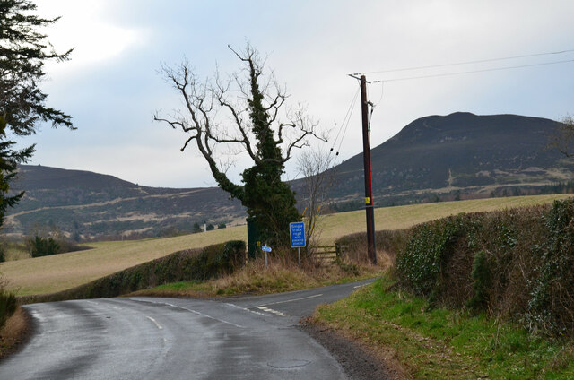
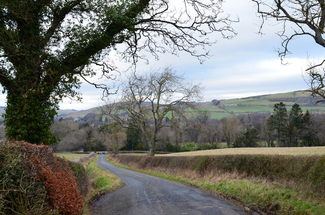
General's Stream Images
Images are sourced within 2km of 55.603596/-2.7338725 or Grid Reference NT5334. Thanks to Geograph Open Source API. All images are credited.


General's Stream is located at Grid Ref: NT5334 (Lat: 55.603596, Lng: -2.7338725)
Unitary Authority: The Scottish Borders
Police Authority: The Lothians and Scottish Borders
What 3 Words
///gown.kilt.rumbles. Near Melrose, Scottish Borders
Nearby Locations
Related Wikis

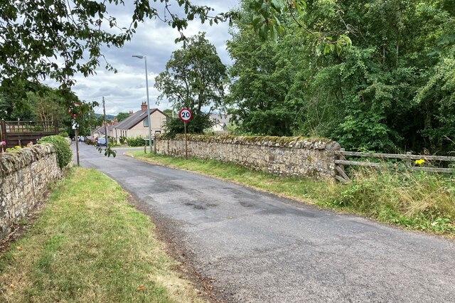
Gattonside
Gattonside is a small village in the Scottish Borders. It is located 1 kilometre (0.62 mi) north of Melrose, on the north side of the River Tweed. In 1143...

Melrose, Scottish Borders
Melrose (Scottish Gaelic: Maolros, "bald moor") is a town and civil parish in the Scottish Borders, historically in Roxburghshire. It lies within the Eildon...

St. Mary's School, Melrose
St. Mary's School is a private, co-educational, day and boarding prep school in Melrose, Scotland. As of 2015 there are 190 pupils; 97 boys and 93 girls...

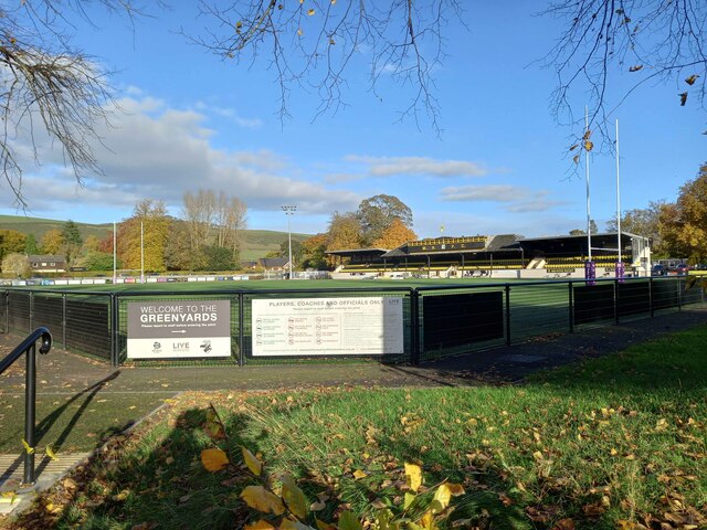
Greenyards
The Greenyards is a sports ground in Melrose, Scottish Borders. It has been the home of Melrose RFC for rugby union matches and the annual Melrose Sevens...
Nearby Amenities
Located within 500m of 55.603596,-2.7338725Have you been to General's Stream?
Leave your review of General's Stream below (or comments, questions and feedback).