Boatshiel Pool
Lake, Pool, Pond, Freshwater Marsh in Roxburghshire
Scotland
Boatshiel Pool
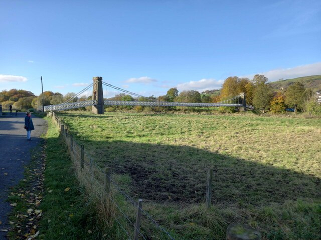
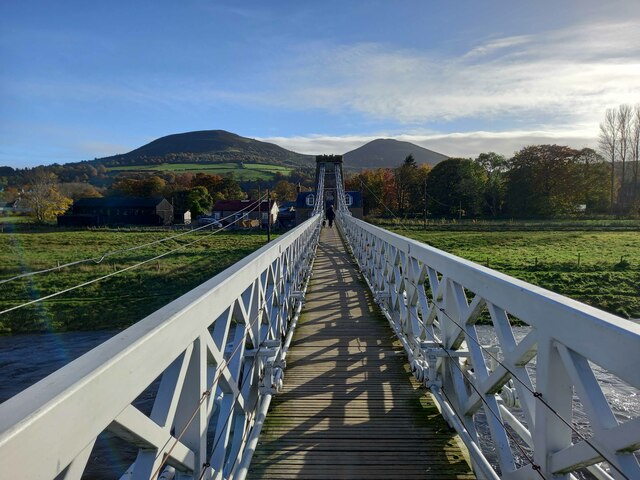
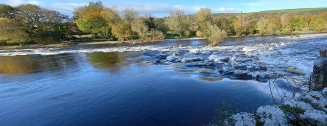
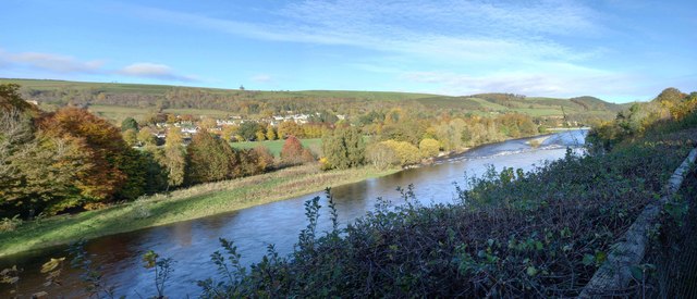
Boatshiel Pool is a picturesque freshwater marsh located in Roxburghshire, Scotland. This tranquil body of water is nestled amidst the stunning natural beauty of the Scottish Borders. The pool covers an area of approximately 10 acres and is surrounded by lush greenery and rolling hills, creating a serene and idyllic setting.
The pool is fed by several small streams and springs, ensuring a constant flow of fresh water. It is home to a diverse range of aquatic plant life, including beautiful water lilies and reeds that line its banks. These plants provide essential habitat for a variety of wildlife species.
Boatshiel Pool is a haven for birdwatchers, as it attracts a wide array of avian species throughout the year. Visitors may spot graceful swans, majestic herons, and elegant ducks gliding across the water's surface. The pool also serves as a breeding ground for several species of waterfowl, adding to its ecological significance.
The pool's tranquil atmosphere and natural beauty make it a popular destination for nature enthusiasts and photographers. Many visitors enjoy leisurely walks around its perimeter, taking in the serene surroundings and capturing the stunning landscape in photographs.
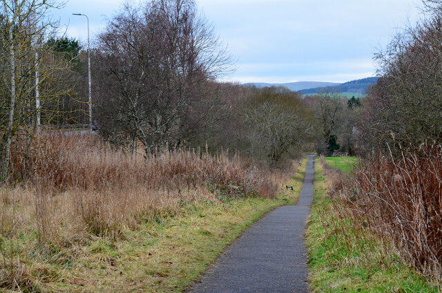
Boatshiel Pool is easily accessible, with nearby parking facilities and well-maintained walking trails. It offers a peaceful retreat away from the hustle and bustle of everyday life, where visitors can connect with nature and experience the tranquility of this hidden gem in Roxburghshire.
If you have any feedback on the listing, please let us know in the comments section below.
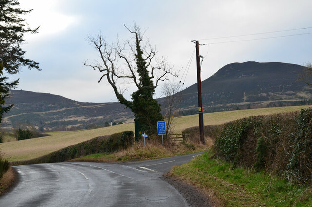
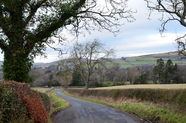
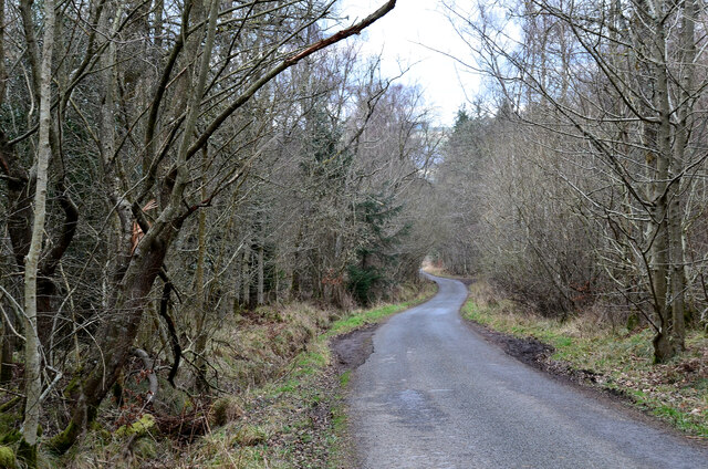
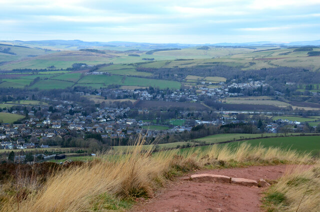
Boatshiel Pool Images
Images are sourced within 2km of 55.605371/-2.7449847 or Grid Reference NT5334. Thanks to Geograph Open Source API. All images are credited.

Boatshiel Pool is located at Grid Ref: NT5334 (Lat: 55.605371, Lng: -2.7449847)
Unitary Authority: The Scottish Borders
Police Authority: The Lothians and Scottish Borders
What 3 Words
///speeding.amending.roof. Near Melrose, Scottish Borders
Nearby Locations
Related Wikis

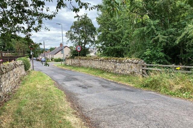
Darnick
Darnick is a village near Melrose in the Scottish Borders area of Scotland, in the former Roxburghshire. The name was first recorded in 1124, and has changed...

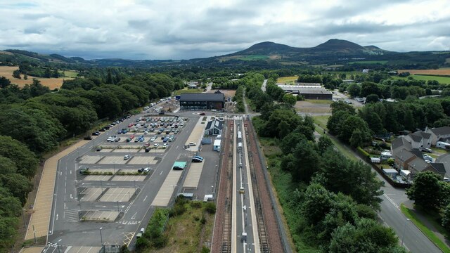
Tweedbank railway station
Tweedbank is a railway station on the Borders Railway, which runs between Edinburgh Waverley and Tweedbank. The station, situated 35 miles 34 chains (57...

Borders General Hospital
Borders General Hospital (BGH) is a district general hospital on the outskirts of Melrose, Scotland. It is managed by NHS Borders. == History == The hospital...

Melrose, Scottish Borders
Melrose (Scottish Gaelic: Maolros, "bald moor") is a town and civil parish in the Scottish Borders, historically in Roxburghshire. It lies within the Eildon...

St. Mary's School, Melrose
St. Mary's School is a private, co-educational, day and boarding prep school in Melrose, Scotland. As of 2015 there are 190 pupils; 97 boys and 93 girls...

Gattonside
Gattonside is a small village in the Scottish Borders. It is located 1 kilometre (0.62 mi) north of Melrose, on the north side of the River Tweed. In 1143...

Tweedbank
Tweedbank is a large village south-east of Galashiels in the Scottish Borders, Scotland. It is part of the county of Roxburghshire. It is an outer suburb...

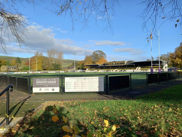
Greenyards
The Greenyards is a sports ground in Melrose, Scottish Borders. It has been the home of Melrose RFC for rugby union matches and the annual Melrose Sevens...
Nearby Amenities
Located within 500m of 55.605371,-2.7449847Have you been to Boatshiel Pool?
Leave your review of Boatshiel Pool below (or comments, questions and feedback).