Kerr's Shot

Lake, Pool, Pond, Freshwater Marsh in Roxburghshire

Scotland

Kerr's Shot

Footbridge across the River Tweed
Footbridge across the River Tweed Credit: Les Hull

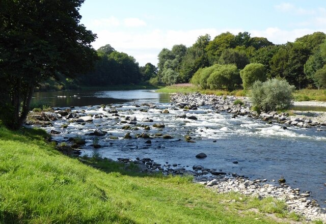
Kerr's Shot, located in Roxburghshire, is a picturesque freshwater marsh nestled amidst the rolling hills of Scotland. This natural wonder encompasses a diverse ecosystem, comprising a lake, a pool, a pond, and a freshwater marsh.

The centerpiece of Kerr's Shot is its serene lake, a tranquil body of water that stretches over an area of approximately 10 acres. The lake is fed by several streams and springs, ensuring a constant flow of fresh water. Its crystal-clear waters provide a home for numerous species of fish, including trout and perch, attracting avid anglers and nature enthusiasts alike.

Adjacent to the lake is a smaller pool, which serves as a haven for local wildlife. It is a popular spot for birdwatchers, as it attracts a wide variety of waterfowl, including ducks, geese, and swans. Nature lovers can also spot other indigenous species such as otters and beavers, which are known to frequent the area.

A charming pond is found within the marsh, offering a sanctuary for amphibians and insects. Its still waters provide a breeding ground for frogs, toads, and various aquatic insects, contributing to the overall biodiversity of the region.

The freshwater marsh surrounding these water bodies is a vibrant ecosystem teeming with life. It features a lush carpet of aquatic plants, reeds, and sedges, creating an ideal habitat for a plethora of flora and fauna. The marsh acts as a natural filter, purifying the water and providing essential habitat for a range of insects, birds, and small mammals.

Kerr's Shot is a true oasis of natural beauty, offering visitors a chance to immerse themselves in the wonders of Scotland's diverse wildlife and stunning landscapes.

If you have any feedback on the listing, please let us know in the comments section below.
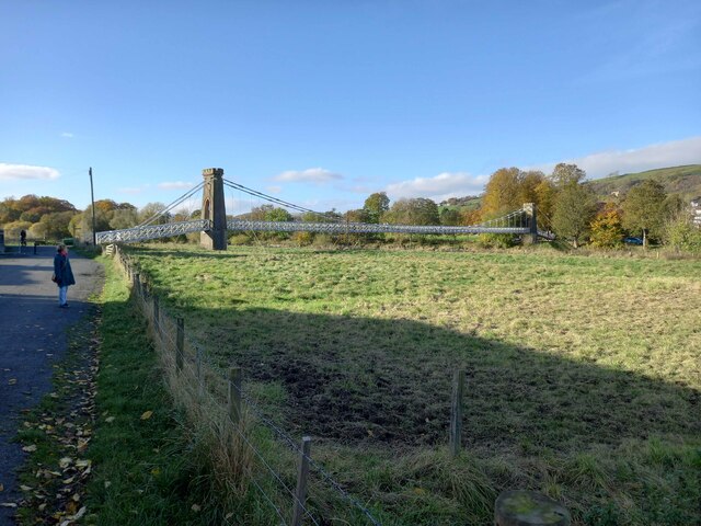
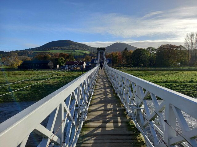
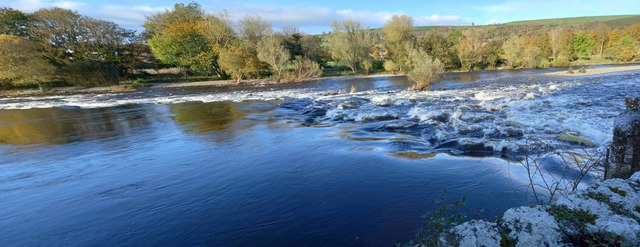
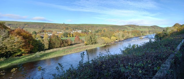
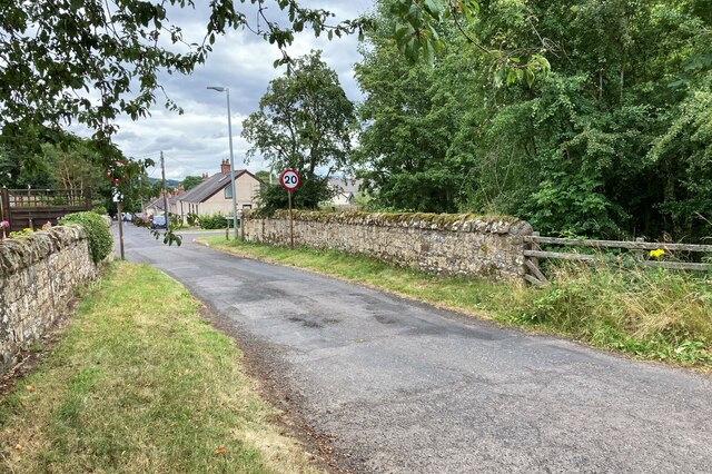
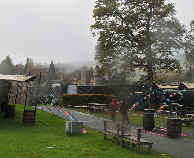
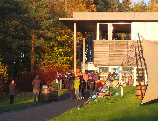
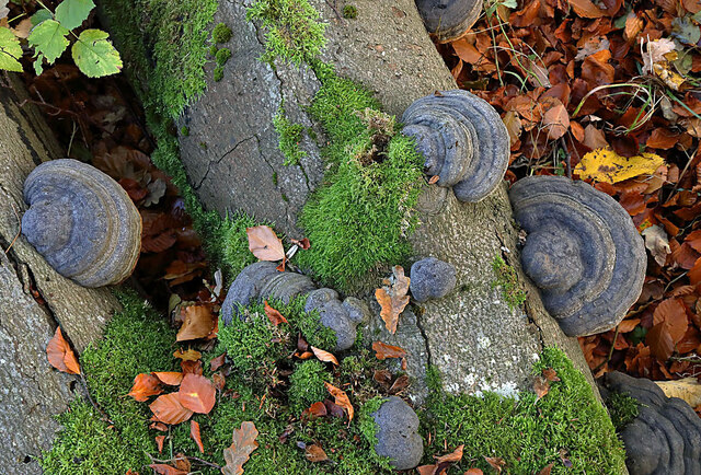
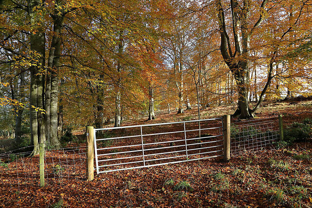
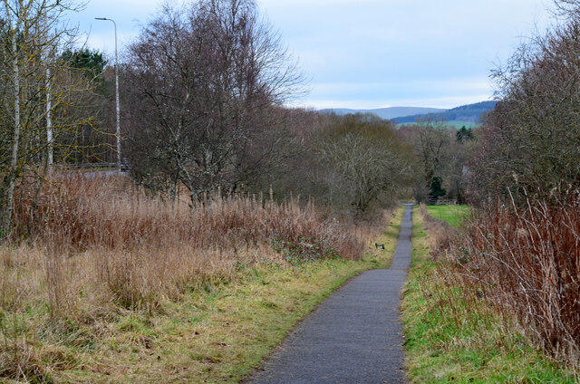
Kerr's Shot Images

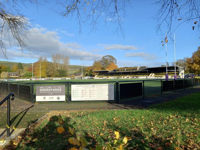
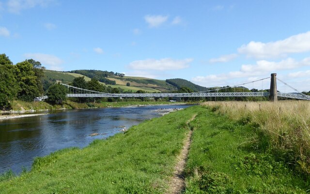
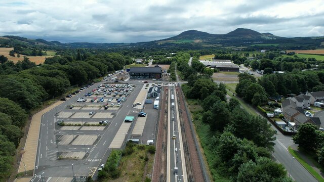
Images are sourced within 2km of 55.605604/-2.750989 or Grid Reference NT5234. Thanks to Geograph Open Source API. All images are credited.

Footbridge across the River Tweed
Footbridge across the River Tweed Eildon Hill in the background
Footbridge across the River Tweed
Eildon Hill in the background
River Tweed at Melrose Site of a weir which I think might have  been damaged.
River Tweed at Melrose
Site of a weir which I think might have been damaged.
View of River Tweed Village of Gattonside and distant hills.
View of River Tweed
Village of Gattonside and distant hills.
Melrose Rugby Union Ground
Derelict weir on River Tweed A lade, just to the left of the image, carried water to the abbey some 500 m to the east.
Derelict weir on River Tweed
A lade, just to the left of the image, carried water to the abbey some 500 m to the east.
Melrose, Gattonside Suspension Footbridge Tolls had to be paid to cross the new bridge over the River Tweed, which joined the communities of Melrose and Gattonside. Constructed in 1826, it is a footbridge with iron-link suspension chains, iron rods as vertical suspenders and a wooden deck.
Melrose, Gattonside Suspension Footbridge
Tolls had to be paid to cross the new bridge over the River Tweed, which joined the communities of Melrose and Gattonside. Constructed in 1826, it is a footbridge with iron-link suspension chains, iron rods as vertical suspenders and a wooden deck.
Tweedbank station An aerial view over Tweedbank station looking towards Melrose.

Forms part of Railway Routes Blogpost <span class="nowrap"><a title="https://tinyurl.com/e94tw557" rel="nofollow ugc noopener" href="https://tinyurl.com/e94tw557">Link</a><img style="margin-left:2px;" alt="External link" title="External link - shift click to open in new window" src="https://s1.geograph.org.uk/img/external.png" width="10" height="10"/></span>
Tweedbank station
An aerial view over Tweedbank station looking towards Melrose. Forms part of Railway Routes Blogpost LinkExternal link
Tweedbank station Aerial view of Tweedbank station which forms part of "Railway Routes" BlogPost <span class="nowrap"><a title="https://tinyurl.com/e94tw557" rel="nofollow ugc noopener" href="https://tinyurl.com/e94tw557">Link</a><img style="margin-left:2px;" alt="External link" title="External link - shift click to open in new window" src="https://s1.geograph.org.uk/img/external.png" width="10" height="10"/></span>
Tweedbank station
Aerial view of Tweedbank station which forms part of "Railway Routes" BlogPost LinkExternal link
Broomilees Road. Infilled Railway cutting At this point was an over bridge on the Waverley Line, now infilled.


<span class="nowrap"><a title="https://tinyurl.com/e94tw557" rel="nofollow ugc noopener" href="https://tinyurl.com/e94tw557">Link</a><img style="margin-left:2px;" alt="External link" title="External link - shift click to open in new window" src="https://s1.geograph.org.uk/img/external.png" width="10" height="10"/></span>
Broomilees Road. Infilled Railway cutting
At this point was an over bridge on the Waverley Line, now infilled. LinkExternal link
A climbing tree, Abbotsford A dead tree now furnished with handholds in the woodland near the visitor centre.
A climbing tree, Abbotsford
A dead tree now furnished with handholds in the woodland near the visitor centre.
Borders Book Festival 2021, Abbotsford Normally the Borders Book Festival is held in early summer at Harmony House, Melrose. The 2020 event was cancelled due to the Covid-19 pandemic, but this year's festival took place between 2nd and 7th November in the grounds of Abbotsford House.
Borders Book Festival 2021, Abbotsford
Normally the Borders Book Festival is held in early summer at Harmony House, Melrose. The 2020 event was cancelled due to the Covid-19 pandemic, but this year's festival took place between 2nd and 7th November in the grounds of Abbotsford House.
Borders Book Festival 2021, Abbotsford (2) Abbotsford on a rather damp and squally day at the Borders Book Festival.
Borders Book Festival 2021, Abbotsford (2)
Abbotsford on a rather damp and squally day at the Borders Book Festival.
Borders Book Festival 2021, Abbotsford (3) Queueing at the visitor centre before entrance to the marquee to hear Hilary Mantel, winner of the 2021 Walter Scott Prize for historical fiction, for her novel 'The Mirror and the Light'.
Borders Book Festival 2021, Abbotsford (3)
Queueing at the visitor centre before entrance to the marquee to hear Hilary Mantel, winner of the 2021 Walter Scott Prize for historical fiction, for her novel 'The Mirror and the Light'.
Borders Book Festival 2021, Abbotsford (4) Food stalls and covered area now in use for the Saturday programme of events once the strong winds had abated.
Borders Book Festival 2021, Abbotsford (4)
Food stalls and covered area now in use for the Saturday programme of events once the strong winds had abated.
Hoof fungus (Fomes fomentarius) This grey bracket fungus was growing on a fallen beech tree in Broomyknowe Plantation.
Hoof fungus (Fomes fomentarius)
This grey bracket fungus was growing on a fallen beech tree in Broomyknowe Plantation.
A gateway to a beech wood Most of the trees in Broomyknowe Plantation are beech.
A gateway to a beech wood
Most of the trees in Broomyknowe Plantation are beech.
Cyclepath alongside Melrose By-Pass A path by the A6091 east of the Borders General Hospital.
Cyclepath alongside Melrose By-Pass
A path by the A6091 east of the Borders General Hospital.
Show me another place!

Kerr's Shot is located at Grid Ref: NT5234 (Lat: 55.605604, Lng: -2.750989)

Unitary Authority: The Scottish Borders

Police Authority: The Lothians and Scottish Borders

What 3 Words

///levels.museum.digested. Near Tweedbank, Scottish Borders

Related Wikis

Tweedbank railway station

Tweedbank is a railway station on the Borders Railway, which runs between Edinburgh Waverley and Tweedbank. The station, situated 35 miles 34 chains (57...

Darnick

Darnick is a village near Melrose in the Scottish Borders area of Scotland, in the former Roxburghshire. The name was first recorded in 1124, and has changed...

Tweedbank

Tweedbank is a large village south-east of Galashiels in the Scottish Borders, Scotland. It is part of the county of Roxburghshire. It is an outer suburb...

Borders General Hospital

Borders General Hospital (BGH) is a district general hospital on the outskirts of Melrose, Scotland. It is managed by NHS Borders. == History == The hospital...

Nearby Amenities

Located within 500m of 55.605604,-2.750989
Traffic Signals
Source: survey
Lat/Long: 55.6046328/-2.7504744
Traffic Signals
Source: survey
Lat/Long: 55.6054222/-2.7495111
Naptan AtcoCode: 69001041
Naptan Bearing: E
Naptan CommonName: Tweedbank
Naptan Indicator: opp Access road to Industrial Estate
Naptan Landmark: Industrial Estate
Naptan NaptanCode: 72726424
Naptan Street: Tweedbank Drive
Not Highway: bus_stop
Not Name: Tweedbank
Note: surveyed and found no bus stop here
Source: naptan_import;survey
Lat/Long: 55.6051342/-2.7577444
Bus Stop
Tweedbank Industrial Estate
Bench: no
Bin: no
Bus: yes
Departures Board: timetable
Lit: no
Local Ref: nr
Naptan AtcoCode: 69001042
Naptan Bearing: W
Naptan CommonName: Tweedbank Industrial Estate
Naptan Indicator: nr
Naptan NaptanCode: 72726394
Naptan Street: Tweedbank Drive
Operator: Scottish Borders Council
Public Transport: platform
Ref: 69001042
Shelter: yes
Source: local knowledge;survey;NaPTAN
Tactile Paving: yes
Lat/Long: 55.60469/-2.7562934
Bus Stop
Tweedbank Industrial Estate
Bench: no
Bin: no
Bus: yes
Departures Board: timetable
Lit: no
Local Ref: opp
Naptan AtcoCode: 69001043
Naptan Bearing: E
Naptan CommonName: Tweedbank Industrial Estate
Naptan Indicator: opp
Naptan NaptanCode: 72726373
Naptan Street: Tweedbank Drive
Operator: Scottish Borders Council
Public Transport: platform
Ref: 69001043
Shelter: yes
Source: local knowledge;survey;NaPTAN
Tactile Paving: yes
Lat/Long: 55.6045286/-2.7553872
Bus Stop
Gattonside Toll
Bench: no
Bin: no
Bus: yes
Departures Board: no
Lit: no
Local Ref: adj
Naptan AtcoCode: 6900225
Naptan Bearing: NW
Naptan CommonName: Toll
Naptan Indicator: adj
Naptan Landmark: Lowood Bridge
Naptan NaptanCode: 72723897
Naptan Street: B6374
Naptan Verified: yes
Public Transport: platform
Ref: 6900225
Shelter: no
Source: local knowledge;survey;NaPTAN
Tactile Paving: no
Lat/Long: 55.6061425/-2.7500791
Bus Stop
Lowood Nurseries Road End
Bench: no
Bus: yes
Departures Board: no
Lit: no
Local Ref: opp
Naptan AtcoCode: 6900634
Naptan Bearing: E
Naptan CommonName: Lowood Nurseries Rd End
Naptan Indicator: opp
Naptan Landmark: Lowood Bridge
Naptan NaptanCode: 72723868
Naptan Street: B6374
Naptan Verified: yes
Note: No bus stop sign
Public Transport: platform
Ref: 6900634
Shelter: no
Source: local knowledge;survey;NaPTAN
Lat/Long: 55.6039937/-2.7484243
Bus Stop
Lowood Nurseries Rd End
Bench: no
Bus: yes
Departures Board: no
Lit: no
Local Ref: at
Naptan AtcoCode: 6900635
Naptan Bearing: W
Naptan CommonName: Lowood Nurseries Rd End
Naptan Indicator: at
Naptan Landmark: Lowood Bridge
Naptan NaptanCode: 72723865
Naptan Street: B6374
Naptan Verified: yes
Public Transport: platform
Ref: 6900635
Shelter: yes
Source: local knowledge;survey;NaPTAN
Lat/Long: 55.6039641/-2.7487688
Bus Stop
Gattonside Toll
Bench: no
Bin: no
Bus: yes
Departures Board: no
Lit: no
Local Ref: opp
Naptan AtcoCode: 6900636
Naptan Bearing: S
Naptan CommonName: Toll
Naptan Indicator: opp
Naptan Landmark: Lowood Bridge
Naptan NaptanCode: 72723895
Naptan Street: B6374
Naptan Verified: yes
Public Transport: platform
Ref: 6900636
Shelter: no
Source: local knowledge;survey;NaPTAN
Lat/Long: 55.6060267/-2.7494212
Bus Stop
Darnlee
Bench: no
Bus: yes
Departures Board: timetable
Lit: yes
Local Ref: adj
Naptan AtcoCode: 6900996
Naptan Bearing: N
Naptan CommonName: Darnlee
Naptan Indicator: adj
Naptan NaptanCode: 72725838
Naptan Street: Abbotsford Road
Operator: Scottish Borders Council
Public Transport: platform
Ref: 6900996
Shelter: yes
Source: local knowledge;survey;NaPTAN
Lat/Long: 55.6026329/-2.7450284
Bench
Backrest: yes
Colour: brown
Material: wood
Seats: 2
Survey Date: 2021-05-14
Lat/Long: 55.6056924/-2.7588082
Noexit: yes
Lat/Long: 55.604139/-2.7532708
Noexit: yes
Lat/Long: 55.6042874/-2.753461
Noexit: yes
Lat/Long: 55.6049116/-2.7517728
Noexit: yes
Lat/Long: 55.6049277/-2.7529996
Noexit: yes
Lat/Long: 55.6050408/-2.7527614
Crossing
Crossing: unmarked
Tactile Paving: yes
Lat/Long: 55.6016202/-2.7520411
Allan Lodge
Place: isolated_dwelling
Lat/Long: 55.6097112/-2.7525979
Pavilion Farm
Place: isolated_dwelling
Lat/Long: 55.6100536/-2.7517821
Pavilion
Place: hamlet
Lat/Long: 55.6088173/-2.7493398
Give Way
Direction: forward
Lat/Long: 55.6058693/-2.749349
Mini Roundabout
Lat/Long: 55.6056472/-2.7570725
Railway: buffer_stop
Lat/Long: 55.6055732/-2.7578873
Kerb: raised
Lat/Long: 55.6053292/-2.7573508
Bicycle Parking
Access: yes
Bicycle Parking: stands
Capacity: 20
Covered: yes
Fee: no
Survey Date: 2021-05-14
Lat/Long: 55.6053275/-2.7574266
Railway: buffer_stop
Lat/Long: 55.6055005/-2.7579581
Bus Stop
Tweedbank Station
Bench: yes
Bin: yes
Bus: yes
Departures Board: yes
Lit: yes
Local Ref: at
Naptan AtcoCode: 69002000
Naptan Bearing: NE
Naptan CommonName: Tweedbank Station
Naptan Indicator: at
Naptan NaptanCode: 72728487
Naptan Street: Station Access
Operator: Scottish Borders Council
Public Transport: platform
Ref: 69002000
Shelter: yes
Source: local knowledge;survey;NaPTAN
Tactile Paving: yes
Lat/Long: 55.6056118/-2.7572835
Noexit: yes
Lat/Long: 55.6058488/-2.7584781
Crossing
Bicycle: yes
Crossing: traffic_signals
Crossing Ref: toucan
Kerb: lowered
Tactile Paving: yes
Lat/Long: 55.6052917/-2.7586374
Information: board
Tourism: information
Lat/Long: 55.6041696/-2.7477241
Information: map
Tourism: information
Lat/Long: 55.6039079/-2.749614
Barrier: bollard
Lat/Long: 55.6037713/-2.7504467
Check Date: 2022-11-30
Information: board
Tourism: information
Lat/Long: 55.6052271/-2.7573169
Crossing
Crossing: unmarked
Tactile Paving: yes
Lat/Long: 55.6013964/-2.7519852
Noexit: yes
Lat/Long: 55.6042191/-2.7523676
Power: pole
Lat/Long: 55.6052636/-2.7439803
Material: wood
Power: pole
Lat/Long: 55.6061617/-2.7437677
Material: wood
Power: pole
Lat/Long: 55.6064871/-2.7436876
Power: pole
Lat/Long: 55.6063096/-2.7446057
Power: pole
Lat/Long: 55.6062783/-2.7459337
Power: pole
Lat/Long: 55.6062591/-2.746975
Power: pole
Lat/Long: 55.6062365/-2.7482352
Power: pole
Lat/Long: 55.6062034/-2.7497418
Information: board
Survey Date: 2021-07-04
Tourism: information
Lat/Long: 55.6041578/-2.7478228
Generator Method: photovoltaic
Generator Output Electricity: yes
Generator Source: solar
Generator Type: solar_photovoltaic_panel
Power: generator
Lat/Long: 55.6097356/-2.7503331
Give Way
Direction: forward
Lat/Long: 55.6040234/-2.7490971
Generator Method: photovoltaic
Generator Output Electricity: yes
Generator Source: solar
Generator Type: solar_photovoltaic_panel
Power: generator
Lat/Long: 55.6028509/-2.7553582
Generator Method: photovoltaic
Generator Output Electricity: yes
Generator Source: solar
Generator Type: solar_photovoltaic_panel
Power: generator
Lat/Long: 55.6040812/-2.7563131
Generator Method: photovoltaic
Generator Output Electricity: yes
Generator Source: solar
Generator Type: solar_photovoltaic_panel
Power: generator
Lat/Long: 55.6037024/-2.7553582
Generator Method: photovoltaic
Generator Output Electricity: yes
Generator Source: solar
Generator Type: solar_photovoltaic_panel
Power: generator
Lat/Long: 55.6040328/-2.7528343
Generator Method: photovoltaic
Generator Output Electricity: yes
Generator Source: solar
Generator Type: solar_photovoltaic_panel
Power: generator
Lat/Long: 55.6057003/-2.7580258
Bicycle Repair Station
Service Bicycle Pump: yes
Lat/Long: 55.6053079/-2.7574239
Power: pole
Lat/Long: 55.6037634/-2.7441168
Power: pole
Lat/Long: 55.6098623/-2.7491255
Power: pole
Lat/Long: 55.6067118/-2.7505381
Power: pole
Lat/Long: 55.6068476/-2.7507659
Bicycle Parking
Bicycle Parking: stands
Capacity: 20
Covered: yes
Lat/Long: 55.6054022/-2.7576188
Parking
Drop-off Point
Access: yes
Capacity: 3
Fee: no
Parking: lane
Surface: asphalt
Lat/Long: 55.6059002/-2.7571711
Noexit: yes
Lat/Long: 55.6055754/-2.7556365
Noexit: yes
Lat/Long: 55.605545/-2.7564108
Crossing
Lat/Long: 55.6027245/-2.7519495
Barrier: kerb
Lat/Long: 55.6026728/-2.7518982
Barrier: kerb
Lat/Long: 55.6027539/-2.7519786
Noexit: yes
Lat/Long: 55.602799/-2.752987
Noexit: yes
Lat/Long: 55.6019195/-2.7524477
Fast Food
Greggs
Brand: Greggs
Brand Wikidata: Q3403981
Cuisine: sandwich;bakery
Takeaway: yes
Lat/Long: 55.6023398/-2.7520331
Noexit: yes
Lat/Long: 55.6047893/-2.7530952
Entrance: yes
Lat/Long: 55.6054703/-2.7568215
The data included in this document is from www.openstreetmap.org. The data is made available under ODbL.

Have you been to Kerr's Shot?

Leave your review of Kerr's Shot below (or comments, questions and feedback).