Upper Pool
Lake, Pool, Pond, Freshwater Marsh in Shropshire
England
Upper Pool

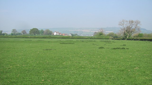
Upper Pool, located in Shropshire, England, is a picturesque lake nestled amidst the tranquil countryside. Spanning across an area of approximately 15 acres, this freshwater body is a popular attraction for nature enthusiasts and locals alike.
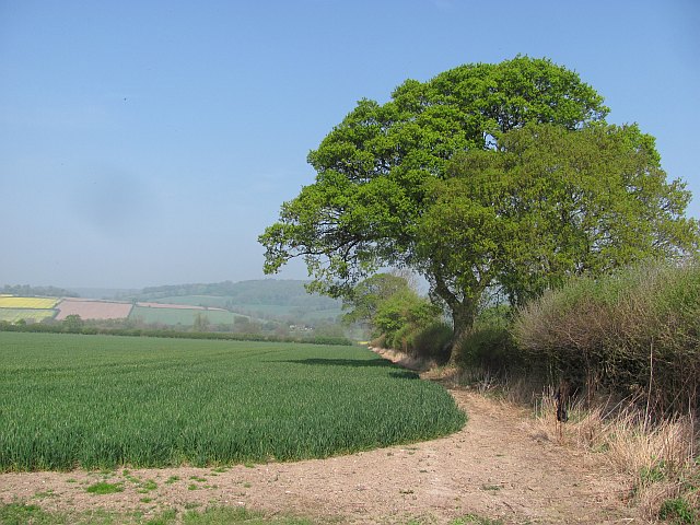
Surrounded by verdant meadows and rolling hills, Upper Pool boasts crystal-clear waters that reflect the beauty of its surroundings. The lake is fed by natural springs and rainfall, ensuring a constant flow of fresh water throughout the year. Its depth varies, with some areas reaching up to 10 meters, providing a diverse habitat for a plethora of aquatic flora and fauna.
The lake's shoreline is adorned with lush vegetation, including reeds, water lilies, and bulrushes, creating a thriving ecosystem for a variety of bird species. Visitors can spot graceful swans, ducks, herons, and kingfishers, among others, making it a haven for birdwatchers and photographers.
Upper Pool offers a range of recreational activities for visitors to enjoy. Fishing enthusiasts can try their luck at catching pike, perch, and roach, as the lake is well-stocked with these species. Additionally, boating and kayaking are popular pastimes, allowing visitors to explore the lake's serene waters at their leisure.
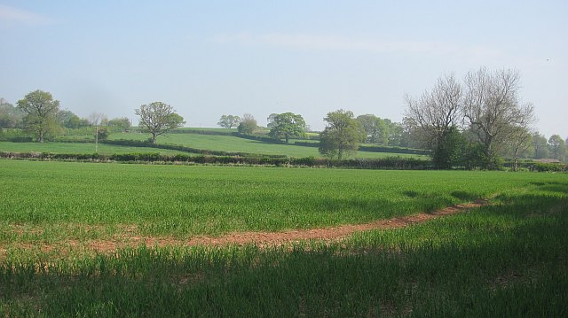
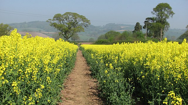
The lake is surrounded by a network of footpaths and trails, making it an ideal spot for leisurely walks and picnics. Nature lovers can immerse themselves in the peaceful ambiance and admire the breathtaking views of the surrounding countryside.
Upper Pool is a hidden gem in Shropshire, offering a tranquil retreat for those seeking solace in nature's embrace. Its idyllic setting, abundant wildlife, and array of recreational activities make it a must-visit destination for locals and tourists alike.
If you have any feedback on the listing, please let us know in the comments section below.
Upper Pool Images
Images are sourced within 2km of 52.490305/-2.6969268 or Grid Reference SO5288. Thanks to Geograph Open Source API. All images are credited.


Upper Pool is located at Grid Ref: SO5288 (Lat: 52.490305, Lng: -2.6969268)
Unitary Authority: Shropshire
Police Authority: West Mercia
What 3 Words
///landscape.dogs.childcare. Near Cardington, Shropshire
Nearby Locations
Related Wikis
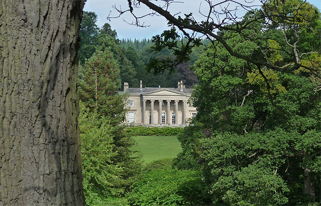
Millichope Park
Millichope Park is a 19th-century country house in Munslow, Shropshire, England, some 5 miles (8 km) south-east of Church Stretton. The house was built...
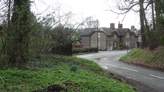
Beambridge, Shropshire
Beambridge is a village in Shropshire, England. == See also == Listed buildings in Abdon, Shropshire Listed buildings in Munslow == External links... ==

Munslow
Munslow is a small village and civil parish in Shropshire, England. It is situated on the B4368, 7 miles (11 km) northeast of the small town of Craven...

Munslow (hundred)
Munslow is a hundred of Shropshire, England. It was formed with the amalgamation of the Anglo-Saxon hundreds of Patton and Culvestan during the reign of...
Nearby Amenities
Located within 500m of 52.490305,-2.6969268Have you been to Upper Pool?
Leave your review of Upper Pool below (or comments, questions and feedback).