Priddy Pool
Lake, Pool, Pond, Freshwater Marsh in Somerset Mendip
England
Priddy Pool

Priddy Pool, located in Somerset, England, is a small freshwater lake known for its natural beauty and diverse wildlife. Nestled within the Mendip Hills, this tranquil body of water serves as a popular destination for locals and tourists alike.
With a surface area of approximately 2 acres, Priddy Pool is characterized by its calm and clear waters. Surrounded by lush vegetation, the pool is an oasis of serenity, offering a peaceful escape from the bustling city life.
The pool is home to a variety of aquatic plants, such as water lilies and reeds, which provide shelter and food for a diverse range of animals. Birdwatchers can spot various species of waterfowl, including ducks and swans, gracefully gliding across the still surface. The pool also attracts a variety of insects and amphibians, making it an ideal habitat for dragonflies and frogs.
In addition to its natural beauty, Priddy Pool offers recreational activities for visitors. The calm waters are perfect for swimming, and the surrounding meadows provide ample space for picnicking and relaxation. Anglers can enjoy fishing in the pool, as it is known for its healthy population of perch and roach.
Priddy Pool holds historical significance as well, dating back to the 12th century when it was used for water management and irrigation by the local community. Today, it serves as a reminder of the area's rich heritage and natural treasures.
Overall, Priddy Pool is a hidden gem in the heart of Somerset, offering a peaceful retreat for nature lovers and those seeking to immerse themselves in the beauty of the countryside.
If you have any feedback on the listing, please let us know in the comments section below.
Priddy Pool Images
Images are sourced within 2km of 51.262488/-2.6771162 or Grid Reference ST5251. Thanks to Geograph Open Source API. All images are credited.


Priddy Pool is located at Grid Ref: ST5251 (Lat: 51.262488, Lng: -2.6771162)
Administrative County: Somerset
District: Mendip
Police Authority: Avon and Somerset
What 3 Words
///seatbelt.cooking.similar. Near Mendip, Somerset
Nearby Locations
Related Wikis
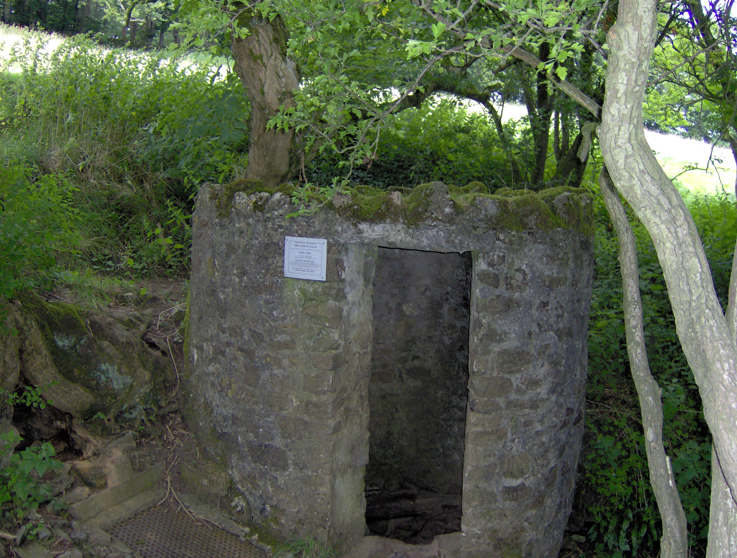
Swildon's Hole
Swildon's Hole is an extensive cave in Priddy, Somerset. At 9,144 metres (30,000 ft) in length, it is the longest cave on the Mendip Hills. It has been...
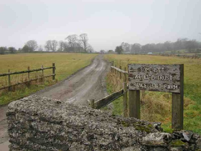
Chancellor's Farm
Chancellor's Farm (grid reference ST525525) is a 34.2-hectare (84.6 acre) biological Site of Special Scientific Interest just north of Priddy in the Mendip...

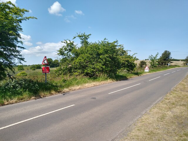
Priddy
Priddy is a village in Somerset, England in the Mendip Hills, close to East Harptree and 4 miles (6 km) north-west of Wells. It is in the local government...
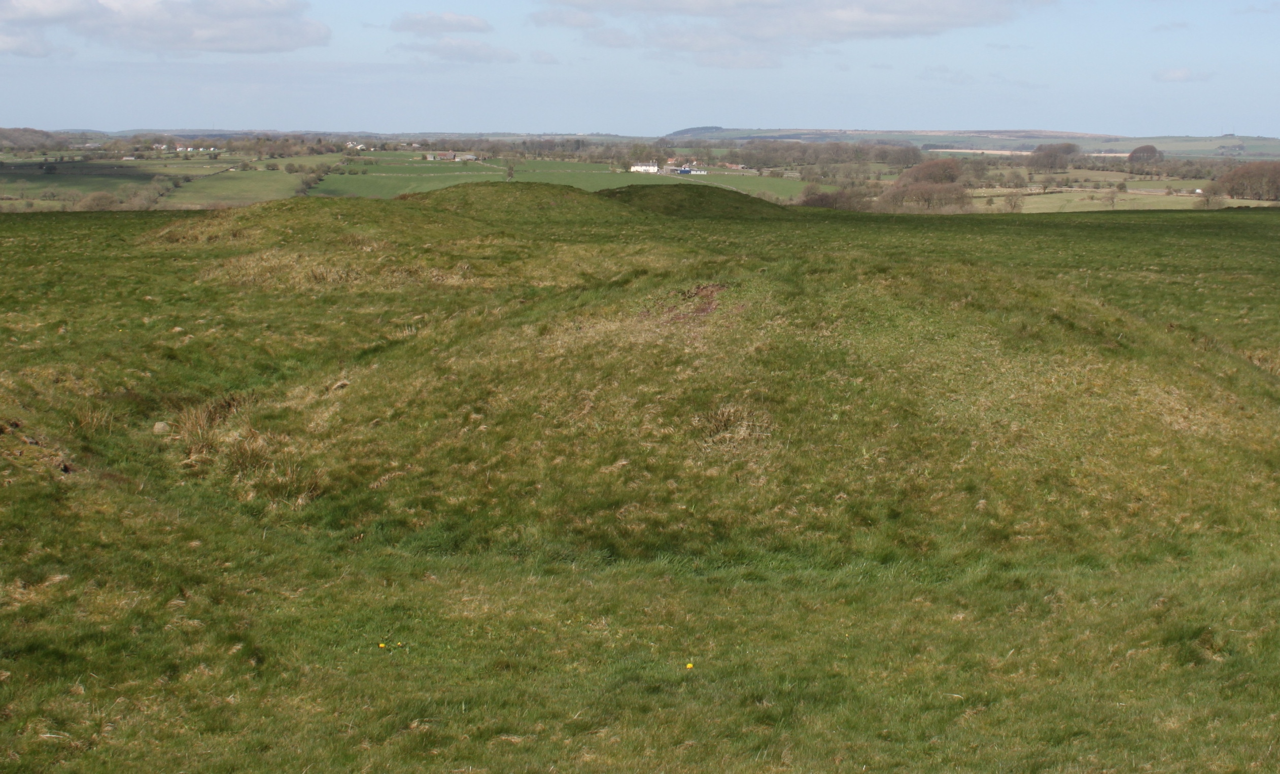
Priddy Nine Barrows and Ashen Hill Barrow Cemeteries
Priddy Nine Barrows Cemetery and Ashen Hill Barrow Cemetery are a collection of round barrows, dating from the Bronze Age, near Priddy in the English...
Nearby Amenities
Located within 500m of 51.262488,-2.6771162Have you been to Priddy Pool?
Leave your review of Priddy Pool below (or comments, questions and feedback).