Waterdale Reservoir
Lake, Pool, Pond, Freshwater Marsh in Lancashire
England
Waterdale Reservoir

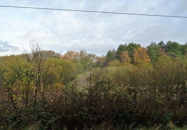
Waterdale Reservoir is a serene freshwater lake located in Lancashire, England. Spanning over an area of approximately 50 acres, this natural oasis offers a tranquil escape for both locals and visitors alike. Surrounded by picturesque landscapes, it is situated amidst rolling hills and lush greenery, providing a perfect setting for nature enthusiasts and outdoor lovers.
The reservoir, originally built in the 19th century, serves as a vital water source for the surrounding areas, ensuring a steady supply of clean, fresh water. The calm waters of Waterdale Reservoir are a haven for various species of aquatic plants and animals, making it a popular spot for birdwatching and wildlife observation. Visitors can spot a wide variety of birds, including ducks, swans, herons, and kingfishers, among others.
The reservoir offers numerous recreational activities, making it a popular destination for families and individuals seeking outdoor adventure. Fishing enthusiasts can enjoy a day of angling, as the lake is stocked with a variety of fish species, including perch, pike, and roach. Additionally, boating and kayaking are permitted on the reservoir, allowing visitors to explore the tranquil waters at their own pace.
For those seeking a leisurely stroll, there are well-maintained walking trails that surround the reservoir, offering scenic views of the water and the surrounding countryside. The area is also equipped with picnic facilities, allowing visitors to enjoy a meal amidst the serene ambiance.
Overall, Waterdale Reservoir is a natural gem in Lancashire, offering a peaceful retreat from the hustle and bustle of everyday life. With its abundant wildlife, recreational activities, and scenic beauty, it is a destination that appeals to both nature lovers and those looking for a moment of tranquility.
If you have any feedback on the listing, please let us know in the comments section below.
Waterdale Reservoir Images
Images are sourced within 2km of 53.433714/-2.7109913 or Grid Reference SJ5293. Thanks to Geograph Open Source API. All images are credited.


Waterdale Reservoir is located at Grid Ref: SJ5293 (Lat: 53.433714, Lng: -2.7109913)
Unitary Authority: St. Helens
Police Authority: Merseyside
What 3 Words
///wound.sticky.dish. Near St Helens, Merseyside
Nearby Locations
Related Wikis

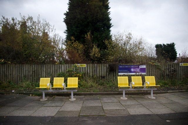
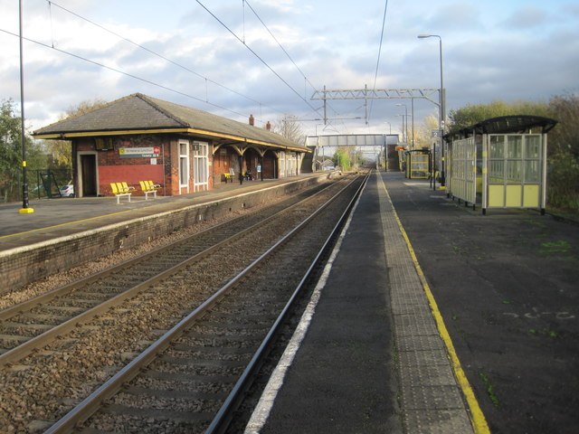
Robins Lane Halt railway station
Robins Lane Halt was a short-lived railway station which served the south of St Helens, England. The unstaffed Halt was on the short "Fast Lines" otherwise...
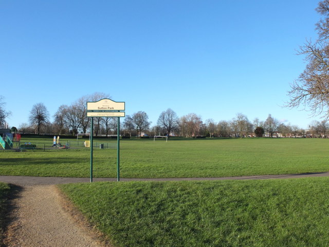
Sutton, St Helens
Sutton is an area of St Helens, Merseyside, and Ward of the metropolitan borough of the same name. The population of the ward taken at the 2011 census...
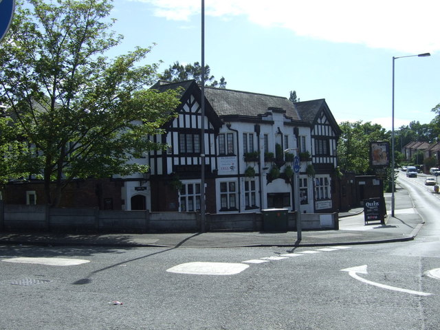
The Wheatsheaf, St Helens
The Wheatsheaf is a public house at Mill Lane, St Helens, Merseyside WA9 4HN, England. It was built in 1936–1938 by the brewery Greenall Whitley & Co....
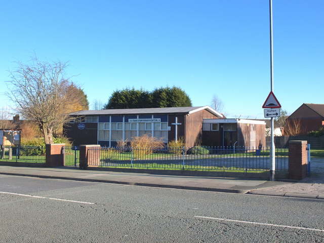
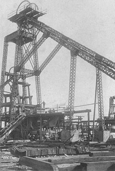
Hays Chemicals
Hays Chemicals had a factory in the Sutton area of St Helens, England. The factory was controversial, locally, for actual and feared escapes of toxic...
Nearby Amenities
Located within 500m of 53.433714,-2.7109913Have you been to Waterdale Reservoir?
Leave your review of Waterdale Reservoir below (or comments, questions and feedback).