Abbey Lakes
Lake, Pool, Pond, Freshwater Marsh in Lancashire West Lancashire
England
Abbey Lakes
Abbey Lakes is a picturesque complex of lakes, pools, ponds, and freshwater marshes located in the county of Lancashire, England. Situated near the village of Up Holland, the site covers an area of approximately 30 acres and provides a tranquil haven for nature enthusiasts and anglers alike.
The main feature of Abbey Lakes is its collection of five stunning lakes, each with its own unique character. These lakes are renowned for their crystal-clear waters and are well-stocked with a variety of fish species, including carp, pike, perch, and roach. Anglers of all skill levels are attracted to Abbey Lakes for its excellent fishing opportunities.
Surrounding the lakes, visitors can explore a network of pools and ponds that support a diverse range of wildlife. These smaller bodies of water are home to an array of flora and fauna, including water lilies, reeds, and various species of water birds such as ducks and swans.
A highlight of Abbey Lakes is its freshwater marsh, which provides a vital habitat for many species of plants and animals. This marshland is characterized by its wet and marshy conditions, supporting a rich biodiversity that includes rare and protected species.
Abbey Lakes is not only a haven for wildlife but also offers facilities for visitors to enjoy their time in nature. There are designated walking trails, picnic areas, and fishing platforms, ensuring that visitors can make the most of their visit to this idyllic natural retreat.
In summary, Abbey Lakes in Lancashire is a stunning complex of lakes, pools, ponds, and freshwater marshes that provide a haven for wildlife and fishing enthusiasts. With its peaceful surroundings and diverse range of flora and fauna, it is a must-visit destination for nature lovers in the area.
If you have any feedback on the listing, please let us know in the comments section below.
Abbey Lakes Images
Images are sourced within 2km of 53.53836/-2.7154752 or Grid Reference SD5204. Thanks to Geograph Open Source API. All images are credited.


Abbey Lakes is located at Grid Ref: SD5204 (Lat: 53.53836, Lng: -2.7154752)
Administrative County: Lancashire
District: West Lancashire
Police Authority: Lancashire
What 3 Words
///node.buzz.princes. Near Skelmersdale, Lancashire
Nearby Locations
Related Wikis

Orrell Urban District
Orrell Urban District was, from 1894 to 1974, a local government district in the administrative county of Lancashire, England. Its boundaries were centred...
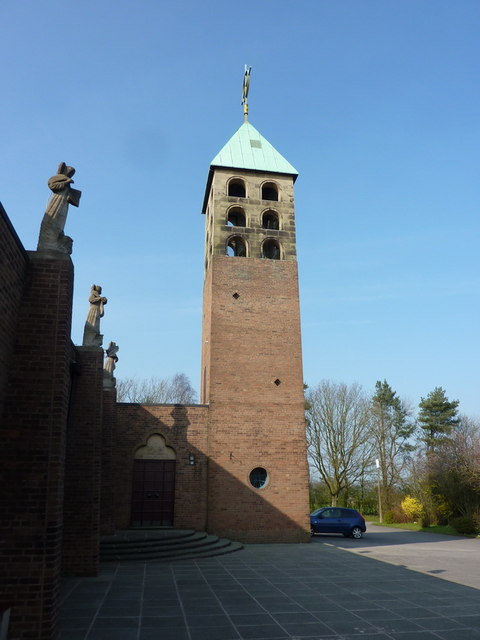
Up Holland Priory
Up Holland Priory was a Benedictine priory in Up Holland, Lancashire, England. It was founded in 1319. The priory remains are recorded in the National...
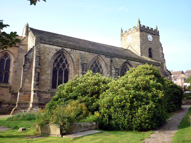
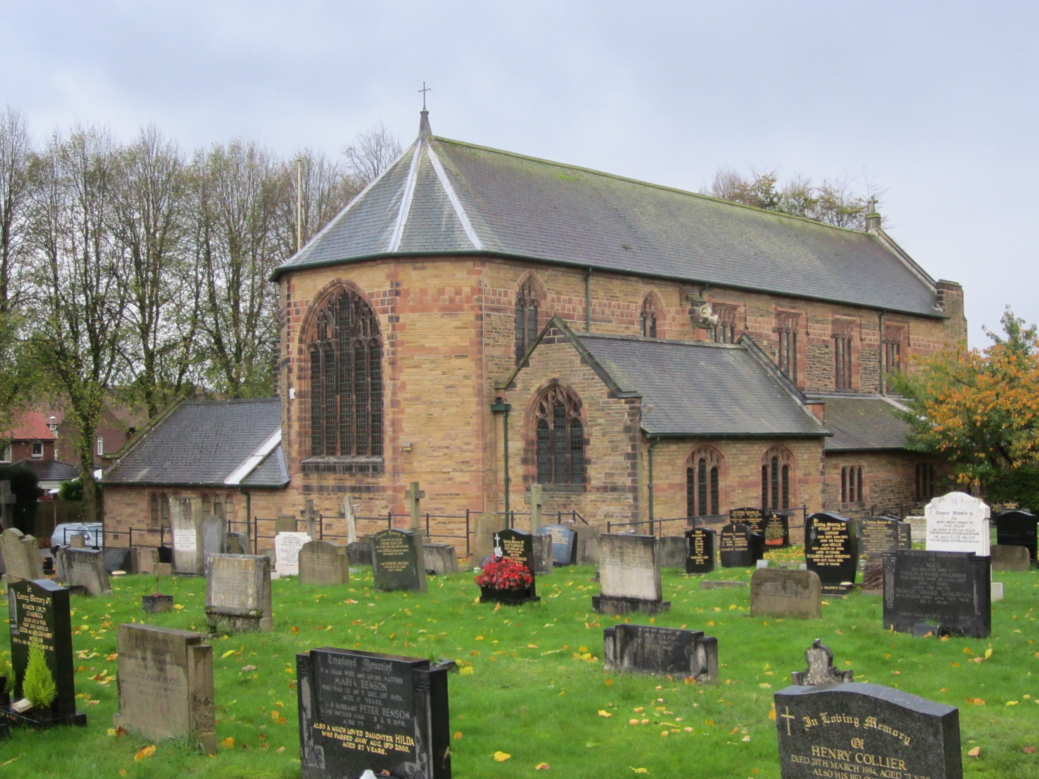
Church of St Thomas the Martyr, Up Holland
The Church of St Thomas the Martyr is in School Lane, Up Holland, Lancashire, England. It is an active Anglican parish church in the deanery of Ormskirk...
Orrell, Greater Manchester
Orrell is a suburb of Wigan in the Metropolitan Borough of Wigan, Greater Manchester, England. The population of the ward had fallen at the 2011 Census...

Up Holland
Up Holland (or Upholland) is a village close to Skelmersdale and civil parish in the West Lancashire district, in the county of Lancashire, England, 4...

Edge Hall Road
The Edge Hall Road Community Stadium is a rugby union community stadium, located in Orrell, Greater Manchester. Originally built as the permanent ground...
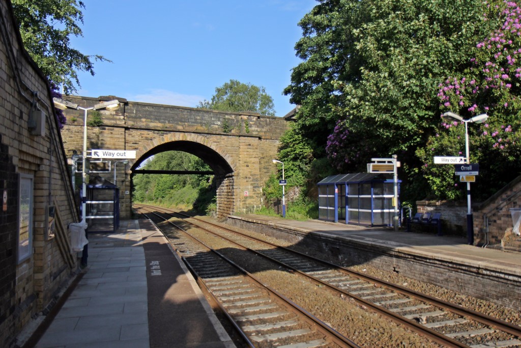
Orrell railway station
Orrell railway station serves the Orrell area of the Metropolitan Borough of Wigan, Greater Manchester, England. It is a small two-platform commuter hub...
St Peter's Catholic High School
St. Peter's Catholic High School is located in the Orrell area of Wigan, Greater Manchester, and caters for students from the ages of 11 to 16. Formed...
Related Videos

Welcome to UK Tourism Online!
Welcome to UK Tourism Online North West England! Within this channel you'll find many playlists about accommodation, ...

Blackpool to Fleetwood England Coastal Path Walk
Coast path walk from Blackpool to Fleetwood.

☀️ Pranic…Thursday..?? 🤣🤣 Walking barefoot 🦶 in the city 🌃 #barefoot #grounding #connecting
Addendum to last Pranic Sunday video! ✨ Meet and connect with others who are on the pranic path at PranicFamily.com ...
Nearby Amenities
Located within 500m of 53.53836,-2.7154752Have you been to Abbey Lakes?
Leave your review of Abbey Lakes below (or comments, questions and feedback).