Backbrae Pool
Lake, Pool, Pond, Freshwater Marsh in Roxburghshire
Scotland
Backbrae Pool
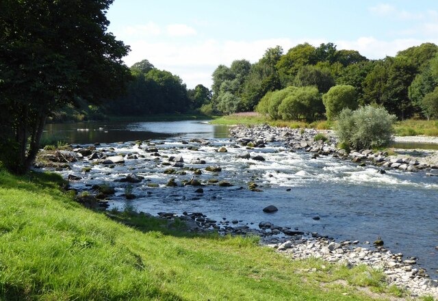
Backbrae Pool, located in Roxburghshire, is a picturesque freshwater marsh that offers a serene and tranquil environment for both wildlife and visitors. Spanning an area of approximately 2 acres, this pool is nestled amidst the rolling hills and lush greenery of the Scottish countryside.
The pool itself is a natural water feature, fed by a small stream that meanders through the surrounding landscape. It is home to a diverse range of aquatic flora and fauna, making it a haven for wildlife enthusiasts and nature lovers alike. The pool is dotted with various species of water lilies and other floating plants that create a vibrant and colorful display during the summer months.
Visitors to Backbrae Pool can expect to encounter a multitude of bird species, including ducks, swans, and herons, who call this tranquil spot their home. The pool provides an ideal habitat for these feathered creatures, offering them a safe haven for nesting and feeding.
The surrounding marshland is a haven for various amphibians and insects, adding to the biodiversity of the area. Dragonflies and butterflies can often be spotted flitting around, while frogs and toads can be heard croaking during the warmer months.
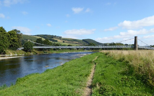
Backbrae Pool is a popular spot for nature walks and birdwatching, allowing visitors to immerse themselves in the beauty of the Scottish countryside. The peaceful ambiance and stunning natural surroundings make it an ideal destination for those seeking solace in nature.
If you have any feedback on the listing, please let us know in the comments section below.
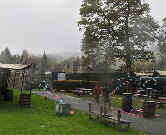
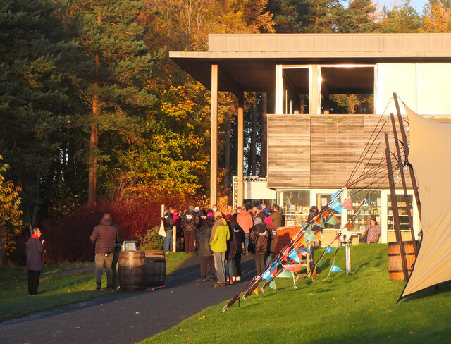
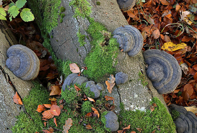
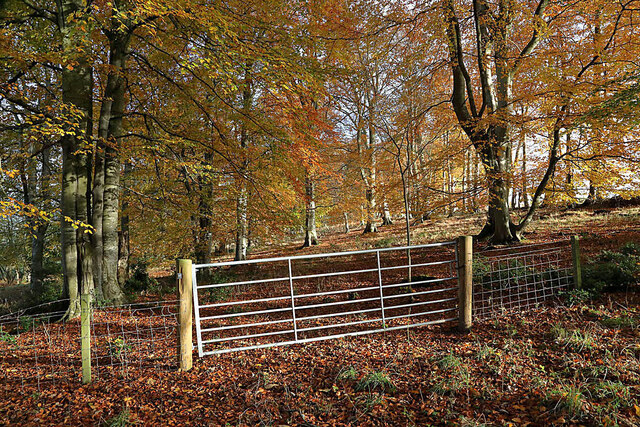
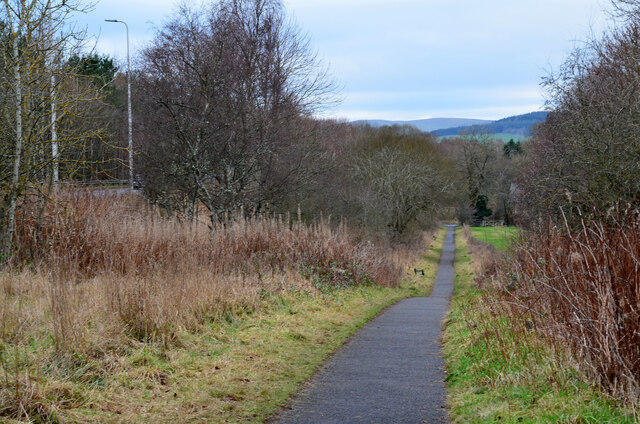
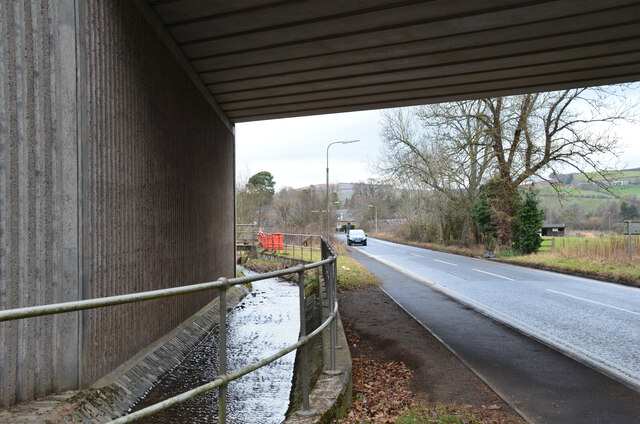
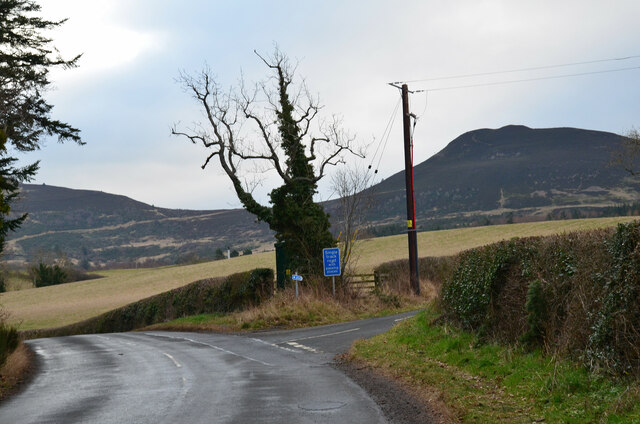
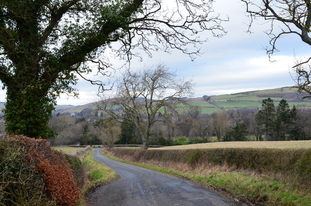
Backbrae Pool Images
Images are sourced within 2km of 55.608091/-2.7527668 or Grid Reference NT5235. Thanks to Geograph Open Source API. All images are credited.


Backbrae Pool is located at Grid Ref: NT5235 (Lat: 55.608091, Lng: -2.7527668)
Unitary Authority: The Scottish Borders
Police Authority: The Lothians and Scottish Borders
What 3 Words
///boomed.shuffles.cabbies. Near Tweedbank, Scottish Borders
Nearby Locations
Related Wikis

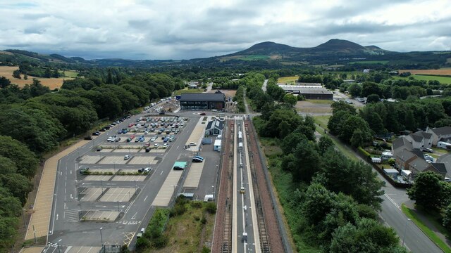
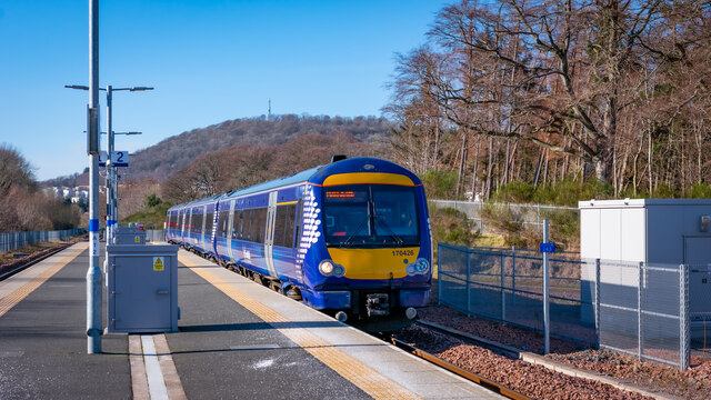
Tweedbank railway station
Tweedbank is a railway station on the Borders Railway, which runs between Edinburgh Waverley and Tweedbank. The station, situated 35 miles 34 chains (57...

Darnick
Darnick is a village near Melrose in the Scottish Borders area of Scotland, in the former Roxburghshire. The name was first recorded in 1124, and has changed...

Tweedbank
Tweedbank is a large village south-east of Galashiels in the Scottish Borders, Scotland. It is part of the county of Roxburghshire. It is an outer suburb...

Borders General Hospital
Borders General Hospital (BGH) is a district general hospital on the outskirts of Melrose, Scotland. It is managed by NHS Borders. == History == The hospital...

Gattonside
Gattonside is a small village in the Scottish Borders. It is located 1 kilometre (0.62 mi) north of Melrose, on the north side of the River Tweed. In 1143...

Melrose, Scottish Borders
Melrose (Scottish Gaelic: Maolros, "bald moor") is a town and civil parish in the Scottish Borders, historically in Roxburghshire. It lies within the Eildon...

St. Mary's School, Melrose
St. Mary's School is a private, co-educational, day and boarding prep school in Melrose, Scotland. As of 2015 there are 190 pupils; 97 boys and 93 girls...
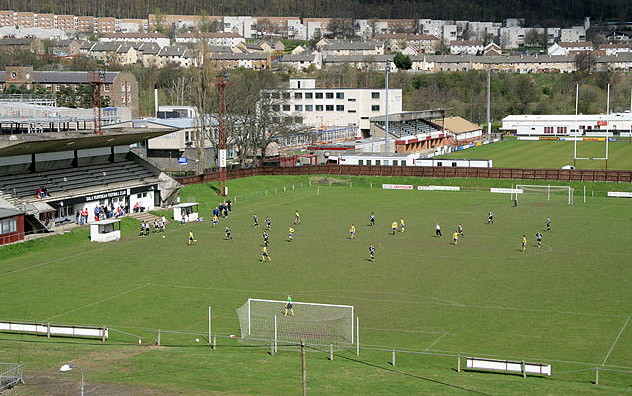
Netherdale
Netherdale is a sports complex in Galashiels, Scottish Borders, consisting of two adjacent stadiums used for rugby union and football. The rugby ground...
Nearby Amenities
Located within 500m of 55.608091,-2.7527668Have you been to Backbrae Pool?
Leave your review of Backbrae Pool below (or comments, questions and feedback).