Grizedale Reservoir

Lake, Pool, Pond, Freshwater Marsh in Lancashire Wyre

England

Grizedale Reservoir

Wyresdale Lake Part of the estate associated with Wyresdale Park country house.
Wyresdale Lake Credit: David Robinson

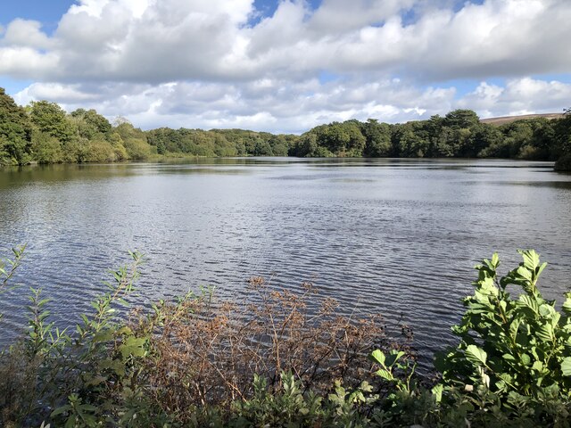
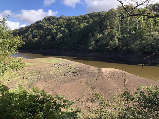
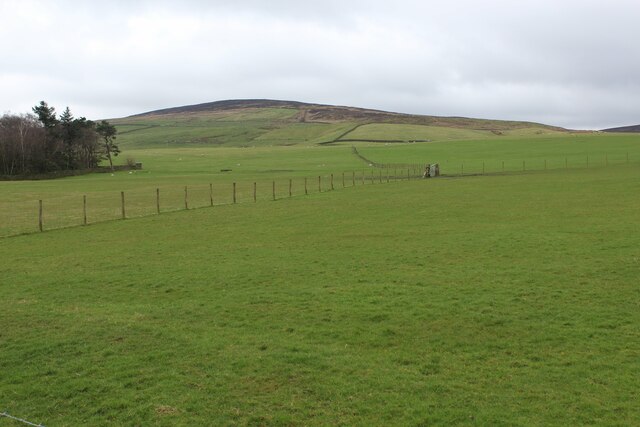
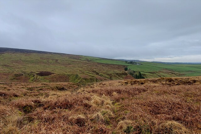
Grizedale Reservoir, located in Lancashire, is a man-made freshwater reservoir that serves multiple purposes for the local community and the surrounding area. Covering an area of approximately 0.5 square kilometers, the reservoir is situated in a picturesque valley within the Forest of Bowland, a designated Area of Outstanding Natural Beauty.

Originally constructed in the early 19th century, Grizedale Reservoir was primarily built to supply water to the nearby town of Burnley and its surrounding villages. The reservoir is fed by several streams and natural springs, ensuring a constant flow of freshwater.

The reservoir not only serves as a vital water source, but it also offers recreational opportunities for visitors and locals alike. It is a popular destination for fishing enthusiasts, with a variety of fish species such as brown trout, rainbow trout, and perch thriving in its waters. Fishing permits can be obtained from the local authorities.

The surrounding area of Grizedale Reservoir is also home to an array of wildlife, including waterfowl, herons, and various species of birds. The reservoir is a vital habitat for these creatures and provides a peaceful setting for birdwatchers and nature lovers to observe and enjoy the natural beauty of the area.

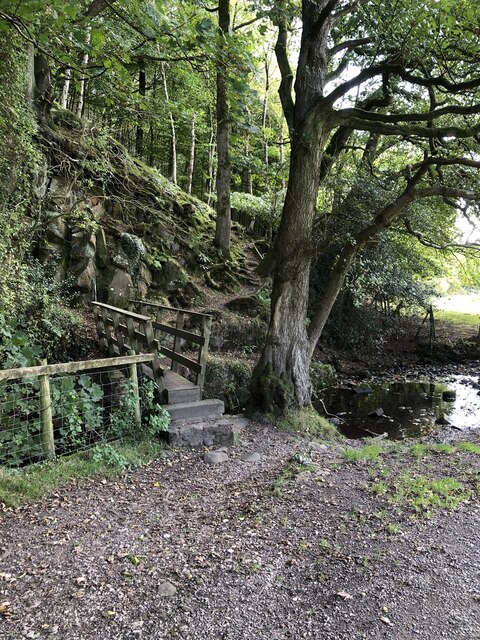
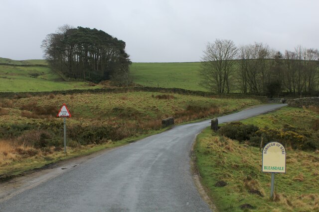
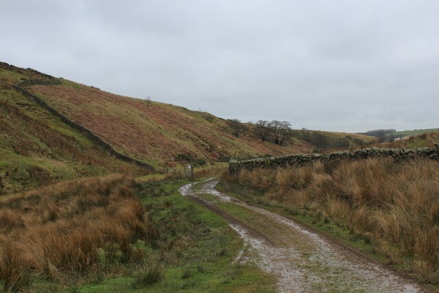
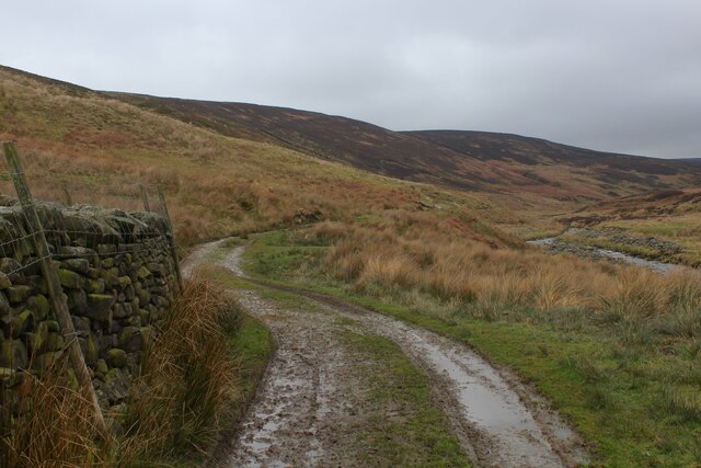
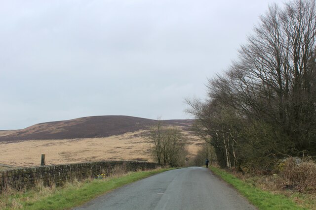
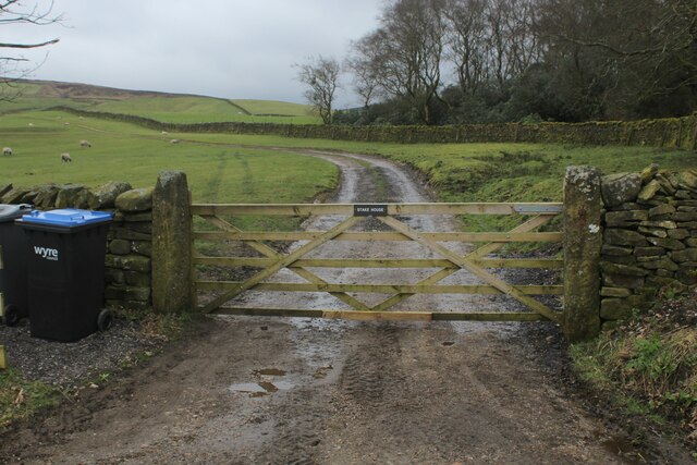
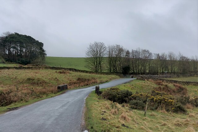
Visitors can access the reservoir via a network of footpaths and trails that wind through the surrounding woodland. These paths offer stunning views of the reservoir, making it a popular spot for walkers and hikers.

Overall, Grizedale Reservoir is not only a functional water source but also a recreational haven, offering a tranquil environment for fishing, birdwatching, and peaceful walks in the heart of Lancashire's beautiful countryside.

If you have any feedback on the listing, please let us know in the comments section below.

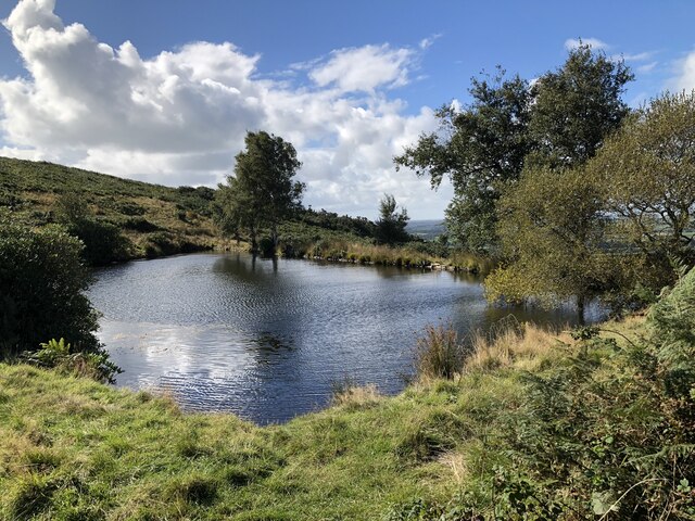
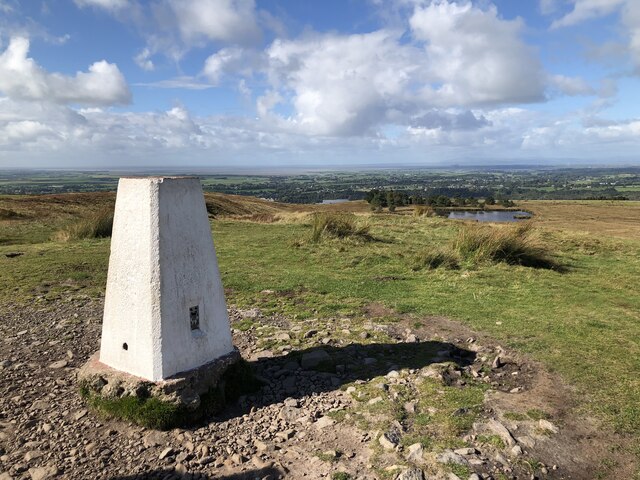
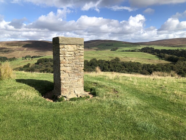
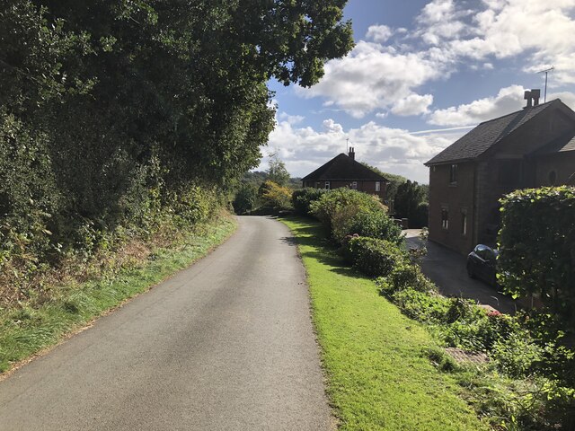
Grizedale Reservoir Images

Images are sourced within 2km of 53.929996/-2.7216567 or Grid Reference SD5248. Thanks to Geograph Open Source API. All images are credited.

Wyresdale Lake Part of the estate associated with Wyresdale Park country house.
Wyresdale Lake
Part of the estate associated with Wyresdale Park country house.
Entrance to Wyresdale Park
Small reservoir on the slopes of Nicky Nook
Trig Point on Nicky Nook
Thirlmere Aqueduct surveyor's column The column is one of at least two visible in the area that stand above the course of the buried Thirlmere Aqueduct, a 96 mile long watercourse taking water from the lake district to Manchester.
Thirlmere Aqueduct surveyor's column
The column is one of at least two visible in the area that stand above the course of the buried Thirlmere Aqueduct, a 96 mile long watercourse taking water from the lake district to Manchester.
Very low water in Grizedale Reservoir A marked low level of water in Grizedale Reservoir following the dry summer of 2022.
Very low water in Grizedale Reservoir
A marked low level of water in Grizedale Reservoir following the dry summer of 2022.
Footbridge over Grizedale Brook
Higher Lane passing the hamlet of Slean End
Fence Marching down to the Valley of Grizedale Brook
Rough Moorland above Grizedale Brook
Approaching Grizedale Bridge Approaching the bridge over Grizedale Brook from the north, over the shoulder of Harrisend Fell
Approaching Grizedale Bridge
Approaching the bridge over Grizedale Brook from the north, over the shoulder of Harrisend Fell
The Problem with the Access Track from Arbour On reaching the gate the track passes out of Open Access land, and anyone passing beyond is guilty of trespass.
The problem is this. The track beyond the gate is a nice easy walk on a firm surface to the road at Grizedale Lea Reservoir. The alternative and correct route is a nasty difficult climb to Grizedale Intake over tussocky and exhausting moor that keeps within Open Access territory, and then following Grizedale Brook over soggy marsh to the road.
The notice on the gate is barely legible - but one can make out the words "No Access"
The Problem with the Access Track from Arbour
On reaching the gate the track passes out of Open Access land, and anyone passing beyond is guilty of trespass. The problem is this. The track beyond the gate is a nice easy walk on a firm surface to the road at Grizedale Lea Reservoir. The alternative and correct route is a nasty difficult climb to Grizedale Intake over tussocky and exhausting moor that keeps within Open Access territory, and then following Grizedale Brook over soggy marsh to the road. The notice on the gate is barely legible - but one can make out the words "No Access"
Access Track beside the River Calder heading towards Arbour
Road descending towards Grizedale Bridge Passing a small stand of woodland on the descent to Grizedale Bridge, with Harrisend Fell visible in the distance
Road descending towards Grizedale Bridge
Passing a small stand of woodland on the descent to Grizedale Bridge, with Harrisend Fell visible in the distance
Pastures opposite Grizedale Lea Reservoir
Access to Stake House
Road to Oakenclough about to cross Grizedale Bridge The edge of the Howgill Fells rising to the left
Road to Oakenclough about to cross Grizedale Bridge
The edge of the Howgill Fells rising to the left
Looking south over the valley of Grizedale Brook Stake House farm on the opposite hillside
Looking south over the valley of Grizedale Brook
Stake House farm on the opposite hillside
Show me another place!

Grizedale Reservoir is located at Grid Ref: SD5248 (Lat: 53.929996, Lng: -2.7216567)

Administrative County: Lancashire

District: Wyre

Police Authority: Lancashire

What 3 Words

///paper.clouding.static. Near Garstang, Lancashire

Related Wikis

Oakenclough

Oakenclough () is an English hamlet located on the edge of the Forest of Bowland in Lancashire. Oakenclough is a small and scattered community, which appears...
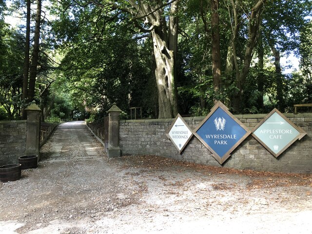
Wyresdale Park

Wyresdale Park is an English country house and licensed wedding ceremony venue located within the Forest of Bowland, to the northeast of Scorton, Lancashire...

Nether Wyresdale

Nether Wyresdale is a civil parish in Lancashire, England. In the 2001 United Kingdom census, it had a population of 613, rising to 655 at the 2011 census...

Barnacre-with-Bonds

Barnacre-with-Bonds is a civil parish in the Wyre district of Lancashire, England. According to the 2001 census it had a population of 1,751 increasing...

Nearby Amenities

Located within 500m of 53.929996,-2.7216567
Holme wood
Natural: wood
Source: OS OpenData StreetView
Lat/Long: 53.9311898/-2.7174719
Barrier: stile
Source: Recent walk
Lat/Long: 53.9301105/-2.7230474
The data included in this document is from www.openstreetmap.org. The data is made available under ODbL.

Have you been to Grizedale Reservoir?

Leave your review of Grizedale Reservoir below (or comments, questions and feedback).