Tontine
Settlement in Lancashire West Lancashire
England
Tontine
Tontine is a small village located in the county of Lancashire in North West England. Situated approximately 2 miles northwest of the market town of Darwen, Tontine is nestled within the picturesque West Pennine Moors, offering breathtaking scenery and a tranquil setting for its residents.
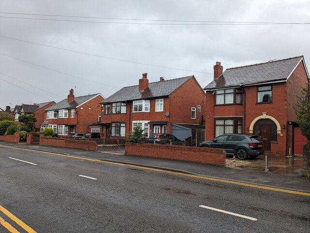
The village itself is characterized by its charming rural atmosphere, with a scattering of traditional stone-built cottages and farmhouses. It has a close-knit community, known for its welcoming and friendly nature. Tontine is home to a population of around 500 people, providing a tight-knit and peaceful environment for its inhabitants.
The surrounding area offers a wealth of outdoor activities, making it a popular destination for nature enthusiasts. With numerous walking trails and scenic routes, residents and visitors alike can enjoy exploring the stunning moorland, woodlands, and reservoirs nearby. The village is also conveniently located near the larger towns of Darwen and Blackburn, where a wider range of amenities and services can be found.
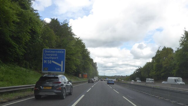
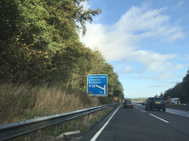
Tontine benefits from excellent transport links, with easy access to major road networks such as the M65 and A666. This allows for convenient commuting to nearby towns and cities, making it an attractive place to live for those seeking a balance between rural charm and urban convenience.
Overall, Tontine offers a peaceful and idyllic setting for its residents, boasting natural beauty and a strong sense of community. Its location in the heart of Lancashire ensures a rich history and heritage, making it an appealing place for those seeking a countryside retreat.
If you have any feedback on the listing, please let us know in the comments section below.
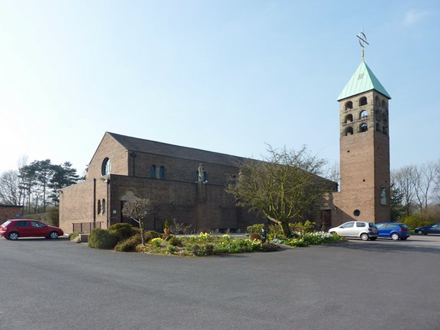
Tontine Images
Images are sourced within 2km of 53.533986/-2.719948 or Grid Reference SD5204. Thanks to Geograph Open Source API. All images are credited.


Tontine is located at Grid Ref: SD5204 (Lat: 53.533986, Lng: -2.719948)
Administrative County: Lancashire
District: West Lancashire
Police Authority: Lancashire
What 3 Words
///swinging.images.lengthen. Near Skelmersdale, Lancashire
Nearby Locations
Related Wikis

Up Holland High School
Up Holland High School is a coeducational secondary school located in Up Holland, Lancashire, England. It is a non-denominational comprehensive school...
Up Holland Priory
Up Holland Priory was a Benedictine priory in Up Holland, Lancashire, England. It was founded in 1319. The priory remains are recorded in the National...
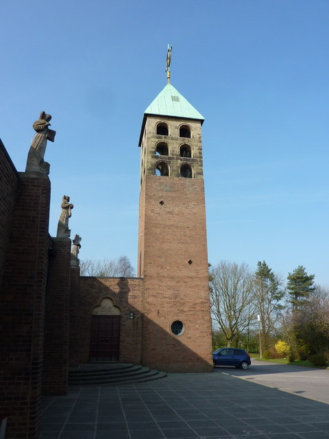
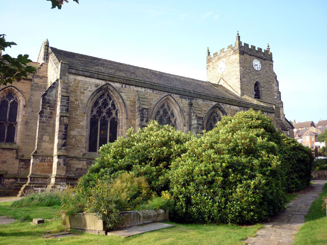
Church of St Thomas the Martyr, Up Holland
The Church of St Thomas the Martyr is in School Lane, Up Holland, Lancashire, England. It is an active Anglican parish church in the deanery of Ormskirk...
Orrell, Greater Manchester
Orrell is a suburb of Wigan in the Metropolitan Borough of Wigan, Greater Manchester, England. The population of the ward had fallen at the 2011 Census...
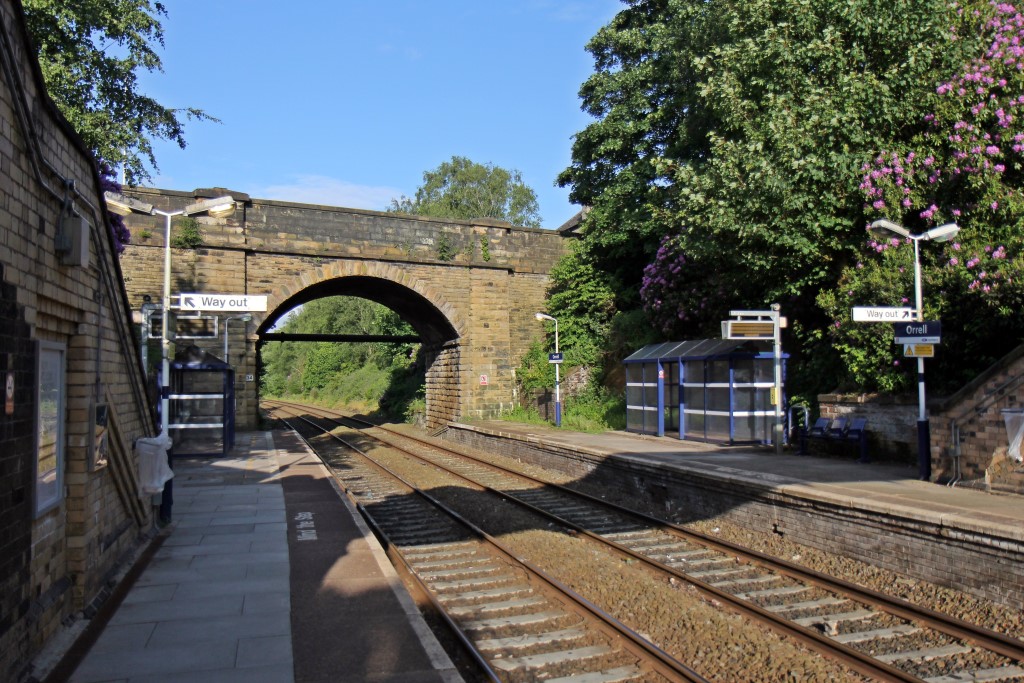
Orrell railway station
Orrell railway station serves the Orrell area of the Metropolitan Borough of Wigan, Greater Manchester, England. It is a small two-platform commuter hub...
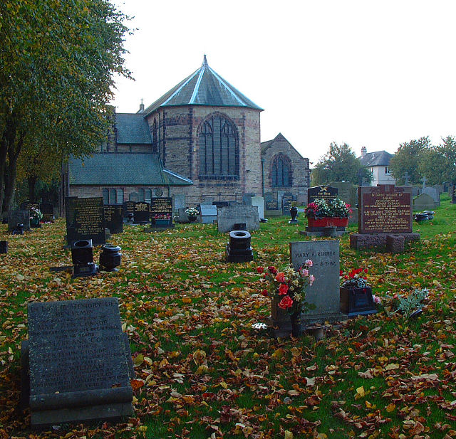
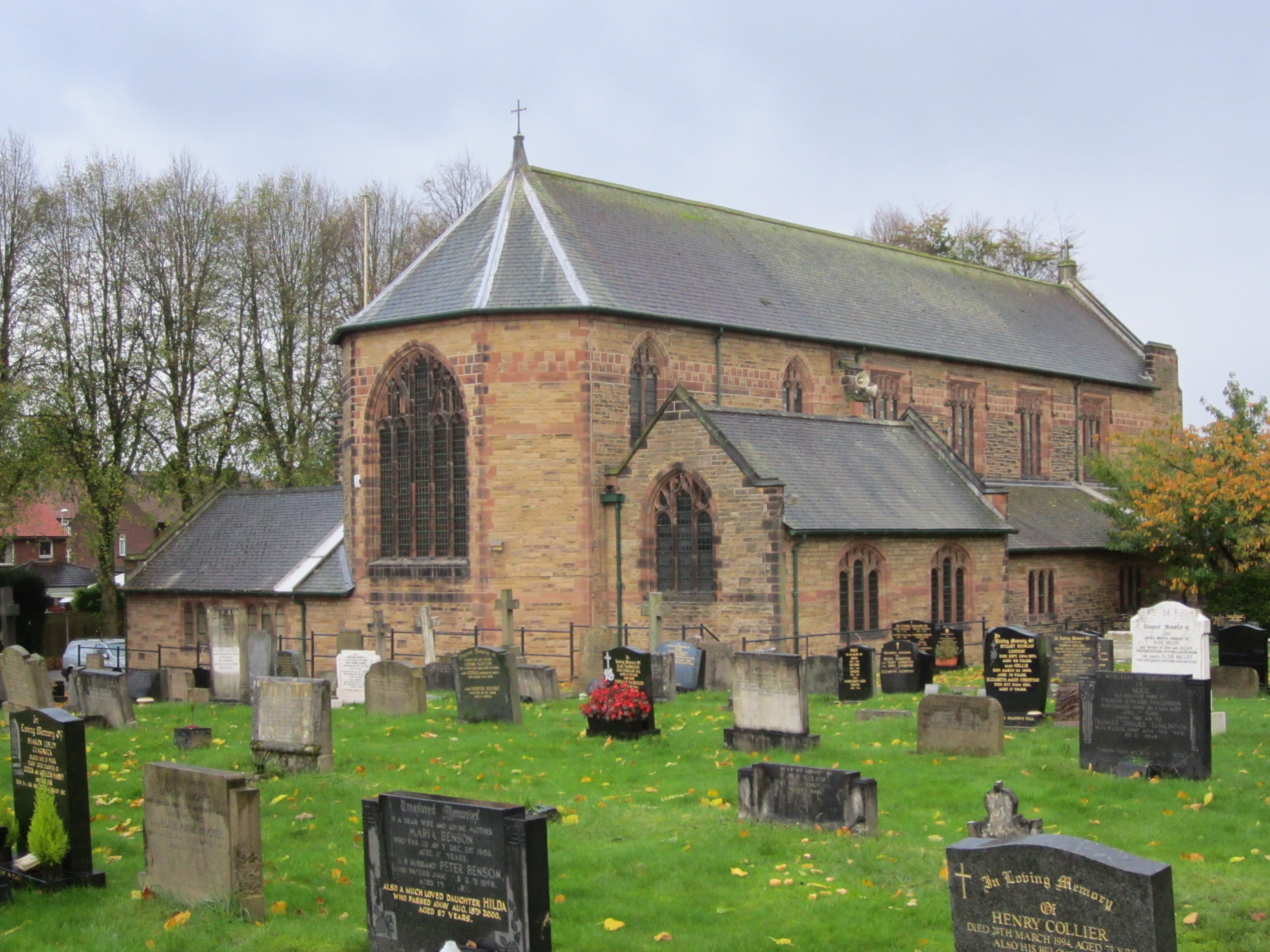
St Luke's Church, Orrell
St Luke's Church is in Lodge Road, Orrell, Wigan, Greater Manchester, England. It is an active Anglican parish church in the deanery of Wigan, the archdeaconry...
Orrell Urban District
Orrell Urban District was, from 1894 to 1974, a local government district in the administrative county of Lancashire, England. Its boundaries were centred...

Edge Hall Road
The Edge Hall Road Community Stadium is a rugby union community stadium, located in Orrell, Greater Manchester. Originally built as the permanent ground...
Nearby Amenities
Located within 500m of 53.533986,-2.719948Have you been to Tontine?
Leave your review of Tontine below (or comments, questions and feedback).