Alton Pond

Lake, Pool, Pond, Freshwater Marsh in Roxburghshire

Scotland

Alton Pond

Track at Muirfield Looking westward.
Track at Muirfield Credit: Peter Wood

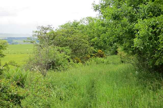
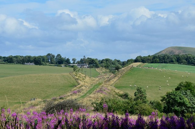
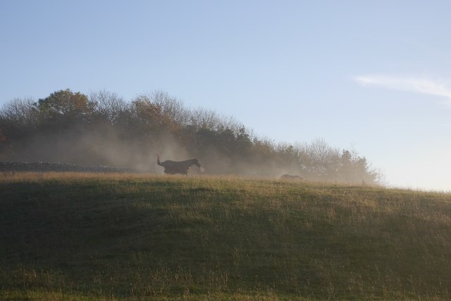
Alton Pond, located in Roxburghshire, is a picturesque freshwater pond that offers a tranquil and scenic environment for visitors to enjoy. It is classified as a pond due to its relatively small size, measuring approximately 100 meters in length and 50 meters in width. Surrounded by lush greenery, the pond creates a serene atmosphere that attracts both nature enthusiasts and locals seeking a peaceful retreat.

The water in Alton Pond is sourced from natural springs, resulting in crystal-clear and pristine freshwater. This, in turn, supports a diverse range of aquatic life, including various species of fish, frogs, and water insects. The pond also provides an ideal habitat for a variety of water plants, which add to its scenic beauty.

Surrounding the pond is a freshwater marsh, characterized by its marshy vegetation and wetland ecosystem. The marsh area is home to an array of plant and animal species, including reeds, cattails, water lilies, and a variety of waterfowl. Visitors can observe these vibrant ecosystems while strolling along the pond's shores or from the nearby observation deck.

Alton Pond also offers recreational opportunities for visitors. Fishing is a popular activity, with anglers often catching species such as perch, pike, and roach. Additionally, the pond provides an ideal setting for birdwatching, with frequent sightings of ducks, herons, and other waterfowl.

Overall, Alton Pond in Roxburghshire is a charming and tranquil freshwater pond, offering visitors a chance to connect with nature and enjoy its diverse ecosystems. Whether it's fishing, birdwatching, or simply appreciating the beauty of the surroundings, Alton Pond provides a delightful experience for all who visit.

If you have any feedback on the listing, please let us know in the comments section below.
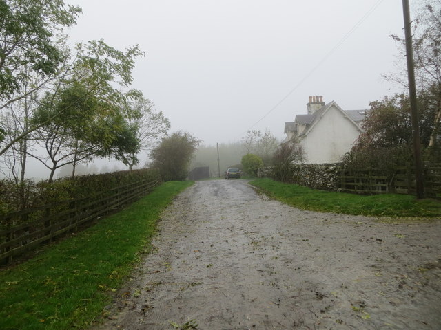
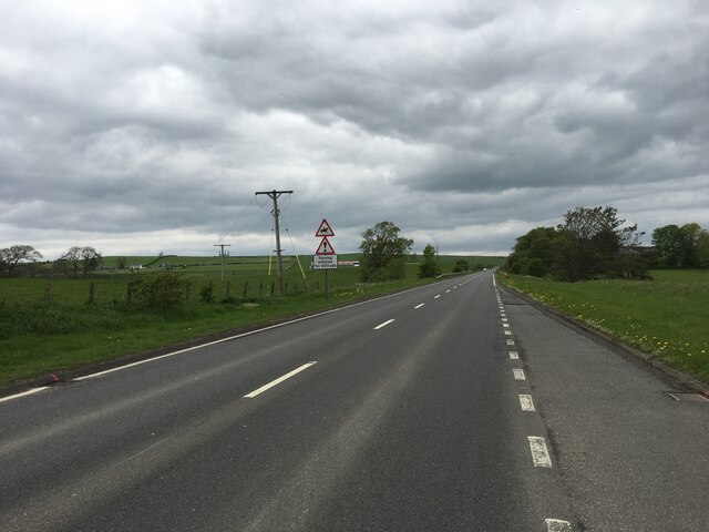
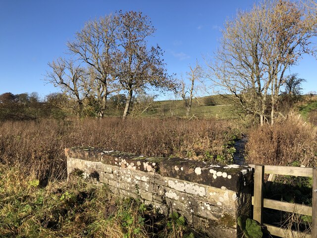
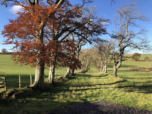
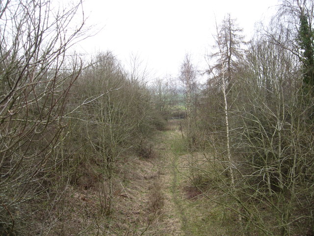
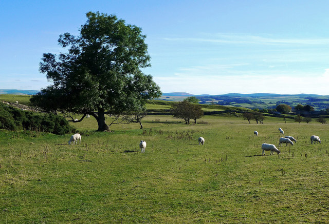
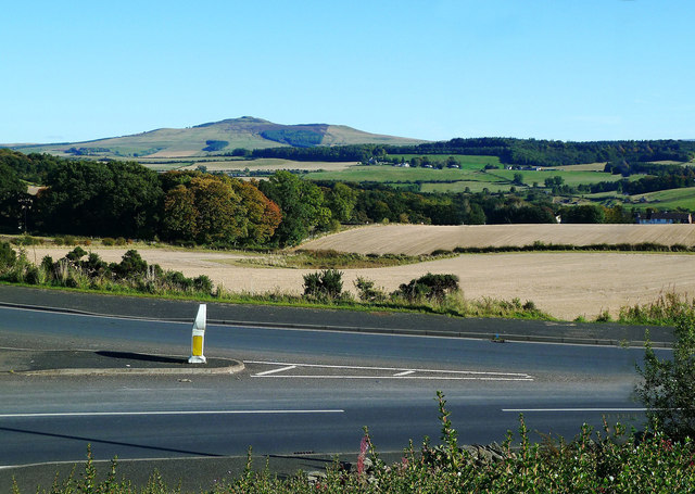
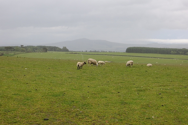
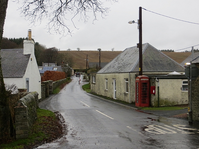
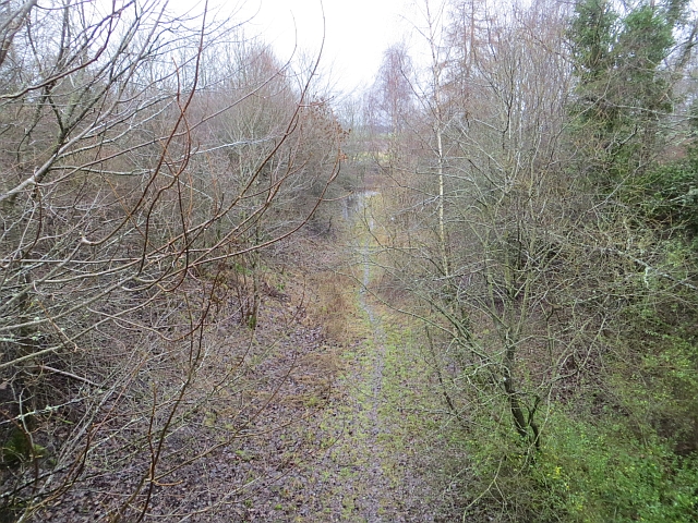
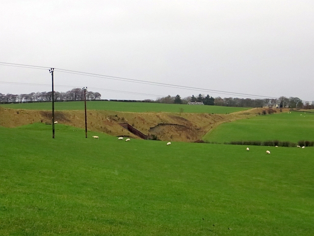
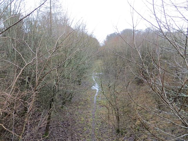
Alton Pond Images

Images are sourced within 2km of 55.45833/-2.7639373 or Grid Reference NT5118. Thanks to Geograph Open Source API. All images are credited.

Track at Muirfield Looking westward.
Track at Muirfield
Looking westward.
A7 north of Hawick
A7 north of Hawick
Boonraw Burn A road bridge over the burn.
Boonraw Burn
A road bridge over the burn.
Old track, Horsleyhill With beech trees remaining from hedges
Old track, Horsleyhill
With beech trees remaining from hedges
Fields and strip, Horseley Hill
Site of an old rail track, now a walkway Part of the old Hawick to Galashiels section at the foot of Hornhole Hill.
Site of an old rail track, now a walkway
Part of the old Hawick to Galashiels section at the foot of Hornhole Hill.
Border View Grazing land between Selkirk and Hawick, with the distant Cheviot Hills on the horizon.
Border View
Grazing land between Selkirk and Hawick, with the distant Cheviot Hills on the horizon.
Border View A fine view of Border country, seen from the Homebase car park outside Hawick.
Border View
A fine view of Border country, seen from the Homebase car park outside Hawick.
Hallywell Hill View past grazing sheep and through rain towards Hallywell Hill from the road to Muirfield.
Hallywell Hill
View past grazing sheep and through rain towards Hallywell Hill from the road to Muirfield.
Track, Muirfield Waymarked as the Hawick Circular Ride, but little sign of recent use. There were some old baked hoofprints probably dating back to the run up to the Common Rides, but the vegetation is firmly in control now.
Track, Muirfield
Waymarked as the Hawick Circular Ride, but little sign of recent use. There were some old baked hoofprints probably dating back to the run up to the Common Rides, but the vegetation is firmly in control now.
Cutting for the former Waverley Line Part of the earthworks necessary to carry the railway on its route SW towards Hawick, seen here from the minor road below Hornshole Hill. For a view taken within the cutting, see <a href="https://www.geograph.org.uk/photo/246249">NT5317 : Looking Northeast up the route of the former Waverley railway line</a>.
Cutting for the former Waverley Line
Part of the earthworks necessary to carry the railway on its route SW towards Hawick, seen here from the minor road below Hornshole Hill. For a view taken within the cutting, see NT5317 : Looking Northeast up the route of the former Waverley railway line.
Minor road near Hornshole Hill The road on the N side of the Teviot from Hawick to Hassendeanburn and Denholm. The Minto Hills are in the background.
Minor road near Hornshole Hill
The road on the N side of the Teviot from Hawick to Hassendeanburn and Denholm. The Minto Hills are in the background.
Road junction near Hornshole Hill The right-hand road crosses the Teviot at Hornshole Bridge to join the A698 to Denholm and Jedburgh.
Road junction near Hornshole Hill
The right-hand road crosses the Teviot at Hornshole Bridge to join the A698 to Denholm and Jedburgh.
Appletreehall The telephone box is still working.
Appletreehall
The telephone box is still working.
Waverley Line trackbed Sadly not being reopened this far south.
Waverley Line trackbed
Sadly not being reopened this far south.
Embankment, Waverley Line The engineers took the landscape full on with this railway, there are many huge cuttings and embankments.
Embankment, Waverley Line
The engineers took the landscape full on with this railway, there are many huge cuttings and embankments.
Waverley Line trackbed View towards Hawick.
Waverley Line trackbed
View towards Hawick.
A cool morning A horse gets up after a roll on an anticyclonic morning.
A cool morning
A horse gets up after a roll on an anticyclonic morning.
Show me another place!

Alton Pond is located at Grid Ref: NT5118 (Lat: 55.45833, Lng: -2.7639373)

Unitary Authority: The Scottish Borders

Police Authority: The Lothians and Scottish Borders

What 3 Words

///hunk.fixture.started. Near Hawick, Scottish Borders

Nearby Locations

Alton Pond Camp Plantation

Related Wikis

Appletreehall

Appletreehall is a village in the Scottish Borders area of Scotland, 2 miles north-east of Hawick, in the historic county of Roxburghshire. Nearby are...

Burnfoot, Hawick

Burnfoot (Scottish Gaelic: Bun na h-Aibhne, Scots: Burnfit) is a housing estate just east of the A7, in the northern part of Hawick, by the Boonraw Burn...

Mansfield Park, Hawick

Mansfield Park is a rugby union ground in Hawick, Scotland, with a capacity of approximately 5,000. It is the home of Hawick Rugby Football Club, who currently...

Stirches

Stirches is an area of Hawick in the Scottish Borders, mostly consisting of ex-council housing built in 1973. It is often considered to be one of the more...

Hassendean, Scottish Borders

Hassendean is a hamlet in the Scottish Borders south of Edinburgh, Scotland. The stream is the Hassendean Burn which flows down to the River Teviot five...

Hassendean railway station

Hassendean railway station served the village of Hassendean, Scottish Borders, Scotland from 1850 to 1969 on the Waverley Route. == History == The station...

Hawick railway station

Hawick railway station served the town of Hawick, Scottish Borders, Scotland from 1849 to 1969 on the Waverley Route. == History == The first station opened...

Hawick Library

Hawick Library is housed in the building built in 1904 in Hawick and it was one of the many libraries funded by Andrew Carnegie. The library is a Category...

Nearby Amenities

Located within 500m of 55.45833,-2.7639373
Newhouses
Place: hamlet
Lat/Long: 55.4542392/-2.7632732
Alton Loch
Place: isolated_dwelling
Lat/Long: 55.458622/-2.7611489
Power: pole
Lat/Long: 55.4601137/-2.7576998
Power: pole
Lat/Long: 55.4594735/-2.7585424
Power: pole
Lat/Long: 55.458801/-2.7594128
Power: pole
Lat/Long: 55.4571573/-2.7616067
Power: pole
Lat/Long: 55.4566547/-2.7622354
Power: pole
Lat/Long: 55.4562441/-2.7627665
Power: pole
Lat/Long: 55.4556235/-2.7636114
Power: pole
Lat/Long: 55.455149/-2.7642068
Power: pole
Lat/Long: 55.4544813/-2.7651
Noexit: yes
Lat/Long: 55.4553855/-2.7657558
Noexit: yes
Lat/Long: 55.4551125/-2.7683683
Power: pole
Lat/Long: 55.4577088/-2.7608706
Power: pole
Lat/Long: 55.4580443/-2.7604228
The data included in this document is from www.openstreetmap.org. The data is made available under ODbL.

Have you been to Alton Pond?

Leave your review of Alton Pond below (or comments, questions and feedback).