Camp Plantation
Wood, Forest in Roxburghshire
Scotland
Camp Plantation
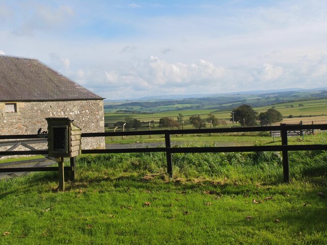
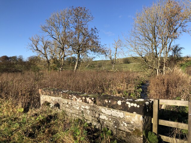
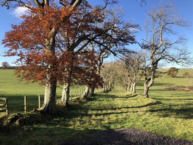
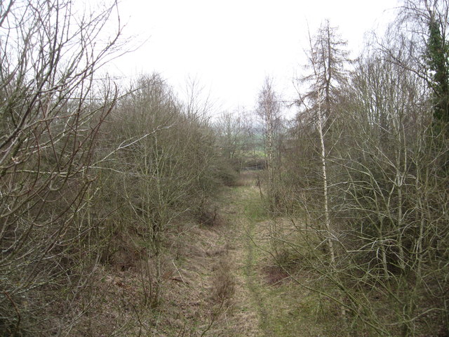
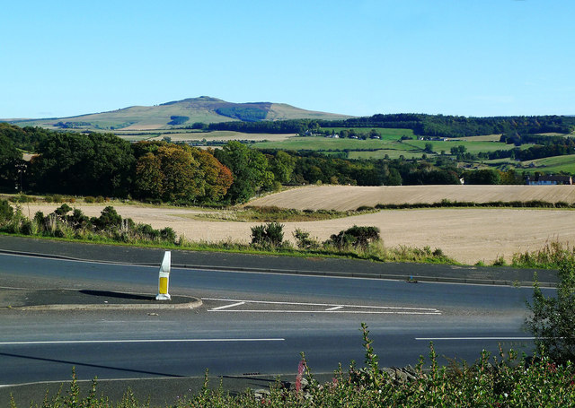
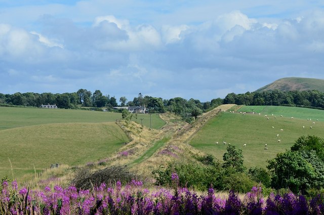
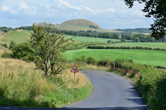
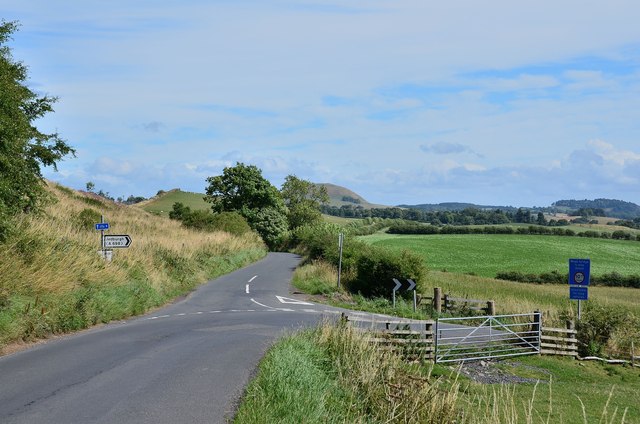
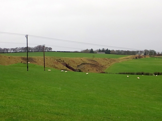
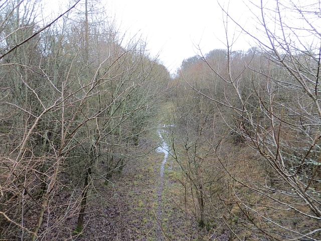
Camp Plantation is a picturesque woodland located in Roxburghshire, Scotland. Situated in the southern part of the country, it covers a vast area of approximately 100 acres. The plantation is predominantly made up of a variety of trees, including oak, beech, birch, and pine, creating a diverse and vibrant forest ecosystem.
The woodland is well-known for its natural beauty and tranquility, making it a popular destination for nature enthusiasts and hikers. The lush greenery and dense canopy provide a peaceful environment, ideal for those seeking solitude or a break from the hustle and bustle of everyday life.
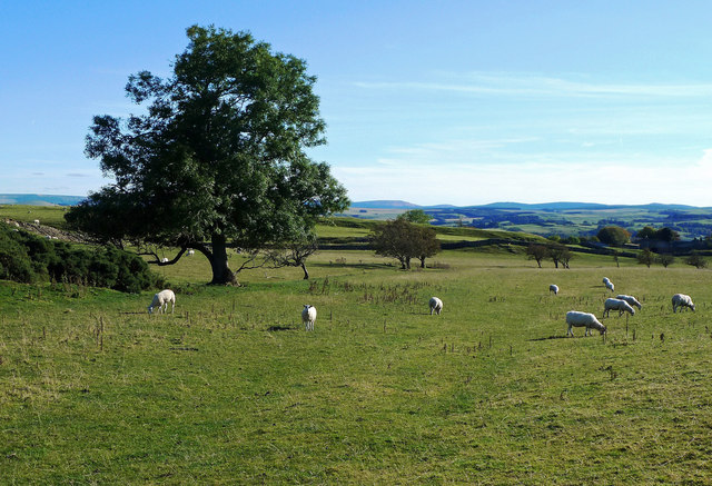
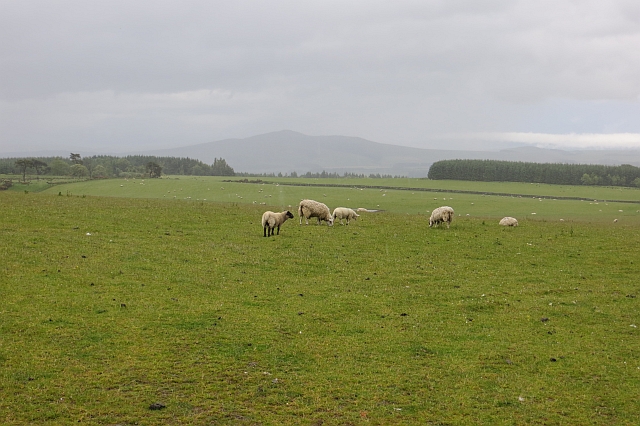
Camp Plantation is also home to a wide range of wildlife, including deer, squirrels, and various bird species. The forest's diverse ecosystem supports a rich biodiversity, making it a haven for nature lovers and wildlife photographers.
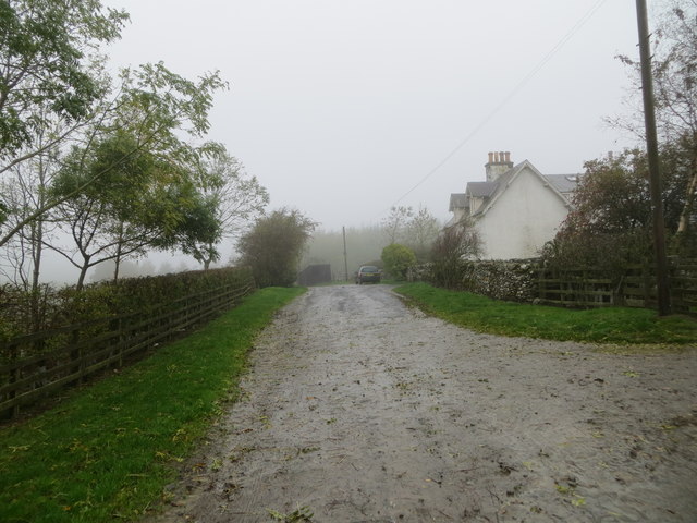
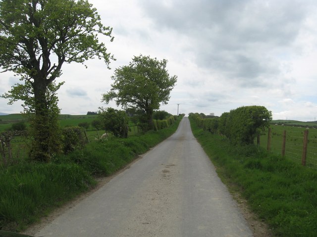
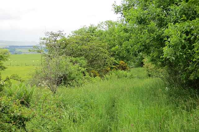
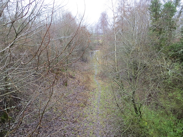
The woodland offers numerous walking trails and paths, allowing visitors to explore its beauty at their own pace. These trails are well-maintained and clearly marked, ensuring a safe and enjoyable experience for all. The plantation also provides picnic areas, where visitors can relax and enjoy a meal amidst the serene surroundings.
In addition to its natural attractions, Camp Plantation offers educational programs and workshops dedicated to promoting environmental awareness and conservation. These initiatives aim to educate visitors about the importance of preserving and protecting the forest's delicate ecosystem.
Overall, Camp Plantation in Roxburghshire is a splendid woodland retreat, offering a unique blend of natural beauty, wildlife, and educational opportunities. It is a must-visit destination for anyone seeking a peaceful and immersive experience in the heart of Scotland's stunning countryside.
If you have any feedback on the listing, please let us know in the comments section below.
Camp Plantation Images
Images are sourced within 2km of 55.457318/-2.7662107 or Grid Reference NT5118. Thanks to Geograph Open Source API. All images are credited.
Camp Plantation is located at Grid Ref: NT5118 (Lat: 55.457318, Lng: -2.7662107)
Unitary Authority: The Scottish Borders
Police Authority: The Lothians and Scottish Borders
What 3 Words
///confronts.quiz.confined. Near Hawick, Scottish Borders
Nearby Locations
Related Wikis

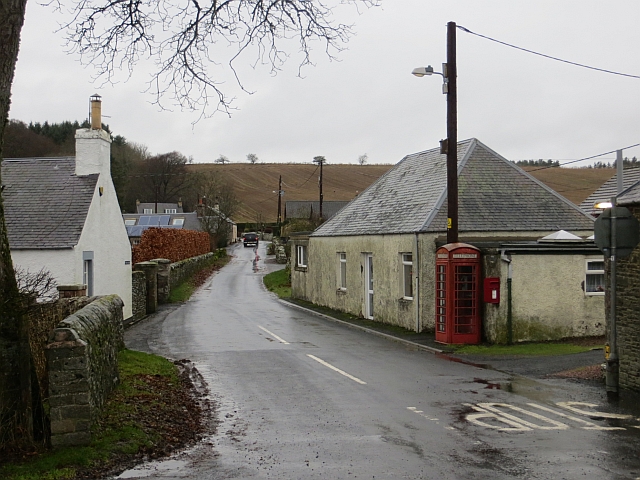
Appletreehall
Appletreehall is a village in the Scottish Borders area of Scotland, 2 miles north-east of Hawick, in the historic county of Roxburghshire. Nearby are...

Burnfoot, Hawick
Burnfoot (Scottish Gaelic: Bun na h-Aibhne, Scots: Burnfit) is a housing estate just east of the A7, in the northern part of Hawick, by the Boonraw Burn...
Mansfield Park, Hawick
Mansfield Park is a rugby union ground in Hawick, Scotland, with a capacity of approximately 5,000. It is the home of Hawick Rugby Football Club, who currently...
Stirches
Stirches is an area of Hawick in the Scottish Borders, mostly consisting of ex-council housing built in 1973. It is often considered to be one of the more...

Hawick railway station
Hawick railway station served the town of Hawick, Scottish Borders, Scotland from 1849 to 1969 on the Waverley Route. == History == The first station opened...

Hassendean, Scottish Borders
Hassendean is a hamlet in the Scottish Borders south of Edinburgh, Scotland. The stream is the Hassendean Burn which flows down to the River Teviot five...

Hawick Library
Hawick Library is housed in the building built in 1904 in Hawick and it was one of the many libraries funded by Andrew Carnegie. The library is a Category...

Hassendean railway station
Hassendean railway station served the village of Hassendean, Scottish Borders, Scotland from 1850 to 1969 on the Waverley Route. == History == The station...
Nearby Amenities
Located within 500m of 55.457318,-2.7662107Have you been to Camp Plantation?
Leave your review of Camp Plantation below (or comments, questions and feedback).