Faldonside Loch

Lake, Pool, Pond, Freshwater Marsh in Roxburghshire

Scotland

Faldonside Loch

Southern Upland Way, Gala Hill The way descends towards the River Tweed to the south of Galashiels.
Southern Upland Way, Gala Hill Credit: Jim Barton

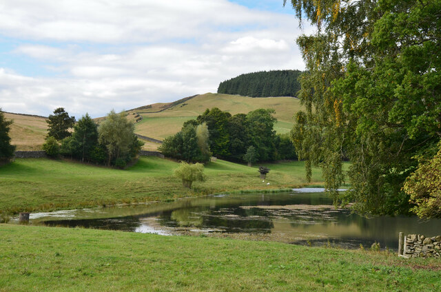
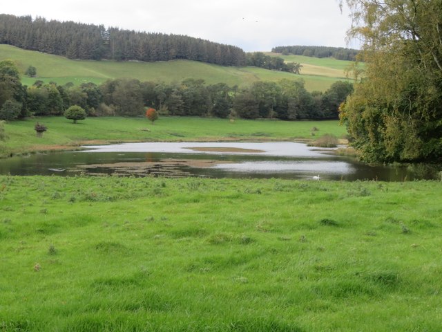
Faldonside Loch is a picturesque freshwater loch located in Roxburghshire, Scotland. Situated near the town of Galashiels, it covers an area of approximately 15 acres and is surrounded by lush greenery and rolling hills. The loch is a popular destination for nature enthusiasts and offers a tranquil and serene setting for visitors to enjoy.

The loch is fed by several small streams and springs, ensuring a constant supply of fresh water. It is known for its crystal-clear waters, which are home to a variety of aquatic life, including fish, amphibians, and waterfowl. The presence of these species makes Faldonside Loch a haven for birdwatchers and fishing enthusiasts alike.

Surrounding the loch is a diverse range of vegetation, including reeds, rushes, and water lilies. This provides a thriving habitat for a wide range of wildlife, including otters, herons, and various species of water insects. The marshy areas around the loch are particularly important for breeding and nesting birds.

Faldonside Loch offers a range of recreational activities for visitors. Fishing is a popular pastime, with anglers able to catch a variety of fish species, including trout and perch. The loch also has designated areas for boating and kayaking, allowing visitors to explore its tranquil waters and take in the surrounding natural beauty.

Overall, Faldonside Loch is a hidden gem in Roxburghshire, offering a peaceful retreat for those seeking to connect with nature. Its diverse ecosystem and stunning scenery make it a must-visit destination for both locals and tourists alike.

If you have any feedback on the listing, please let us know in the comments section below.

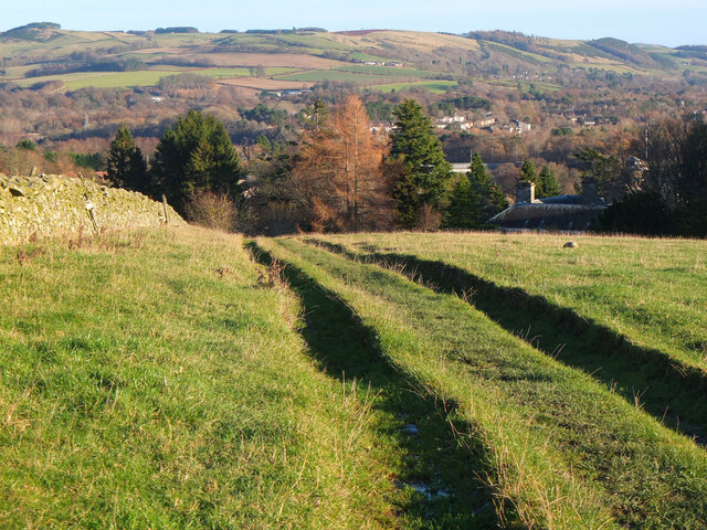
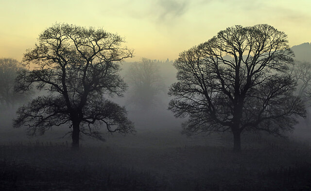
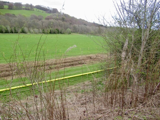
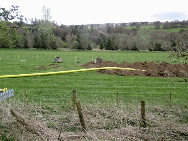
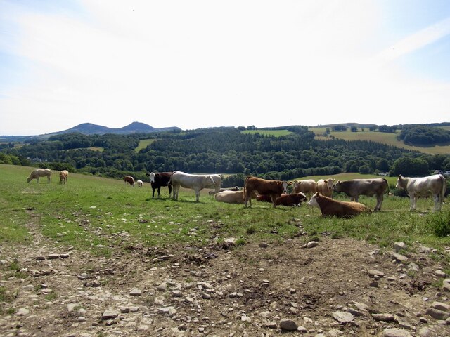
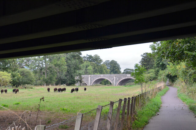
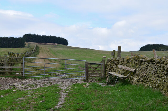
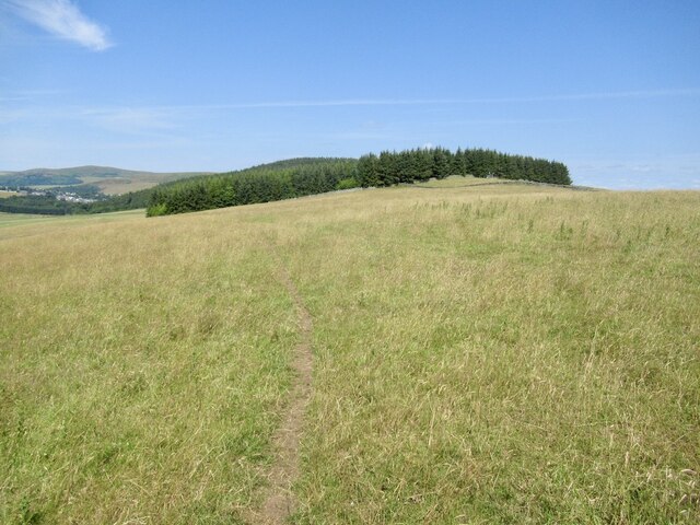
Faldonside Loch Images

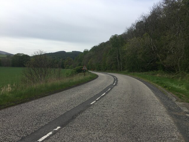
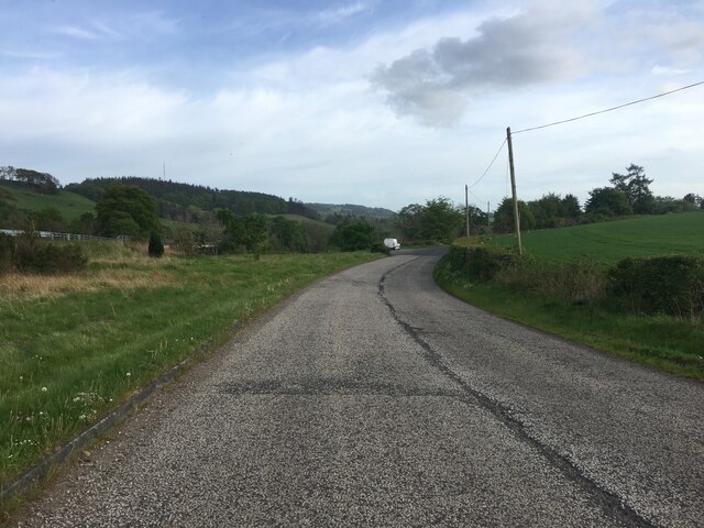
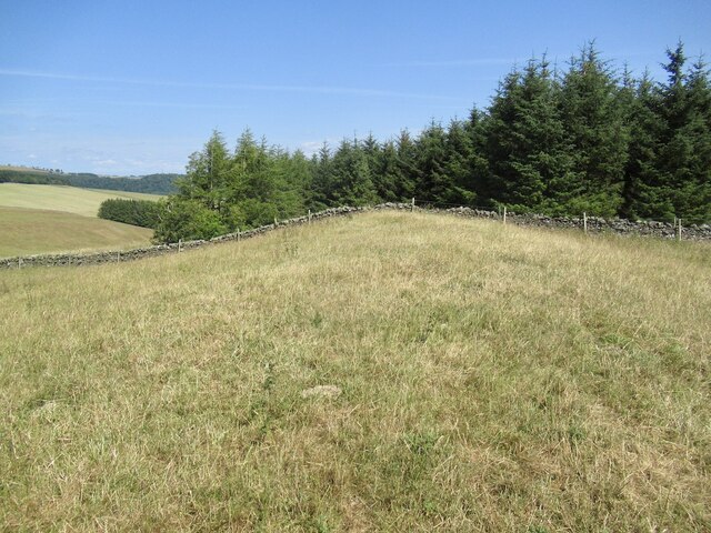
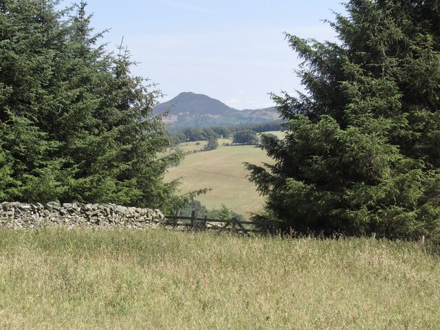
Images are sourced within 2km of 55.586541/-2.7861466 or Grid Reference NT5032. Thanks to Geograph Open Source API. All images are credited.

Southern Upland Way, Gala Hill The way descends towards the River Tweed to the south of Galashiels.
Southern Upland Way, Gala Hill
The way descends towards the River Tweed to the south of Galashiels.
Winter trees by the River Tweed Freezing fog was beginning to form in this dusk shot taken from Tweed Bridge.
Winter trees by the River Tweed
Freezing fog was beginning to form in this dusk shot taken from Tweed Bridge.
Tweed Bridge Once it carried the A7 it has now been refurbished as a cycle path.
Tweed Bridge
Once it carried the A7 it has now been refurbished as a cycle path.
Pipeline construction Between Galshiels and Selkirk
Pipeline construction
Between Galshiels and Selkirk
Pipeline construction
B6360 near Faldonside
B7060 towards Yair
B7060 towards Yair
Track above Netherbarns
Grassland on Gala Hill During a very dry Summer.
Grassland on Gala Hill
During a very dry Summer.
Cattle above Netherbarns
Old Tweed Bridge from the A7 bridge The cyclepath alongside the Tweed between Selkirk and Galashiels passes under the A7 bridge here with the Old Tweed Bridge or Rink Bridge in view. Sir Walter Scott laid the foundation stone for the latter in 1831.
Old Tweed Bridge from the A7 bridge
The cyclepath alongside the Tweed between Selkirk and Galashiels passes under the A7 bridge here with the Old Tweed Bridge or Rink Bridge in view. Sir Walter Scott laid the foundation stone for the latter in 1831.
Gates and seat, Gala Hill The Southern Upland Way turns right here on its traverse across the east side of Gala Hill.
Gates and seat, Gala Hill
The Southern Upland Way turns right here on its traverse across the east side of Gala Hill.
On Tooting Birks Hill Parched ground in a very dry Summer.
On Tooting Birks Hill
Parched ground in a very dry Summer.
Summit, Tooting Birks Hill
A gap in the trees, Tooting Birks Hill Giving a view of Eildon Mid Hill.
A gap in the trees, Tooting Birks Hill
Giving a view of Eildon Mid Hill.
Hollybush Loch A substantial loch below Mount Skep but not named on the 1:25,000 map.
Hollybush Loch
A substantial loch below Mount Skep but not named on the 1:25,000 map.
Swan Lake A solitary Swan on the pond south of Hollybush farm.
Swan Lake
A solitary Swan on the pond south of Hollybush farm.
Stubble field at Tweed Bridge Between the River Tweed and the B6360 to Abbotsford.
Stubble field at Tweed Bridge
Between the River Tweed and the B6360 to Abbotsford.
Show me another place!

Faldonside Loch is located at Grid Ref: NT5032 (Lat: 55.586541, Lng: -2.7861466)

Unitary Authority: The Scottish Borders

Police Authority: The Lothians and Scottish Borders

What 3 Words

///exporters.strays.distracts. Near Tweedbank, Scottish Borders

Related Wikis

Abbotsford Ferry railway station

Abbotsford Ferry railway station was a small railway station on the branch line from Galashiels to Selkirk railway station at Selkirk in the Scottish county...

Abbotsford, Scottish Borders

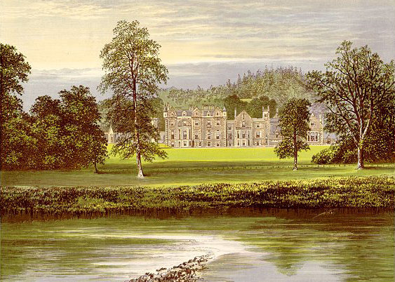
Abbotsford is a historic country house in the Scottish Borders, near Galashiels, on the south bank of the River Tweed. Now open to the public, it was built...

Boleside

Boleside is a village in the Scottish Borders area of Scotland, on the B7060, south of Galashiels. It is very close to the place where the Ettrick Water...

Ettrick Water

The Ettrick Water is a river in Ettrick, by the village of Ettrickbridge and the historic town of Selkirk, in the Scottish Borders area of Scotland. The...

Nearby Amenities

Located within 500m of 55.586541,-2.7861466
Natural: peak
Lat/Long: 55.5889338/-2.7832673
Faldonside
Place: hamlet
Lat/Long: 55.5871999/-2.791145
Upper Faldonside
Place: hamlet
Lat/Long: 55.5871475/-2.7804516
Power: pole
Lat/Long: 55.5889827/-2.790403
Power: pole
Lat/Long: 55.5890633/-2.789189
Power: pole
Lat/Long: 55.5889108/-2.7880794
Power: pole
Lat/Long: 55.5887396/-2.7869315
Power: pole
Lat/Long: 55.58858/-2.7858219
Power: pole
Lat/Long: 55.5884175/-2.7846282
Power: pole
Lat/Long: 55.5884419/-2.7836942
Power: pole
Lat/Long: 55.5884735/-2.7827703
Power: pole
Lat/Long: 55.5885095/-2.7818694
Power: pole
Lat/Long: 55.588288/-2.7815614
Power: pole
Lat/Long: 55.5879097/-2.7810168
Power: pole
Lat/Long: 55.5875243/-2.7804517
Power: pole
Lat/Long: 55.5870597/-2.7797748
Power: pole
Lat/Long: 55.587087/-2.7935869
Power: pole
Lat/Long: 55.5868094/-2.7932026
Power: pole
Lat/Long: 55.5864412/-2.7924951
The data included in this document is from www.openstreetmap.org. The data is made available under ODbL.

Have you been to Faldonside Loch?

Leave your review of Faldonside Loch below (or comments, questions and feedback).