Poolfontie

Lake, Pool, Pond, Freshwater Marsh in Aberdeenshire

Scotland

Poolfontie

Aftermath of Storm 'Arwen' Trees across a path in Coull Estate.
Aftermath of Storm 'Arwen' Credit: Alan Reid

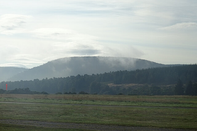
Poolfontie is a picturesque freshwater marsh located in Aberdeenshire, Scotland. Nestled amongst rolling green hills, this natural oasis is a haven for wildlife and a popular destination for nature enthusiasts.

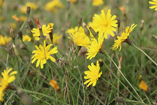
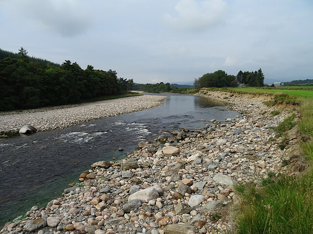
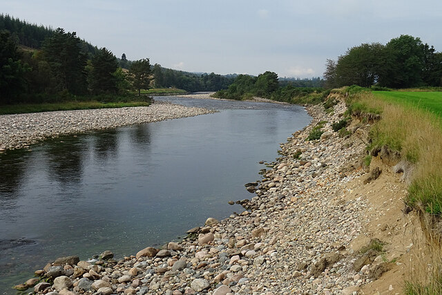
The main feature of Poolfontie is its expansive lake, which stretches across the marshland. The lake is surrounded by a diverse range of flora, including reeds, rushes, and water lilies. These plants provide shelter and food for a variety of birds and insects that call Poolfontie home.

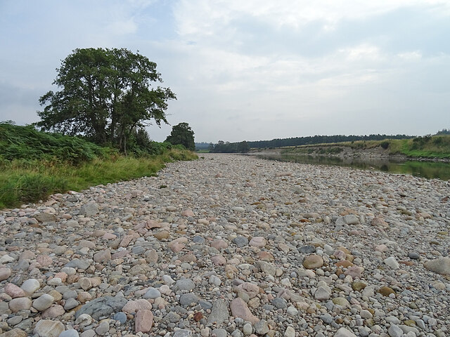
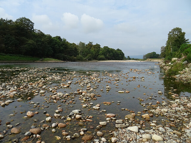
The pool itself is teeming with life, with numerous species of fish and amphibians inhabiting its depths. Anglers often visit Poolfontie in search of trout and perch, making it a popular spot for fishing enthusiasts. The tranquil waters also attract a wide array of waterfowl, including mallards, tufted ducks, and swans, creating a stunning visual spectacle.

In addition to the lake, Poolfontie boasts several smaller ponds scattered throughout the marshland. These ponds are characterized by their calm, crystal-clear waters, providing a stark contrast to the larger lake. These smaller bodies of water are home to an abundance of aquatic plants and invertebrates, attracting a diverse range of bird species and providing a valuable source of food and shelter for wildlife.

Visitors to Poolfontie can explore the marshland via a network of footpaths that wind their way through the area. These paths offer breathtaking views of the surrounding countryside and provide ample opportunities for birdwatching and photography. The serene atmosphere and the rich biodiversity of Poolfontie make it a must-visit destination for anyone seeking a peaceful retreat in the heart of Aberdeenshire.

If you have any feedback on the listing, please let us know in the comments section below.

Poolfontie Images

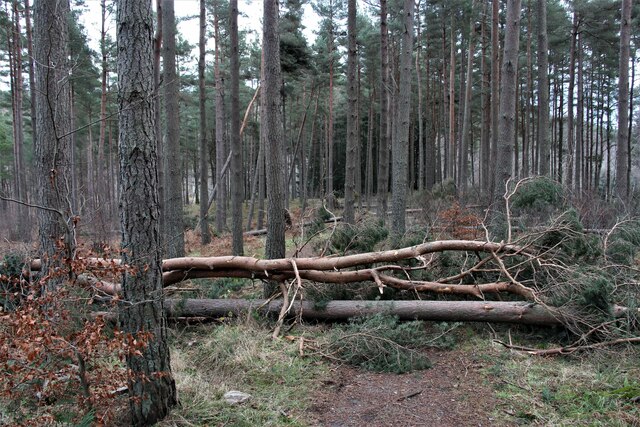
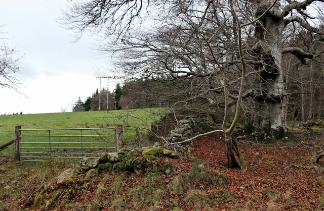
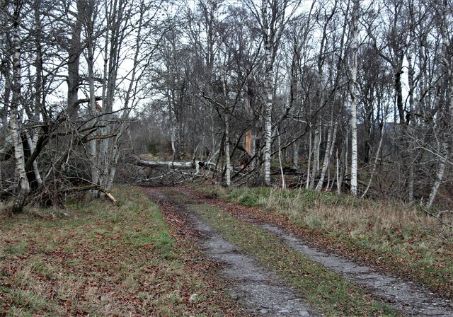
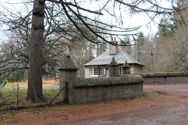
Images are sourced within 2km of 57.076891/-2.8173058 or Grid Reference NO5098. Thanks to Geograph Open Source API. All images are credited.

Aftermath of Storm 'Arwen' Trees across a path in Coull Estate.
Aftermath of Storm 'Arwen'
Trees across a path in Coull Estate.
Forest edge north of Aboyne
Aftermath of Storm 'Arwen' A blocked woodland track north of Aboyne.
Aftermath of Storm 'Arwen'
A blocked woodland track north of Aboyne.
Rhu-na-haven gate lodge
Tower o' Ess Overlooking River Tanar.
Tower o' Ess
Overlooking River Tanar.
A93 towards Aboyne
A93 towards Aboyne
A93 in Aboyne
A93 in Aboyne
Car Park in the Gloaming The car park at Aboyne Airfield at dusk.
Car Park in the Gloaming
The car park at Aboyne Airfield at dusk.
Clubhouse at Dusk Outside the gliding club house, the chairs stand empty as darkness approaches.
Clubhouse at Dusk
Outside the gliding club house, the chairs stand empty as darkness approaches.
Autumn Hawkbit (Scorzoneroides autumnalis) The short grass on the airfield is thickly carpeted with Autumn Hawkbit (no, they are *not* dandelions!), a testament to the undesirability of too rigorous mowing.
Autumn Hawkbit (Scorzoneroides autumnalis)
The short grass on the airfield is thickly carpeted with Autumn Hawkbit (no, they are *not* dandelions!), a testament to the undesirability of too rigorous mowing.
Morning Mist A few wisps of morning mist are dissipating, revealing lenticular clouds, a glider pilot's favourite, higher in the sky.
Morning Mist
A few wisps of morning mist are dissipating, revealing lenticular clouds, a glider pilot's favourite, higher in the sky.
The Grid Gliders to be flown by competitors in the UK Mountain Soaring Championships await their turn to be launched.
The Grid
Gliders to be flown by competitors in the UK Mountain Soaring Championships await their turn to be launched.
Shingle Bank The wide expanse of sand and shingle on the bank of the River Dee shows just how low the river level is after recent dry weather.
Shingle Bank
The wide expanse of sand and shingle on the bank of the River Dee shows just how low the river level is after recent dry weather.
River Dee The river is exceptionally low at the moment. Normally the pebbles and cobbles in the foreground would be under water.
River Dee
The river is exceptionally low at the moment. Normally the pebbles and cobbles in the foreground would be under water.
River Dee near Waterside Even though there is not much water in the river, there is enough for a small rapid to have formed here.
River Dee near Waterside
Even though there is not much water in the river, there is enough for a small rapid to have formed here.
River Dee Erosion Although the water is low and the river fairly slow at the moment, a look at the river bank on the right shows that it is not always so. The truncated edge of the grass, and the divots sliding down the slope below, show that the river has been undercutting and destabilising the bank on the outside of this meander.
River Dee Erosion
Although the water is low and the river fairly slow at the moment, a look at the river bank on the right shows that it is not always so. The truncated edge of the grass, and the divots sliding down the slope below, show that the river has been undercutting and destabilising the bank on the outside of this meander.
Butterflies on Buddleia The nearer one is a Small Tortoiseshell (Aglais urticae) and the other is a Peacock (Inachis io).
Butterflies on Buddleia
The nearer one is a Small Tortoiseshell (Aglais urticae) and the other is a Peacock (Inachis io).
Peacock Butterfly (Inachis io) A Peacock making the most of the nectar on a Buddleia bush.
Peacock Butterfly (Inachis io)
A Peacock making the most of the nectar on a Buddleia bush.
Show me another place!

Poolfontie is located at Grid Ref: NO5098 (Lat: 57.076891, Lng: -2.8173058)

Unitary Authority: Aberdeenshire

Police Authority: North East

What 3 Words

///haunt.defended.organisms. Near Aboyne, Aberdeenshire

Nearby Locations

Poolfontie

Related Wikis

Aboyne Academy

Aboyne Academy is a secondary school in Aboyne, Aberdeenshire, Scotland. The school is located on the Western side of the village and serves many other...

Water of Tanar

Water of Tanar is a river of the Grampian Mountains of Aberdeenshire, Scotland. It flows through Glen Tanar to join the River Dee at the mouth of the glen...

Aboyne

Aboyne (Scots: Abyne, Scottish Gaelic: Abèidh) is a village on the edge of the Highlands in Aberdeenshire, Scotland, on the River Dee, approximately 30...

Birsemore

Birsemore is a village in Aberdeenshire, Scotland opposite Aboyne on the River Dee. == References ==

Nearby Amenities

Located within 500m of 57.076891,-2.8173058
Bus Stop
Darroch Wood
Bench: yes
Bin: no
Bus: yes
Lit: yes
Naptan AtcoCode: 630046101
Naptan Bearing: E
Naptan CommonName: Darroch Wood
Naptan Indicator: at
Naptan Landmark: Minarloch Cottage
Naptan NaptanCode: 23629634
Naptan Street: A93
Public Transport: platform
Ref: 23629634
Shelter: yes
Tactile Paving: no
Lat/Long: 57.0770263/-2.8096088
Bus Stop
Darroch Wood
Bench: no
Bin: no
Bus: yes
Lit: yes
Naptan AtcoCode: 630046102
Naptan Bearing: W
Naptan CommonName: Darroch Wood
Naptan Indicator: opp
Naptan Landmark: Minarloch Cottage
Naptan NaptanCode: 23629646
Naptan Street: A93
Public Transport: platform
Ref: 23629646
Shelter: no
Tactile Paving: no
Lat/Long: 57.0769229/-2.8093166
804 end
Lat/Long: 57.0773136/-2.8133469
Passing Place
Lat/Long: 57.07559/-2.8119056
Passing Place
Lat/Long: 57.0750199/-2.8197057
Passing Place
Lat/Long: 57.0763432/-2.8150917
Passing Place
Lat/Long: 57.0767188/-2.8176978
Power: pole
Lat/Long: 57.0811094/-2.8184479
Power: pole
Lat/Long: 57.0808657/-2.8168475
Power: pole
Lat/Long: 57.0806319/-2.8152242
Power: pole
Lat/Long: 57.0803609/-2.8136046
Power: pole
Lat/Long: 57.080127/-2.8120587
Power: pole
Lat/Long: 57.0780974/-2.8225635
Power: pole
Lat/Long: 57.0786774/-2.8218729
Power: pole
Lat/Long: 57.079094/-2.8218423
Power: pole
Lat/Long: 57.0794622/-2.8218061
Power: pole
Lat/Long: 57.080077/-2.8217626
Traffic Calming: hump
Lat/Long: 57.0774684/-2.8092572
Generator Method: photovoltaic
Generator Output Electricity: small_installation
Generator Source: solar
Location: roof
Power: generator
Lat/Long: 57.07787/-2.8218944
Pillbox
Building: bunker
Bunker Type: pillbox
Military: bunker
Lat/Long: 57.0779171/-2.818464
The data included in this document is from www.openstreetmap.org. The data is made available under ODbL.

Have you been to Poolfontie?

Leave your review of Poolfontie below (or comments, questions and feedback).