Faldonside

Settlement in Roxburghshire

Scotland

Faldonside

Winter trees by the River Tweed Freezing fog was beginning to form in this dusk shot taken from Tweed Bridge.
Winter trees by the River Tweed Credit: Walter Baxter

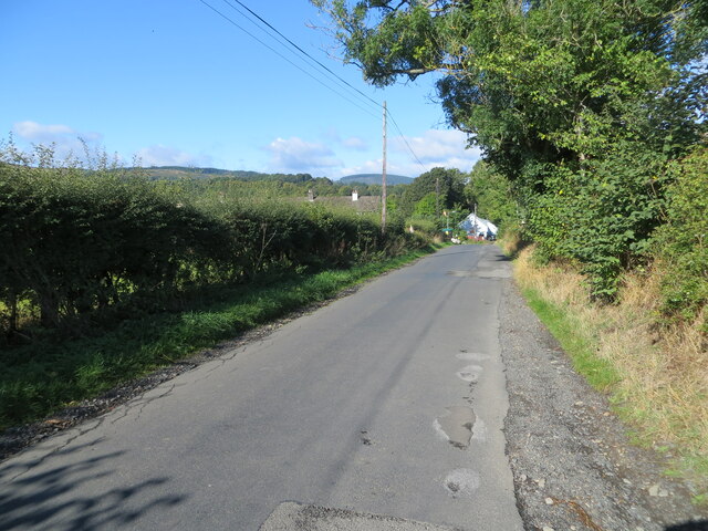
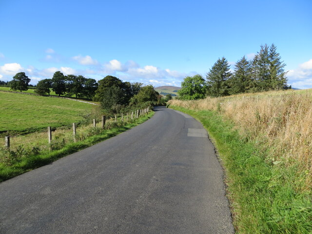
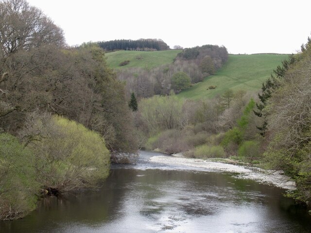
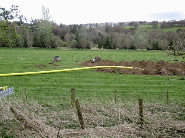
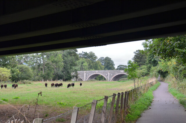
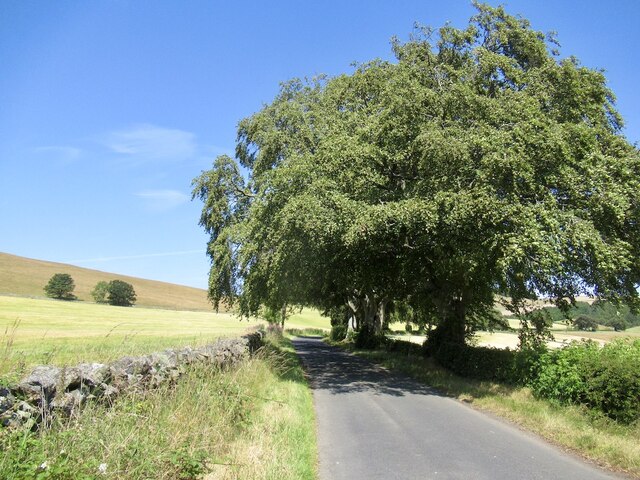
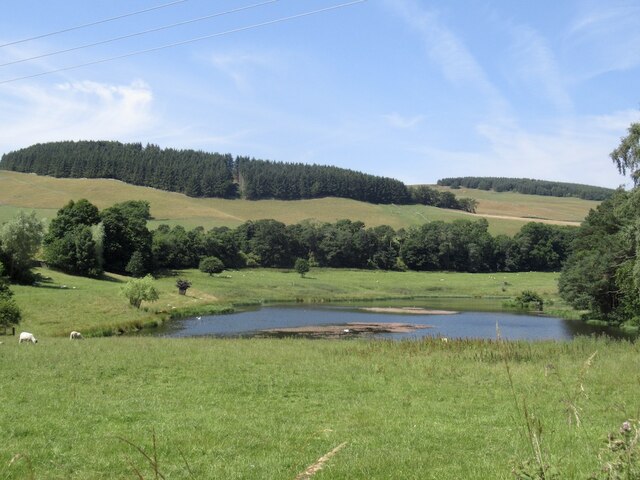
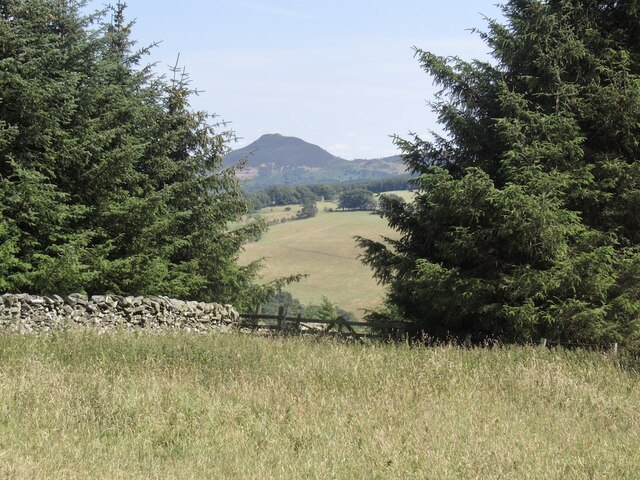
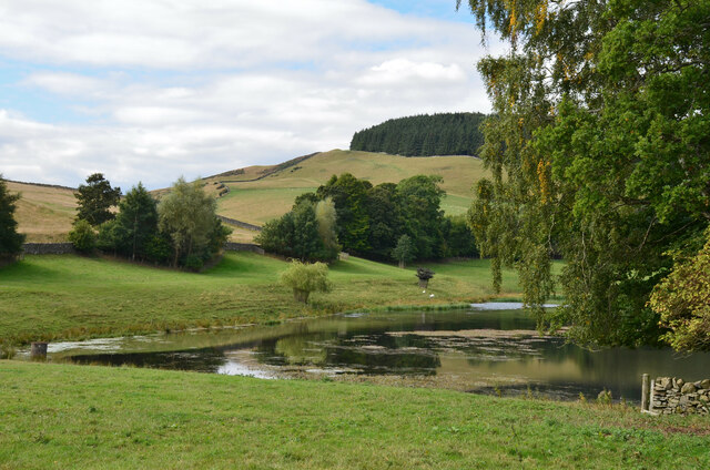
Faldonside is a small village located in the Scottish Borders region of Roxburghshire. Situated along the banks of the River Tweed, Faldonside is known for its picturesque countryside and historic architecture. The village is surrounded by lush green fields and rolling hills, making it a popular destination for outdoor enthusiasts and nature lovers.

Faldonside is home to a mix of traditional stone cottages and modern houses, creating a charming and welcoming atmosphere. The village has a strong sense of community, with local amenities including a village hall, church, and primary school. Residents of Faldonside enjoy a peaceful and tranquil way of life, away from the hustle and bustle of larger towns and cities.

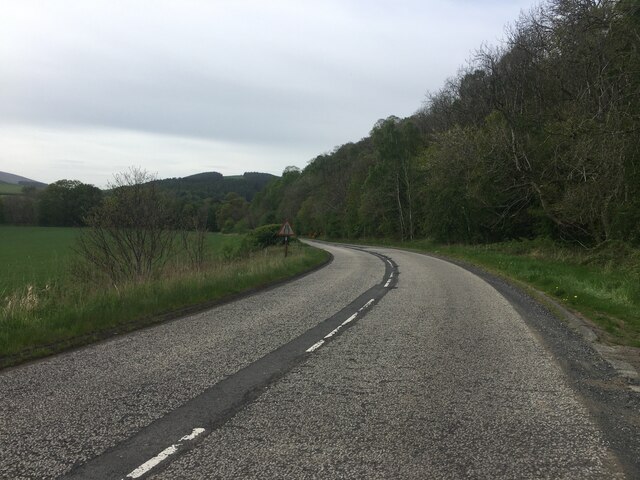
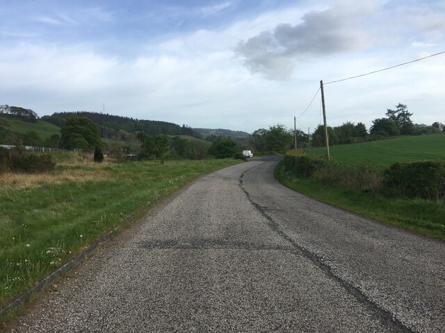
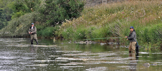
The surrounding area offers plenty of opportunities for outdoor activities such as fishing, hiking, and cycling. The nearby town of Melrose provides additional amenities and services, including shops, restaurants, and medical facilities. Faldonside is well-connected by road, with easy access to the A68 and A7 highways, making it a convenient location for those looking to explore the wider Roxburghshire region.

If you have any feedback on the listing, please let us know in the comments section below.

Faldonside Images

Images are sourced within 2km of 55.579073/-2.7946421 or Grid Reference NT5032. Thanks to Geograph Open Source API. All images are credited.

Winter trees by the River Tweed Freezing fog was beginning to form in this dusk shot taken from Tweed Bridge.
Winter trees by the River Tweed
Freezing fog was beginning to form in this dusk shot taken from Tweed Bridge.
Minor road approaching Lindean Hall Looking north-westward.
Minor road approaching Lindean Hall
Looking north-westward.
Minor road approaching Glenwhilt Looking westward.
Minor road approaching Glenwhilt
Looking westward.
Ettrick Water View downstream from Ettrick Bridge, a redundant alignment of the A7.
Ettrick Water
View downstream from Ettrick Bridge, a redundant alignment of the A7.
Tweed Bridge Once it carried the A7 it has now been refurbished as a cycle path.
Tweed Bridge
Once it carried the A7 it has now been refurbished as a cycle path.
Pipeline construction Between Galshiels and Selkirk
Pipeline construction
Between Galshiels and Selkirk
Pipeline construction
B6360 near Faldonside
B7060 towards Yair
B7060 towards Yair
Anglers on the River Tweed This stretch of the river is just upstream from Tweed Bridge and the junction with the Ettrick Water.
Anglers on the River Tweed
This stretch of the river is just upstream from Tweed Bridge and the junction with the Ettrick Water.
Old Tweed Bridge from the A7 bridge The cyclepath alongside the Tweed between Selkirk and Galashiels passes under the A7 bridge here with the Old Tweed Bridge or Rink Bridge in view. Sir Walter Scott laid the foundation stone for the latter in 1831.
Old Tweed Bridge from the A7 bridge
The cyclepath alongside the Tweed between Selkirk and Galashiels passes under the A7 bridge here with the Old Tweed Bridge or Rink Bridge in view. Sir Walter Scott laid the foundation stone for the latter in 1831.
Passing The Rink
Passing The Rink
Hollybush Loch
Hollybush Loch
A gap in the trees, Tooting Birks Hill Giving a view of Eildon Mid Hill.
A gap in the trees, Tooting Birks Hill
Giving a view of Eildon Mid Hill.
Hollybush Loch A substantial loch below Mount Skep but not named on the 1:25,000 map.
Hollybush Loch
A substantial loch below Mount Skep but not named on the 1:25,000 map.
A shelter by the River Tweed The shelter is by a fishing beat called Black Strand.
A shelter by the River Tweed
The shelter is by a fishing beat called Black Strand.
A frozen puddle by the River Tweed
Rust in peace The title of this photo is fairly common for this type of scene but it does seem appropriate. The remains of a small van or pick-up lie in a strip wood on the north side of the River Tweed at The Rink.
Rust in peace
The title of this photo is fairly common for this type of scene but it does seem appropriate. The remains of a small van or pick-up lie in a strip wood on the north side of the River Tweed at The Rink.
Show me another place!

Faldonside is located at Grid Ref: NT5032 (Lat: 55.579073, Lng: -2.7946421)

Unitary Authority: The Scottish Borders

Police Authority: The Lothians and Scottish Borders

What 3 Words

///perch.pupils.lawyer. Near Tweedbank, Scottish Borders

Related Wikis

Boleside

Boleside is a village in the Scottish Borders area of Scotland, on the B7060, south of Galashiels. It is very close to the place where the Ettrick Water...

Ettrick Water

The Ettrick Water is a river in Ettrick, by the village of Ettrickbridge and the historic town of Selkirk, in the Scottish Borders area of Scotland. The...

Abbotsford Ferry railway station

Abbotsford Ferry railway station was a small railway station on the branch line from Galashiels to Selkirk railway station at Selkirk in the Scottish county...

Lindean

Lindean is a village north of Selkirk and the Ettrick Water, in the Scottish Borders area of Scotland. In 1590 the parishioners of Lindean had permission...

Have you been to Faldonside?

Leave your review of Faldonside below (or comments, questions and feedback).