Falfield
Settlement in Gloucestershire
England
Falfield

Falfield is a small village located in Gloucestershire, England. It is situated near the River Severn and the M5 motorway, making it easily accessible for visitors and residents alike. The village is surrounded by picturesque countryside, with rolling hills and lush green fields.
Falfield is known for its quaint charm and peaceful atmosphere, making it a popular destination for those looking to escape the hustle and bustle of city life. The village has a few amenities, including a local pub and a small shop, providing residents with the essentials they need.
The community in Falfield is tight-knit and friendly, with residents often coming together for village events and activities. The village is also home to a primary school, providing education for local children.
Overall, Falfield is a lovely village with a strong sense of community and a beautiful natural setting. It offers a peaceful and idyllic lifestyle for those looking to enjoy the beauty of the Gloucestershire countryside.
If you have any feedback on the listing, please let us know in the comments section below.
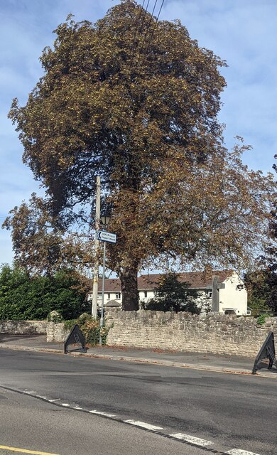
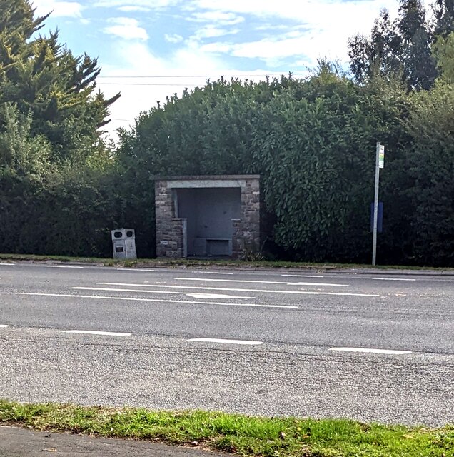
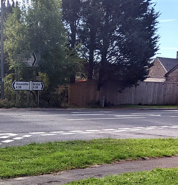
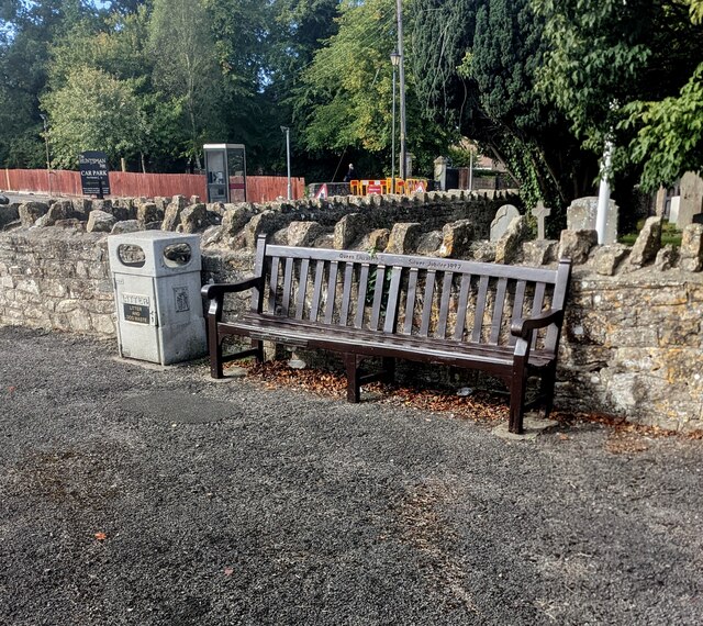
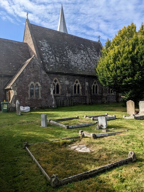
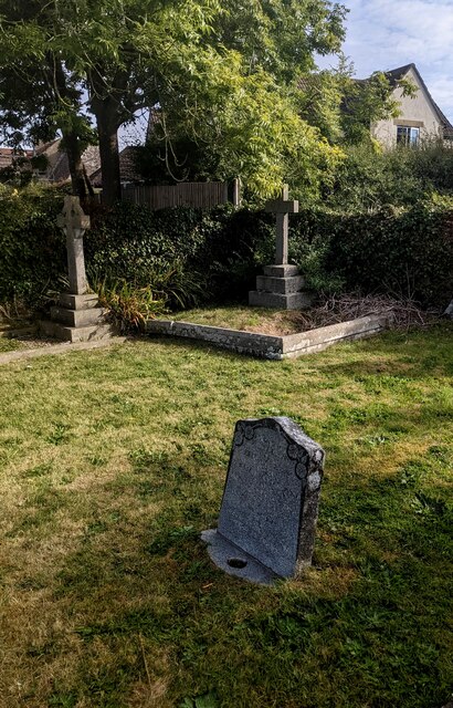
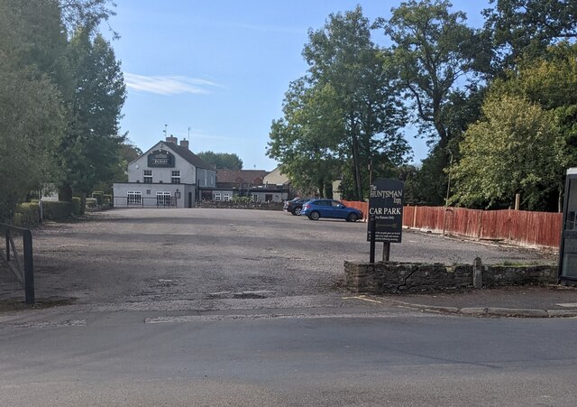
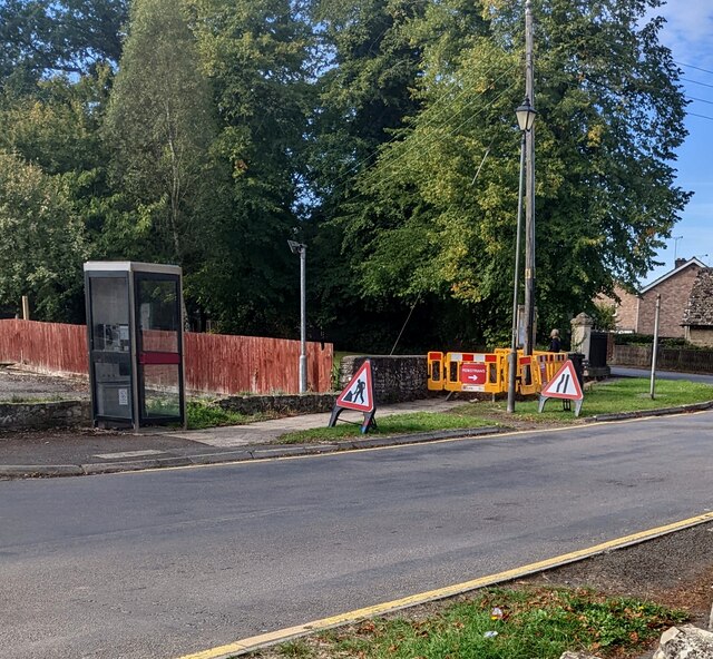
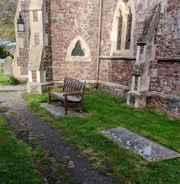
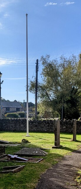
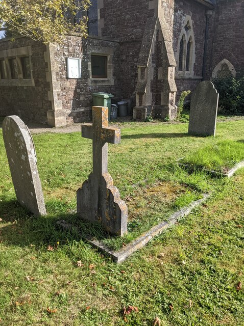
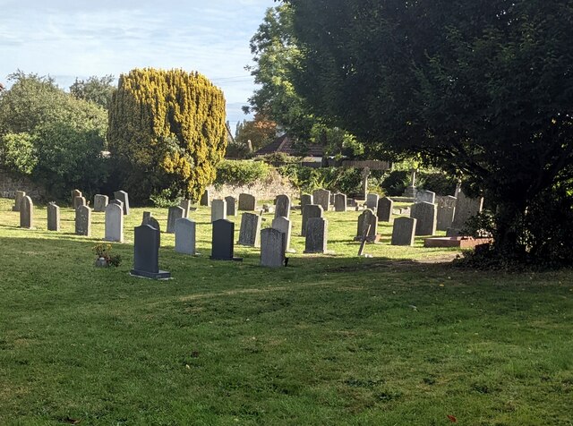
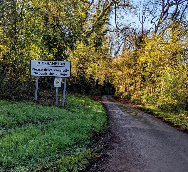
Falfield Images
Images are sourced within 2km of 51.637017/-2.460037 or Grid Reference ST6893. Thanks to Geograph Open Source API. All images are credited.
Falfield is located at Grid Ref: ST6893 (Lat: 51.637017, Lng: -2.460037)
Unitary Authority: South Gloucestershire
Police Authority: Avon and Somerset
What 3 Words
///bolsters.wrist.vowing. Near Falfield, Gloucestershire
Nearby Locations
Related Wikis

Falfield
Falfield is a village, located near the northern border of the South Gloucestershire district of Gloucestershire, England on the southern edge of the Berkeley...
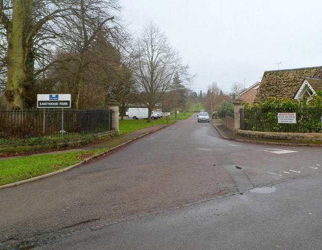
HM Prison Eastwood Park
HM Prison Eastwood Park is a women's closed category prison, located in the village of Falfield in South Gloucestershire, England. The prison is operated...

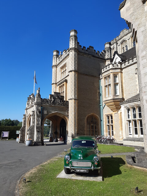
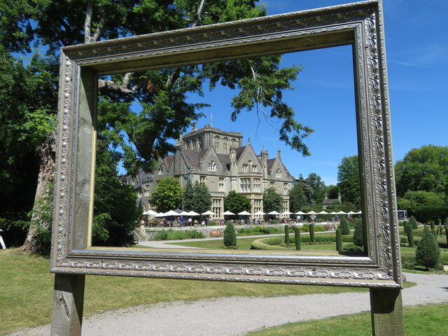
Tortworth Court
Tortworth Court is a Victorian mansion in Tortworth near Thornbury, South Gloucestershire. England. It was built in Tudor style for the 2nd Earl of Ducie...

HM Prison Leyhill
HM Prison Leyhill is a Category D men's prison located in the parish of Tortworth in Gloucestershire, England. His Majesty's Prison Service operates Leyhill...
Nearby Amenities
Located within 500m of 51.637017,-2.460037Have you been to Falfield?
Leave your review of Falfield below (or comments, questions and feedback).