Cairn Ford

Lake, Pool, Pond, Freshwater Marsh in Aberdeenshire

Scotland

Cairn Ford

Water treatment works at Craighead Reservoir
Water treatment works at Craighead Reservoir Credit: Alpin Stewart

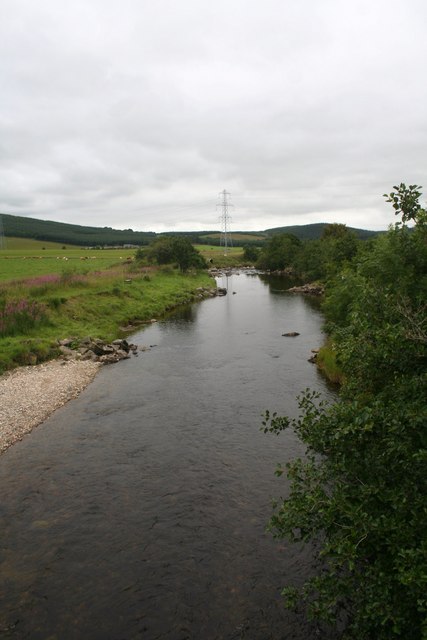
Cairn Ford is a scenic freshwater marsh located in Aberdeenshire, Scotland. Situated near the village of Cairnbulg, this natural water feature offers a serene and picturesque setting for visitors to enjoy.

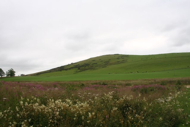
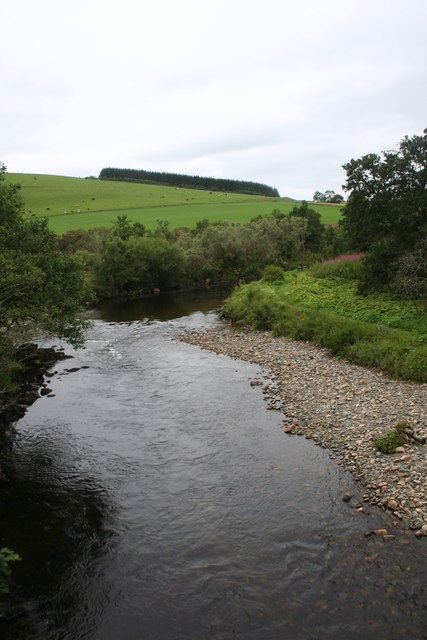
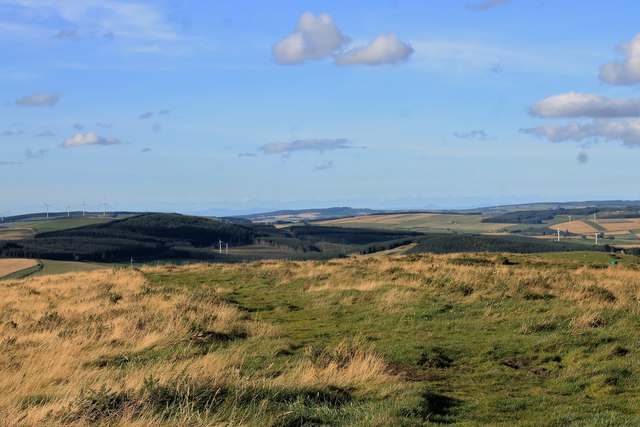
Covering an area of about 10 acres, Cairn Ford is characterized by its still waters, lush vegetation, and diverse wildlife. The marsh is fed by a combination of surface runoff and underground springs, ensuring a constant flow of freshwater throughout the year. This sustains a variety of aquatic plants, including water lilies, reeds, and rushes, which provide a habitat for numerous species of birds, insects, and small mammals.

The marsh is also home to a small population of fish, such as perch and pike, which thrive in its nutrient-rich waters. Anglers often visit Cairn Ford to try their luck at catching these species, while nature enthusiasts and photographers are drawn to the area for its stunning vistas and abundant wildlife.

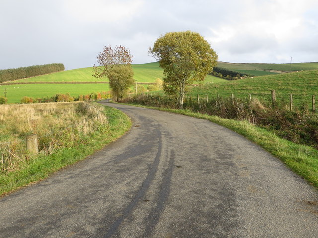
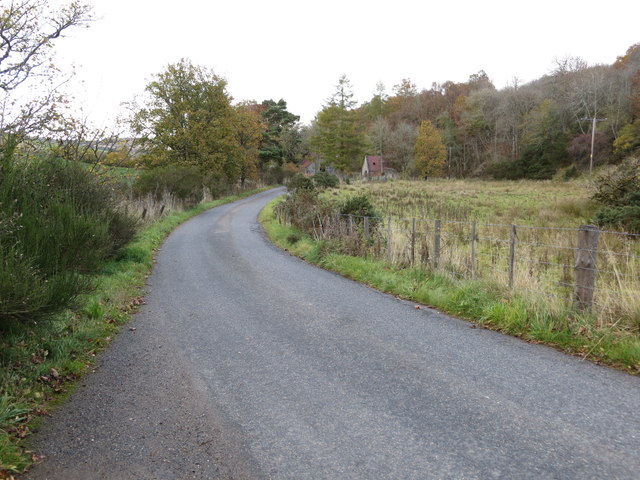
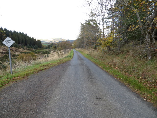
Surrounding the marsh, there are several walking trails and observation points that allow visitors to explore the diverse ecosystems and take in the beauty of the surrounding landscape. The tranquil atmosphere and natural beauty of Cairn Ford make it a popular destination for those seeking a peaceful retreat or an opportunity to connect with nature.

Overall, Cairn Ford in Aberdeenshire offers a harmonious blend of water, vegetation, and wildlife, creating an idyllic environment for both relaxation and exploration.

If you have any feedback on the listing, please let us know in the comments section below.
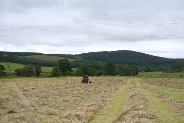
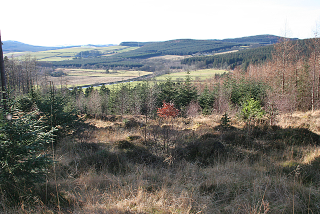
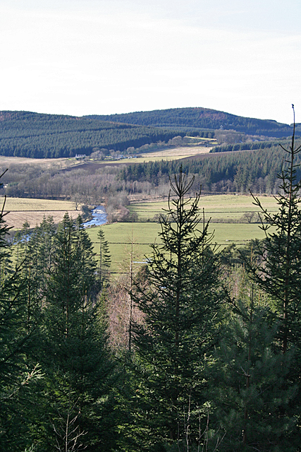
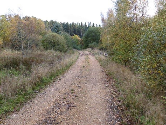
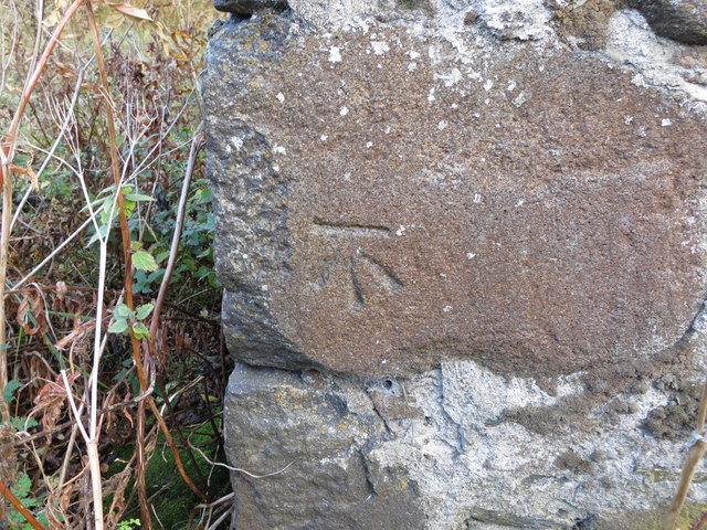
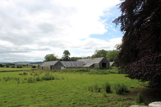
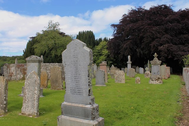
Cairn Ford Images

Images are sourced within 2km of 57.452379/-2.8580627 or Grid Reference NJ4840. Thanks to Geograph Open Source API. All images are credited.

Water treatment works at Craighead Reservoir
A920 towards Dufftown
Weeds and Clashmach Wild wetland with Clashmach Hill behind from Rob's Nook.
Weeds and Clashmach
Wild wetland with Clashmach Hill behind from Rob's Nook.
River Deveron The Deveron by Cairnford Bridge.
River Deveron
The Deveron by Cairnford Bridge.
Deveron Downstream The Deveron flowing away from Cairnford Bridge.
Deveron Downstream
The Deveron flowing away from Cairnford Bridge.
Hay Field Hay turning in a Deveronside field.
Hay Field
Hay turning in a Deveronside field.
River Deveron A gap in the trees just off the yellow route offers a view of a meander in the River Deveron.
River Deveron
A gap in the trees just off the yellow route offers a view of a meander in the River Deveron.
Deveron View When the foreground spruce trees have grown a little taller, this view of the River Deveron will be obscured.
Deveron View
When the foreground spruce trees have grown a little taller, this view of the River Deveron will be obscured.
North of Clashmach Both the top of the hill as it starts to descend and the hills to the north.
North of Clashmach
Both the top of the hill as it starts to descend and the hills to the north.
Lane leading to Wellheads Looking eastward.
Lane leading to Wellheads
Looking eastward.
Minor road approaching Tigh Fada Looking north-eastward.
Minor road approaching Tigh Fada
Looking north-eastward.
Minor road between Lower Gordonsburn and Tigh Fada Looking north-eastward.
Minor road between Lower Gordonsburn and Tigh Fada
Looking north-eastward.
Forest track heading towards Torry Hillock and Brown Hill Looking southward.
Forest track heading towards Torry Hillock and Brown Hill
Looking southward.
Ordnance Survey Cut Mark This mark can be found on the wall of a roadside building at Tigh Fada. The benchmark height is recorded as being 176.772 metres above sea level.
For more detail see : <span class="nowrap"><a title="https://www.bench-marks.org.uk/bm101700" rel="nofollow ugc noopener" href="https://www.bench-marks.org.uk/bm101700">Link</a><img style="margin-left:2px;" alt="External link" title="External link - shift click to open in new window" src="https://s1.geograph.org.uk/img/external.png" width="10" height="10"/></span>
Ordnance Survey Cut Mark
This mark can be found on the wall of a roadside building at Tigh Fada. The benchmark height is recorded as being 176.772 metres above sea level. For more detail see : LinkExternal link
Dunbennan Steading The steading of the farm at Dunbennan, seen from the south east end of the cemetery.
Dunbennan Steading
The steading of the farm at Dunbennan, seen from the south east end of the cemetery.
Dunbennan Cemetery Looking north west through the easterly side of Dunbennan Cemetery.
Dunbennan Cemetery
Looking north west through the easterly side of Dunbennan Cemetery.
Dunbennan Kirk The roofless vault reputedly incorporates the remains of the old kirk of Dunbennan.
Dunbennan Kirk
The roofless vault reputedly incorporates the remains of the old kirk of Dunbennan.
Dunbennan Pasture Sheep graze in grassland by Dunbennan churchyard with woodland behind.
Dunbennan Pasture
Sheep graze in grassland by Dunbennan churchyard with woodland behind.
Show me another place!

Cairn Ford is located at Grid Ref: NJ4840 (Lat: 57.452379, Lng: -2.8580627)

Unitary Authority: Aberdeenshire

Police Authority: North East

What 3 Words

///power.hurricane.adverbs. Near Huntly, Aberdeenshire

Related Wikis

Dunbennan

Dunbennan is a settlement near Huntly, Aberdeenshire, Scotland. The name comes from the Gaelic dun-beinnean, or the fort of the little hill, and originally...

Torry Burn, Huntly

Torry Burn is a burn which marks the boundary of the parish of Huntly, Aberdeenshire, Scotland. == References ==

Cairnie

Cairnie, also written Cairney, (Scottish Gaelic: CĂ rnaidh/A' ChĂ rnaich) is a village in Aberdeenshire, Scotland. It is in the district of Huntly. It has...

Kye Hill

Kye Hill is a hill by Huntly, Aberdeenshire, Scotland. It lies southwest of The Clashmach hill and is nearly the same height. There is a former limestone...

Nearby Amenities

Located within 500m of 57.452379,-2.8580627
Design: barrel
Power: tower
Lat/Long: 57.4540374/-2.8525702
Design: barrel
Power: tower
Lat/Long: 57.4559256/-2.8564632
Power: pole
Lat/Long: 57.4560325/-2.8533527
Power: pole
Lat/Long: 57.4554438/-2.8527761
Power: pole
Lat/Long: 57.4548572/-2.8522021
Material: wood
Power: pole
Lat/Long: 57.4541639/-2.8515369
Material: wood
Power: pole
Lat/Long: 57.453972/-2.8505592
Power: pole
Lat/Long: 57.4499602/-2.8648823
Power: pole
Lat/Long: 57.4499724/-2.8640232
Power: pole
Lat/Long: 57.4498714/-2.8628362
Power: pole
Lat/Long: 57.4497753/-2.8617737
Power: pole
Lat/Long: 57.4496829/-2.8606704
Power: pole
Lat/Long: 57.4495843/-2.859601
Power: pole
Lat/Long: 57.4494749/-2.8584706
Power: pole
Lat/Long: 57.4493739/-2.8573492
Power: pole
Lat/Long: 57.4496281/-2.8561872
Power: pole
Lat/Long: 57.4498848/-2.8550251
Power: pole
Lat/Long: 57.4501171/-2.8539806
Power: pole
Lat/Long: 57.450347/-2.8528909
Power: pole
Lat/Long: 57.4505836/-2.8518622
Power: pole
Lat/Long: 57.4508451/-2.8506595
Power: pole
Lat/Long: 57.4507703/-2.8543378
Power: pole
Lat/Long: 57.4513688/-2.8546702
Power: pole
Lat/Long: 57.452059/-2.8550364
Power: pole
Lat/Long: 57.4527426/-2.8553665
Power: pole
Lat/Long: 57.4533021/-2.8556401
Power: switch
Lat/Long: 57.4519548/-2.8498335
Frequency: 50
Location: outdoor
Power: transformer
Transformer: distribution
Voltage Primary: 275000
Voltage Secondary: 33000
Lat/Long: 57.452086/-2.8500576
The data included in this document is from www.openstreetmap.org. The data is made available under ODbL.

Have you been to Cairn Ford?

Leave your review of Cairn Ford below (or comments, questions and feedback).