Broombrae Pot

Lake, Pool, Pond, Freshwater Marsh in Aberdeenshire

Scotland

Broombrae Pot

Water treatment works at Craighead Reservoir
Water treatment works at Craighead Reservoir Credit: Alpin Stewart

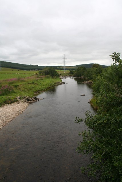
Broombrae Pot is a small freshwater marsh located in Aberdeenshire, Scotland. It is a natural feature consisting of a shallow body of water that resembles a small lake or pond. The pot is surrounded by lush vegetation, including reeds, grasses, and various aquatic plants.

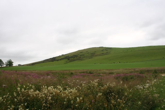
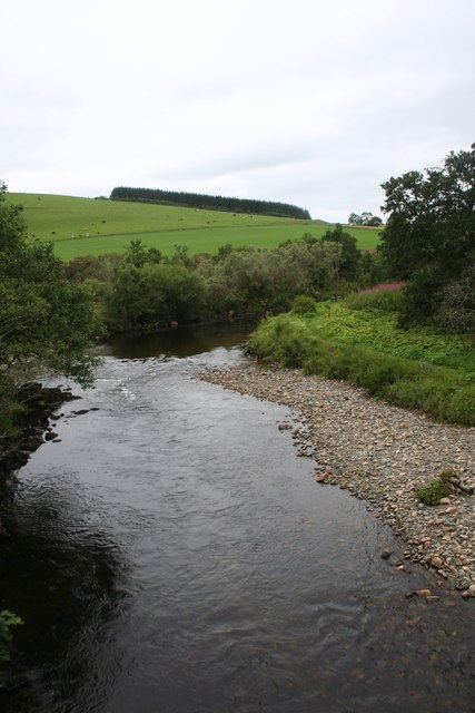
Covering an area of approximately one acre, Broombrae Pot is fed by a nearby stream and is home to a variety of freshwater species. The pot provides a rich habitat for aquatic plants and animals, serving as a vital ecosystem in the area. The water is typically clear and calm, creating a serene and tranquil environment.

The pot is known for its diverse bird population, attracting various species throughout the year. Common sightings include ducks, swans, and herons, which find shelter and food within the marsh's vegetation. The surrounding area also provides a habitat for other wildlife such as frogs, newts, and insects.

Broombrae Pot offers a peaceful retreat for nature enthusiasts and is a popular spot for birdwatching and wildlife photography. Visitors can enjoy the tranquil atmosphere while observing the diverse array of flora and fauna. The pot is easily accessible, with nearby parking and footpaths leading to its edge.

Overall, Broombrae Pot is a picturesque freshwater marsh that plays a significant role in supporting the local ecosystem. Its serene beauty and diverse wildlife make it a must-visit destination for nature lovers in Aberdeenshire.

If you have any feedback on the listing, please let us know in the comments section below.

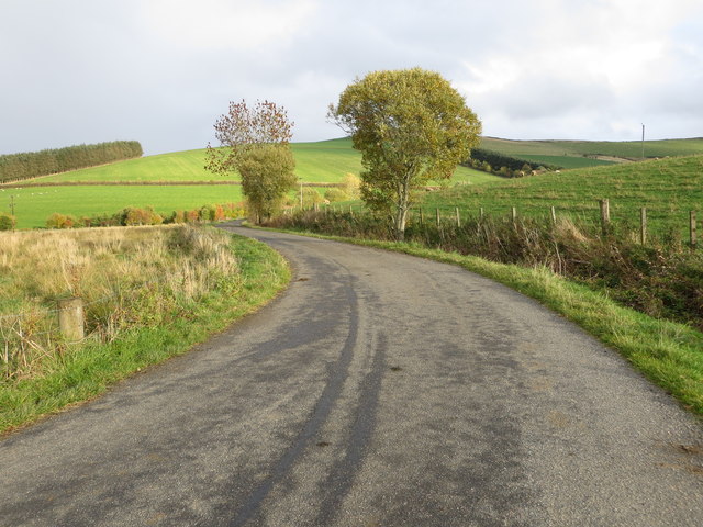
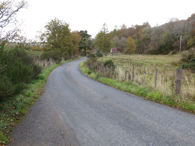
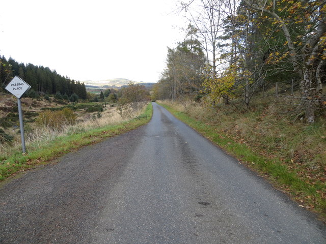
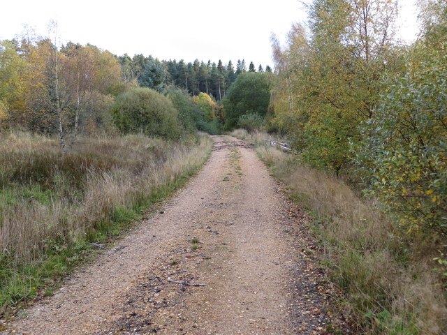
Broombrae Pot Images

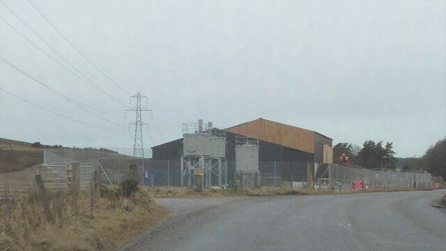
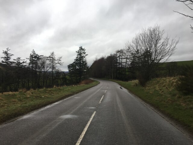
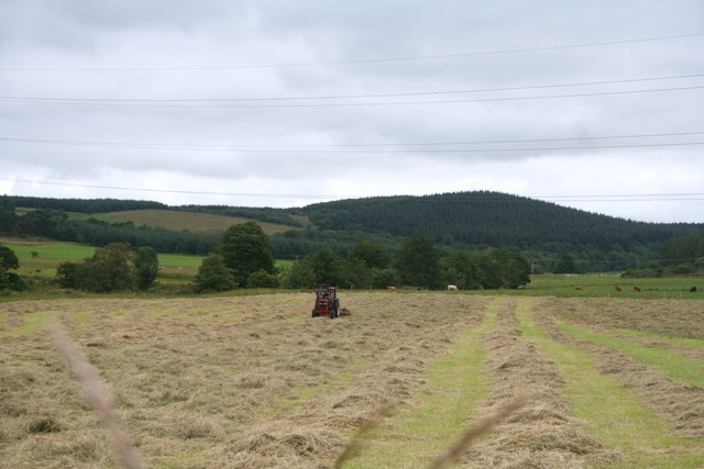
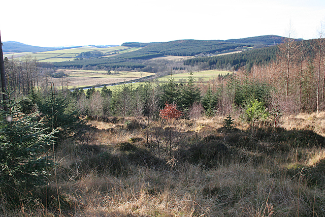
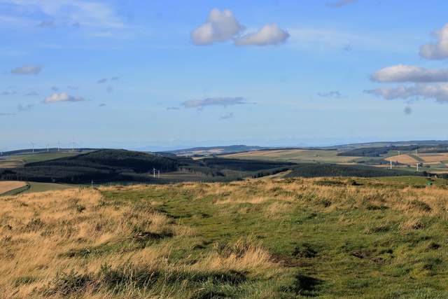
Images are sourced within 2km of 57.452284/-2.8614767 or Grid Reference NJ4840. Thanks to Geograph Open Source API. All images are credited.

Water treatment works at Craighead Reservoir
A920 towards Dufftown
Weeds and Clashmach Wild wetland with Clashmach Hill behind from Rob's Nook.
Weeds and Clashmach
Wild wetland with Clashmach Hill behind from Rob's Nook.
River Deveron The Deveron by Cairnford Bridge.
River Deveron
The Deveron by Cairnford Bridge.
Deveron Downstream The Deveron flowing away from Cairnford Bridge.
Deveron Downstream
The Deveron flowing away from Cairnford Bridge.
Hay Field Hay turning in a Deveronside field.
Hay Field
Hay turning in a Deveronside field.
River Deveron A gap in the trees just off the yellow route offers a view of a meander in the River Deveron.
River Deveron
A gap in the trees just off the yellow route offers a view of a meander in the River Deveron.
North of Clashmach Both the top of the hill as it starts to descend and the hills to the north.
North of Clashmach
Both the top of the hill as it starts to descend and the hills to the north.
Lane leading to Wellheads Looking eastward.
Lane leading to Wellheads
Looking eastward.
Minor road approaching Tigh Fada Looking north-eastward.
Minor road approaching Tigh Fada
Looking north-eastward.
Minor road between Lower Gordonsburn and Tigh Fada Looking north-eastward.
Minor road between Lower Gordonsburn and Tigh Fada
Looking north-eastward.
Forest track heading towards Torry Hillock and Brown Hill Looking southward.
Forest track heading towards Torry Hillock and Brown Hill
Looking southward.
Ordnance Survey Cut Mark This mark can be found on the wall of a roadside building at Tigh Fada. The benchmark height is recorded as being 176.772 metres above sea level.
For more detail see : <span class="nowrap"><a title="https://www.bench-marks.org.uk/bm101700" rel="nofollow ugc noopener" href="https://www.bench-marks.org.uk/bm101700">Link</a><img style="margin-left:2px;" alt="External link" title="External link - shift click to open in new window" src="https://s1.geograph.org.uk/img/external.png" width="10" height="10"/></span>
Ordnance Survey Cut Mark
This mark can be found on the wall of a roadside building at Tigh Fada. The benchmark height is recorded as being 176.772 metres above sea level. For more detail see : LinkExternal link
Dunbennan Pasture Sheep graze in grassland by Dunbennan churchyard with woodland behind.
Dunbennan Pasture
Sheep graze in grassland by Dunbennan churchyard with woodland behind.
Dunbennan Yews The west side of Dunbennan Cemetery with a view of its Yews which greets you as you enter.
Dunbennan Yews
The west side of Dunbennan Cemetery with a view of its Yews which greets you as you enter.
Dunbennan Wood Seen across a grass field this part of Dunbennan Wood lies off the northwest face of the Cemetery
Dunbennan Wood
Seen across a grass field this part of Dunbennan Wood lies off the northwest face of the Cemetery
From A920 farmland
From A920 farmland
Boulders from the Fields There's an uncultivated hollow here, which has been used as a handy spot for dumping boulders cleared from the surrounding fields. At the far side of the field are the ruins of St Peter's Church.
Boulders from the Fields
There's an uncultivated hollow here, which has been used as a handy spot for dumping boulders cleared from the surrounding fields. At the far side of the field are the ruins of St Peter's Church.
Show me another place!

Broombrae Pot is located at Grid Ref: NJ4840 (Lat: 57.452284, Lng: -2.8614767)

Unitary Authority: Aberdeenshire

Police Authority: North East

What 3 Words

///beard.fantastic.beginning. Near Huntly, Aberdeenshire

Related Wikis

Dunbennan

Dunbennan is a settlement near Huntly, Aberdeenshire, Scotland. The name comes from the Gaelic dun-beinnean, or the fort of the little hill, and originally...

Torry Burn, Huntly

Torry Burn is a burn which marks the boundary of the parish of Huntly, Aberdeenshire, Scotland. == References ==

Cairnie

Cairnie, also written Cairney, (Scottish Gaelic: CĂ rnaidh/A' ChĂ rnaich) is a village in Aberdeenshire, Scotland. It is in the district of Huntly. It has...

Kye Hill

Kye Hill is a hill by Huntly, Aberdeenshire, Scotland. It lies southwest of The Clashmach hill and is nearly the same height. There is a former limestone...

Nearby Amenities

Located within 500m of 57.452284,-2.8614767
Power: pole
Lat/Long: 57.4486012/-2.8650093
Power: pole
Lat/Long: 57.4493063/-2.865443
Power: pole
Lat/Long: 57.4499882/-2.8658974
Power: pole
Lat/Long: 57.4495603/-2.867576
Power: pole
Lat/Long: 57.4498389/-2.8664886
Power: pole
Lat/Long: 57.4499602/-2.8648823
Power: pole
Lat/Long: 57.4499724/-2.8640232
Power: pole
Lat/Long: 57.4498714/-2.8628362
Power: pole
Lat/Long: 57.4497753/-2.8617737
Power: pole
Lat/Long: 57.4496829/-2.8606704
Power: pole
Lat/Long: 57.4495843/-2.859601
Power: pole
Lat/Long: 57.4494749/-2.8584706
Power: pole
Lat/Long: 57.4493739/-2.8573492
Power: pole
Lat/Long: 57.4496281/-2.8561872
Power: pole
Lat/Long: 57.4498848/-2.8550251
Power: pole
Lat/Long: 57.4507703/-2.8543378
Power: pole
Lat/Long: 57.4513688/-2.8546702
Power: pole
Lat/Long: 57.452059/-2.8550364
Power: pole
Lat/Long: 57.4527426/-2.8553665
Power: pole
Lat/Long: 57.4533021/-2.8556401
The data included in this document is from www.openstreetmap.org. The data is made available under ODbL.

Have you been to Broombrae Pot?

Leave your review of Broombrae Pot below (or comments, questions and feedback).