Rough Mires

Lake, Pool, Pond, Freshwater Marsh in Aberdeenshire

Scotland

Rough Mires

Milltown Buildings By mill stream.
Milltown Buildings Credit: Stanley Howe

Rough Mires is a remarkable freshwater marsh located in Aberdeenshire, Scotland. Nestled amidst picturesque landscapes, this wetland area encompasses a variety of habitats including lakes, pools, ponds, and marshes, making it a haven for diverse flora and fauna.

The main feature of Rough Mires is the expansive lake that dominates the area. This serene body of water is surrounded by lush vegetation, including reeds, rushes, and sedges. The lake serves as a vital water source for numerous species of birds, amphibians, and insects that rely on its rich resources for survival.

Adjacent to the lake, there are several smaller pools and ponds scattered throughout Rough Mires. These smaller water bodies offer a unique microhabitat for aquatic plants such as water lilies and floating mosses. They also attract a diverse range of water-dwelling creatures, including dragonflies, damselflies, and various species of fish.

The freshwater marsh within Rough Mires is a crucial component of the wetland ecosystem. It is characterized by waterlogged soil and is home to a plethora of wetland plants, such as marsh marigolds and bog cotton. This marshy area serves as a breeding ground for various amphibians, including frogs, toads, and newts.

Rough Mires is not only a haven for wildlife but also a popular destination for nature enthusiasts. Visitors can explore the area on designated trails and birdwatching platforms, allowing them to observe the diverse range of bird species that inhabit the wetland. Additionally, educational programs and guided tours are available to enhance visitors' understanding and appreciation of this unique ecosystem.

Overall, Rough Mires in Aberdeenshire is a fascinating wetland area, offering a diverse range of habitats that support a wide variety of plant and animal life. Its scenic beauty and ecological significance make it a valuable natural asset in the region.

If you have any feedback on the listing, please let us know in the comments section below.

Rough Mires Images

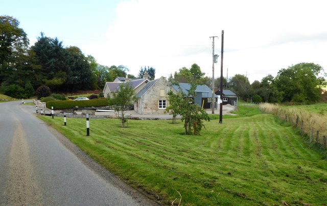
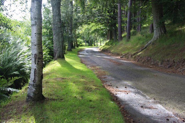
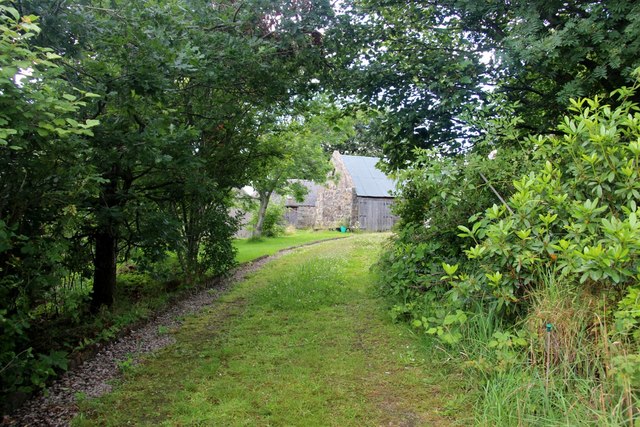
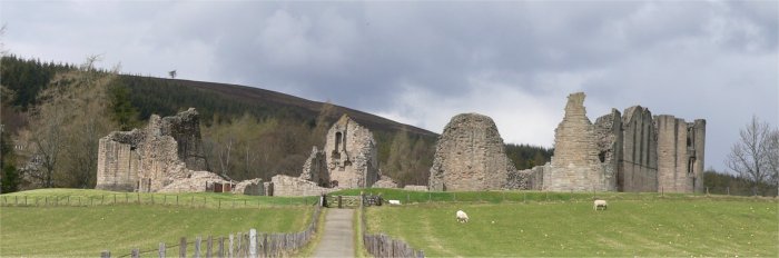
Images are sourced within 2km of 57.244374/-2.8529411 or Grid Reference NJ4817. Thanks to Geograph Open Source API. All images are credited.

Milltown Buildings By mill stream.
Milltown Buildings
By mill stream.
Track from Milltown Cottage Towards Milltown of Kildrummy mills.
Track from Milltown Cottage
Towards Milltown of Kildrummy mills.
Shingle bank on the River Don Opposite Corbouies Wood.
Shingle bank on the River Don
Opposite Corbouies Wood.
Keepers' Cottage at Ardhuncart Lodge
Tree-lined drive to Ardhuncart Lodge
Wooded farmland of Brux
Tree lined driveway to Howmill
Elphinstone aisle, St Bride's Church The south aisle (wing) was built ca. 1605 (restored 1862) and was presumably part of a T-plan kirk (see: <span class="nowrap"><a title="https://en.wikipedia.org/wiki/Church_architecture_in_Scotland" rel="nofollow ugc noopener" href="https://en.wikipedia.org/wiki/Church_architecture_in_Scotland">Link</a><img style="margin-left:2px;" alt="External link" title="External link - shift click to open in new window" src="https://s1.geograph.org.uk/img/external.png" width="10" height="10"/></span> ) but where was the pulpit?  The rest of St Bride's (Bridget's) kirk is a ruin, having been replaced by the parish kirk next door in 1805.
Elphinstone aisle, St Bride's Church
The south aisle (wing) was built ca. 1605 (restored 1862) and was presumably part of a T-plan kirk (see: LinkExternal link ) but where was the pulpit? The rest of St Bride's (Bridget's) kirk is a ruin, having been replaced by the parish kirk next door in 1805.
'Ane Honorabile Man' Tomb of John Reid (d. 1563), now set into the remains of the north wall of St Bride's kirk, Kildrummy.  The blazon could(?) be azure three stags' heads erased or.
'Ane Honorabile Man'
Tomb of John Reid (d. 1563), now set into the remains of the north wall of St Bride's kirk, Kildrummy. The blazon could(?) be azure three stags' heads erased or.
Lumsden grave slab, Kildrummy kirkyard The sandstone slab from 1730 is sheltered from the elements by wooden shutters.
Lumsden grave slab, Kildrummy kirkyard
The sandstone slab from 1730 is sheltered from the elements by wooden shutters.
Harvested fields, Kildrummy... ...as viewed from the kirkyard.
Harvested fields, Kildrummy...
...as viewed from the kirkyard.
Kildrummy kirk (curse of the scaffolding) The A-listed kirk from 1805 undergoing major repairs/renovations to walls and roof in summer 2017.  The large windows on the south-side flanking the pulpit are boarded over for protection.  See The Architecture of Scottish Post Reformation Churches by George Hay (p. 117) for more.   The raised kirkyard (and site of St Bride's church) is visible to the right.
Kildrummy kirk (curse of the scaffolding)
The A-listed kirk from 1805 undergoing major repairs/renovations to walls and roof in summer 2017. The large windows on the south-side flanking the pulpit are boarded over for protection. See The Architecture of Scottish Post Reformation Churches by George Hay (p. 117) for more. The raised kirkyard (and site of St Bride's church) is visible to the right.
Harvest time by the River Don View from near Gateside, Milltown of Kildrummy. Wooded Drumgoudrum Hill in the background.
Harvest time by the River Don
View from near Gateside, Milltown of Kildrummy. Wooded Drumgoudrum Hill in the background.
Gateside, Milltown of Kildrummy At the foot of wooded Bogneish Hill.
Gateside, Milltown of Kildrummy
At the foot of wooded Bogneish Hill.
Milltown of Kildrummy On a minor road down Donside.
Milltown of Kildrummy
On a minor road down Donside.
Old stone mill buildings Milltown of Kildrummy.
Old stone mill buildings
Milltown of Kildrummy.
St Bride's Kirk, Kildrummy, undergoing roof repair Seen from the minor road by Templeton, over Priest's Rig and grazing cattle, with Ardhuncart Hill in the background.
St Bride's Kirk, Kildrummy, undergoing roof repair
Seen from the minor road by Templeton, over Priest's Rig and grazing cattle, with Ardhuncart Hill in the background.
Minor road from Templeton to Milltown of Kildrummy Over School Hill, past Priests Rigg on the left.
Minor road from Templeton to Milltown of Kildrummy
Over School Hill, past Priests Rigg on the left.
Show me another place!

Rough Mires is located at Grid Ref: NJ4817 (Lat: 57.244374, Lng: -2.8529411)

Unitary Authority: Aberdeenshire

Police Authority: North East

What 3 Words

///sensible.devours.blissful. Near Alford, Aberdeenshire

Nearby Locations

Rough Mires

Related Wikis

Brux Castle

Brux Castle was a castle of the Forbeses, about 1.5 miles (2.4 km) east of Kildrummy, Aberdeenshire, Scotland, south of the river Don. The castle was...

Kildrummy

Kildrummy (Scottish Gaelic: Cionn Droma) is a hamlet in Aberdeenshire, Scotland near the River Don, 7 miles (11 kilometres) west of Alford. The hamlet...

Mossat

Mossat is a settlement in Aberdeenshire, Scotland on the A97 road near Glenkindie and Lumsden, between Bridge of Alford and Strathdon, and is situated...

Kildrummy Castle

Kildrummy Castle is a ruined castle near Kildrummy, in Aberdeenshire, Scotland. Though ruined, it is one of the most extensive castles dating from the...

Nearby Amenities

Located within 500m of 57.244374,-2.8529411
Power: pole
Lat/Long: 57.2458243/-2.8462504
Power: pole
Lat/Long: 57.246148/-2.8473839
Power: pole
Lat/Long: 57.2464663/-2.8484854
Power: pole
Lat/Long: 57.2468073/-2.8496497
Power: pole
Lat/Long: 57.2471264/-2.8507554
Power: pole
Lat/Long: 57.2474371/-2.8518318
Power: pole
Lat/Long: 57.2471799/-2.8525945
Power: pole
Lat/Long: 57.2469657/-2.8532233
Power: pole
Lat/Long: 57.246928/-2.8545576
Power: pole
Lat/Long: 57.2468978/-2.855892
Power: pole
Lat/Long: 57.2468737/-2.8572375
Power: pole
Lat/Long: 57.2468382/-2.8585691
Power: pole
Lat/Long: 57.2468156/-2.8598044
Power: pole
Lat/Long: 57.2464542/-2.8540431
Power: pole
Lat/Long: 57.2459654/-2.8548295
Power: pole
Lat/Long: 57.245469/-2.855648
The data included in this document is from www.openstreetmap.org. The data is made available under ODbL.

Have you been to Rough Mires?

Leave your review of Rough Mires below (or comments, questions and feedback).