Battlebog Pot

Lake, Pool, Pond, Freshwater Marsh in Aberdeenshire

Scotland

Battlebog Pot

Aswanley Castle The castle is a private residence and not open to the public. There was no possibility, to get a little bit closer for a better shoot.
The river in front of the castle is the River Deveron.
Aswanley Castle Credit: Astrid H

Battlebog Pot is a natural freshwater marsh located in Aberdeenshire, Scotland. Spanning a total area of approximately 10 acres, it is an important ecological site known for its diverse flora and fauna.

The pot takes its name from the Old English word "bog," which refers to a wetland area characterized by waterlogged soil and peat deposits. It is situated within the larger Battlebog Wood, a designated Site of Special Scientific Interest (SSSI) due to its rich biodiversity.

The pot itself is a shallow body of water, resembling a small lake or a large pond. It is surrounded by dense vegetation, including reeds, sedges, and rushes, which provide an ideal habitat for various wetland species. The water is predominantly freshwater, with a pH level suitable for sustaining a wide range of aquatic plants and animals.

The pot serves as an important breeding ground for several bird species, such as mallards, coots, and moorhens. It also attracts a variety of wildlife, including common frogs, water voles, and dragonflies. The surrounding woodland provides additional habitat for woodland species like red squirrels and woodpeckers.

While Battlebog Pot is not open to public swimming or boating activities, it is a popular destination for nature enthusiasts and bird-watchers. Visitors can observe the diverse wildlife from designated viewing areas or explore the nearby woodland trails. The site is well-maintained with informative signage and offers a peaceful and serene atmosphere for those seeking to connect with nature.

If you have any feedback on the listing, please let us know in the comments section below.

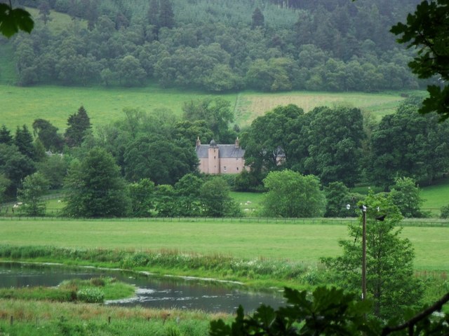
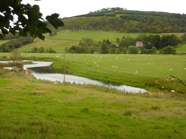
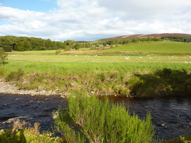
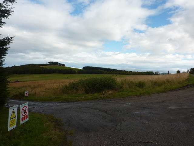
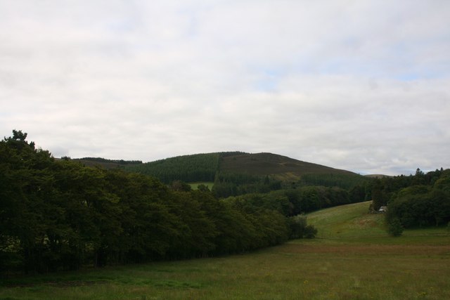
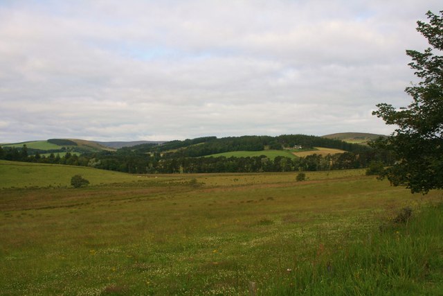
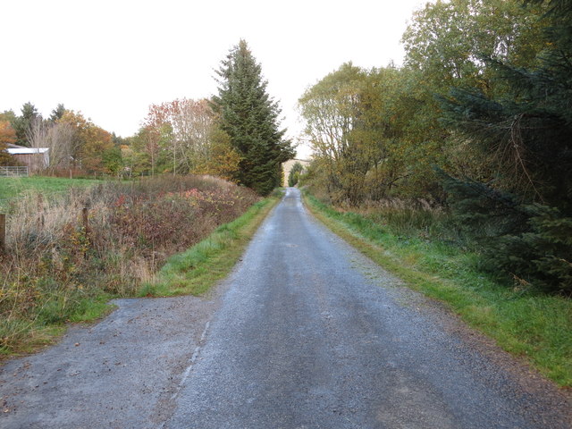
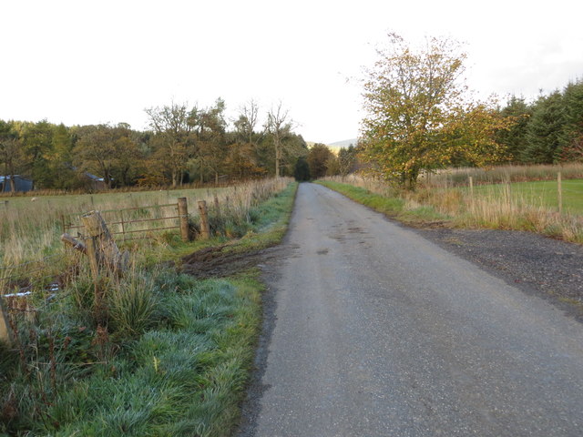
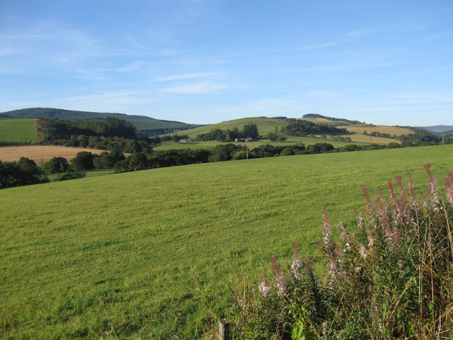
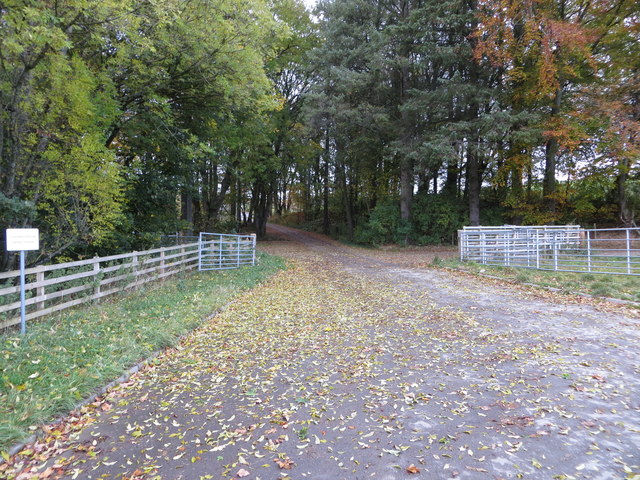
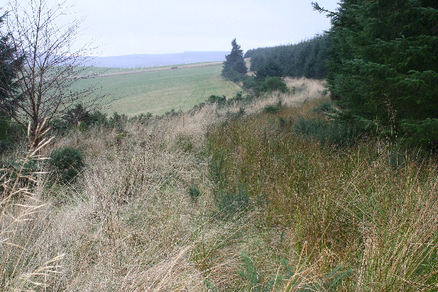
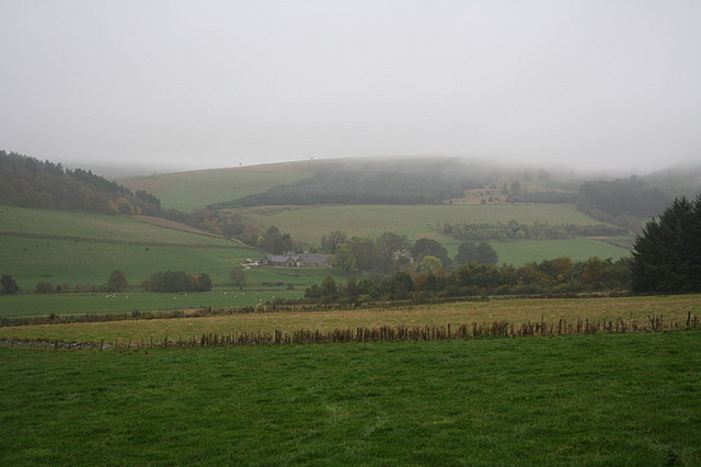
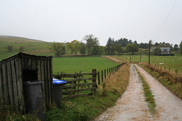
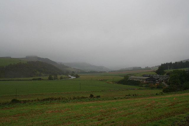
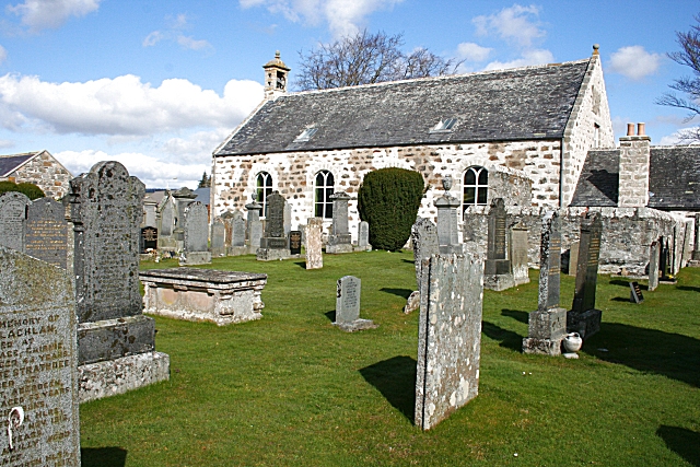
Battlebog Pot Images

Images are sourced within 2km of 57.450961/-2.8979395 or Grid Reference NJ4640. Thanks to Geograph Open Source API. All images are credited.

Aswanley Castle The castle is a private residence and not open to the public. There was no possibility, to get a little bit closer for a better shoot.
The river in front of the castle is the River Deveron.
Aswanley Castle
The castle is a private residence and not open to the public. There was no possibility, to get a little bit closer for a better shoot. The river in front of the castle is the River Deveron.
Mains of Aswanley Mains in Scotland normally refers to the main buildings of a farm. This may include a farmhouse, farm buildings such as a byre and dairy, and workers' cottages.
The mains was usually the principal farm on an estate, or at least the one with the most fertile ground. The Laird's house - if there was one - may have been nearby or some distance away but is not usually part of the mains. The equivalent in England would be a home farm or perhaps a manor.
Mains of Aswanley
Mains in Scotland normally refers to the main buildings of a farm. This may include a farmhouse, farm buildings such as a byre and dairy, and workers' cottages. The mains was usually the principal farm on an estate, or at least the one with the most fertile ground. The Laird's house - if there was one - may have been nearby or some distance away but is not usually part of the mains. The equivalent in England would be a home farm or perhaps a manor.
River Deveron at Aswanley Looking north towards Straitinnan at Wester Boghead.
River Deveron at Aswanley
Looking north towards Straitinnan at Wester Boghead.
Euroforest on Aswanley Estate The track on the left leads down into forest, with ongoing forestry operations, and associated Health & Safety signs.
Euroforest on Aswanley Estate
The track on the left leads down into forest, with ongoing forestry operations, and associated Health & Safety signs.
Both Hill The wooded Both Hill by Belnaboth.
Both Hill
The wooded Both Hill by Belnaboth.
Pasture by Belnaboth Grassland by Belnaboth under Both Hill.
Pasture by Belnaboth
Grassland by Belnaboth under Both Hill.
Cattle Field by Cairnborrow Cattle grazing by Cairnbarrow Lodge.
Cattle Field by Cairnborrow
Cattle grazing by Cairnbarrow Lodge.
Straitinan, a cottage On the Aswanley estate, at Boghead, near the A920 between Huntley and Dufftown. Holiday cottage.
Straitinan, a cottage
On the Aswanley estate, at Boghead, near the A920 between Huntley and Dufftown. Holiday cottage.
Forest track heading towards Torry Hillock and Brown Hill Looking southward.
Forest track heading towards Torry Hillock and Brown Hill
Looking southward.
Minor road approaching Cairnagat Steading Looking north-eastward.
Minor road approaching Cairnagat Steading
Looking north-eastward.
Minor road between Malach and Aswanley Croft Looking north-eastward.
Minor road between Malach and Aswanley Croft
Looking north-eastward.
From A920 farmland
From A920 farmland
Track entrance from the A920 to what is likely to be Cairnborrow Wind Farm Looking north-westward from near to Mains of Cairnborrow.
Track entrance from the A920 to what is likely to be Cairnborrow Wind Farm
Looking north-westward from near to Mains of Cairnborrow.
Ordnance Survey Flush Bracket 11890 This bracket can be found on the wall of one of the buildings at Easter Boghead. The benchmark height is recorded as being 208.746 metres above sea level.
For more detail see : <span class="nowrap"><a title="https://www.bench-marks.org.uk/bm22649" rel="nofollow ugc noopener" href="https://www.bench-marks.org.uk/bm22649">Link</a><img style="margin-left:2px;" alt="External link" title="External link - shift click to open in new window" src="https://s1.geograph.org.uk/img/external.png" width="10" height="10"/></span>
Ordnance Survey Flush Bracket 11890
This bracket can be found on the wall of one of the buildings at Easter Boghead. The benchmark height is recorded as being 208.746 metres above sea level. For more detail see : LinkExternal link
Forest track on Hill of Milleath Looking S from position
Forest track on Hill of Milleath
Looking S from position
Shower approaching the Mains of Aswanley.
The lane to Parkhall Farm.
The River Deveron flowing to the south of Cairnborrow Farm.
Show me another place!

Battlebog Pot is located at Grid Ref: NJ4640 (Lat: 57.450961, Lng: -2.8979395)

Unitary Authority: Aberdeenshire

Police Authority: North East

What 3 Words

///uplifting.eggs.valve. Near Huntly, Aberdeenshire

Related Wikis

Nearby Amenities

Located within 500m of 57.450961,-2.8979395
Material: wood
Power: pole
Lat/Long: 57.4534443/-2.891118
Material: wood
Power: pole
Lat/Long: 57.4534443/-2.8924932
Material: wood
Power: pole
Lat/Long: 57.4534443/-2.8939024
Material: wood
Power: pole
Lat/Long: 57.4534346/-2.8952176
Material: wood
Power: pole
Lat/Long: 57.4534282/-2.8965388
Power: pole
Lat/Long: 57.4534185/-2.897906
Power: pole
Lat/Long: 57.4534152/-2.8992952
Material: wood
Power: pole
Lat/Long: 57.4534055/-2.9006644
Material: wood
Power: pole
Lat/Long: 57.4536619/-2.9016113
Material: wood
Power: pole
Lat/Long: 57.4539117/-2.902504
Material: wood
Power: pole
Lat/Long: 57.4540345/-2.9029705
Mains of Cairnborrow
Place: hamlet
Lat/Long: 57.4547979/-2.9005411
The data included in this document is from www.openstreetmap.org. The data is made available under ODbL.

Have you been to Battlebog Pot?

Leave your review of Battlebog Pot below (or comments, questions and feedback).