Cairnborrow

Settlement in Aberdeenshire

Scotland

Cairnborrow

Mains of Aswanley Mains in Scotland normally refers to the main buildings of a farm. This may include a farmhouse, farm buildings such as a byre and dairy, and workers' cottages.
The mains was usually the principal farm on an estate, or at least the one with the most fertile ground. The Laird's house - if there was one - may have been nearby or some distance away but is not usually part of the mains. The equivalent in England would be a home farm or perhaps a manor.
Mains of Aswanley Credit: Peter Barr

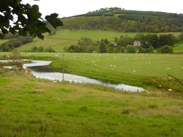
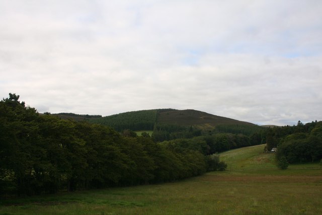
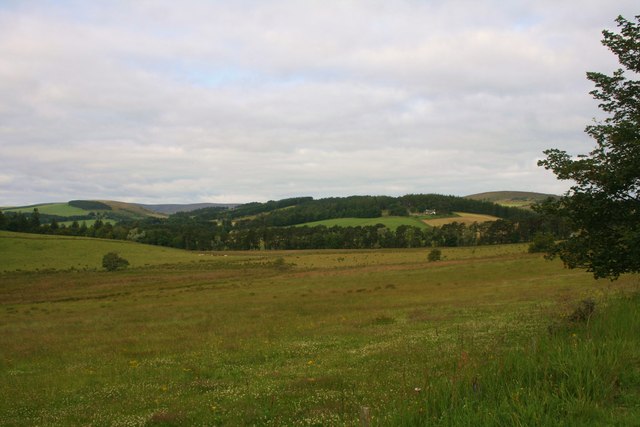
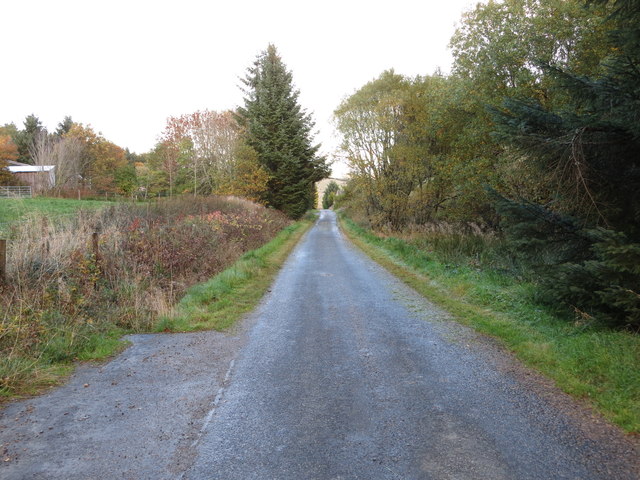
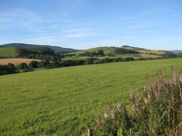
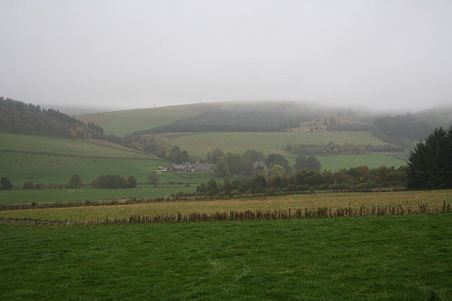
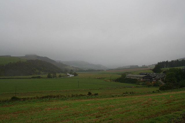
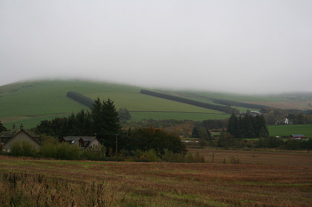
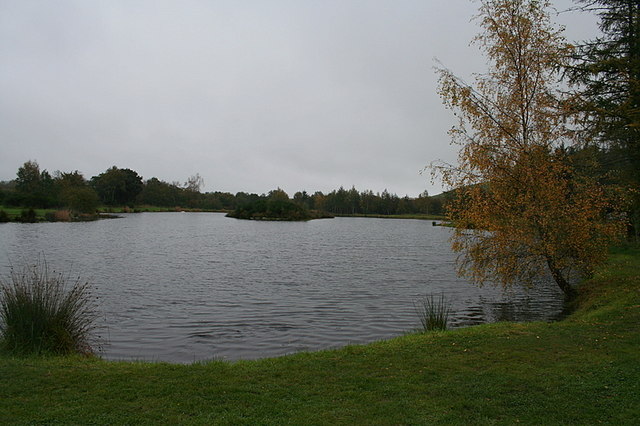
Cairnborrow is a picturesque village located in the heart of Aberdeenshire, Scotland. Situated amidst rolling hills and lush countryside, it offers a tranquil and idyllic setting for residents and visitors alike. The village is nestled along the banks of the River Don, adding to its scenic beauty.

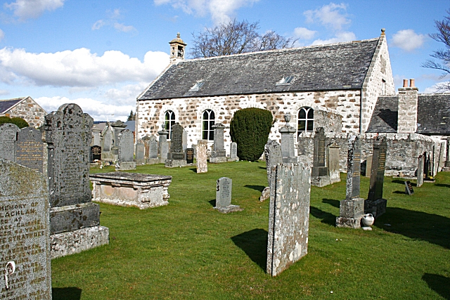
Cairnborrow is known for its rich history, with evidence of human settlement dating back thousands of years. The area is home to several ancient archaeological sites, including standing stones and stone circles, which provide a glimpse into the village's past.

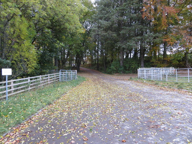
Despite its small size, Cairnborrow offers a range of amenities to cater to its residents. The village boasts a quaint village hall, where locals often gather for community events and social activities. There is also a primary school, providing education for the younger population.

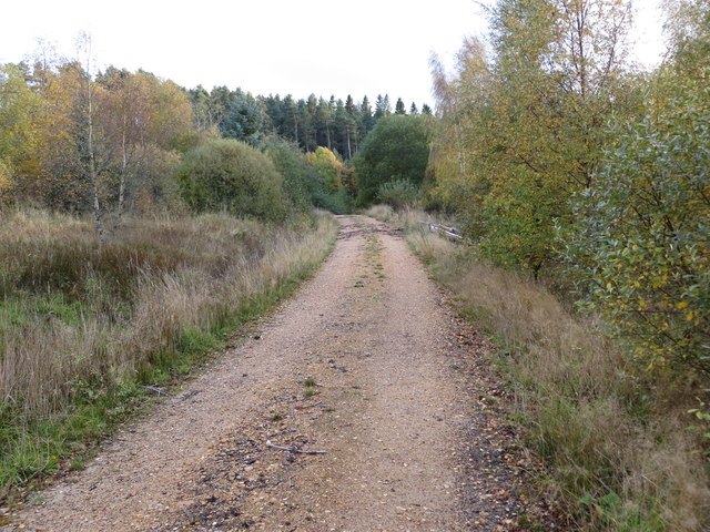
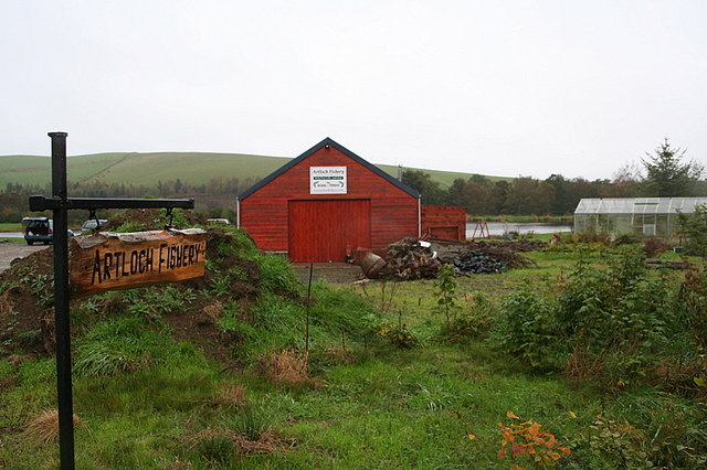
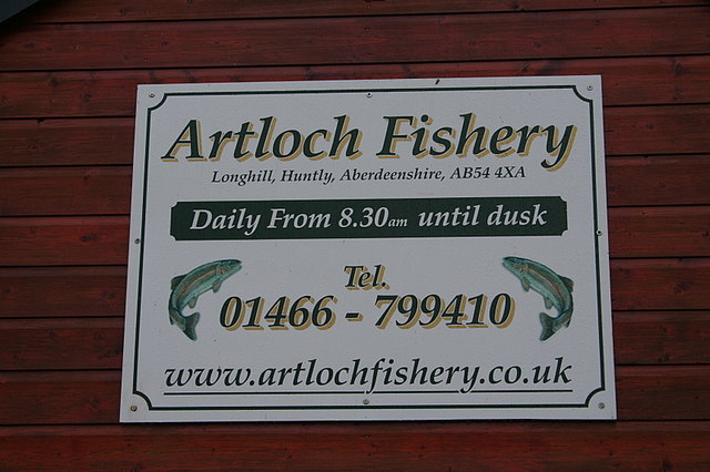
Outdoor enthusiasts will find plenty to enjoy in Cairnborrow. The surrounding countryside is ideal for hiking, cycling, and nature walks, with several well-maintained trails weaving through the area. Fishing is also a popular pastime, thanks to the nearby River Don, which is known for its abundance of salmon and trout.

For those seeking a taste of local culture, Cairnborrow is conveniently located near several historical landmarks and attractions. The nearby Cairnborrow Castle, a 16th-century tower house, is a popular destination for history enthusiasts. Additionally, the bustling city of Aberdeen is just a short drive away, offering a wide range of amenities, shopping centers, and cultural attractions.

In summary, Cairnborrow is a charming village in Aberdeenshire that showcases the beauty of the Scottish countryside while offering a rich history and a range of outdoor activities for residents and visitors to enjoy.

If you have any feedback on the listing, please let us know in the comments section below.
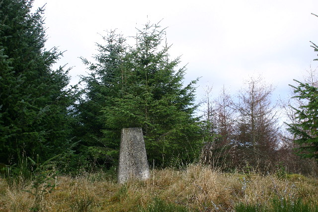
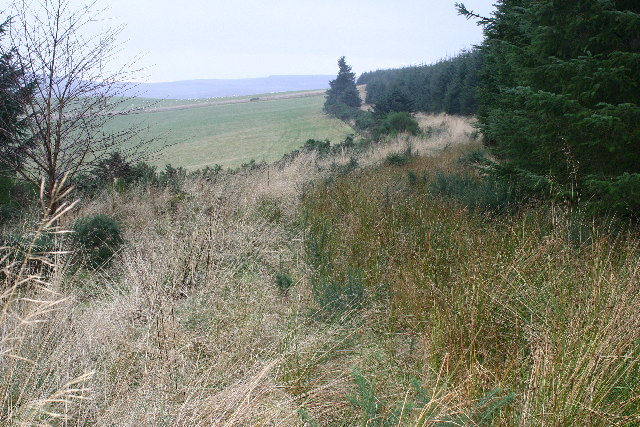
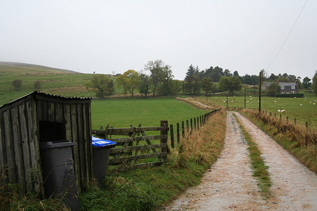
Cairnborrow Images

Images are sourced within 2km of 57.455298/-2.8994458 or Grid Reference NJ4640. Thanks to Geograph Open Source API. All images are credited.

Mains of Aswanley Mains in Scotland normally refers to the main buildings of a farm. This may include a farmhouse, farm buildings such as a byre and dairy, and workers' cottages.
The mains was usually the principal farm on an estate, or at least the one with the most fertile ground. The Laird's house - if there was one - may have been nearby or some distance away but is not usually part of the mains. The equivalent in England would be a home farm or perhaps a manor.
Mains of Aswanley
Mains in Scotland normally refers to the main buildings of a farm. This may include a farmhouse, farm buildings such as a byre and dairy, and workers' cottages. The mains was usually the principal farm on an estate, or at least the one with the most fertile ground. The Laird's house - if there was one - may have been nearby or some distance away but is not usually part of the mains. The equivalent in England would be a home farm or perhaps a manor.
Both Hill The wooded Both Hill by Belnaboth.
Both Hill
The wooded Both Hill by Belnaboth.
Pasture by Belnaboth Grassland by Belnaboth under Both Hill.
Pasture by Belnaboth
Grassland by Belnaboth under Both Hill.
Cattle Field by Cairnborrow Cattle grazing by Cairnbarrow Lodge.
Cattle Field by Cairnborrow
Cattle grazing by Cairnbarrow Lodge.
Forest track heading towards Torry Hillock and Brown Hill Looking southward.
Forest track heading towards Torry Hillock and Brown Hill
Looking southward.
Minor road approaching Cairnagat Steading Looking north-eastward.
Minor road approaching Cairnagat Steading
Looking north-eastward.
From A920 farmland
From A920 farmland
Track entrance from the A920 to what is likely to be Cairnborrow Wind Farm Looking north-westward from near to Mains of Cairnborrow.
Track entrance from the A920 to what is likely to be Cairnborrow Wind Farm
Looking north-westward from near to Mains of Cairnborrow.
Ordnance Survey Flush Bracket 11890 This bracket can be found on the wall of one of the buildings at Easter Boghead. The benchmark height is recorded as being 208.746 metres above sea level.
For more detail see : <span class="nowrap"><a title="https://www.bench-marks.org.uk/bm22649" rel="nofollow ugc noopener" href="https://www.bench-marks.org.uk/bm22649">Link</a><img style="margin-left:2px;" alt="External link" title="External link - shift click to open in new window" src="https://s1.geograph.org.uk/img/external.png" width="10" height="10"/></span>
Ordnance Survey Flush Bracket 11890
This bracket can be found on the wall of one of the buildings at Easter Boghead. The benchmark height is recorded as being 208.746 metres above sea level. For more detail see : LinkExternal link
Hill of Milleath trig
Forest track on Hill of Milleath Looking S from position
Forest track on Hill of Milleath
Looking S from position
Shower approaching the Mains of Aswanley.
The lane to Parkhall Farm.
The River Deveron flowing to the south of Cairnborrow Farm.
Milton of Cairnborrow on the left, Mains of Artloch to the right.
Artloch Trout Fishery. Situated on the southern banks of the River Deveron this fishery has richly deserved the glowing reputation which it enjoys.
Artloch Trout Fishery.
Situated on the southern banks of the River Deveron this fishery has richly deserved the glowing reputation which it enjoys.
The fishing hut at Artloch.
Artloch Fishings.
Artloch Fishings.
Show me another place!

Cairnborrow is located at Grid Ref: NJ4640 (Lat: 57.455298, Lng: -2.8994458)

Unitary Authority: Aberdeenshire

Police Authority: North East

What 3 Words

///legwork.wealth.pickle. Near Huntly, Aberdeenshire

Related Wikis

Torry Burn, Huntly

Torry Burn is a burn which marks the boundary of the parish of Huntly, Aberdeenshire, Scotland. == References ==

Blairmore School

Blairmore School was an independent boarding preparatory school in Glass near Huntly, Aberdeenshire until its closure in 1993. The site is now owned and...

Ardonald

Ardonald is a rural area near Cairnie in Aberdeenshire, Scotland. == References ==

Cairnie

Cairnie, also written Cairney, (Scottish Gaelic: CĂ rnaidh/A' ChĂ rnaich) is a village in Aberdeenshire, Scotland. It is in the district of Huntly. It has...

Nearby Amenities

Located within 500m of 57.455298,-2.8994458
Material: wood
Power: pole
Lat/Long: 57.4534443/-2.8924932
Material: wood
Power: pole
Lat/Long: 57.4534443/-2.8939024
Material: wood
Power: pole
Lat/Long: 57.4534346/-2.8952176
Material: wood
Power: pole
Lat/Long: 57.4534282/-2.8965388
Power: pole
Lat/Long: 57.4534185/-2.897906
Power: pole
Lat/Long: 57.4534152/-2.8992952
Material: wood
Power: pole
Lat/Long: 57.4534055/-2.9006644
Material: wood
Power: pole
Lat/Long: 57.4536619/-2.9016113
Material: wood
Power: pole
Lat/Long: 57.4539117/-2.902504
Material: wood
Power: pole
Lat/Long: 57.4540345/-2.9029705
Power: pole
Lat/Long: 57.4543349/-2.9040774
Power: pole
Lat/Long: 57.4546365/-2.9051764
Power: pole
Lat/Long: 57.454924/-2.9062734
Power: pole
Lat/Long: 57.4552083/-2.9073163
Mains of Cairnborrow
Place: hamlet
Lat/Long: 57.4547979/-2.9005411
Backtack
Place: locality
Lat/Long: 57.4573604/-2.8931382
The data included in this document is from www.openstreetmap.org. The data is made available under ODbL.

Have you been to Cairnborrow?

Leave your review of Cairnborrow below (or comments, questions and feedback).