Terryoron Pot

Lake, Pool, Pond, Freshwater Marsh in Aberdeenshire

Scotland

Terryoron Pot

Cattle Field by Cairnborrow Cattle grazing by Cairnbarrow Lodge.
Cattle Field by Cairnborrow Credit: Andrew Wood

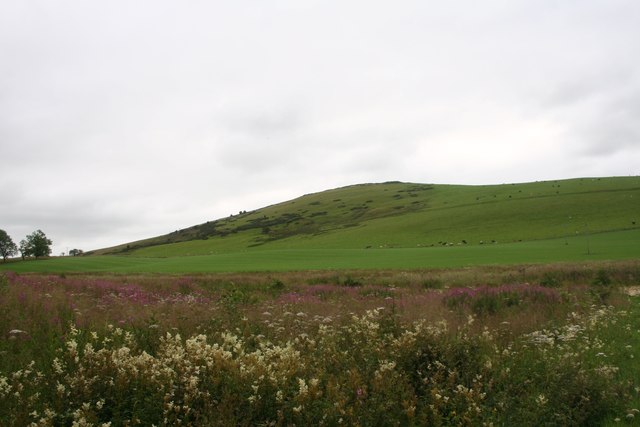
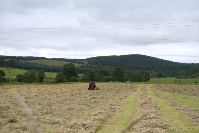
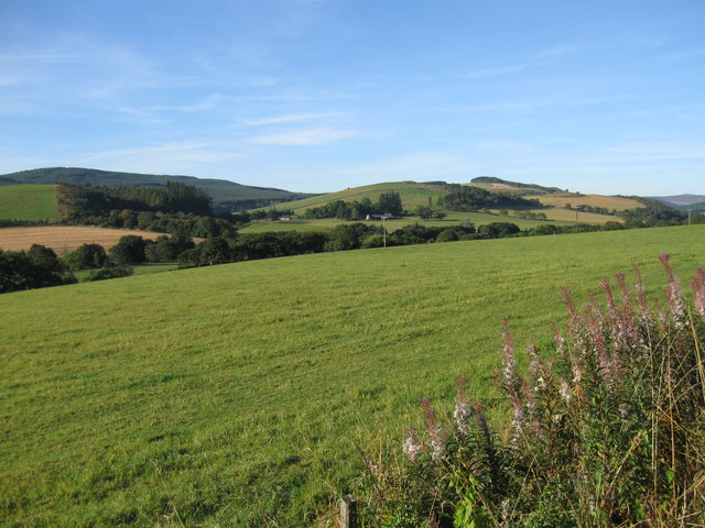
Located in Aberdeenshire, Scotland, Terryoron Pot is a picturesque freshwater marsh that encompasses a lake, pool, pond, and marshland. This natural habitat offers a diverse range of flora and fauna, making it a popular destination for nature enthusiasts.

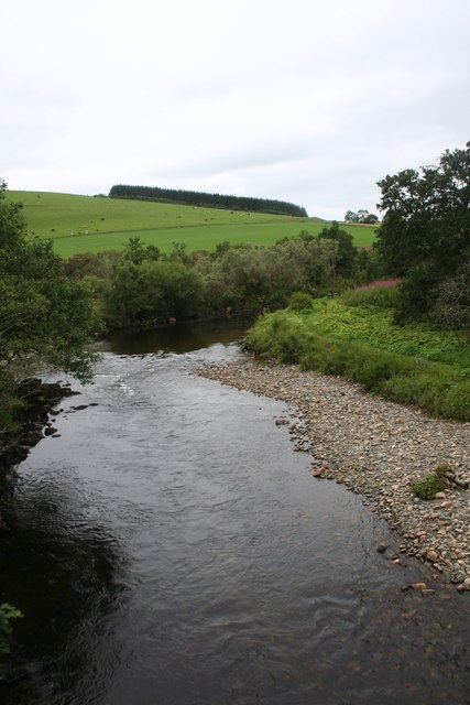
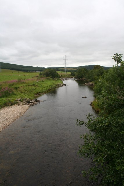
The lake at Terryoron Pot provides a serene setting with its calm, reflective waters. It spans a considerable area, allowing for various recreational activities such as fishing and boating. The lake is home to several species of fish, including trout and perch, attracting anglers from far and wide.

Adjacent to the lake is a pool, which serves as a smaller and more secluded body of water. This pool is often frequented by birds and other wildlife, making it an ideal spot for birdwatching or simply enjoying the tranquility of nature.

The pond at Terryoron Pot is smaller in size but equally charming. It is teeming with aquatic plants and serves as a habitat for amphibians such as frogs and newts. The pond's shallow waters provide an opportunity for wildlife enthusiasts to observe these fascinating creatures up close.

Surrounding the various bodies of water is a lush freshwater marsh. This marshland is a haven for a wide array of plant species, including reeds, rushes, and water lilies. The marsh acts as a natural filtration system, purifying the water and creating a nurturing environment for numerous aquatic organisms.

Overall, Terryoron Pot in Aberdeenshire offers a diverse and captivating natural landscape. With its lake, pool, pond, and freshwater marsh, it provides a sanctuary for wildlife and a peaceful retreat for visitors seeking solace in nature.

If you have any feedback on the listing, please let us know in the comments section below.

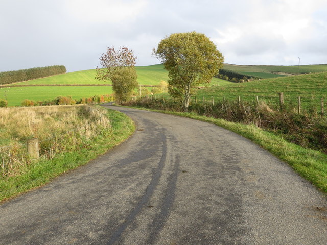
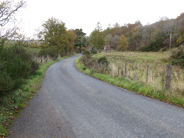
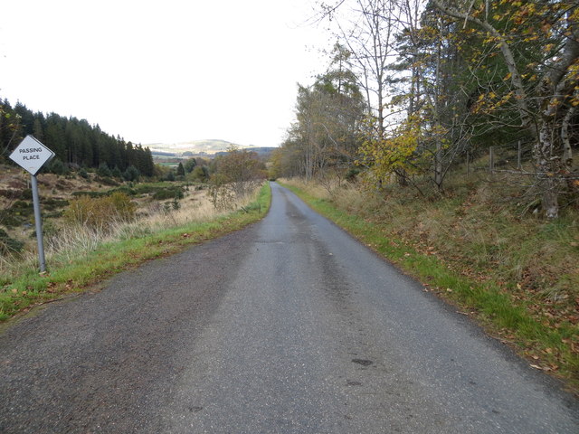
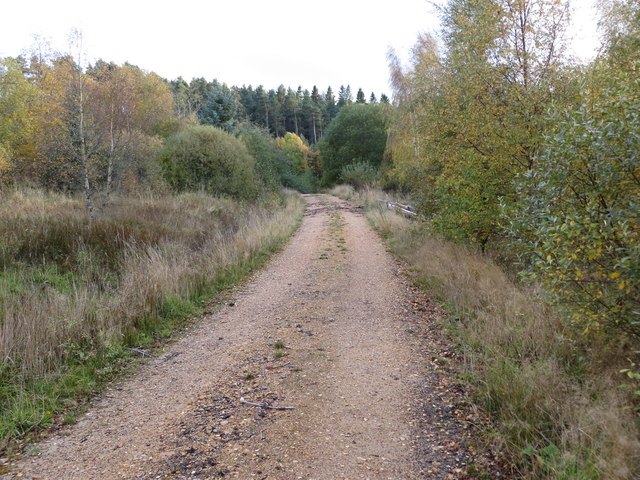
Terryoron Pot Images

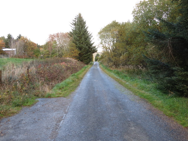
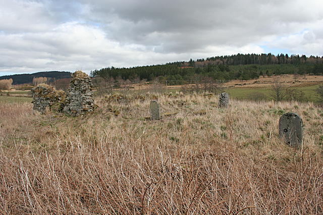
Images are sourced within 2km of 57.451157/-2.885413 or Grid Reference NJ4640. Thanks to Geograph Open Source API. All images are credited.

Cattle Field by Cairnborrow Cattle grazing by Cairnbarrow Lodge.
Cattle Field by Cairnborrow
Cattle grazing by Cairnbarrow Lodge.
Weeds and Clashmach Wild wetland with Clashmach Hill behind from Rob's Nook.
Weeds and Clashmach
Wild wetland with Clashmach Hill behind from Rob's Nook.
River Deveron The Deveron by Cairnford Bridge.
River Deveron
The Deveron by Cairnford Bridge.
Deveron Downstream The Deveron flowing away from Cairnford Bridge.
Deveron Downstream
The Deveron flowing away from Cairnford Bridge.
Hay Field Hay turning in a Deveronside field.
Hay Field
Hay turning in a Deveronside field.
Lane leading to Wellheads Looking eastward.
Lane leading to Wellheads
Looking eastward.
Minor road approaching Tigh Fada Looking north-eastward.
Minor road approaching Tigh Fada
Looking north-eastward.
Minor road between Lower Gordonsburn and Tigh Fada Looking north-eastward.
Minor road between Lower Gordonsburn and Tigh Fada
Looking north-eastward.
Forest track heading towards Torry Hillock and Brown Hill Looking southward.
Forest track heading towards Torry Hillock and Brown Hill
Looking southward.
Minor road approaching Cairnagat Steading Looking north-eastward.
Minor road approaching Cairnagat Steading
Looking north-eastward.
Ordnance Survey Cut Mark This mark can be found on the wall of a roadside building at Tigh Fada. The benchmark height is recorded as being 176.772 metres above sea level.
For more detail see : <span class="nowrap"><a title="https://www.bench-marks.org.uk/bm101700" rel="nofollow ugc noopener" href="https://www.bench-marks.org.uk/bm101700">Link</a><img style="margin-left:2px;" alt="External link" title="External link - shift click to open in new window" src="https://s1.geograph.org.uk/img/external.png" width="10" height="10"/></span>
Ordnance Survey Cut Mark
This mark can be found on the wall of a roadside building at Tigh Fada. The benchmark height is recorded as being 176.772 metres above sea level. For more detail see : LinkExternal link
From A920 farmland
From A920 farmland
Boulders from the Fields There's an uncultivated hollow here, which has been used as a handy spot for dumping boulders cleared from the surrounding fields. At the far side of the field are the ruins of St Peter's Church.
Boulders from the Fields
There's an uncultivated hollow here, which has been used as a handy spot for dumping boulders cleared from the surrounding fields. At the far side of the field are the ruins of St Peter's Church.
St Peter's Kirk and Kirkyard This ruin was the parish kirk of the parish of Drumdelgie, which was suppressed in 1615 and united with Cairnie. See <span class="nowrap"><a title="https://canmore.org.uk/site/17322/drumdelgie-parish-church" rel="nofollow ugc noopener" href="https://canmore.org.uk/site/17322/drumdelgie-parish-church">Link</a><img style="margin-left:2px;" alt="External link" title="External link - shift click to open in new window" src="https://s1.geograph.org.uk/img/external.png" width="10" height="10"/></span> for more details.
St Peter's Kirk and Kirkyard
This ruin was the parish kirk of the parish of Drumdelgie, which was suppressed in 1615 and united with Cairnie. See LinkExternal link for more details.
Drumdelgie Parish Kirk The parish of Drumdelgie was suppressed in 1615 and joined with Cairnie. The kirk was still usable in 1640 but soon fell into disrepair. This, the west gable, is the most substantial surviving masonry.  See <span class="nowrap"><a title="https://canmore.org.uk/site/17322/drumdelgie-parish-church" rel="nofollow ugc noopener" href="https://canmore.org.uk/site/17322/drumdelgie-parish-church">Link</a><img style="margin-left:2px;" alt="External link" title="External link - shift click to open in new window" src="https://s1.geograph.org.uk/img/external.png" width="10" height="10"/></span> for more details.
Drumdelgie Parish Kirk
The parish of Drumdelgie was suppressed in 1615 and joined with Cairnie. The kirk was still usable in 1640 but soon fell into disrepair. This, the west gable, is the most substantial surviving masonry. See LinkExternal link for more details.
Interior of St Peter's Kirk These days it is occupied only by vegetation, including a fine collection of snowdrops. See <span class="nowrap"><a title="https://canmore.org.uk/site/17322/drumdelgie-parish-church" rel="nofollow ugc noopener" href="https://canmore.org.uk/site/17322/drumdelgie-parish-church">Link</a><img style="margin-left:2px;" alt="External link" title="External link - shift click to open in new window" src="https://s1.geograph.org.uk/img/external.png" width="10" height="10"/></span> for more details.
Interior of St Peter's Kirk
These days it is occupied only by vegetation, including a fine collection of snowdrops. See LinkExternal link for more details.
Inside Drumdelgie Parish Kirk Looking towards the inside of the west gable. There are a couple of flat-lying gravestones among the snowdrops and long grass.  See <span class="nowrap"><a title="https://canmore.org.uk/site/17322/drumdelgie-parish-church" rel="nofollow ugc noopener" href="https://canmore.org.uk/site/17322/drumdelgie-parish-church">Link</a><img style="margin-left:2px;" alt="External link" title="External link - shift click to open in new window" src="https://s1.geograph.org.uk/img/external.png" width="10" height="10"/></span> for more details.
Inside Drumdelgie Parish Kirk
Looking towards the inside of the west gable. There are a couple of flat-lying gravestones among the snowdrops and long grass. See LinkExternal link for more details.
Drumdelgie Parish Kirkyard Although the kirk was abandoned in the 17th century, there are 19th century gravestones. The only legible one was erected in 1881.  See <span class="nowrap"><a title="https://canmore.org.uk/site/17322/drumdelgie-parish-church" rel="nofollow ugc noopener" href="https://canmore.org.uk/site/17322/drumdelgie-parish-church">Link</a><img style="margin-left:2px;" alt="External link" title="External link - shift click to open in new window" src="https://s1.geograph.org.uk/img/external.png" width="10" height="10"/></span> for more details.
Drumdelgie Parish Kirkyard
Although the kirk was abandoned in the 17th century, there are 19th century gravestones. The only legible one was erected in 1881. See LinkExternal link for more details.
Show me another place!

Terryoron Pot is located at Grid Ref: NJ4640 (Lat: 57.451157, Lng: -2.885413)

Unitary Authority: Aberdeenshire

Police Authority: North East

What 3 Words

///hotel.flaunting.rebounder. Near Huntly, Aberdeenshire

Related Wikis

Torry Burn, Huntly

Torry Burn is a burn which marks the boundary of the parish of Huntly, Aberdeenshire, Scotland. == References ==

Blairmore School

Blairmore School was an independent boarding preparatory school in Glass near Huntly, Aberdeenshire until its closure in 1993. The site is now owned and...

Dunbennan

Dunbennan is a settlement near Huntly, Aberdeenshire, Scotland. The name comes from the Gaelic dun-beinnean, or the fort of the little hill, and originally...

Ardonald

Ardonald is a rural area near Cairnie in Aberdeenshire, Scotland. == References ==

Nearby Amenities

Located within 500m of 57.451157,-2.885413
Material: wood
Power: pole
Lat/Long: 57.4531406/-2.8790032
Material: wood
Power: pole
Lat/Long: 57.4532526/-2.8802543
Material: wood
Power: pole
Lat/Long: 57.4533646/-2.8815035
Material: wood
Power: pole
Lat/Long: 57.4534863/-2.8828106
Material: wood
Power: pole
Lat/Long: 57.4534777/-2.8839176
Material: wood
Power: pole
Lat/Long: 57.4534702/-2.8850526
Material: wood
Power: pole
Lat/Long: 57.4534648/-2.8862076
Power: pole
Lat/Long: 57.4534669/-2.8873907
Material: wood
Power: pole
Lat/Long: 57.4534594/-2.8885737
Material: wood
Power: pole
Lat/Long: 57.4534562/-2.8899289
Material: wood
Power: pole
Lat/Long: 57.4534443/-2.891118
Material: wood
Power: pole
Lat/Long: 57.4534443/-2.8924932
Power: pole
Lat/Long: 57.4540032/-2.8825744
Power: pole
Lat/Long: 57.4545514/-2.8823842
Power: pole
Lat/Long: 57.4480895/-2.8883755
Power: pole
Lat/Long: 57.4484934/-2.8882314
Power: pole
Lat/Long: 57.4490082/-2.8880072
Power: pole
Lat/Long: 57.4498203/-2.8881193
Power: pole
Lat/Long: 57.4504514/-2.8882034
Power: pole
Lat/Long: 57.4511299/-2.8882915
Power: pole
Lat/Long: 57.4518623/-2.8883715
Power: pole
Lat/Long: 57.4526108/-2.8884776
Terryhorn
Place: isolated_dwelling
Lat/Long: 57.4491296/-2.8888038
Newbigging
Place: isolated_dwelling
Lat/Long: 57.4480905/-2.8897264
The data included in this document is from www.openstreetmap.org. The data is made available under ODbL.

Have you been to Terryoron Pot?

Leave your review of Terryoron Pot below (or comments, questions and feedback).