Monk's Pool
Lake, Pool, Pond, Freshwater Marsh in Angus
Scotland
Monk's Pool
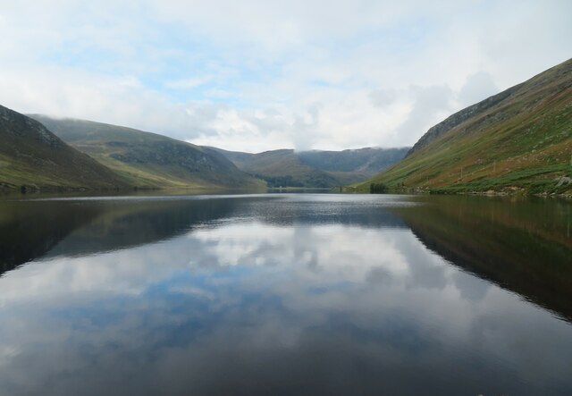
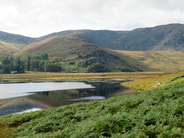
Monk's Pool, located in Angus, Scotland, is a picturesque freshwater marsh that serves as a popular recreational spot for locals and tourists alike. With its serene ambiance and diverse wildlife, the pool offers a tranquil escape from the hustle and bustle of everyday life.
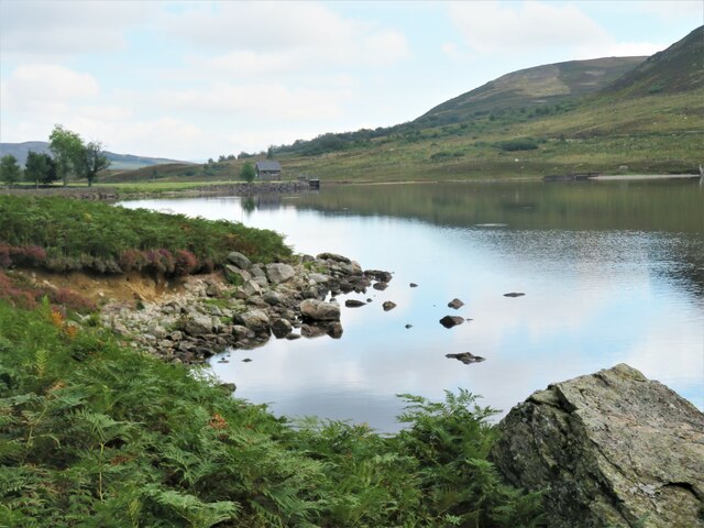
Covering an area of approximately 10 acres, Monk's Pool is nestled amidst lush greenery and rolling hills, providing a stunning backdrop for nature enthusiasts and photographers. The pool itself is a shallow body of water, fed by natural springs and rainwater runoff, with an average depth of around 3 feet.
The pool is teeming with a rich variety of plant and animal species, making it a haven for wildlife enthusiasts and birdwatchers. The surrounding marshland provides a suitable habitat for numerous waterfowl species, including geese, swans, ducks, and herons. Additionally, the pool is home to a diverse range of aquatic plants, such as reeds, water lilies, and rushes, which thrive in its nutrient-rich waters.
Visitors to Monk's Pool can enjoy a range of activities, including fishing, birdwatching, and nature walks. The pool is well-stocked with fish, such as trout and perch, making it a popular destination for anglers. Furthermore, the tranquil nature trails that surround the pool offer an opportunity to explore the area's natural beauty up close.
Monk's Pool is a cherished natural gem in the Angus region, attracting visitors who seek solace in its serene surroundings and appreciate the diverse ecosystem it supports.
If you have any feedback on the listing, please let us know in the comments section below.
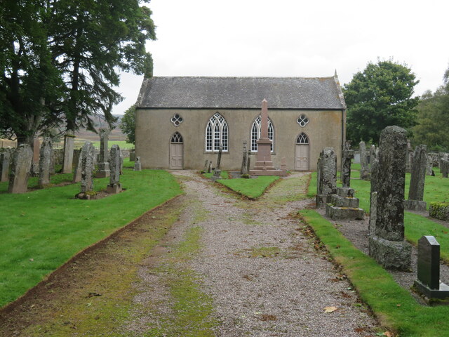
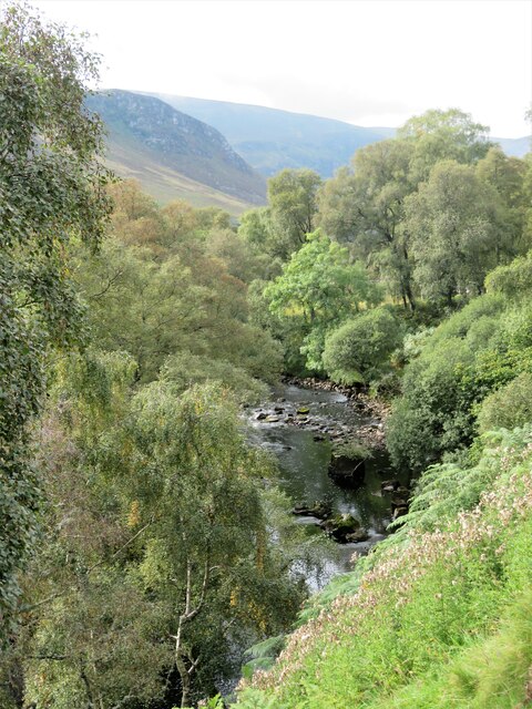
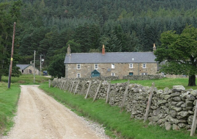
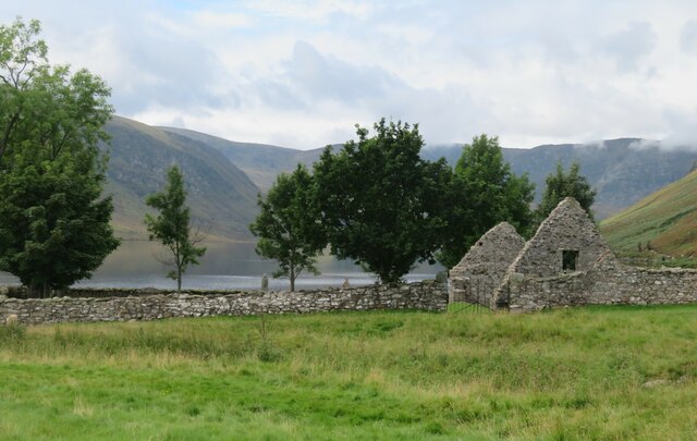
Monk's Pool Images
Images are sourced within 2km of 56.908527/-2.9306752 or Grid Reference NO4380. Thanks to Geograph Open Source API. All images are credited.
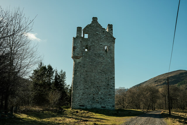
![Invermark Castle According to local estate information, the castle dates from 1526 and was built to help deter, or provide protection from caterans [Highland raiders], who were in the habit of coming over the mountains from Deeside and stealing cattle and anything else they could get their hands on. The only door is high on the south side [left, and out of sight in this view], whilst there are gun loops at the base of the tower in the 5ft thick walls.](https://s1.geograph.org.uk/geophotos/06/97/73/6977353_97c39e1b.jpg)

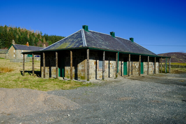
![Invermark shooting lodge [and Dobbin] A Victorian shooting lodge for those interested in grouse shooting, deer stalking or fishing. Apparently the building is available for rent, but then if you can afford the grouse shooting you can almost certainly afford the rental fee.](https://s0.geograph.org.uk/geophotos/06/97/73/6977376_6befec32.jpg)


Monk's Pool is located at Grid Ref: NO4380 (Lat: 56.908527, Lng: -2.9306752)
Unitary Authority: Angus
Police Authority: Tayside
What 3 Words
///footpath.texts.shuttle. Near Ballater, Aberdeenshire
Nearby Locations
Related Wikis

Invermark Lodge
Invermark Lodge is a hunting lodge which was built near Invermark Castle in 1852 for John Ramsay, 13th Earl of Dalhousie. It is now a listed building...

Invermark Castle
Invermark Castle is an oblong tower house dating from the 16th century, at the east of Loch Lee, Angus, Scotland. It is near the head of Glen Esk. ��2...

Loch Lee
National grid reference NO431800 Loch Lee is a loch in Angus, Scotland south of the Grampian Mountains that is fed by the Water of Lee and the Water of...

Glen Mark
Glen Mark is a glen in northern Angus, eastern Scotland, through which the Water of Mark flows. Near the mouth of the glen, at Auchronie, the Water of...

Falls of Unich
Falls of Unich is a waterfall of Scotland. == See also == Waterfalls of Scotland == References == Media related to Falls of Unich at Wikimedia Commons

Falls of Damff
Falls of Damff is a waterfall in Cairngorms National Park in Scotland. == See also == Waterfalls of Scotland == References ==

Tarfside
Tarfside is a small hamlet in Angus, Scotland. It is situated in Glen Esk, on the upper course of the River North Esk, around 8 miles north of Edzell,...

Mount Keen
Mount Keen (Scottish Gaelic: Monadh Caoin) is a 939-metre-high (3,081 ft) mountain in Scotland and the most easterly Munro. It can be accessed from several...
Nearby Amenities
Located within 500m of 56.908527,-2.9306752Have you been to Monk's Pool?
Leave your review of Monk's Pool below (or comments, questions and feedback).