Drum Plantation
Wood, Forest in Angus
Scotland
Drum Plantation
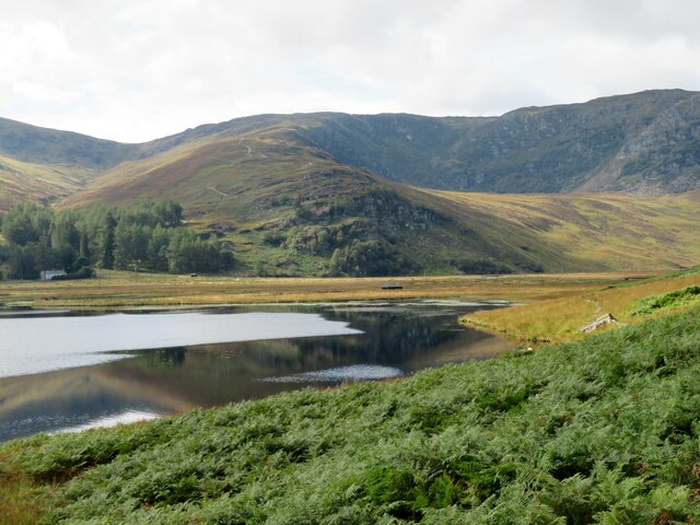
Drum Plantation, located in Angus, Scotland, is a significant woodland area known for its rich history and diverse range of tree species. Spanning over acres of land, this plantation is renowned for its well-preserved ancient woodland and is a popular destination for nature enthusiasts and researchers alike.
The woodland at Drum Plantation boasts a variety of tree species, including oak, birch, beech, and Scots pine. These trees provide habitats for a wide array of wildlife, including birds, mammals, and insects, making it an important ecological site in the region. The plantation is also home to several rare and protected species, such as red squirrels and capercaillies, further enhancing its conservation value.
The ancient woodland within Drum Plantation adds to its historical significance. Some parts of the woodland date back centuries, offering a glimpse into the area's past. The plantation has been carefully managed over the years to preserve its natural beauty and protect its cultural heritage.
Visitors to Drum Plantation can enjoy a range of activities, including hiking, birdwatching, and nature photography. The woodland is crisscrossed by well-maintained trails, allowing visitors to explore its diverse ecosystems and appreciate its natural wonders.
Overall, Drum Plantation in Angus is a captivating woodland destination, offering a blend of natural beauty, historical significance, and biodiversity. Its conservation efforts and recreational offerings make it a valuable asset to the region and a must-visit location for nature lovers.
If you have any feedback on the listing, please let us know in the comments section below.
Drum Plantation Images
Images are sourced within 2km of 56.912941/-2.9363362 or Grid Reference NO4380. Thanks to Geograph Open Source API. All images are credited.
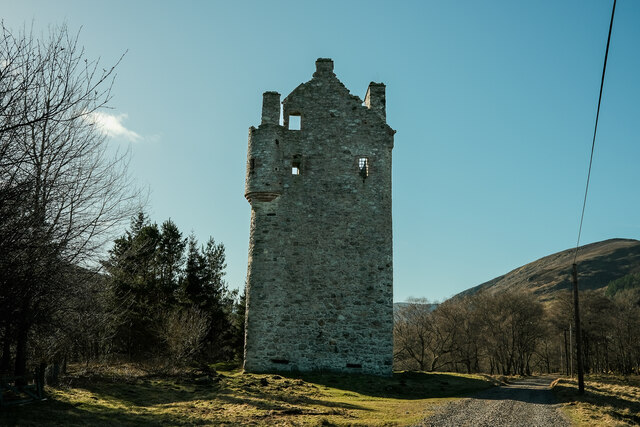
![Invermark Castle According to local estate information, the castle dates from 1526 and was built to help deter, or provide protection from caterans [Highland raiders], who were in the habit of coming over the mountains from Deeside and stealing cattle and anything else they could get their hands on. The only door is high on the south side [left, and out of sight in this view], whilst there are gun loops at the base of the tower in the 5ft thick walls.](https://s1.geograph.org.uk/geophotos/06/97/73/6977353_97c39e1b.jpg)

![Invermark shooting lodge [and Dobbin] A Victorian shooting lodge for those interested in grouse shooting, deer stalking or fishing. Apparently the building is available for rent, but then if you can afford the grouse shooting you can almost certainly afford the rental fee.](https://s0.geograph.org.uk/geophotos/06/97/73/6977376_6befec32.jpg)


Drum Plantation is located at Grid Ref: NO4380 (Lat: 56.912941, Lng: -2.9363362)
Unitary Authority: Angus
Police Authority: Tayside
What 3 Words
///heavy.seemingly.headed. Near Ballater, Aberdeenshire
Nearby Locations
Related Wikis

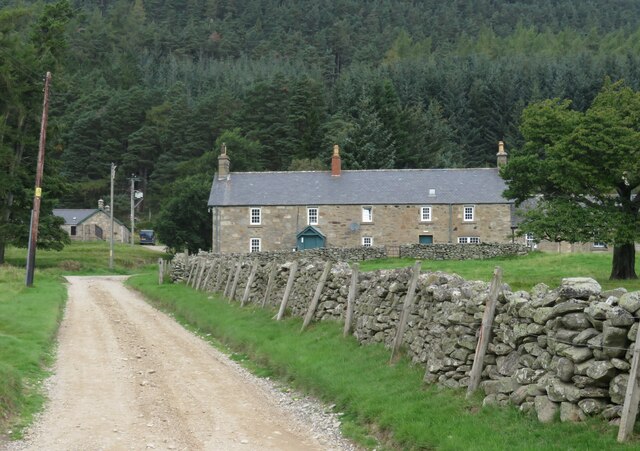
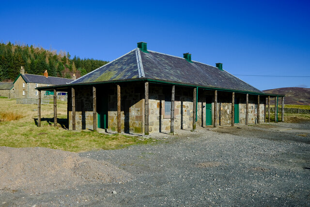
Invermark Lodge
Invermark Lodge is a hunting lodge which was built near Invermark Castle in 1852 for John Ramsay, 13th Earl of Dalhousie. It is now a listed building...

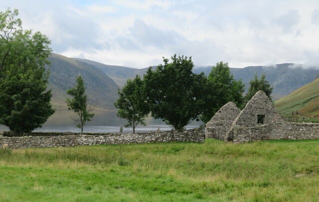
Invermark Castle
Invermark Castle is an oblong tower house dating from the 16th century, at the east of Loch Lee, Angus, Scotland. It is near the head of Glen Esk. ��2...

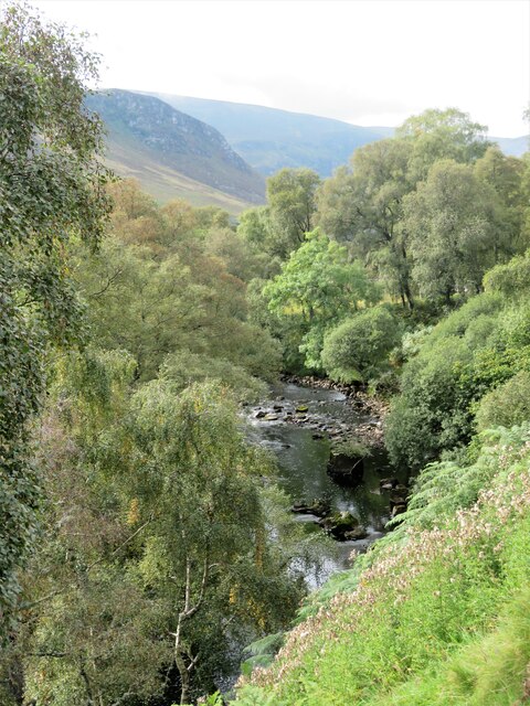
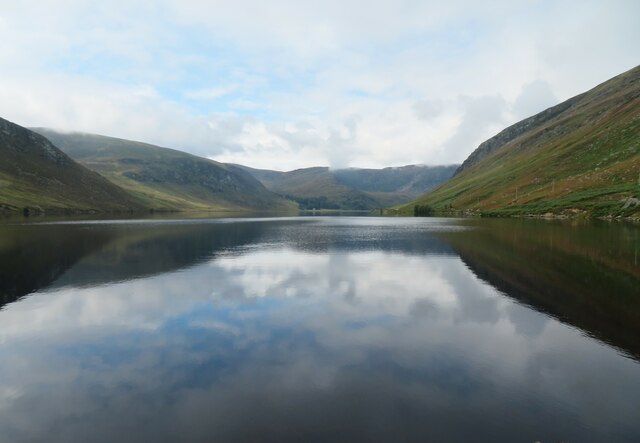
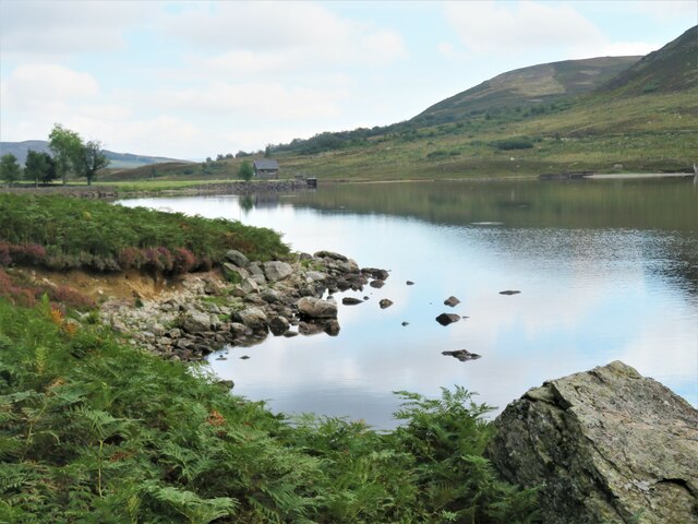
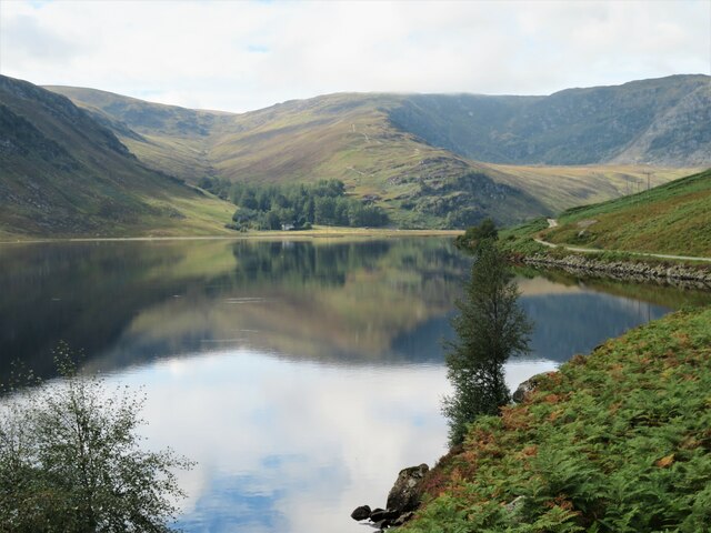
Loch Lee
National grid reference NO431800 Loch Lee is a loch in Angus, Scotland south of the Grampian Mountains that is fed by the Water of Lee and the Water of...

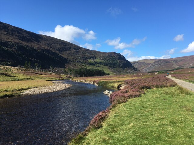
Glen Mark
Glen Mark is a glen in northern Angus, eastern Scotland, through which the Water of Mark flows. Near the mouth of the glen, at Auchronie, the Water of...

Falls of Unich
Falls of Unich is a waterfall of Scotland. == See also == Waterfalls of Scotland == References == Media related to Falls of Unich at Wikimedia Commons

Falls of Damff
Falls of Damff is a waterfall in Cairngorms National Park in Scotland. == See also == Waterfalls of Scotland == References ==

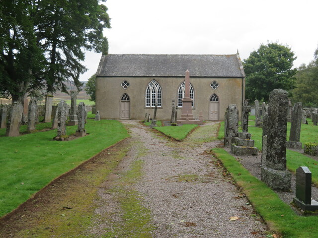
Tarfside
Tarfside is a small hamlet in Angus, Scotland. It is situated in Glen Esk, on the upper course of the River North Esk, around 8 miles north of Edzell,...

Mount Keen
Mount Keen (Scottish Gaelic: Monadh Caoin) is a 939-metre-high (3,081 ft) mountain in Scotland and the most easterly Munro. It can be accessed from several...
Nearby Amenities
Located within 500m of 56.912941,-2.9363362Have you been to Drum Plantation?
Leave your review of Drum Plantation below (or comments, questions and feedback).