Branxholme Easter Loch

Lake, Pool, Pond, Freshwater Marsh in Roxburghshire

Scotland

Branxholme Easter Loch

Branxholmtown Beeches beside a narrow, gated road.
Branxholmtown Credit: Richard Webb

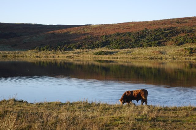
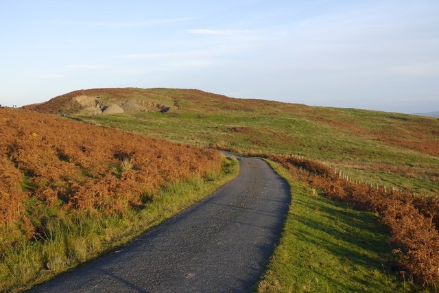
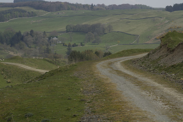
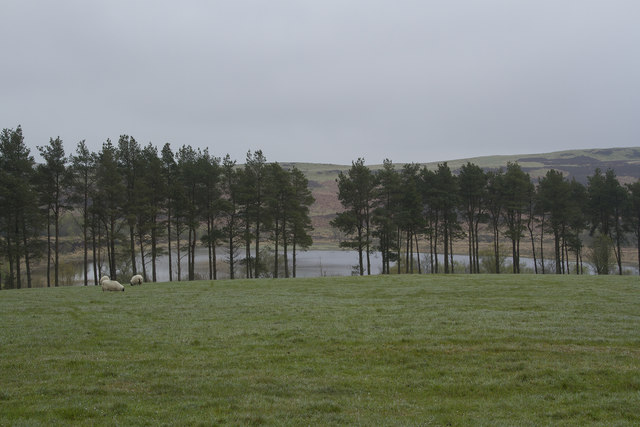
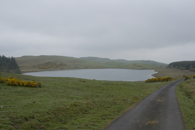
Branxholme Easter Loch is a tranquil freshwater lake located in the scenic countryside of Roxburghshire, Scotland. This picturesque loch stretches over an area of approximately 10 acres, making it a popular destination for nature enthusiasts and anglers alike.

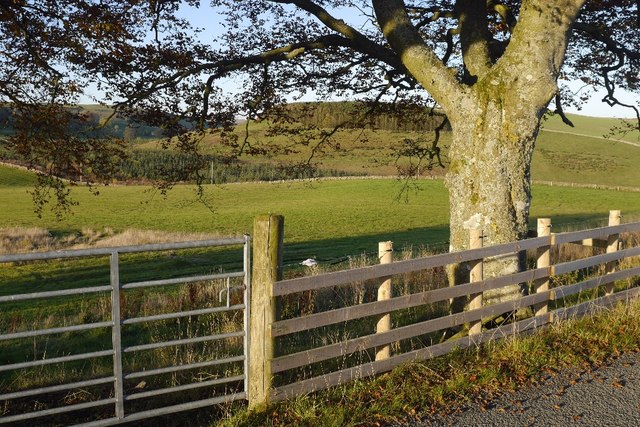
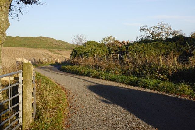
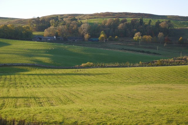
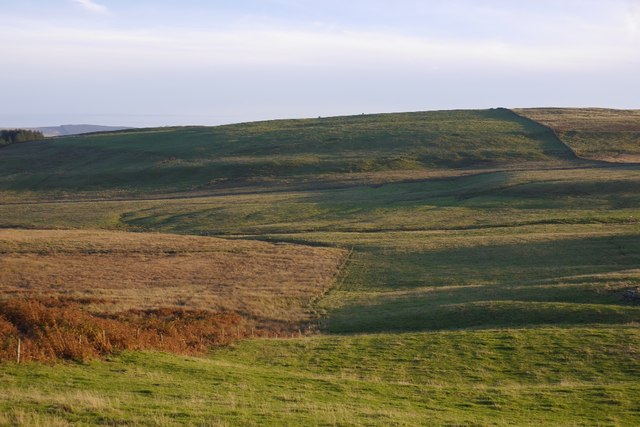
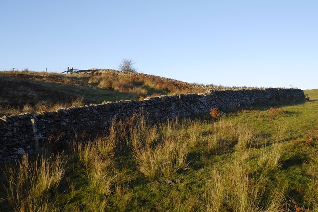
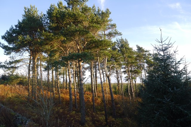
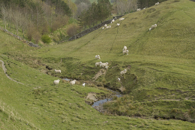
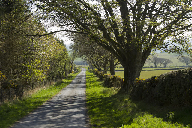
Surrounded by rolling hills and lush greenery, the loch offers a serene and idyllic setting for visitors to immerse themselves in the beauty of the Scottish landscape. The calm waters of the lake provide a perfect habitat for a variety of aquatic species, including various fish species such as brown trout and perch.

With its diverse ecosystem, the loch also hosts a wide range of birdlife, making it a haven for birdwatchers. Visitors can spot a variety of waterfowl, including mallards, tufted ducks, and great crested grebes, among others. The surrounding marshland and reed beds provide nesting grounds and feeding areas for these avian inhabitants.

For those seeking outdoor recreational activities, Branxholme Easter Loch offers fishing opportunities. Anglers can cast their lines in the hopes of catching a prized trout or perch, making for a rewarding and relaxing day by the water's edge.

Overall, Branxholme Easter Loch presents a stunning natural landscape that combines the tranquility of a freshwater lake with the vibrancy of the surrounding wildlife. Its peaceful ambiance and diverse ecosystem make it a must-visit destination for nature enthusiasts and those seeking a retreat from the hustle and bustle of everyday life.

If you have any feedback on the listing, please let us know in the comments section below.

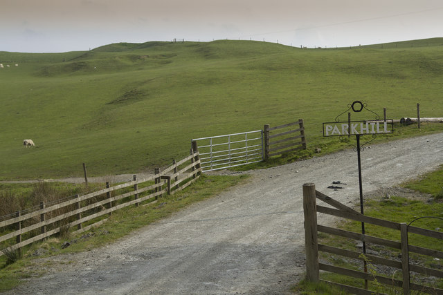
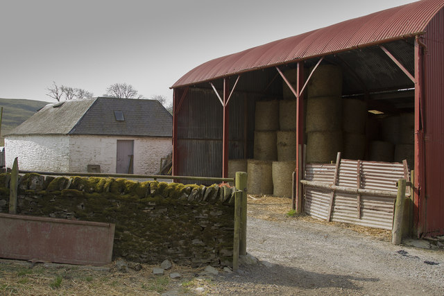
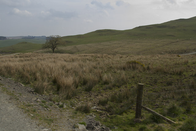
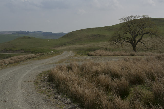
Branxholme Easter Loch Images

Images are sourced within 2km of 55.396967/-2.8949866 or Grid Reference NT4311. Thanks to Geograph Open Source API. All images are credited.

Branxholmtown Beeches beside a narrow, gated road.
Branxholmtown
Beeches beside a narrow, gated road.
Road, Branxholmtown
Road, Branxholmtown
Grassland, Branxholmtown Improved grazing with a view towards Chapelhill.
Grassland, Branxholmtown
Improved grazing with a view towards Chapelhill.
Branxholme Easter Loch A bull beside the water. The rest of the herd were nearby on rough grazing.
Branxholme Easter Loch
A bull beside the water. The rest of the herd were nearby on rough grazing.
Cold Fell A narrow gated road on the moor at Branxholme.
Cold Fell
A narrow gated road on the moor at Branxholme.
Fields, Branxholme Improved grazing and moorland above Teviotdale.
Fields, Branxholme
Improved grazing and moorland above Teviotdale.
Dykes, Chapel Hill Hill farming upstream of Hawick.
Dykes, Chapel Hill
Hill farming upstream of Hawick.
Branxholme Wester Loch Plantation A clump of mature trees surrounded by younger stock.
Branxholme Wester Loch Plantation
A clump of mature trees surrounded by younger stock.
Chisholme hamlet This large house has several yourts in its grounds. It seems to be a place where you can live for a while to find yourself. There are a few other smaller houses in the hamlet.
Chisholme hamlet
This large house has several yourts in its grounds. It seems to be a place where you can live for a while to find yourself. There are a few other smaller houses in the hamlet.
The entrance to Parkhill Farm Parkhill Farm seems to be mainly pastoral, with a large number of sheep and some cattle. The cattle were all close to the farm buildings, whereas the sheep were scattered over several fields on the hillside.
The entrance to Parkhill Farm
Parkhill Farm seems to be mainly pastoral, with a large number of sheep and some cattle. The cattle were all close to the farm buildings, whereas the sheep were scattered over several fields on the hillside.
Parkhill Farm buildings The barn, half full of bales, with other buildings in the background.
Parkhill Farm buildings
The barn, half full of bales, with other buildings in the background.
Moorland and fields of Parkhill farm It is not clear where the land for Parkhill ends but I think this grassland and moorland is part of that far,
Moorland and fields of Parkhill farm
It is not clear where the land for Parkhill ends but I think this grassland and moorland is part of that far,
The track forks The track is part of the Reivers Way and if you go straight ahead you will get to Roberton.
The track forks
The track is part of the Reivers Way and if you go straight ahead you will get to Roberton.
The Reivers Path This path is well maintained. It has a stone surface and is good for walking and is also used by cyclists.
The Reivers Path
This path is well maintained. It has a stone surface and is good for walking and is also used by cyclists.
Sheep crossing a stream As soon as we appeared the sheep started to walk and run across the stream.
Sheep crossing a stream
As soon as we appeared the sheep started to walk and run across the stream.
Branxholme Wester Loch This is a small loch with a narrow belt of pine woodland between it and the minor road from which the photo was taken.
Branxholme Wester Loch
This is a small loch with a narrow belt of pine woodland between it and the minor road from which the photo was taken.
Branxholme Easter Loch A small loch with fish as there are notices saying private fishing as well as a small boat house presumably so people can fish from the boats. The loch is just next to a minor gated road to Hawick.
Branxholme Easter Loch
A small loch with fish as there are notices saying private fishing as well as a small boat house presumably so people can fish from the boats. The loch is just next to a minor gated road to Hawick.
A straight road for a change The sun has come out properly and it brightens this image of a straight stretch of a minor road.
A straight road for a change
The sun has come out properly and it brightens this image of a straight stretch of a minor road.
Show me another place!

Branxholme Easter Loch is located at Grid Ref: NT4311 (Lat: 55.396967, Lng: -2.8949866)

Unitary Authority: The Scottish Borders

Police Authority: The Lothians and Scottish Borders

What 3 Words

///defining.nightcap.clockwork. Near Hawick, Scottish Borders

Nearby Locations

Branxholme Easter Loch

Related Wikis

Newmill-on-Teviot

Newmill-on-Teviot, commonly called Newmill, is a hamlet in the Scottish Borders, 7 kilometres (4.3 mi) south of Hawick on the River Teviot. The remains...

Burnfoot, Roberton

Burnfoot (Scottish Gaelic: Bun na h-Aibhne) is a hamlet in the Scottish Borders area of Scotland, close to Roberton, by the Borthwick Water. The nearest...

Roberton, Scottish Borders

Roberton is a small village in the Scottish Borders area of Scotland, on the B711 and near to the A7, 5 miles (8 kilometres) from Hawick, 22 mi (35 km...

Broadhaugh

Broadhaugh is a hamlet in the Scottish Borders area of Scotland, in the parish of Teviothead, in former Roxburghshire. == See also == List of places in...

Branxholme

Branxholme is a hamlet in the Scottish Borders area of Scotland, overlooking the River Teviot, three miles southwest of Hawick, on the A7 road to Langholm...

Branxholme Castle

Branxholme Castle is a five-storey tower at Branxholme, about 3 miles south-west of Hawick in the Borders region of Scotland. == History == The present...

Harden Castle

Harden Castle is a 16th century tower house, about 3.5 miles (5.6 km) west of Hawick, Scottish Borders. It is alternatively known as Harden House or Harden...

Borthwick Water

The Borthwick Water (Border Scots: Borthwick Witter) is a river in the Scottish Borders area of Scotland, and a tributary of the River Teviot. The Aithouse...

Nearby Amenities

Located within 500m of 55.396967,-2.8949866
The data included in this document is from www.openstreetmap.org. The data is made available under ODbL.

Have you been to Branxholme Easter Loch?

Leave your review of Branxholme Easter Loch below (or comments, questions and feedback).