Black Pool
Lake, Pool, Pond, Freshwater Marsh in Monmouthshire
Wales
Black Pool

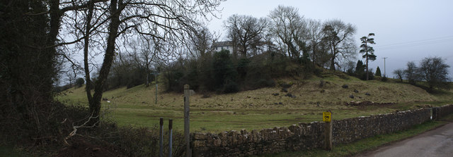
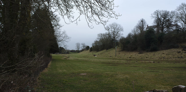
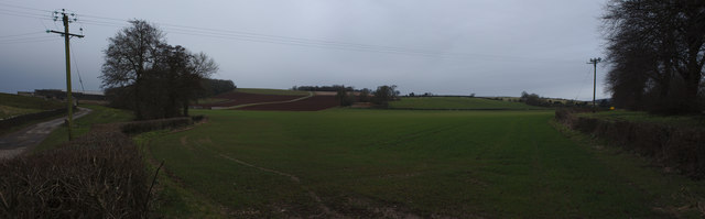
Black Pool is a prominent natural feature located in Monmouthshire, Wales. It is a freshwater lake situated within a picturesque landscape, encompassed by lush greenery and rolling hills. Spanning an area of approximately 20 acres, Black Pool is considered one of the largest bodies of water in the region.
The pool itself is renowned for its inky black appearance, which is attributed to the high levels of organic matter and minerals present in the water. This distinctive characteristic adds to the allure and mystery surrounding the site. The lake is primarily fed by rainfall and a small stream, ensuring a consistent flow of freshwater throughout the year.
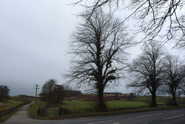
Surrounding Black Pool is a diverse ecosystem, encompassing a variety of habitats including ponds, pools, and freshwater marshes. The marshes are particularly noteworthy, harboring an array of plant species such as reeds, sedges, and rushes. These wetland areas provide a vital habitat for numerous bird species, including waterfowl and wading birds.
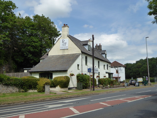
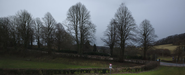
The site is a popular destination for nature enthusiasts, offering opportunities for birdwatching, hiking, and picnicking. Additionally, the calm and serene environment of Black Pool attracts those seeking tranquility and a break from the bustling city life.
The area surrounding Black Pool is managed by local conservation organizations to ensure the preservation of its natural beauty and wildlife. Efforts are made to maintain the delicate balance of the ecosystem and protect the various species that depend on it for survival.
If you have any feedback on the listing, please let us know in the comments section below.
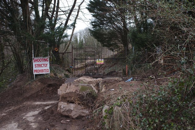
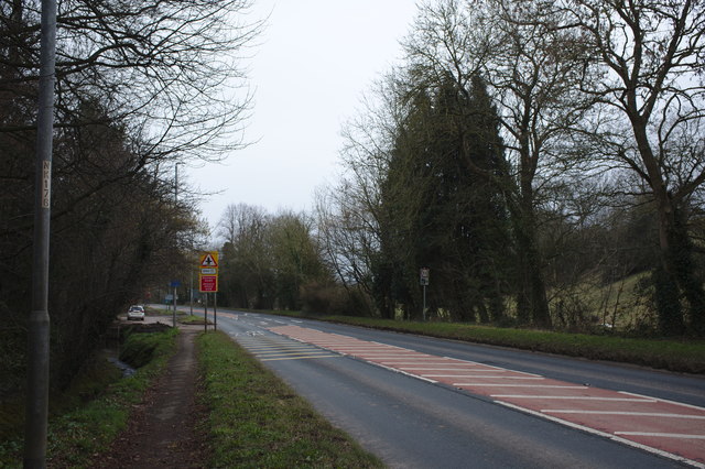
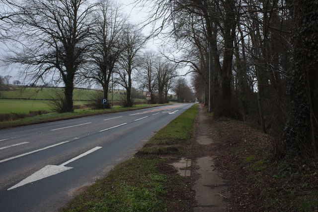
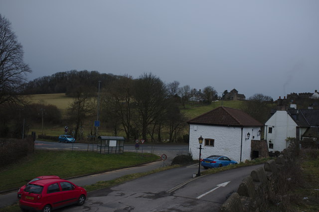
Black Pool Images
Images are sourced within 2km of 51.608818/-2.8174967 or Grid Reference ST4390. Thanks to Geograph Open Source API. All images are credited.


Black Pool is located at Grid Ref: ST4390 (Lat: 51.608818, Lng: -2.8174967)
Unitary Authority: Monmouthshire
Police Authority: Gwent
What 3 Words
///spouting.trifling.play. Near Llanvaches, Newport
Nearby Locations
Related Wikis

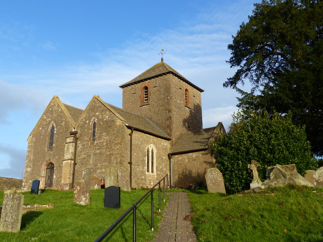
St. Brides Netherwent
St. Brides Netherwent (Welsh: Sant-y-brid) is a parish and largely deserted village in Monmouthshire, south-east Wales. It is centred 2 miles north of...

Penhow Woodlands National Nature Reserve
Penhow Woodlands National Nature Reserve is a national nature reserve and Site of Special Scientific Interest located in south east Wales near the village...

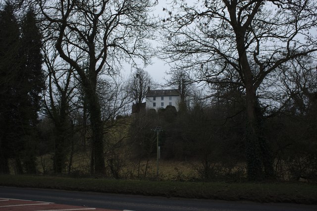
Penhow Castle
Penhow Castle, Penhow, Newport dates from the early 12th century. Extended and reconstructed in almost every century since, it has been claimed to be the...
Penhow
Penhow (Welsh: Pen-hŵ) is a small village and community (parish) just inside the eastern edge of the boundary of the city of Newport, South Wales, within...

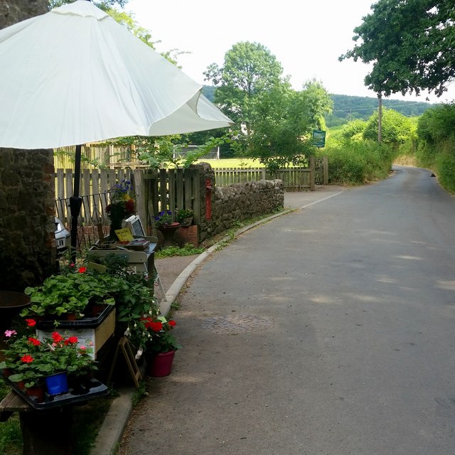
Llanvaches
Llanvaches or Llanfaches is a village and community parish within the boundaries of the city of Newport, Wales. It lies to the east of the urban area...

Llanvair Discoed
Llanvair Discoed (Welsh: Llanfair Is Coed) is a small village in Monmouthshire, south-east Wales, 6 miles west of Chepstow and 10 miles east of Newport...
Wentwood
Wentwood (Welsh: Coed Gwent), in Monmouthshire, South Wales, is a forested area of hills, rising to 1,014 feet (309 m) above sea level. It is located to...
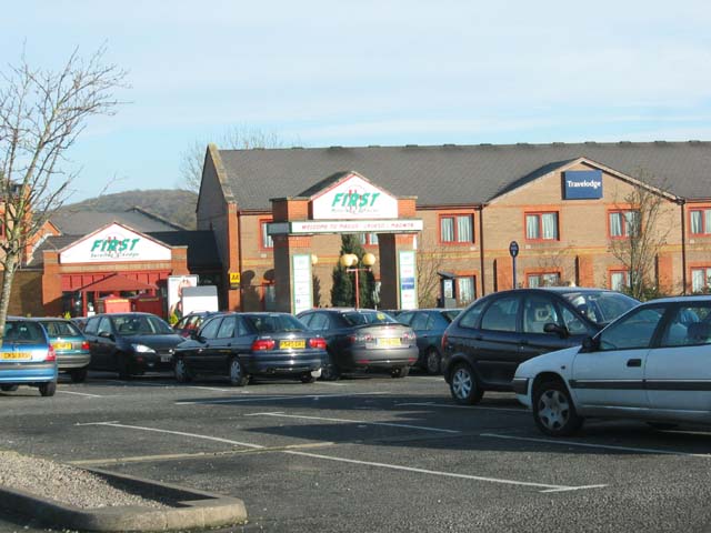
Magor services
Magor services (in Welsh: Gwasanaethau Magwyr) is a motorway service station on the M4, located just off junction 23A, at Magor near Newport, in Monmouthshire...
Nearby Amenities
Located within 500m of 51.608818,-2.8174967Have you been to Black Pool?
Leave your review of Black Pool below (or comments, questions and feedback).