Ghyll Head Reservoir
Lake, Pool, Pond, Freshwater Marsh in Lancashire South Lakeland
England
Ghyll Head Reservoir
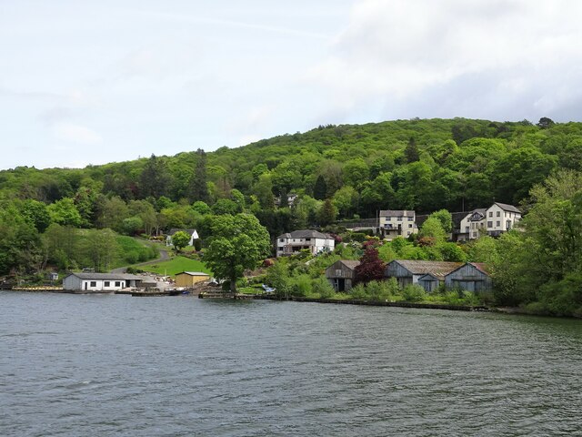
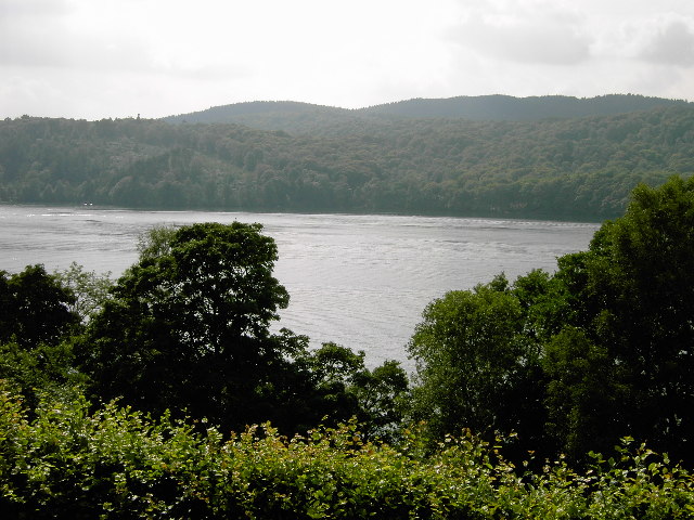
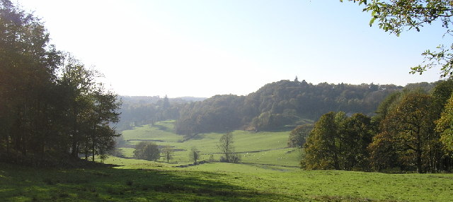
Ghyll Head Reservoir is a freshwater lake located in the county of Lancashire, England. It is nestled in the beautiful countryside near the town of Ulverston, in the southwestern part of the county. The reservoir spans an area of approximately 30 acres and is surrounded by picturesque landscapes and rolling hills.
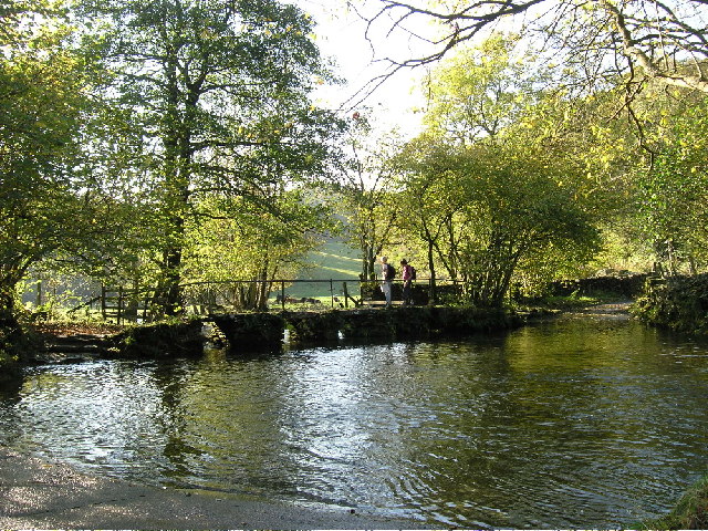
The lake serves as a vital water source for the surrounding region and is owned and managed by the local water authority. It was created by damming a small river known as Ghyll Beck, resulting in the formation of the reservoir. The dam helps regulate the water flow and maintain a consistent water level throughout the year.
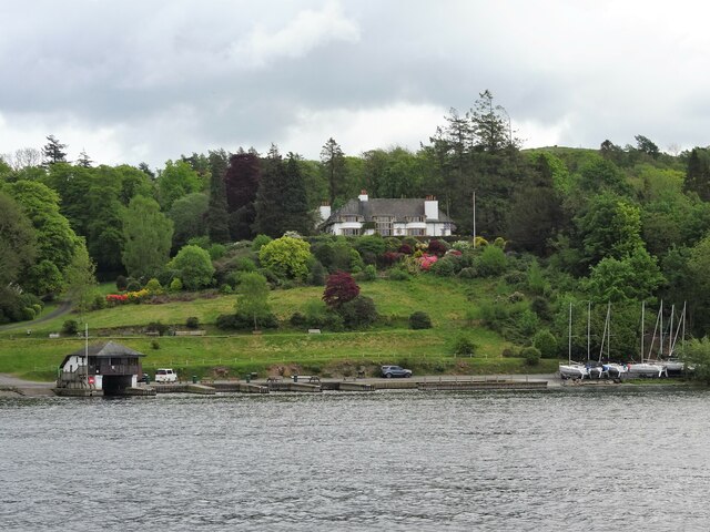
Ghyll Head Reservoir is a popular spot for outdoor enthusiasts and nature lovers. The calm and serene waters attract anglers who enjoy fishing for a variety of freshwater fish species, including brown trout and perch. The lake is also home to a rich diversity of birdlife, making it a haven for birdwatchers. Visitors can spot waterfowl, such as ducks and geese, as well as various species of wading birds.
The surrounding area of the reservoir is a haven for wildlife, with lush vegetation and reed beds providing a habitat for a variety of plants and animals. It is also designated as a freshwater marsh, further contributing to the biodiversity of the area. The marshland supports a range of wetland plants, including reeds, sedges, and rushes.
Overall, Ghyll Head Reservoir offers visitors a peaceful retreat amidst stunning natural scenery, with opportunities for fishing, birdwatching, and enjoying the tranquility of the freshwater marsh.
If you have any feedback on the listing, please let us know in the comments section below.
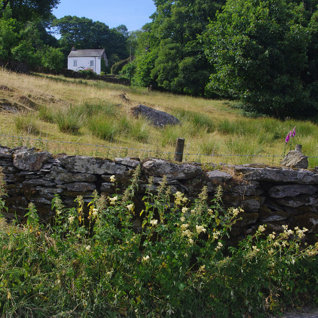
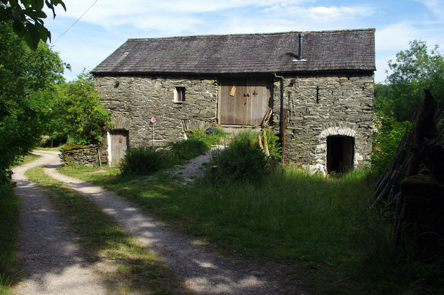
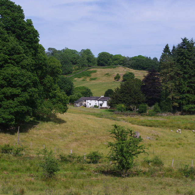
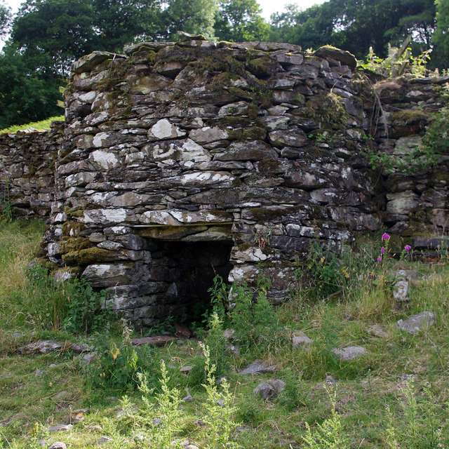
Ghyll Head Reservoir Images
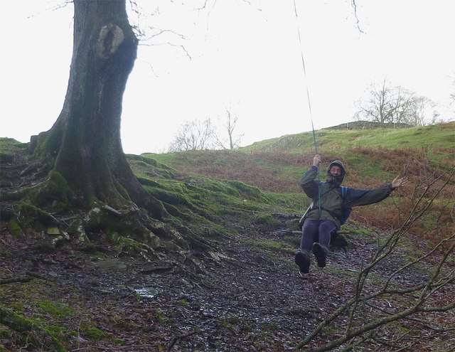
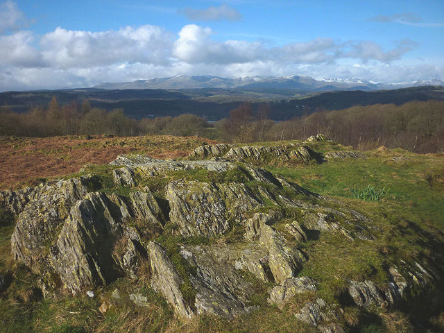
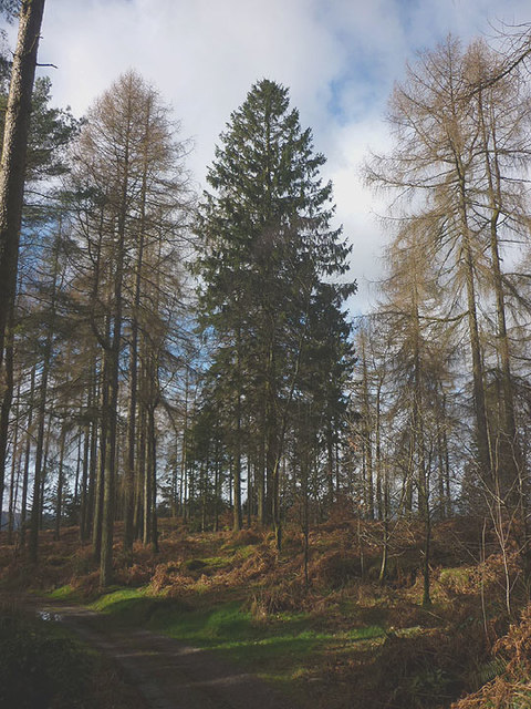
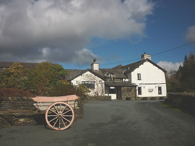
Images are sourced within 2km of 54.321204/-2.9266947 or Grid Reference SD3992. Thanks to Geograph Open Source API. All images are credited.
Ghyll Head Reservoir is located at Grid Ref: SD3992 (Lat: 54.321204, Lng: -2.9266947)
Administrative County: Cumbria
District: South Lakeland
Police Authority: Cumbria
What 3 Words
///strict.assurance.detail. Near Windermere, Cumbria
Nearby Locations
Related Wikis

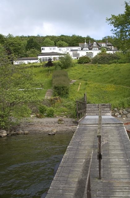
Moor Crag
Moor Crag (sometimes Moorcrag) is a Grade I listed house near Bowness-on-Windermere in South Lakeland, Cumbria, England, overlooking Windermere. It lies...

Broad Leys
Broad Leys is a house located in Ghyll Head, near Bowness-on-Windermere, South Lakeland, Cumbria, England. It is in the northern part of the parish of...

Windermere Motor Boat Racing Club
The Windermere Motor Boat Racing Club is a British boating club based at Bowness-on-Windermere, Cumbria. The Club was founded in the 1920s. Its present...
Storrs, Cumbria
Storrs is a hamlet in the civil parish of Windermere and Bowness, in the Westmorland and Furness district of the ceremonial county of Cumbria, England...
Nearby Amenities
Located within 500m of 54.321204,-2.9266947Have you been to Ghyll Head Reservoir?
Leave your review of Ghyll Head Reservoir below (or comments, questions and feedback).