Middlerigg Tarn

Lake, Pool, Pond, Freshwater Marsh in Westmorland South Lakeland

England

Middlerigg Tarn

Shell Garage forecourt. Troutbeck Bridge
Shell Garage forecourt. Troutbeck Bridge Credit: Eirian Evans

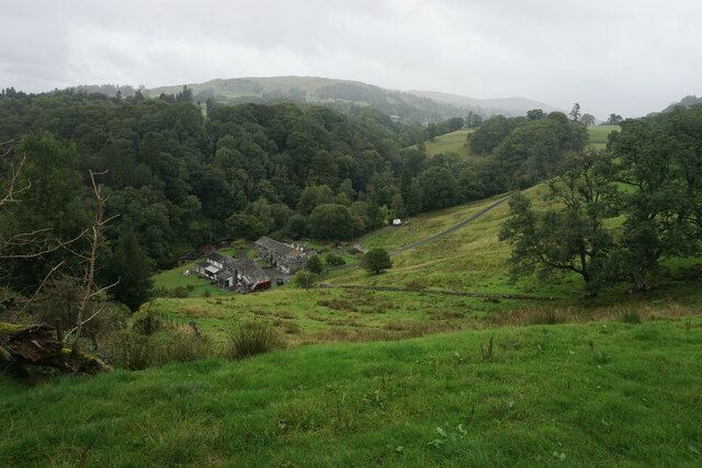
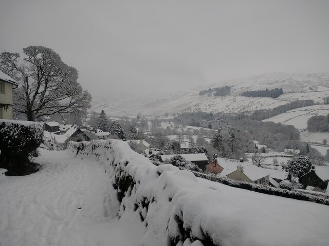
Middlerigg Tarn is a picturesque freshwater lake located in the region of Westmorland, England. Nestled amidst the stunning landscape of the Lake District National Park, this natural gem is a popular destination for nature enthusiasts and outdoor adventurers alike.

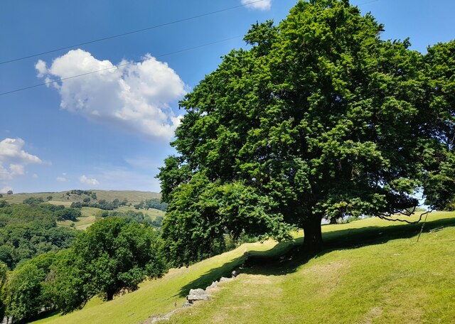
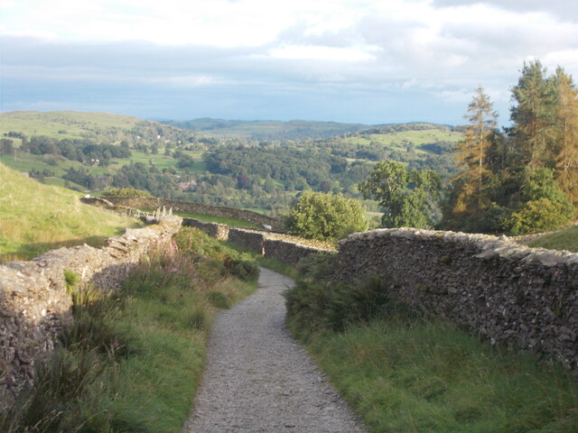
With a surface area of approximately 2 acres, Middlerigg Tarn offers a tranquil and serene setting for visitors to unwind and connect with nature. Surrounded by rolling hills and lush vegetation, the tarn boasts breathtaking views that are sure to captivate anyone who sets eyes on it.

The crystal-clear waters of Middlerigg Tarn are home to a variety of aquatic life, including fish, amphibians, and invertebrates. Fishing is a popular activity here, with anglers often trying their luck in catching the abundant trout that inhabit the lake. Its serene ambiance also makes it an ideal spot for birdwatching, as numerous bird species, such as ducks, geese, and herons, can be spotted in and around the tarn.

The tarn is also a haven for plant life, with its shores adorned with vibrant wildflowers and reeds. This rich vegetation provides an important habitat for a diverse range of insects and small mammals, making it a thriving ecosystem.

Access to Middlerigg Tarn is relatively easy, with a nearby parking area and a short walk through scenic footpaths. The location offers a sense of seclusion and tranquility, making it a perfect destination for those seeking a peaceful retreat in nature.

Overall, Middlerigg Tarn, Westmorland is a hidden gem that showcases the natural beauty of the Lake District. Whether it's fishing, birdwatching, or simply enjoying the scenery, this freshwater lake offers a memorable experience for all who visit.

If you have any feedback on the listing, please let us know in the comments section below.

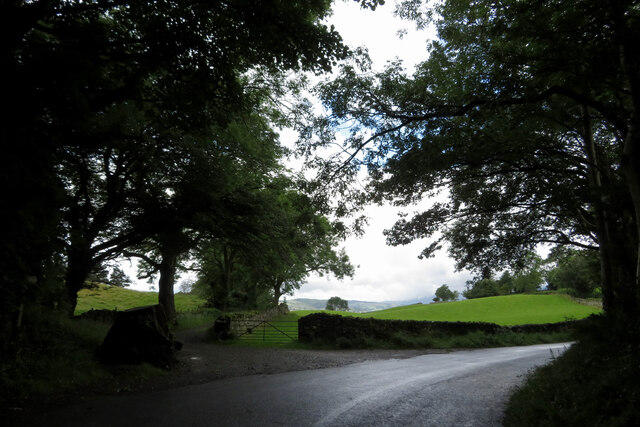
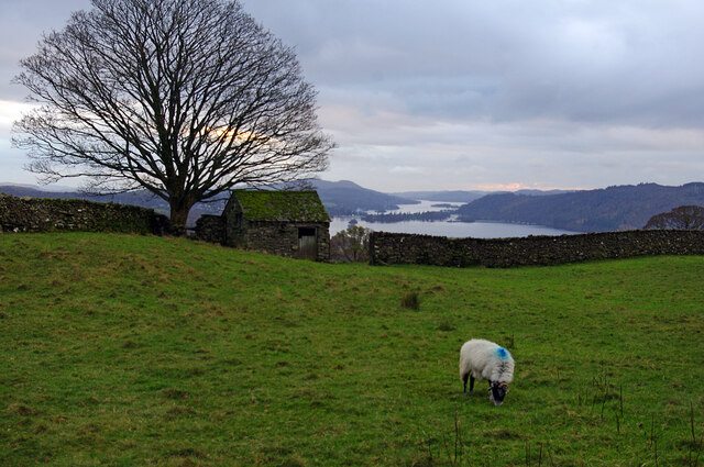
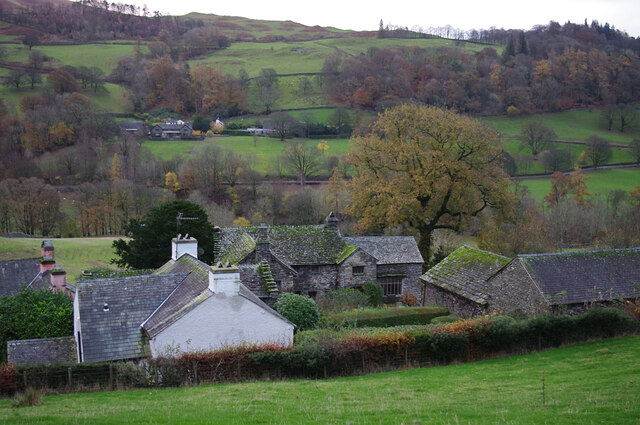
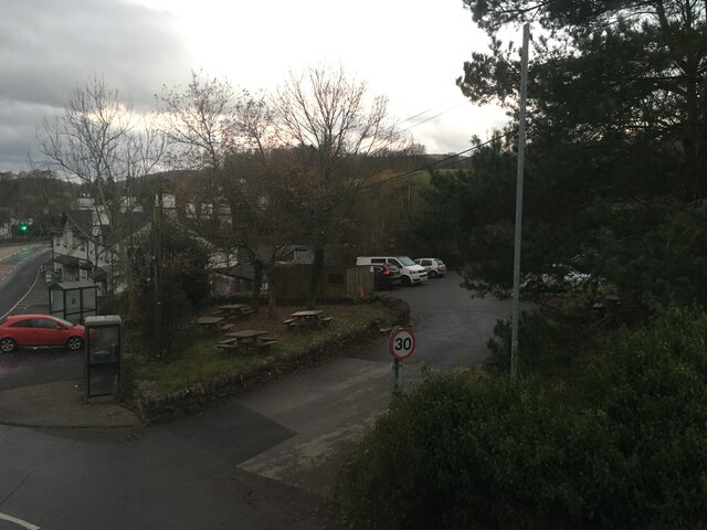
Middlerigg Tarn Images

Images are sourced within 2km of 54.402111/-2.92992 or Grid Reference NY3901. Thanks to Geograph Open Source API. All images are credited.

Shell Garage forecourt. Troutbeck Bridge
Fields and footpath near a bend in the road
Farmland by Robin Lane Field barn and grazing land above Troutbeck. Windermere is in the distance.
Farmland by Robin Lane
Field barn and grazing land above Troutbeck. Windermere is in the distance.
Troutbeck from Robin Lane The village of Troutbeck is spread along the valley, mostly on the west side, with a few clusters of farms and houses.
There is a high proportion of listed buildings.
Troutbeck from Robin Lane
The village of Troutbeck is spread along the valley, mostly on the west side, with a few clusters of farms and houses. There is a high proportion of listed buildings.
Car park and beer garden for the Sun Inn, Troutbeck Bridge
Hydrangeas at Holehird Holehird Gardens maintain several National Collections. The hydrangeas held this status for a while but the local climate proved a bit too challenging for some varieties. The gardens now concentrate on varieties which can thrive locally.
Hydrangeas at Holehird
Holehird Gardens maintain several National Collections. The hydrangeas held this status for a while but the local climate proved a bit too challenging for some varieties. The gardens now concentrate on varieties which can thrive locally.
Holehird Care Home This was for many years a Leonard Cheshire care home but it has been closed for about a year. The local council is trying to dispose of the building.
Holehird Care Home
This was for many years a Leonard Cheshire care home but it has been closed for about a year. The local council is trying to dispose of the building.
Holehird Gardens An excellent fellside garden from where you can see up to Langdale.
Holehird Gardens
An excellent fellside garden from where you can see up to Langdale.
Walled garden at Holehird The gardens are managed by the Lakeland Horticultural Society through its volunteers.
Walled garden at Holehird
The gardens are managed by the Lakeland Horticultural Society through its volunteers.
Rock garden at Holehird The gardens are run by volunteers of the Lakeland Horticultural Society and have several National Plant Collections.
Rock garden at Holehird
The gardens are run by volunteers of the Lakeland Horticultural Society and have several National Plant Collections.
Lane above Trout Beck Looking up the valley. The cottages on the right have a good view to the Coniston and Langdale fells.
Lane above Trout Beck
Looking up the valley. The cottages on the right have a good view to the Coniston and Langdale fells.
Boot Cottages Traditional Cumbrian architecture as seen from Dodd's Lane.
Boot Cottages
Traditional Cumbrian architecture as seen from Dodd's Lane.
Sheep grazing off Dodd's Lane The eastern side of the Trout Beck valley.
Sheep grazing off Dodd's Lane
The eastern side of the Trout Beck valley.
Mill House A small cluster of dwellings by Trout Beck, viewed from Patterdale Road.
Mill House
A small cluster of dwellings by Trout Beck, viewed from Patterdale Road.
Bus stop at Troutbeck Bridge
Start of Footpath at Boot Start of a good footpath which continues to Thickholme Bridge.
Start of Footpath at Boot
Start of a good footpath which continues to Thickholme Bridge.
Robin Lane (bridleway) A view towards Allen Knott and Holehird in the distance.
Robin Lane (bridleway)
A view towards Allen Knott and Holehird in the distance.
Looking across Troutbeck from the end of Hundreds Road in the snow
Show me another place!

Middlerigg Tarn is located at Grid Ref: NY3901 (Lat: 54.402111, Lng: -2.92992)

Administrative County: Cumbria

District: South Lakeland

Police Authority: Cumbria

What 3 Words

///snack.leaflet.intruding. Near Windermere, Cumbria

Related Wikis

Brockhole

The Brockhole Lake District Visitor Centre, also known as the Brockhole National Park Visitor Centre, is a visitor centre and tourist attraction managed...
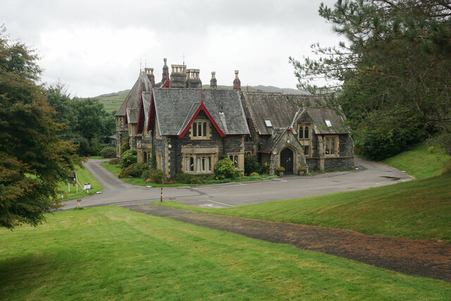
Langdale Chase

Langdale Chase, Windermere is a house of historical significance and is listed on the English heritage register. It consists of six acres of landscaped...
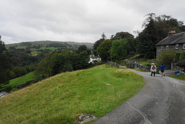
Troutbeck Bridge

Troutbeck Bridge is a village in the civil parish of Windermere and Bowness, in the Westmorland and Furness district, in the ceremonial county of Cumbria...

The Lakes School

The Lakes School is a coeducational secondary school and sixth form located in Troutbeck Bridge, Windermere, in the English county of Cumbria.It is a comprehensive...

Holbeck Ghyll

Holbeck Ghyll is a restaurant located in Windermere, Cumbria, England. "The late 19th century building was once Lord Lonsdale's hunting lodge and only...
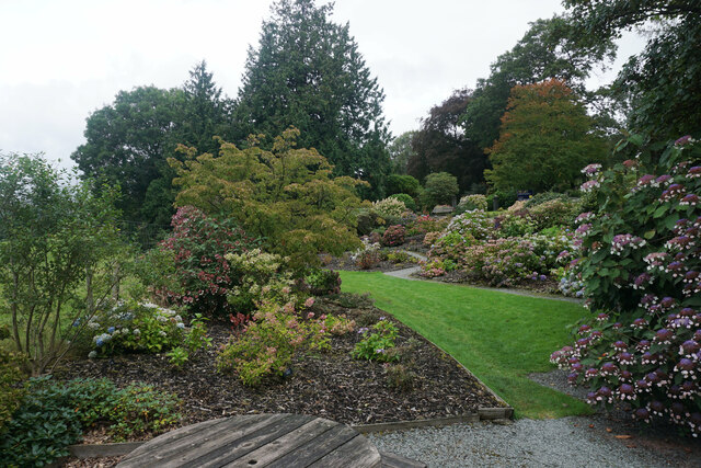
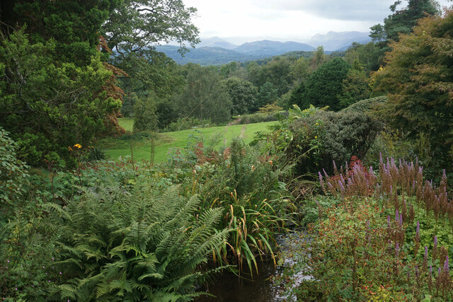
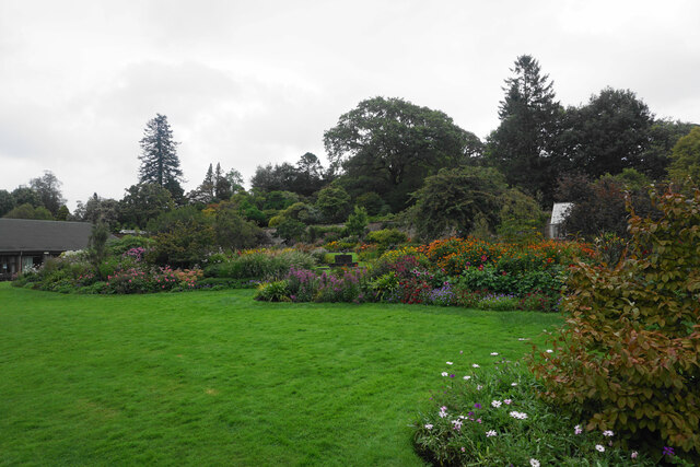
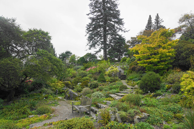
Holehird Gardens

Holehird Gardens is an extensive 10-acre site located near Windermere, Cumbria, England. It is the home of the Lakeland Horticultural Society. The garden...

Windermere School

Windermere School is an independent, coeducational boarding and day school in the English Lake District. Founded in 1863, it has approximately 360 pupils...
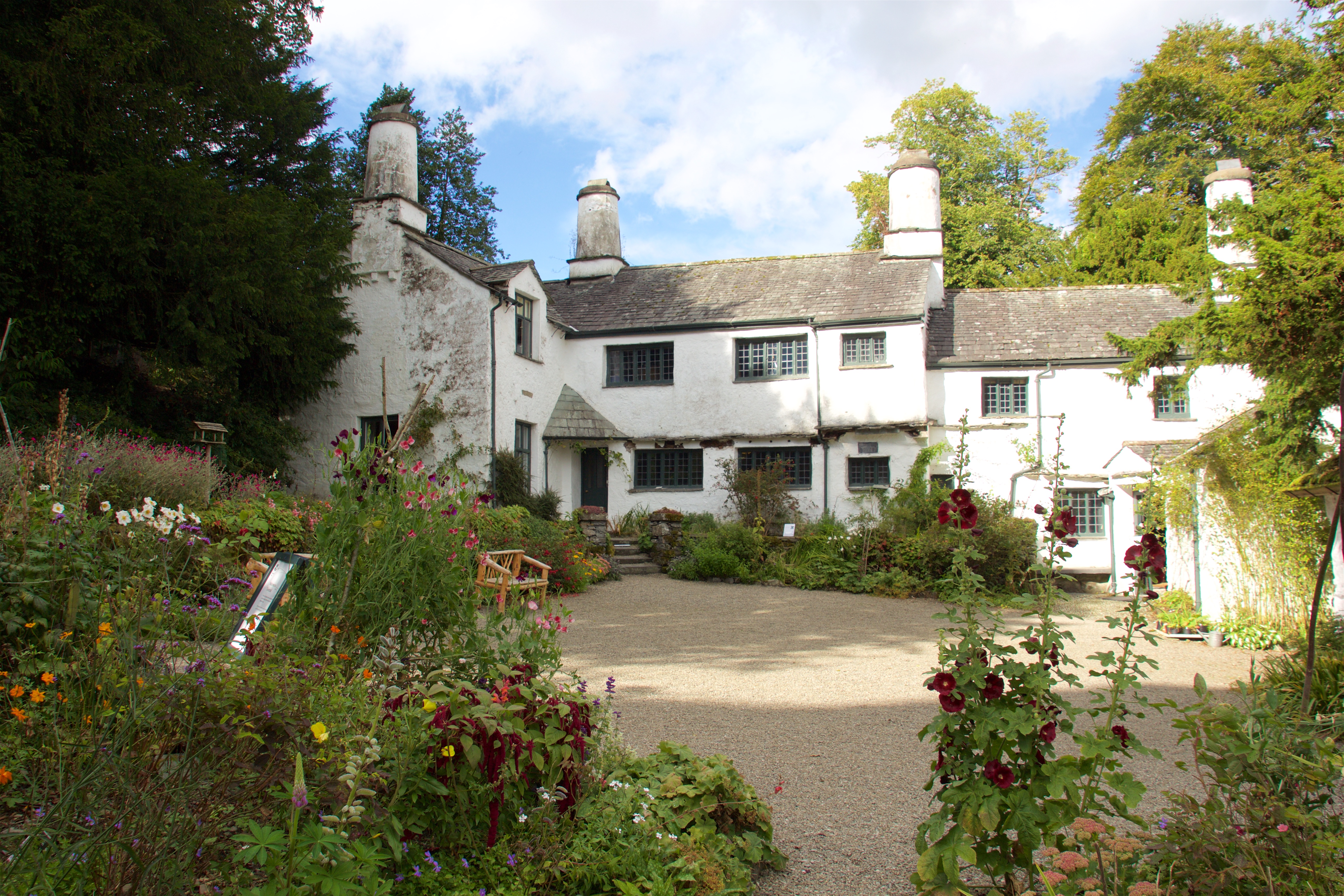
Townend

Townend is a 17th-century house located in Troutbeck, in the civil parish of Lakes, near Windermere, Cumbria, England, and in the ownership of the National...

Nearby Amenities

Located within 500m of 54.402111,-2.92992
Power: pole
Lat/Long: 54.4050643/-2.9254745
Power: pole
Lat/Long: 54.4051143/-2.9269792
Power: pole
Lat/Long: 54.4047708/-2.9243641
Give Way
Direction: forward
Lat/Long: 54.3983553/-2.933378
Give Way
Direction: backward
Lat/Long: 54.3987451/-2.933805
Power: pole
Lat/Long: 54.3998184/-2.9234362
Power: pole
Lat/Long: 54.4001729/-2.9245144
Power: pole
Lat/Long: 54.4008723/-2.9251152
Power: pole
Lat/Long: 54.4016998/-2.9258555
Power: pole
Lat/Long: 54.4024774/-2.9266226
Power: pole
Lat/Long: 54.4030988/-2.9277009
Power: pole
Lat/Long: 54.4056029/-2.9321373
Power: pole
Lat/Long: 54.4050066/-2.9311502
Power: pole
Lat/Long: 54.4044695/-2.9300934
Power: pole
Lat/Long: 54.4037638/-2.9288435
The data included in this document is from www.openstreetmap.org. The data is made available under ODbL.

Have you been to Middlerigg Tarn?

Leave your review of Middlerigg Tarn below (or comments, questions and feedback).