Newclose Wood
Wood, Forest in Westmorland South Lakeland
England
Newclose Wood
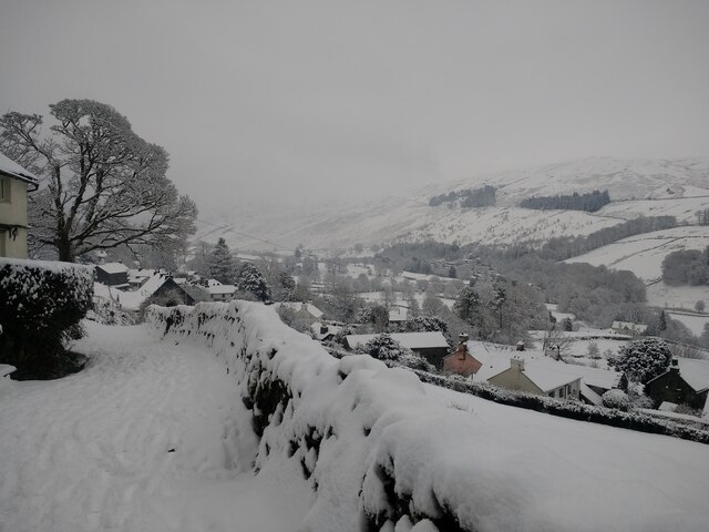
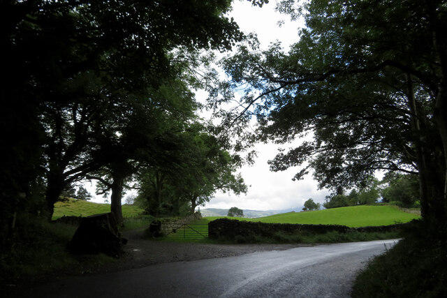
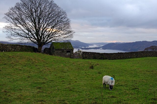
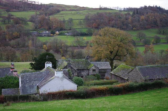
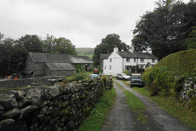
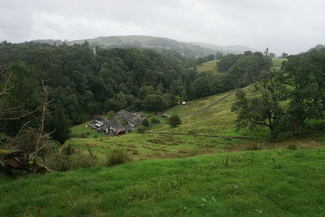
Newclose Wood is a picturesque forest located in the county of Westmorland, England. Covering an area of approximately 400 acres, it is a haven of natural beauty and biodiversity. The wood is situated in the northern part of the county, near the village of Newclose, and is easily accessible by road.
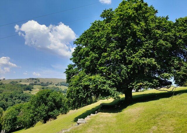
The woodland is predominantly composed of broadleaf trees, including oak, beech, and ash, which create a dense canopy overhead. These ancient trees coexist with a variety of smaller shrubs and plants, such as bluebells, primroses, and wild garlic, which carpet the forest floor in spring.
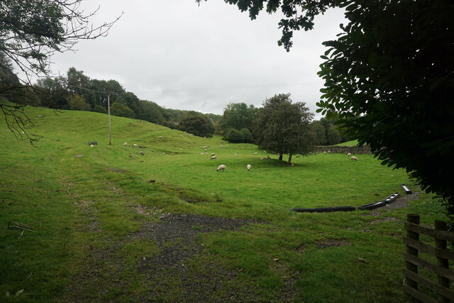
Newclose Wood is renowned for its diverse wildlife. It provides a sanctuary for numerous bird species, including woodpeckers, owls, and warblers, as well as mammals like badgers, foxes, and deer. The forest is also home to a number of rare and protected species, such as the red squirrel and the pearl-bordered fritillary butterfly.
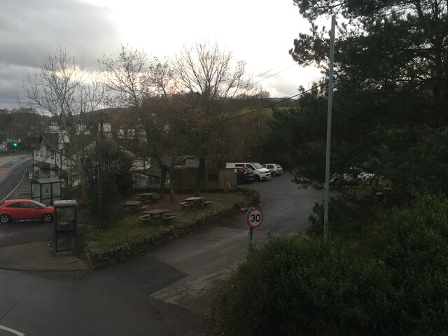
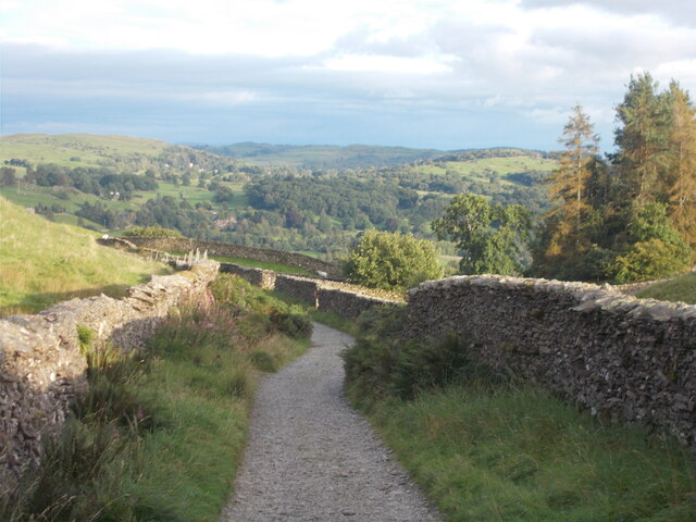
The wood offers several walking trails and paths, allowing visitors to explore its tranquil surroundings. These paths meander through the forest, offering glimpses of stunning scenery, tranquil streams, and hidden glades.
Newclose Wood is a popular destination for nature enthusiasts, photographers, and those seeking a peaceful retreat. Its natural beauty and rich biodiversity make it an important ecological site in Westmorland. Visitors to the wood can immerse themselves in its serene atmosphere, marvel at its ancient trees, and experience the wonders of the natural world.
If you have any feedback on the listing, please let us know in the comments section below.
Newclose Wood Images
Images are sourced within 2km of 54.405585/-2.9386722 or Grid Reference NY3901. Thanks to Geograph Open Source API. All images are credited.


Newclose Wood is located at Grid Ref: NY3901 (Lat: 54.405585, Lng: -2.9386722)
Administrative County: Cumbria
District: South Lakeland
Police Authority: Cumbria
What 3 Words
///buns.escapades.them. Near Windermere, Cumbria
Nearby Locations
Related Wikis

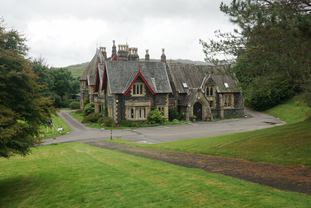
Langdale Chase
Langdale Chase, Windermere is a house of historical significance and is listed on the English heritage register. It consists of six acres of landscaped...

Brockhole
The Brockhole Lake District Visitor Centre, also known as the Brockhole National Park Visitor Centre, is a visitor centre and tourist attraction managed...

Holbeck Ghyll
Holbeck Ghyll is a restaurant located in Windermere, Cumbria, England. "The late 19th century building was once Lord Lonsdale's hunting lodge and only...
The Samling Hotel
The Samling Hotel (previously known as Dove Nest) near Windermere is a building of historical significance and is listed on the English Heritage. It was...
Townend
Townend is a 17th-century house located in Troutbeck, in the civil parish of Lakes, near Windermere, Cumbria, England, and in the ownership of the National...
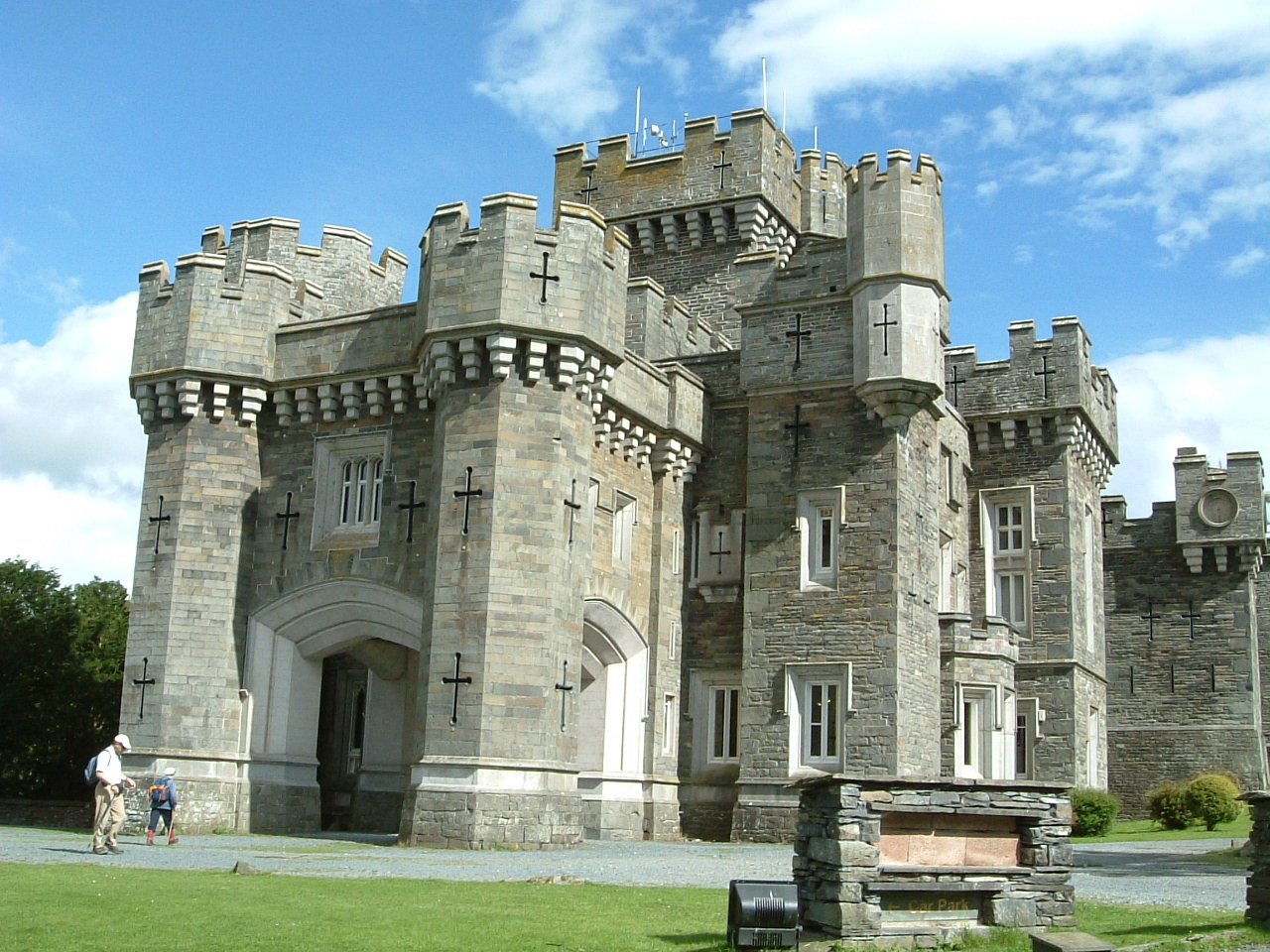
Wray Castle
Wray Castle is a Victorian neo-gothic building at Claife in Cumbria within the boundaries of the historic county of Lancashire. The house and grounds have...

RMS Wray Castle
RMS Wray Castle was a training college for Merchant Navy radio officers based at Wray Castle in the Lake District, from 1958 to 1998.At 11:40 p.m., on...

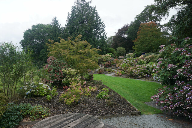
Stagshaw Garden
Stagshaw Garden is a woodland garden situated south of Ambleside, in Cumbria, England, and in the ownership of the National Trust.The garden is noted for...
Nearby Amenities
Located within 500m of 54.405585,-2.9386722Have you been to Newclose Wood?
Leave your review of Newclose Wood below (or comments, questions and feedback).